Amberjack around Crystal River
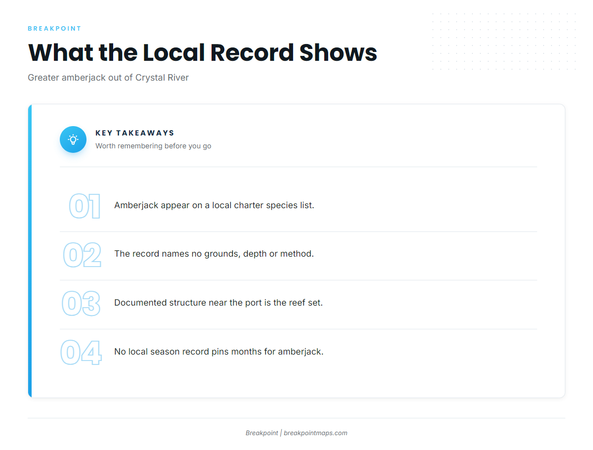
The only local record of greater amberjack fishing out of Crystal River is a charter species list. Crystal River is a Nature Coast port in Citrus County on the Gulf of America (Gulf of Mexico), and its waters open to nearshore reefs and a distant Gulf bank. For the wider coast, see the greater amberjack fishing in the Gulf of Mexico and the Gulf of Mexico offshore fishing guide.
Greater amberjack appear on that list, but it names no grounds, depth or method. The documented structure near the port is the set of reefs covered below, and where to look on them is up to you.
No local season record pins down months for amberjack here. The greater amberjack guide covers biology, depth habits and timing.
The local record includes:
- One charter species list that includes greater amberjack
- Four named artificial reef sites with depths
- One named Gulf bank, the Middle Grounds
- One nearby NOAA station for wind and sea numbers
Reading conditions before the run
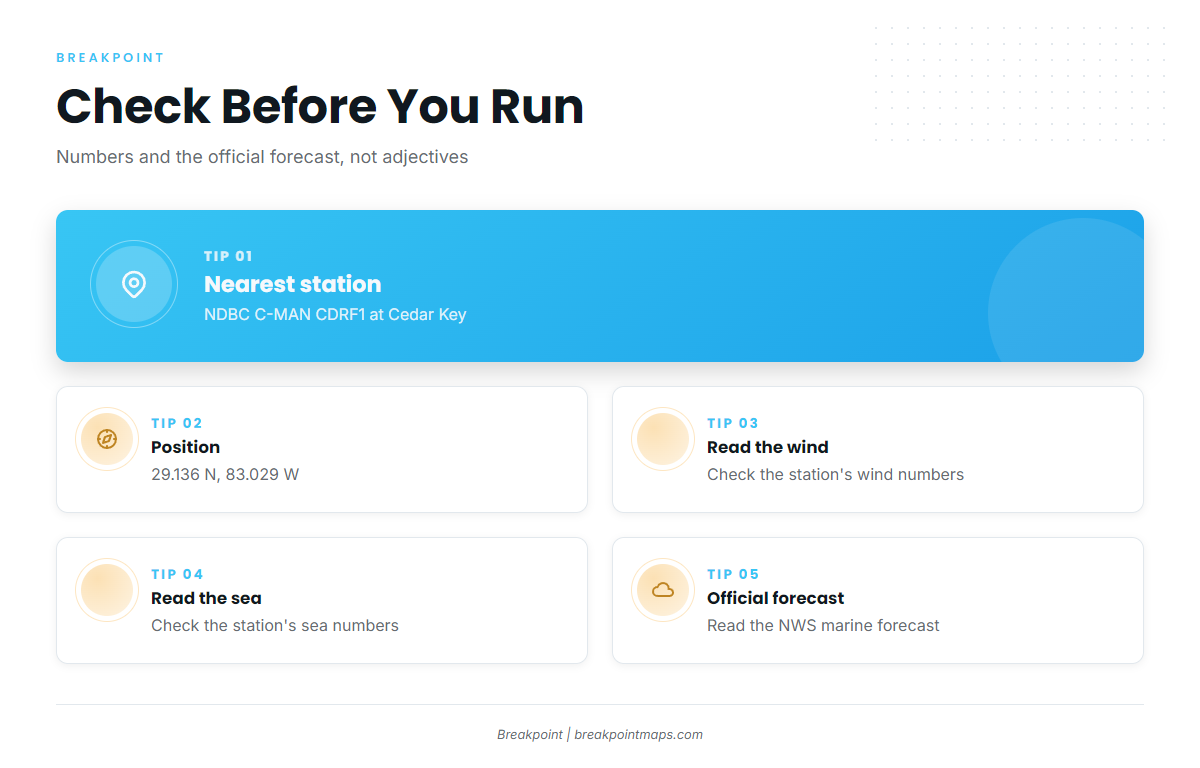
The nearest NOAA station is NDBC C-MAN station CDRF1 at Cedar Key, 29.136 N 83.029 W. Check its wind and sea numbers before leaving the dock, then read the official NWS marine forecast for the coastal waters you plan to run. Wind speed, wave height and period show what the water is doing.
Grounds and structure off Crystal River
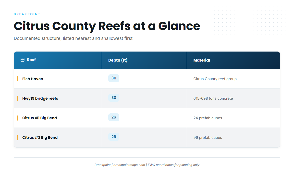
The table lists the Citrus County artificial reefs and the named bank in the local record, nearest and shallowest first. These are documented structures, and none of them is documented as an amberjack spot.
| Reef | Depth (ft) | Deployed | Material | FWC coordinates |
|---|---|---|---|---|
| Fish Haven (Fish Haven #1 area) | 30 | 1985–2000 | Citrus County artificial reef group | 28.786–28.791 N, 83.054–83.061 W |
| Hwy19 bridge-material reefs (Hwy19BCB-1, -2, -3) | 30 | Late 2025 | 615–698 tons concrete bridge material | Not in the record; see FWC reef layer |
| Citrus #1 Big Bend Reefs | 26 | 1995 | 24 prefabricated cubes | 28.9166 N, 82.8715 W |
| Citrus #2 Big Bend Reefs | 26 | 1995 | 96 prefabricated cubes | 28.9130 N, 82.8828 W |
Swipe the table sideways to see every column.
Coordinates are for planning, not navigation. FWC coordinates can be saved as waypoints.
For the regional picture beyond this port, see the Gulf reef fish guides.
Fish Haven
Fish Haven is a Citrus County artificial reef group. The Fish Haven #1 area holds deployments made from 1985 to 2000, in 30 ft at 28.786–28.791 N, 83.054–83.061 W on the FWC layer. The Citrus County fish haven program is the county source for the reef group.
Hwy19 bridge-material reefs
The sites are Hwy19BCB-1, -2 and -3. Each is built from concrete bridge material, 615–698 tons across the set. They sit in 30 ft and were deployed in late 2025. The local record gives no coordinates, so use FWC’s reef layer for positions.
Citrus #1 Big Bend Reefs
- Deployed in 1995
- 24 prefabricated cubes
- 26 ft
- 28.9166 N, 82.8715 W (FWC layer)
Citrus #2 Big Bend Reefs
- Deployed in 1995
- 96 prefabricated cubes
- 26 ft
- 28.9130 N, 82.8828 W (FWC layer)
Citrus #2 holds four times as many cubes as Citrus #1.
Middle Grounds
The Middle Grounds is a Gulf bank named on local trip menus. Local records give no distance, depth or run time for it.
How it is fished and who fishes it
The local record for amberjack is a species list, so technique is covered in the species guide above. This section covers what the record does show.
Methods
The local record attaches no method to amberjack. No baits, jigs or rigs are listed here because no local source ties any of them to this fishery.
Native Fishing Charters
Native Fishing Charters lists greater amberjack on its species list. The crew is Capt. Bobby Horn and first mate Alyssa. The Native Fishing Charters listing is the public record for the operator.
A guided trip is one way to learn the water before running your own boat. Ask the captain what the trip targets before you book.
FAQ
Is there greater amberjack fishing out of Crystal River?
Greater amberjack appear on a local charter species list. The record names no grounds or depth, so greater amberjack fishing out of Crystal River rests on that listing and the structure above.
What artificial reefs are near Crystal River?
Fish Haven, the Hwy19 bridge-material reefs, and Citrus #1 and #2 Big Bend Reefs. The Middle Grounds is the distant named bank.
How deep are the Citrus County reefs?
Fish Haven and the Hwy19 reefs sit in 30 ft. Citrus #1 and #2 sit in 26 ft.
Which buoy should I check before running offshore from Crystal River?
NDBC C-MAN station CDRF1 at Cedar Key, 29.136 N 83.029 W. Pair it with the official NWS marine forecast.
Which charter lists greater amberjack from Crystal River?
Native Fishing Charters, with Capt. Bobby Horn and first mate Alyssa.
Where are the amberjack rules for Crystal River?
The Florida regulations page covers state waters. The federal Gulf reef fish rules also apply at the Middle Grounds. Check both before fishing.