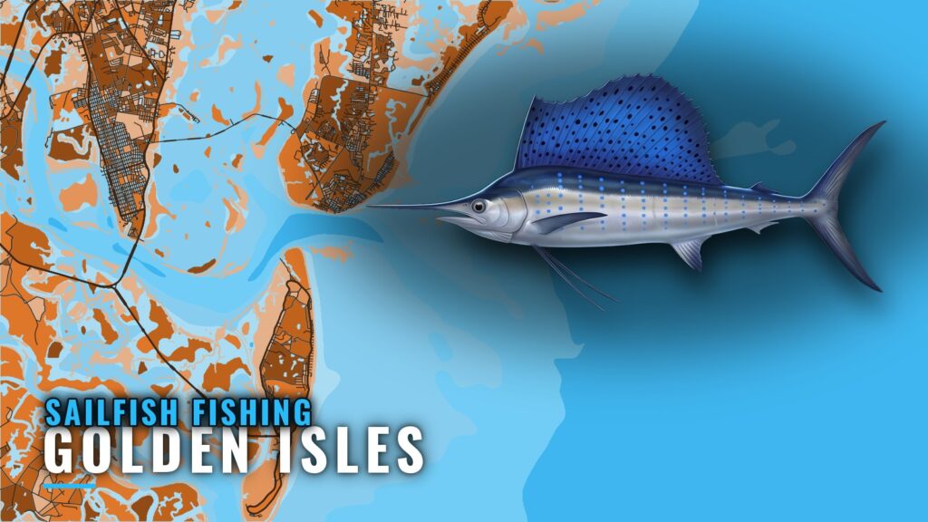
Sailfish fishing out of Golden Isles means a run to the western edge of the Gulf Stream, trolling current rips, humps and edges. Boats leave from Brunswick, St. Simons and Jekyll and cross St. Simons Sound before turning east. This page covers the run, the named reefs along it with depths and distances, and how the water is fished.
Where boats run for sailfish out of Golden Isles
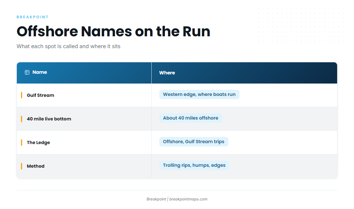
Boats run to the western edge of the Gulf Stream, passing the nearshore Georgia reefs on the way out (covered in the grounds section below). Check wind, wave height and period at the Grays Reef buoy and compare them with the official marine forecast.
Western edge of the Gulf Stream
This is the destination for sailfish. Southeastern Angling lists Gulf Stream trips as no longer offered, so the run is open mainly to anglers with their own boats.
The 40 mile live bottom
The 40 mile live bottom is about 40 miles offshore. The name comes from Southeastern Angling.
The Ledge
The Ledge is offshore, fished on Gulf Stream trips.
When sailfish are around
For species behavior and general timing, see the sailfish fishing guide. For the Gulf Stream along the Southeast and the regional picture, see sailfish along the Atlantic Southeast (see also the Atlantic Southeast fishing guide).
Grounds and structure along the run
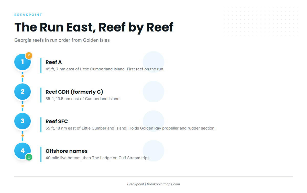
Heading east, the Georgia reefs fall in this order: Reef A at 7 nm, Reef CDH at 13.5 nm, then Reef SFC at 18 nm.
| Reef | Depth (ft) | Distance | Reference point |
|---|---|---|---|
| Reef A | 45 | 7 nm east | Little Cumberland Island |
| Reef CDH (formerly C) | 55 | 13.5 nm east | Cumberland Island |
| Reef SFC | 55 | 18 nm east | Little Cumberland Island |
| G Reef (state list: HLHA, formerly G) |
Positions for the reefs are on the Georgia DNR offshore reef charts. Chart Contours shows the bottom along the run, and OBS SST shows where the edges sit. The chart layers are not for navigation.
Reef A
Reef A lies in 45 ft, 7 nm east of Little Cumberland Island. It is the first reef on the run.
Reef CDH
Reef CDH lies in 55 ft, 13.5 nm east of Cumberland Island. The state list shows CDH, formerly C, so older charts and logs may show "C."
Reef SFC and the Golden Ray section
Georgia Reef SFC lies in 55 ft, 18 nm east of Little Cumberland Island. It includes the Golden Ray propeller pieces, the propeller and rudder section. The Golden Ray is a capsized vessel lying on its port side, partly removed.
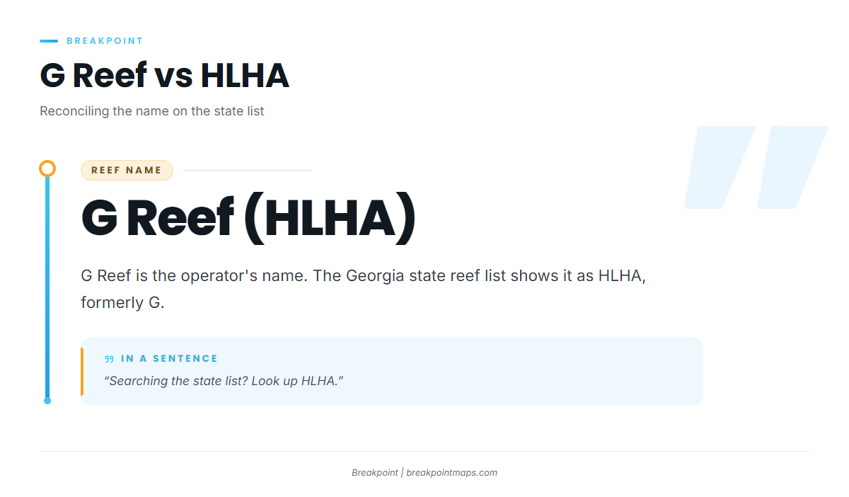
G Reef (HLHA)
The operator calls it G Reef. The state list shows HLHA, formerly G, so search the state list for HLHA.
How sailfish are fished here
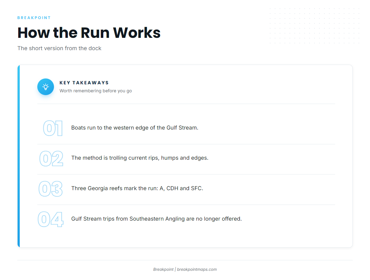
The local method is trolling current rips, humps and edges on the western edge of the Gulf Stream.
Current rips
Boats troll the rips on the western edge of the Gulf Stream. OBS SST shows an edge before you leave the dock.
Humps and edges
Humps and edges are the structure the trolling works. The 40 mile live bottom and The Ledge are places on the run, and neither guarantees fish.
Who fishes for sailfish from this port
Anglers running their own boats make up most of the fishery here, since Southeastern Angling lists Gulf Stream trips as no longer offered. If you want an operator, look at billfish operators elsewhere.
FAQ: sailfish fishing out of Golden Isles
How far do boats run for sailfish out of Golden Isles?
Boats run to the western edge of the Gulf Stream. The 40 mile live bottom is about 40 miles offshore, and The Ledge is fished on Gulf Stream trips.
What is G Reef on the Georgia state reef list?
G Reef is the operator’s name. The state list shows HLHA, formerly G.
Which reefs lie along the run?
- Reef A: 45 ft, 7 nm east of Little Cumberland Island
- Reef CDH: 55 ft, 13.5 nm east of Cumberland Island
- Reef SFC: 55 ft, 18 nm east of Little Cumberland Island, holding the Golden Ray propeller and rudder section
Do guided Gulf Stream trips run from Golden Isles?
Southeastern Angling lists Gulf Stream trips as no longer offered.
How are sailfish fished here?
By trolling current rips, humps and edges on the western edge of the Gulf Stream.