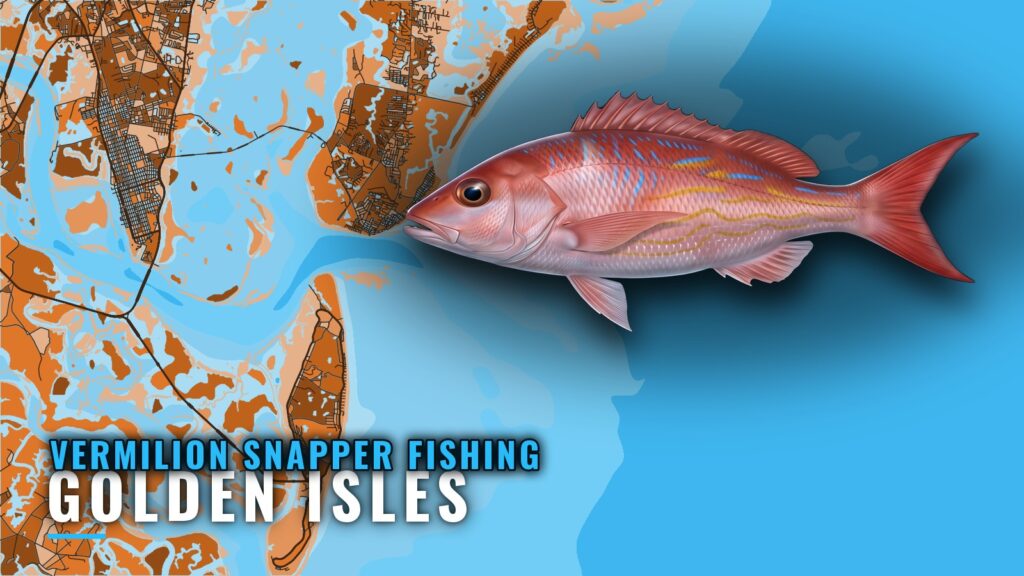
Where boats run for vermilion snapper out of Golden Isles
Vermilion snapper fishing out of Golden Isles means bottom fishing on live bottom offshore. Local operators call the fish "beeliners," and the NOAA Fisheries vermilion snapper profile covers the species. Boats leave from the Golden Isles and work outward in steps, from state reefs to live bottom to Gulf Stream trips. For the wider coast, see the vermilion snapper fishing in the Atlantic Southeast and the Atlantic Southeast offshore fishing guide.
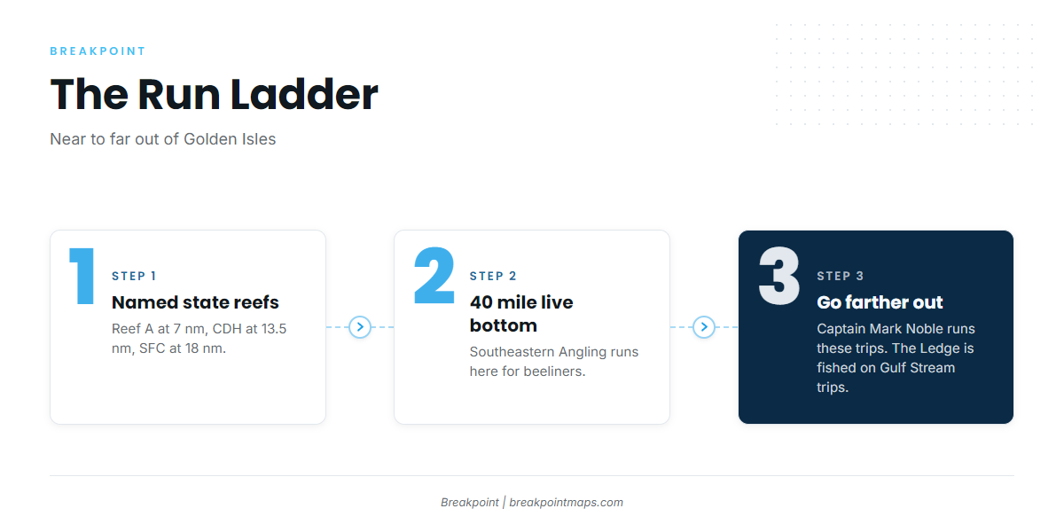
The grounds, depths and offsets below are enough to plan a run:
- Named state reefs. Reef A is 7 nautical miles east of Little Cumberland Island. CDH is 13.5 nautical miles east of Cumberland Island. SFC is 18 nautical miles east of Little Cumberland Island.
- The 40 mile live bottom. Southeastern Angling runs here for beeliners.
- "Go farther out" trips and The Ledge. Captain Mark Noble runs "go farther out" trips. The Ledge is fished offshore on Gulf Stream trips.
Named grounds and structure near Golden Isles
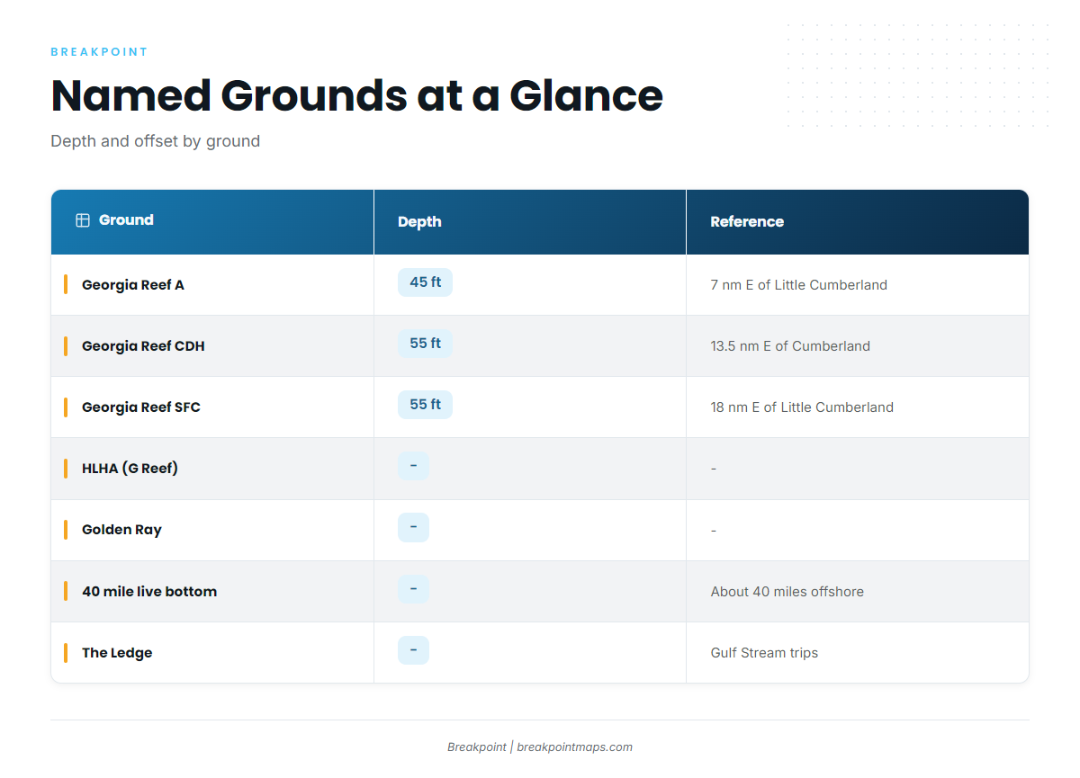
The state reef list uses letter codes, and local operators still use some older names. The table lines them up.
| Ground | Depth | Distance/reference | Notes |
|---|---|---|---|
| Georgia Reef A | 45 ft | 7 nm east of Little Cumberland Island | Nearest named reef |
| Georgia Reef CDH (formerly C) | 55 ft | 13.5 nm east of Cumberland Island | – |
| Georgia Reef SFC | 55 ft | 18 nm east of Little Cumberland Island | Includes Golden Ray propeller and rudder section |
| HLHA ("G Reef") | – | – | State list shows HLHA, formerly G |
| Golden Ray | – | – | Capsized vessel on its port side, partly removed |
| 40 mile live bottom | – | About 40 miles offshore | Southeastern Angling, beeliners |
| The Ledge | – | Offshore on Gulf Stream trips | – |
Chart layers are not for navigation.
For the regional picture and the other fish on this bottom, see the reef fish guides.
Georgia Reef A
Reef A sits in 45 ft of water, 7 nautical miles east of Little Cumberland Island. It is the nearest of the named reefs.
Georgia Reef CDH
CDH sits in 55 ft, 13.5 nautical miles east of Cumberland Island. It was formerly called C, so older references to C Reef point to the same reef.
Georgia Reef SFC and the Golden Ray section
SFC sits in 55 ft, 18 nautical miles east of Little Cumberland Island. It includes the propeller and rudder section of the Golden Ray.
HLHA, the reef operators call G Reef
Operators call it "G Reef." The state list shows it as HLHA, formerly G, so look for it under HLHA.
The Golden Ray
The Golden Ray is a capsized vessel lying on its port side, partly removed. Its propeller and rudder section is on SFC, described above.
The 40 mile live bottom and The Ledge
The live bottom is about 40 miles offshore, and Southeastern Angling fishes it for beeliners. The Ledge is fished offshore on Gulf Stream trips.
How vermilion snapper are fished locally
Local boats bottom fish on live bottom, which is the method for beeliners out of this port. Tackle, biology and depth range are covered in the vermilion snapper guide.
Who fishes for beeliners out of Golden Isles
Two local charters list vermilion snapper.
Southeastern Angling
Southeastern Angling lists beeliners on live bottom in the 40 mile range.
Captain Mark Noble (Georgia Fishing)
Captain Mark Noble (Georgia Fishing) lists vermilion snapper on "go farther out" trips.
FAQ: vermilion snapper out of Golden Isles
What is a beeliner?
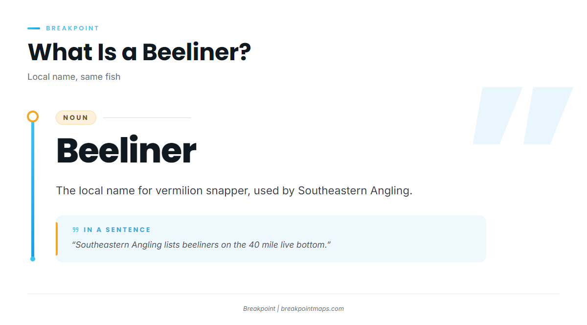
It is the local name for vermilion snapper, used by Southeastern Angling.
How far do boats run for vermilion snapper from Golden Isles?
The run starts with named reefs 7 to 18 nautical miles off Little Cumberland and Cumberland Islands. It continues to the 40 mile live bottom, then "go farther out" trips.
What is G Reef on the state list?
The state list shows it as HLHA, formerly G. Search the list under HLHA.
Which reef has the Golden Ray propeller?
SFC: 55 ft, 18 nautical miles east of Little Cumberland Island.
Which local charters list vermilion snapper?
Southeastern Angling (40 mile live bottom) and Captain Mark Noble of Georgia Fishing ("go farther out" trips).