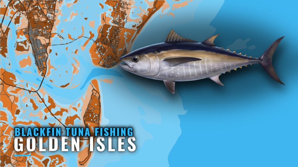
When blackfin are off the Golden Isles
Blackfin tuna fishing out of the Golden Isles is a Gulf Stream trip. Boats run from St. Simons or Jekyll to the western edge of the Gulf Stream, and the fish are where that edge is. Timing follows the position of the edge, so plan around the water rather than the calendar.
For range, size and temperature, read the blackfin tuna guide. For the seasonal picture along the coast, use the southeast Atlantic blackfin guide (see also the Atlantic Southeast region guide). This page covers the run, the named structure in order out, and how the fish are trolled.
The run from St. Simons and Jekyll
The run is an offshore trip from St. Simons or Jekyll to the western edge of the Gulf Stream. Entrances and port details are on the Golden Isles port page.
Named structure lies along the way, so the run doubles as a trolling route:
- Georgia artificial reefs close in
- The 40 mile live bottom farther out
- The Ledge, named on Gulf Stream trips
- The western edge of the Gulf Stream at the end
The state gives reef distances east of Little Cumberland Island and Cumberland Island, not from a St. Simons departure, so plot them from those reference points. Distances to the 40 mile live bottom and The Ledge come from operators, not from surveyed reef coordinates.
Grounds and structure on the way out
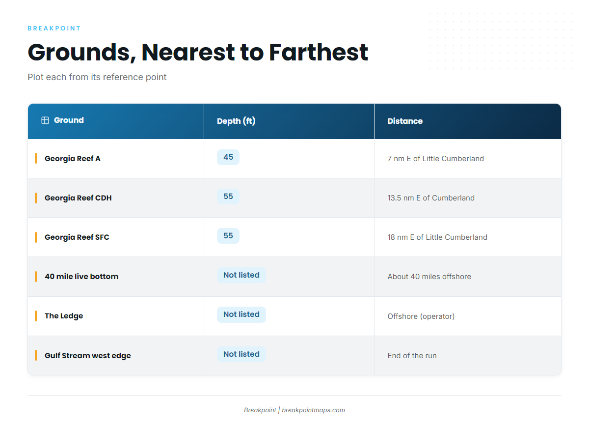
The grounds below run from nearest to farthest. Chart layers are not for navigation; plot reef positions from the Georgia DNR offshore reef list.
| Ground | Depth (ft) | Distance and reference point | Notes |
|---|---|---|---|
| Georgia Reef A | 45 | 7 nm east of Little Cumberland Island | State reef |
| Georgia Reef CDH (formerly C) | 55 | 13.5 nm east of Cumberland Island | Formerly listed as C |
| Georgia Reef SFC | 55 | 18 nm east of Little Cumberland Island | Holds the Golden Ray propeller and rudder section |
| 40 mile live bottom | Not listed | About 40 miles offshore (operator) | Named on operator Gulf Stream trips |
| The Ledge | Not listed | Offshore (operator) | Named on operator Gulf Stream trips |
| Western edge of the Gulf Stream | Not listed | End of the run | Destination |
Georgia artificial reefs
Reef A is the closest, at 45 ft. Reef CDH comes next at 55 ft and appears as C on older lists. Reef SFC, also at 55 ft, is the farthest of the three. Check the names on your plotter against the state list before you leave the dock.
The Golden Ray
The Golden Ray is a capsized vessel lying on its port side, partly removed. Its propeller and rudder section sits at Reef SFC, as described in the state’s Golden Ray propeller pieces release.
Live bottom and The Ledge
The 40 mile live bottom is about 40 miles offshore. The Ledge is offshore, with no distance given. Operators use both names on Gulf Stream trips, and the state has no coordinates for either.
How blackfin are fished here
The local method is trolling current rips, humps and edges. The named structure and the Stream edge give the trolling route its stops, so you work each one on the way out and again on the way back.
Who fishes for them out of this port
Southeastern Angling lists its Gulf Stream trips as no longer offered, which leaves the run to anglers on their own boats.
Operator names don’t always match the state list, so translate them before you plot:
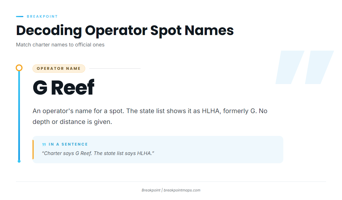
- G Reef: an operator’s name. The state list shows it as HLHA, formerly G.
- The Ledge: an operator name with no state equivalent given.
- 40 mile live bottom: an operator name with no state equivalent given.
For other tuna species and other ports, see the tuna fishing guides.
FAQ about blackfin out of the Golden Isles
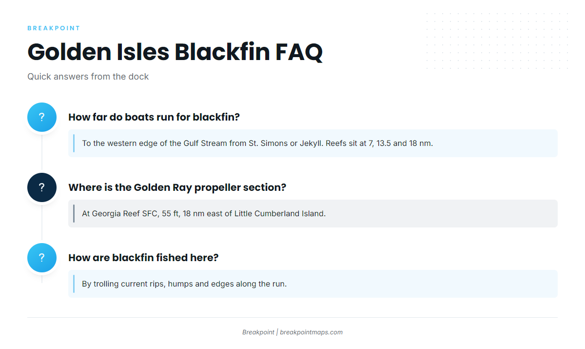
How far do boats run for blackfin out of the Golden Isles?
Blackfin tuna fishing out of the Golden Isles means a run from St. Simons or Jekyll to the western edge of the Gulf Stream. On the way you pass Georgia reefs at 7, 13.5 and 18 nautical miles and the 40 mile live bottom.
Where is the Golden Ray propeller section?
At Georgia Reef SFC, in 55 ft, 18 nautical miles east of Little Cumberland Island. The Golden Ray itself is a capsized vessel, partly removed.
What is G Reef?
G Reef is an operator’s name. The state list shows it as HLHA, formerly G. Use the state name when you plot it.
How are blackfin fished here?
By trolling current rips, humps and edges. The reefs, the live bottom, The Ledge and the Stream edge give the route its stops.
Do charters out of this port run to the Gulf Stream?
Southeastern Angling lists its Gulf Stream trips as no longer offered, so the trip is a run on your own boat.