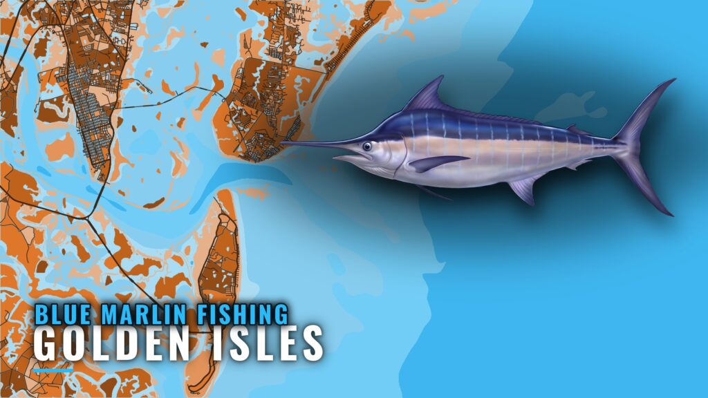
Blue marlin fishing out of Golden Isles
Blue marlin fishing out of Golden Isles is occasional. It starts with a long run past the nearshore reefs to the western edge of the Gulf Stream. The fish don’t arrive on a schedule and the odds are thin, so this page covers the route, the waypoints, and how to decide whether and where to go.
The departure ports are Brunswick, St. Simons and Jekyll, covered in our Golden Isles port guide. General season and species detail is in the blue marlin species guide, so this page stays with the port. Planning falls to you as the owner-operator. Billfish here are a bonus on a long offshore day, not something to expect daily.
How far boats run to the Gulf Stream
Boats run to the western edge of the Gulf Stream, according to Southeastern Angling. We give no single mileage because the edge moves. The wider picture of the Gulf Stream off the Southeast is in the Southeast blue marlin regional guide (see also the wider Atlantic Southeast guide).
Chart layers are not for navigation. Check wind, wave height and period as numbers against the official forecast before you commit to the run.
The run past the reefs
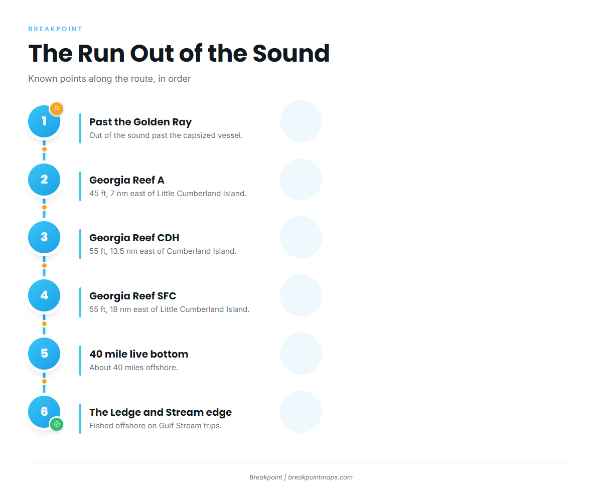
The route out follows a known order:
- Out of the sound, past the Golden Ray.
- Georgia Reef A, 7 nm out.
- Georgia Reef CDH, 13.5 nm out.
- Georgia Reef SFC, 18 nm out.
- The 40 mile live bottom, about 40 miles offshore.
- The Ledge and the Stream edge.
These reefs are known points along the route, not marlin grounds. Distances for A and SFC are measured from Little Cumberland Island; CDH is measured from Cumberland Island.
The 40 mile live bottom
Southeastern Angling places the live bottom about 40 miles offshore. It is a waypoint on the way to the Stream.
The Ledge
Per Southeastern Angling, The Ledge is fished offshore on Gulf Stream trips. Local boats point at it once they reach the edge.
Grounds and structure near Golden Isles
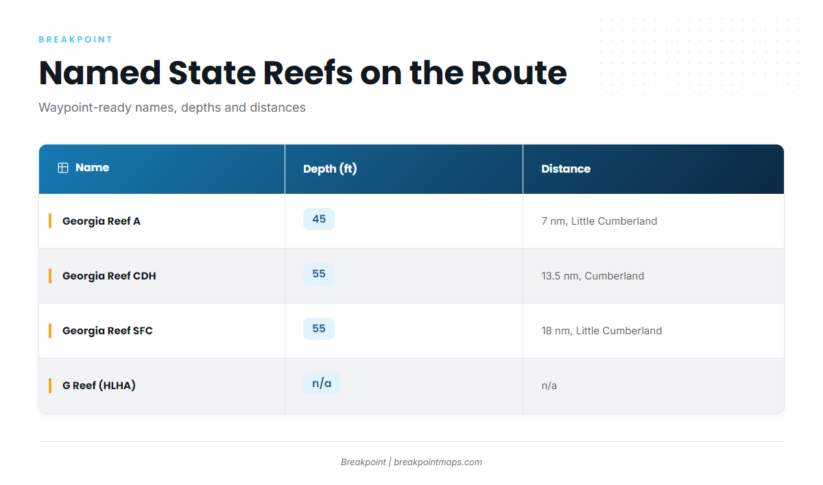
These are named state reefs and structure along the route out. Names on the Georgia DNR offshore reef list can differ from what operators call them, so check against it.
| Name | Depth (ft) | Distance and reference |
|---|---|---|
| Georgia Reef A | 45 | 7 nm east of Little Cumberland Island |
| Georgia Reef CDH (formerly C) | 55 | 13.5 nm east of Cumberland Island |
| Georgia Reef SFC | 55 | 18 nm east of Little Cumberland Island |
Georgia Reef A
Reef A sits in 45 ft, 7 nm east of Little Cumberland Island. It is the first known point on the run.
Georgia Reef CDH
CDH sits in 55 ft, 13.5 nm east of Cumberland Island. The state list shows it as CDH, formerly C.
Georgia Reef SFC
SFC sits in 55 ft, 18 nm east of Little Cumberland Island. The Golden Ray propeller reef deployment placed the Golden Ray’s propeller and rudder section on this reef.
G Reef and HLHA
Operators call it G Reef. The state list shows HLHA, formerly G.
The Golden Ray
The Golden Ray is a capsized vessel, partly removed, lying on its port side. Its propeller and rudder section is the piece now on Georgia Reef SFC.
How blue marlin are fished out of Golden Isles
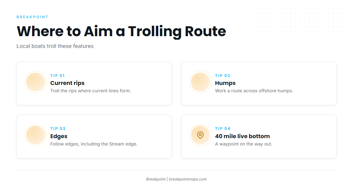
Local boats troll current rips, humps and edges. The method ties to the places above: The Ledge and the Stream edge on Gulf Stream trips, with the 40 mile live bottom as a waypoint on the way.
Aim your troll at three kinds of water:
- Current rips: lines where moving water stacks up, giving a clear edge to work along.
- Humps: raised bottom you can run across and around.
- Edges: breaks in the bottom or the water that give a route its shape.
Work one feature at a time and keep the route short enough to repeat.
Who fishes for blue marlin from this port
Southeastern Angling lists Gulf Stream trips as no longer offered. That leaves the fishery mostly to owner-operators who plan the run themselves. For guided help elsewhere, see our billfish fishing guides.
FAQ: blue marlin out of Golden Isles
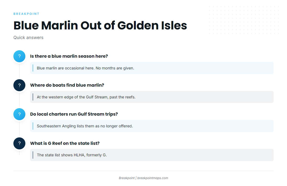
Is there a blue marlin season out of Golden Isles?
Blue marlin are occasional here. We give no months because the fishery doesn’t run on a fixed calendar. The general season picture is in the species information, not on this port page.
Where do Golden Isles boats find blue marlin?
Boats run to the western edge of the Gulf Stream. The route passes Georgia Reefs A, CDH and SFC. The 40 mile live bottom sits about 40 miles offshore, and The Ledge is fished on Gulf Stream trips.
Do local charters run Gulf Stream trips?
Southeastern Angling lists Gulf Stream trips as no longer offered. Most Gulf Stream trips from the port are run by owner-operators.
What is G Reef on the state list?
Operators call it G Reef, and the state list shows HLHA, formerly G. CDH was renamed the same way; it was formerly C.
Is the Golden Ray still in the sound?
It is a capsized vessel, partly removed, lying on its port side. Its propeller and rudder section sits on Georgia Reef SFC, 55 ft, 18 nm east of Little Cumberland Island.
Where are the billfish rules?
Billfish are federally managed. Check NOAA Fisheries and the Georgia DNR Coastal Resources Division before fishing. We state no figures here.