Wahoo fishing out of Golden Isles starts at the Gulf Stream edge
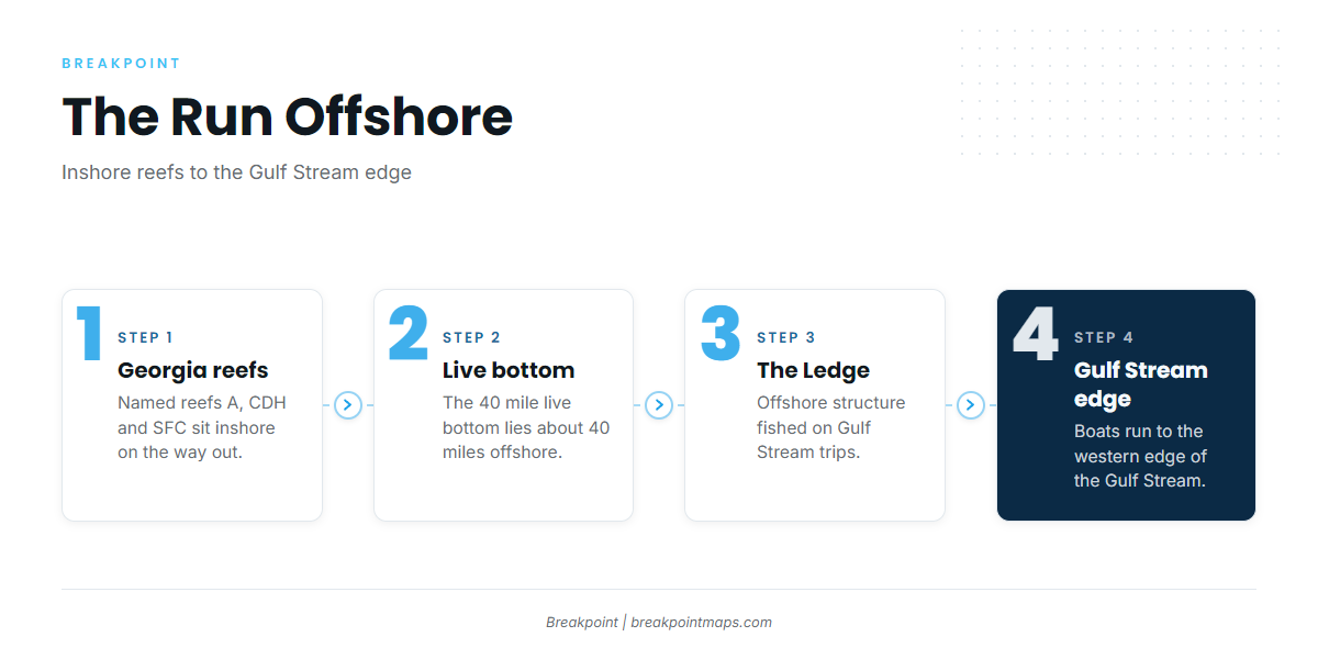
Wahoo fishing out of Golden Isles means running to the western edge of the Gulf Stream. Boats leave through the St. Simons Sound entrance, and launch, bar and port detail are on our Golden Isles port page. From there the run steps outward: the named Georgia reefs inshore, the 40 mile live bottom and The Ledge farther out, then the edge.
The Gulf Stream edge
Boats run to the western edge of the Gulf Stream, according to Southeastern Angling. Wahoo along this coast follow the same edge-and-structure logic as the rest of the Southeast, which is laid out in the regional pattern along the Southeast coast (see also the Atlantic Southeast region guide).
When the fish are around
Our wahoo species page covers when wahoo are around and is the place to start when timing the run.
Grounds and structure along the run
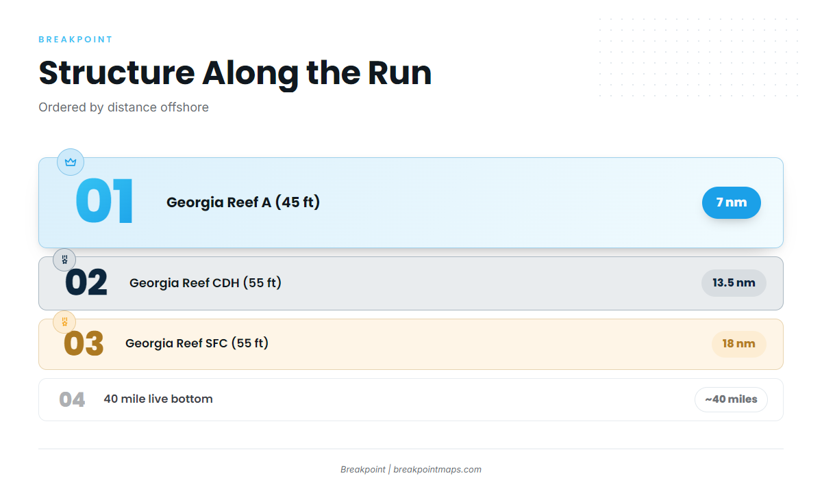
The named grounds and structure on the run are listed below from inshore to offshore.
| Name | Depth | Distance and position |
|---|---|---|
| Georgia Reef A | 45 ft | 7 nm east of Little Cumberland Island |
| Georgia Reef CDH (formerly C) | 55 ft | 13.5 nm east of Cumberland Island |
| Georgia Reef SFC (Golden Ray propeller and rudder section) | 55 ft | 18 nm east of Little Cumberland Island |
| 40 mile live bottom | Not given | About 40 miles offshore |
| The Ledge | Not given | Offshore, on Gulf Stream trips |
| G Reef (state list: HLHA, formerly G) | Not given | Not given |
Chart Contours shows the humps and edges around these reefs, and OBS SST shows where the edge sits. Chart layers are not for navigation.
The Georgia reefs
Georgia Reef A is the first step out, at 45 ft and 7 nm east of Little Cumberland Island. Georgia Reef CDH follows at 55 ft and 13.5 nm east of Cumberland Island. CDH was formerly C, so older notes and plotter files may carry the earlier name. The state keeps the listing at Georgia DNR offshore artificial reefs.
Golden Ray and Reef SFC
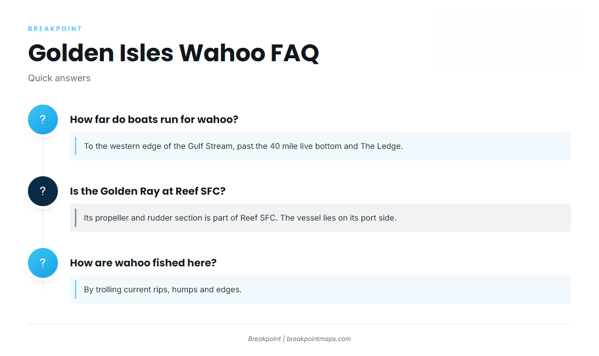
The Golden Ray and Reef SFC are related but not the same thing. The Golden Ray is a capsized vessel, partly removed, lying on its port side. Its propeller and rudder section is part of Georgia Reef SFC, at 55 ft and 18 nm east of Little Cumberland Island. DNR documents the Golden Ray propeller pieces placed on the reef.
40 mile live bottom and The Ledge
The 40 mile live bottom sits about 40 miles offshore, according to Southeastern Angling. The Ledge is offshore and fished on Gulf Stream trips. Both are the last named structure before the edge.
G Reef (HLHA)
G Reef is the operator’s name for this spot. The state list shows it as HLHA, formerly G.
How wahoo are fished here
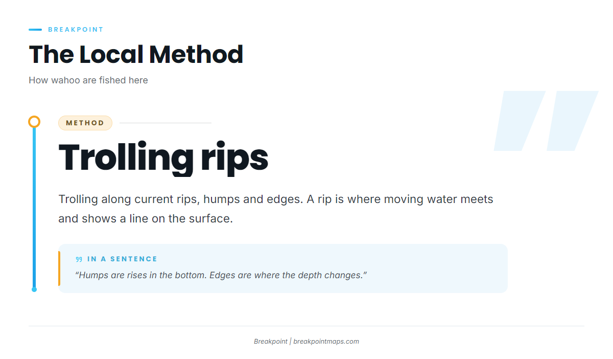
The local method is trolling current rips, humps and edges. The same water is trolled for other offshore gamefish.
Trolling current rips
A rip is where moving water meets and shows as a line on the surface. Boats troll along that line.
Humps and edges
Humps are rises in the bottom, and edges are where the depth changes. The reefs and live bottom above are the structure to read for both.
Who fishes for wahoo from this port
The run is made by private boats. Southeastern Angling is the source for the run to the Gulf Stream edge and for the 40 mile live bottom, and it lists its Gulf Stream trips as no longer offered.
FAQ: wahoo fishing out of Golden Isles
How far do boats run for wahoo out of Golden Isles?
Boats run to the western edge of the Gulf Stream. The named structure on the way reaches out to the 40 mile live bottom, about 40 miles offshore, and The Ledge.
Which named reefs lie along the run?
Georgia Reef A is 45 ft and 7 nm east of Little Cumberland Island. Georgia Reef CDH (formerly C) is 55 ft and 13.5 nm east of Cumberland Island. Georgia Reef SFC is 55 ft and 18 nm east of Little Cumberland Island.
Is the Golden Ray at Georgia Reef SFC?
The Golden Ray’s propeller and rudder section is part of Reef SFC. The Golden Ray itself is a capsized vessel, partly removed, lying on its port side.
How are wahoo fished here?
By trolling current rips, humps and edges.
Does Southeastern Angling still run Gulf Stream trips?
No. Southeastern Angling lists its Gulf Stream trips as no longer offered.