
About Gloucester
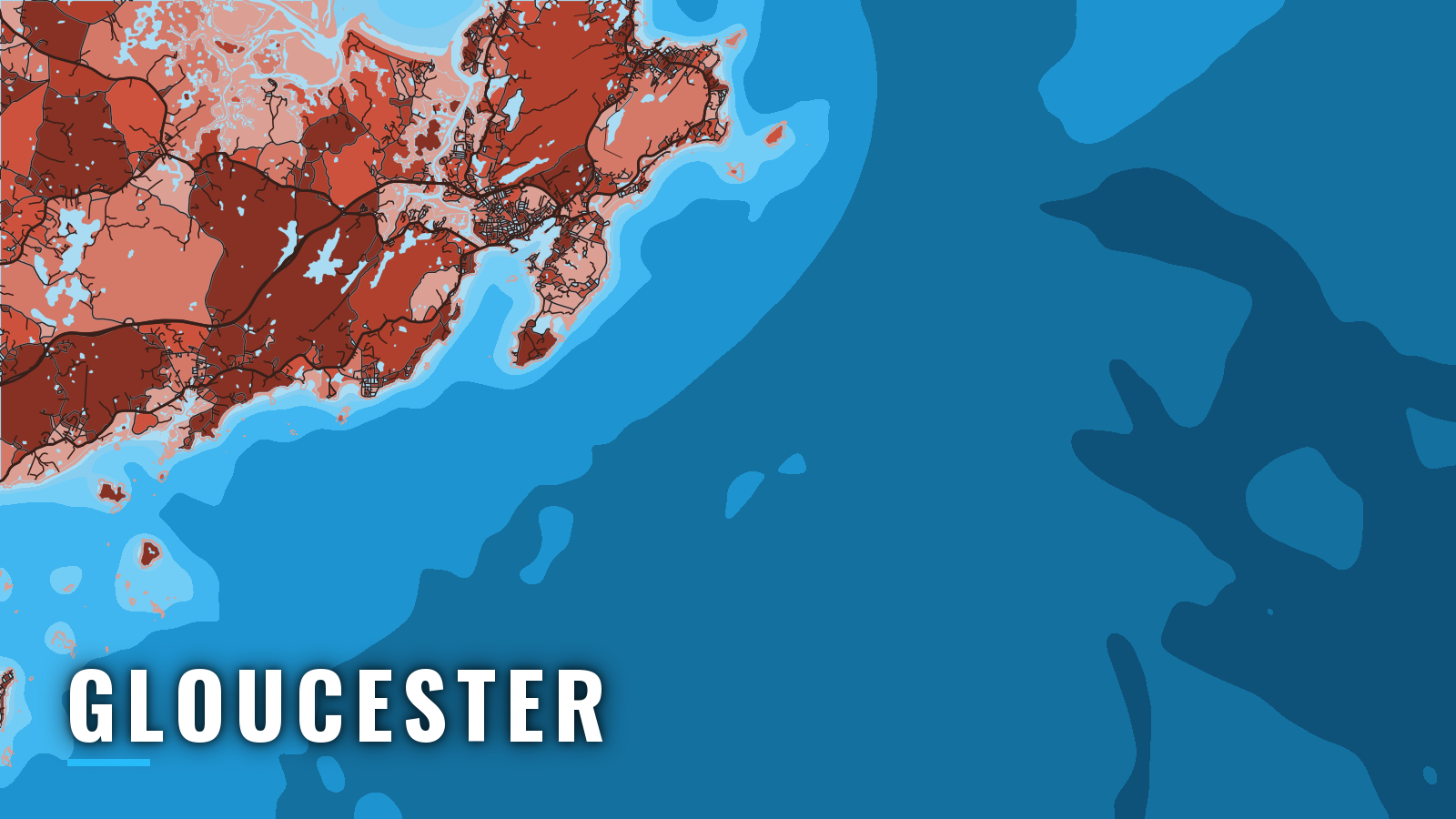
Gloucester Harbor opens off the south side of Cape Ann, the headland north of Boston, into the Gulf of Maine. It is one of the main offshore ports in Massachusetts. Boats from Gloucester work Stellwagen Bank, Jeffreys Ledge and Tillies Bank, and the harbor mouth gives a direct run to open water.
The fishing year follows the groundfish and the tuna. Haddock, cod and pollock fish from spring into fall. Bluefin tuna show through summer and autumn, and striped bass work the inshore water in the warm months. Every angler 16 and older needs a Massachusetts recreational saltwater permit, and bluefin also require a federal HMS permit. Check both agencies before you fish.
Access and navigation
Gloucester’s public ramps are on the inner harbor and the Annisquam River side of the city.
- Gloucester Harbormaster – city-run transient slips for visiting boats.
The outer harbor entrance
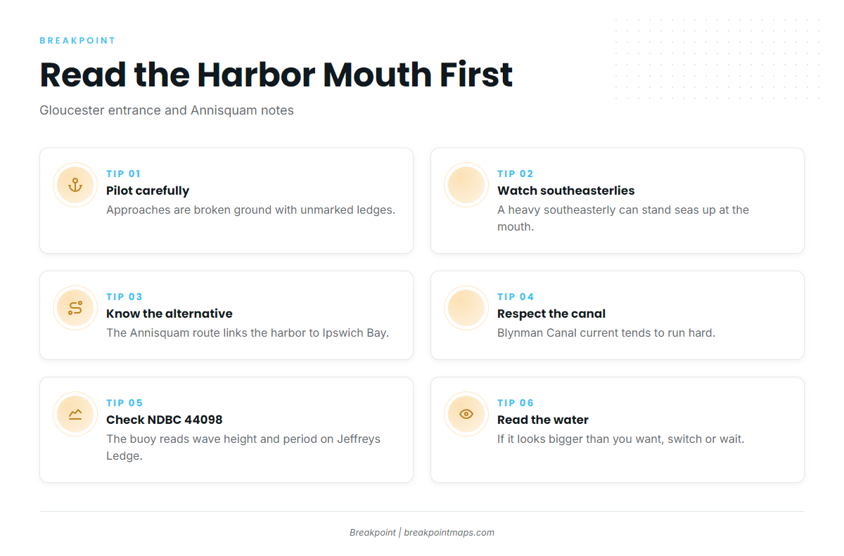
Eastern Point marks the east side of the entrance, and the Dog Bar Breakwater runs off it. The approaches are broken ground with many rocks and ledges, some of them unmarked, so pilot carefully, especially in thick weather. The NOAA U.S. Coast Pilot 1 covers them in detail. The Dog Bar Channel is narrow, running between the end of the bar and Round Rock Shoal. The Eastern Point light is visible a long way off, and a light marks the end of the breakwater.
The entrance tends to be straightforward in westerlies. A heavy southeasterly can stand seas up nearly across the mouth, and wind against tide can steepen the water off Eastern Point. Inside, seas tend to ease as the harbor narrows toward town.
Running northeast toward Jeffreys Ledge, Thacher Island and the Dry Salvages are both landmarks and hazards. Give the ledges off Cape Ann room on the chart.
The Annisquam River and Blynman Canal
The Blynman Canal and the Annisquam River form a thoroughfare from Gloucester Harbor north to Ipswich Bay, the water between Cape Ann and the Merrimack entrance at Newburyport. It is the alternative when the outer approach looks like more than you want. The current through the canal tends to run hard, and wind against it can steepen the water. Traffic tends to concentrate at the canal on busy weekends. The bar at the Ipswich Bay end can break in onshore wind and swell.
Read it before you commit
On arrival, look at the water and read the NWS Boston/Norton marine forecast. Check the NDBC 44098 Jeffreys Ledge buoy for wave height and period. The buoy sits on Jeffreys Ledge, not at the harbor mouth, and the forecast is only a forecast. If the water looks bigger than you want, switch between the outer harbor and the Annisquam route, or wait.
Fishing conditions
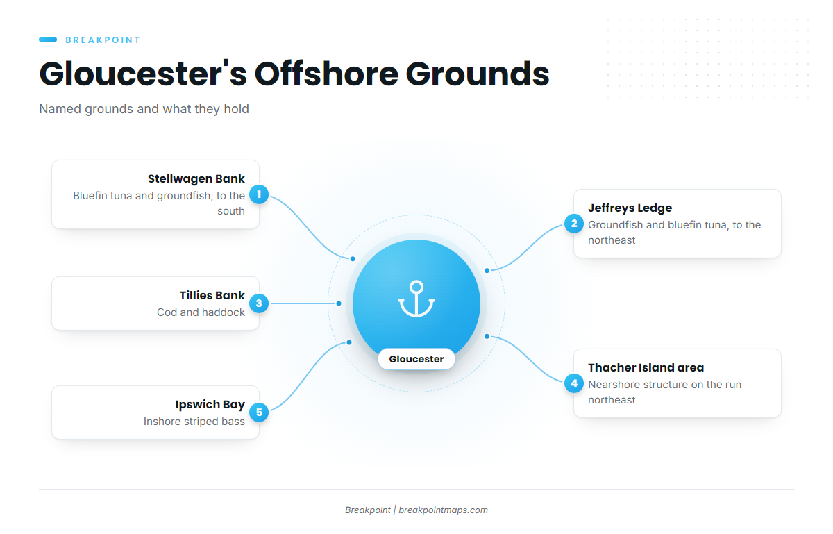
The named grounds, and what runs on them:
- Stellwagen Bank, to the south: bluefin tuna and groundfish.
- Jeffreys Ledge, to the northeast: groundfish and bluefin tuna.
- Tillies Bank: cod and haddock.
- Thacher Island and the Dry Salvages area: nearshore structure on the run northeast.
- Ipswich Bay, inshore: striped bass.
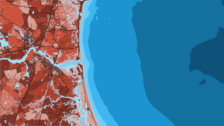
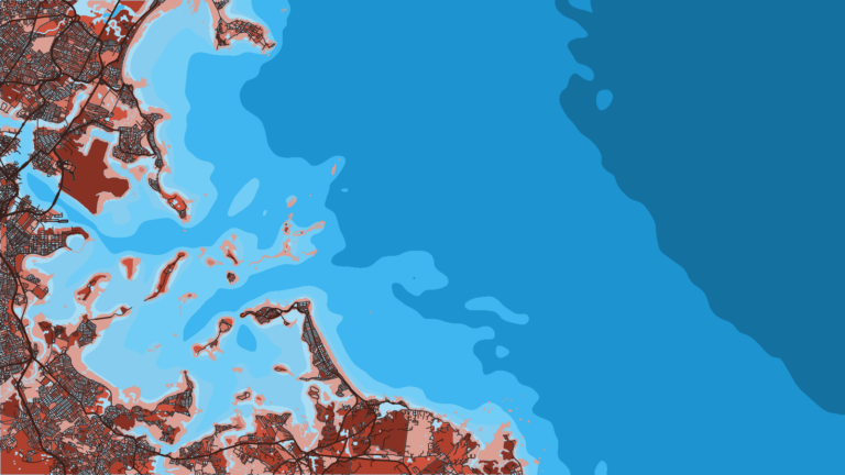
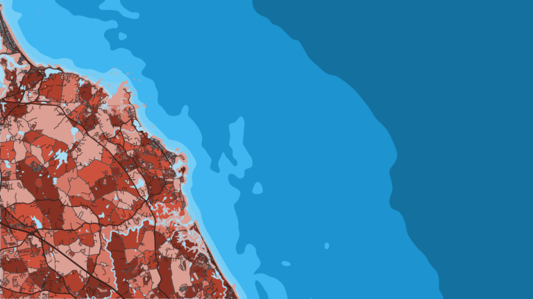
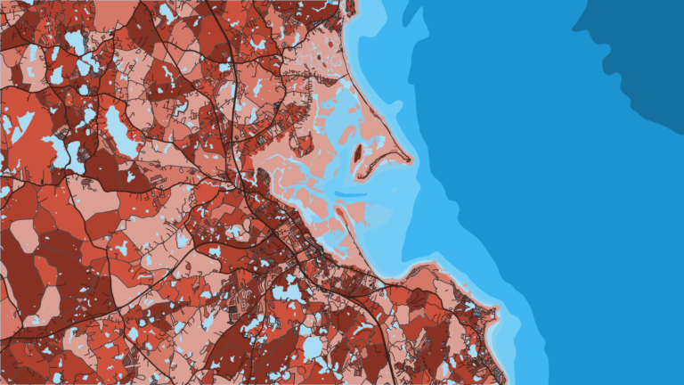
Read the grounds on the Chart Contours layer and check where the edges sit with OBS SST and Chlorophyll. Chart layers are not for navigation.
Winter
Offshore effort drops off. When weather allows, pollock and haddock may be worked in deep water. Cod are tightly restricted: the Winter Cod Conservation Closure inshore and the Winter Massachusetts Bay Spawning Protection Area both apply, and the federal cod spawning closure rules set the federal boundaries. Check MassDMF and NOAA Fisheries before you fish.
Spring
Haddock move onto the banks, including Stellwagen Bank and Jeffreys Ledge. The Spring Cod Conservation Closure and the spawning protection areas apply, so check the agencies for current rules. Striped bass arrive in the Annisquam River, the estuaries and Ipswich Bay. The striped bass guide covers the species.
Summer
Bluefin tuna concentrate on bait over Stellwagen Bank and Jeffreys Ledge. Haddock hold offshore, and stripers and bluefish work inshore. The bluefin tuna guide covers the species.
Autumn
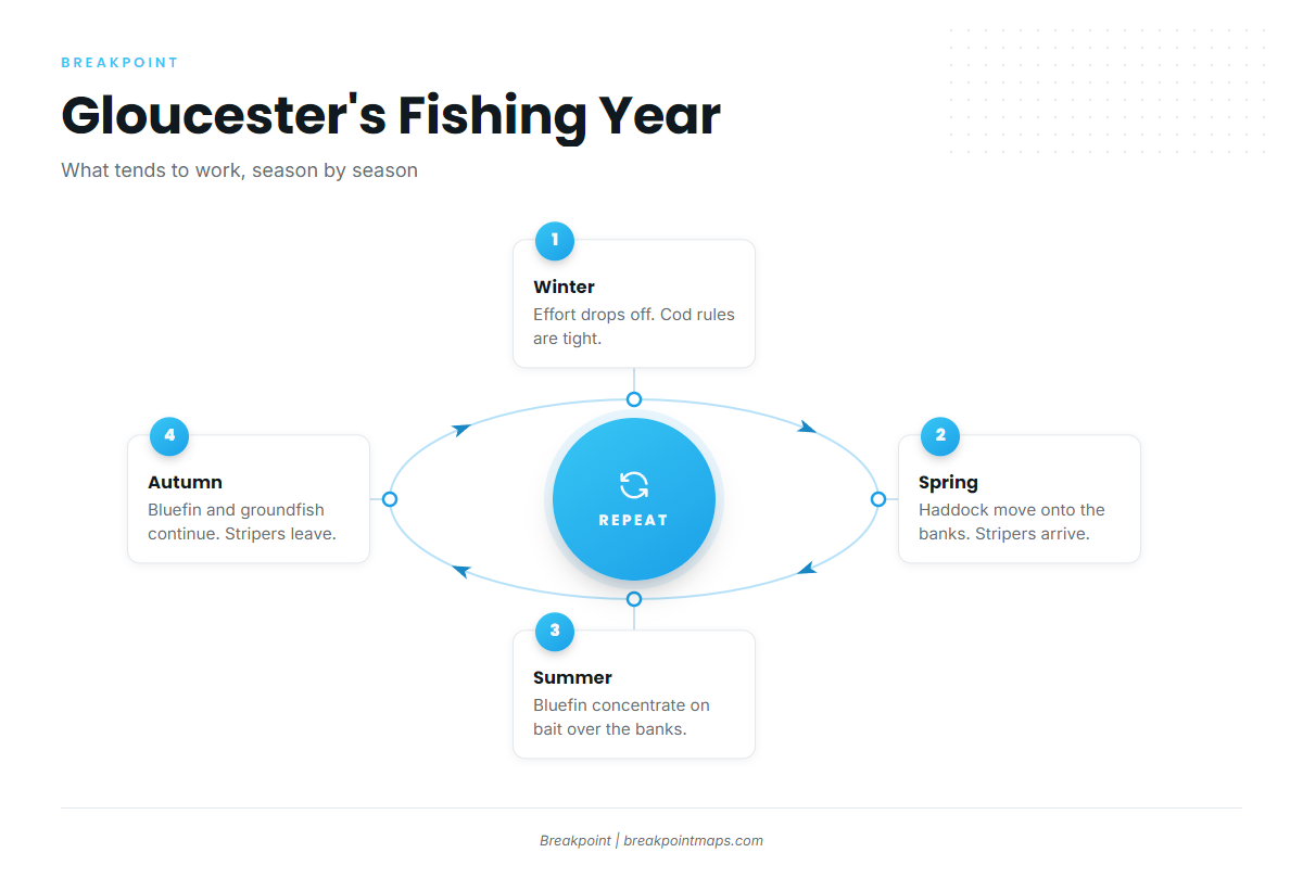
Bluefin continue on the banks, groundfish continue offshore, and stripers move out of the rivers and bays. Yellowfin tuna are a canyon fish farther south and east. The regional pattern is in our yellowfin tuna guide for the Northeast, and the species itself in the full yellowfin tuna guide. The fall pattern holds until the water cools and the groundfish take over again.