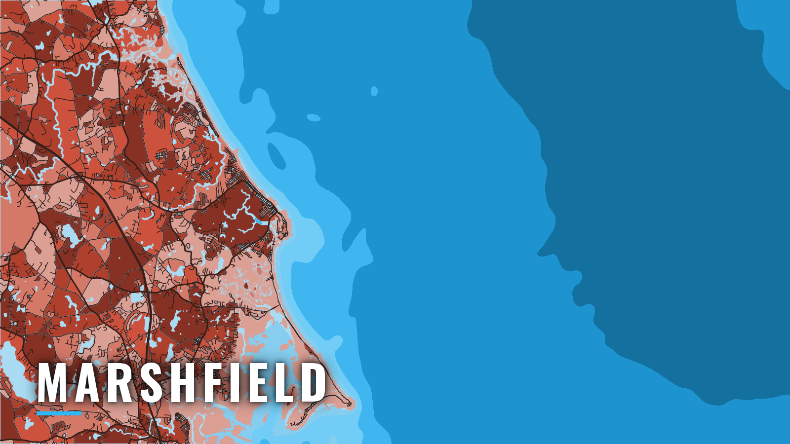

About Marshfield
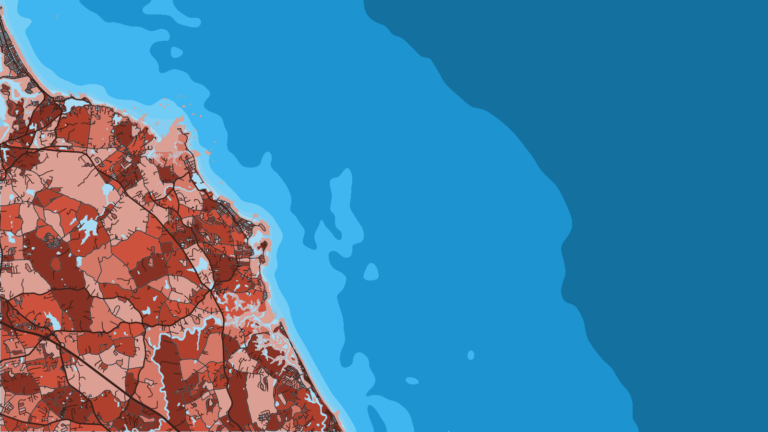
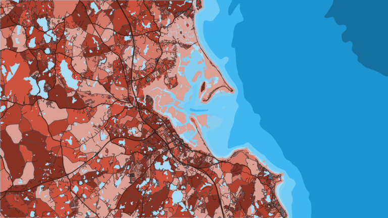
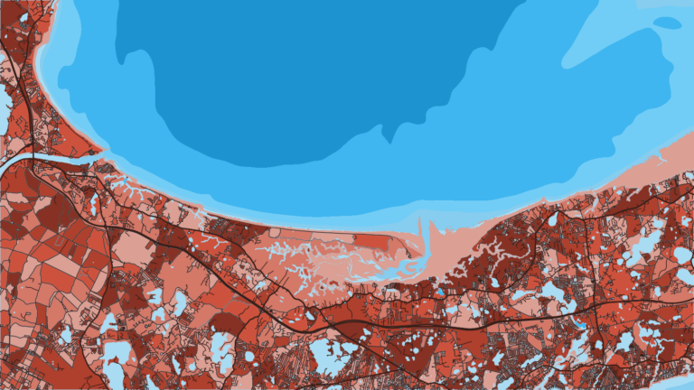
Marshfield’s offshore fleet runs out of Green Harbor, a small jettied inlet at the northwestern end of Cape Cod Bay, about 30 miles southeast of Boston. The village of Brant Rock lies just to the north. A town pier, a public ramp and a fuel-dock marina sit up the Green Harbor River. Green Harbor is 9 miles north of Plymouth Harbor.
The water fishes from spring through autumn. Anglers target groundfish (cod, haddock, pollock), striped bass, bluefish, giant and school bluefin tuna, and shark. The grounds run from Stellwagen Bank to the Cape side of Cape Cod Bay. Rules for every species are on our Massachusetts page and the Massachusetts Division of Marine Fisheries regulations. Tuna and sharks also require a federal permit from the NOAA HMS permit site, so check both sources before you fish.
Access and navigation
Marshfield boats launch and fuel at Green Harbor and on the South River.
- Town Pier ramp (Green Harbor) – town ramp on the Green Harbor River; launch permit from the Harbormaster.
- Green Harbor state boat ramp – state ramp on Green Harbor with handicap access.
- Ridge Road ramp (South River) – town ramp on the South River.
- South River ramp – town ramp on the South River.
- Safe Harbor Green Harbor – Green Harbor marina with fuel listed.
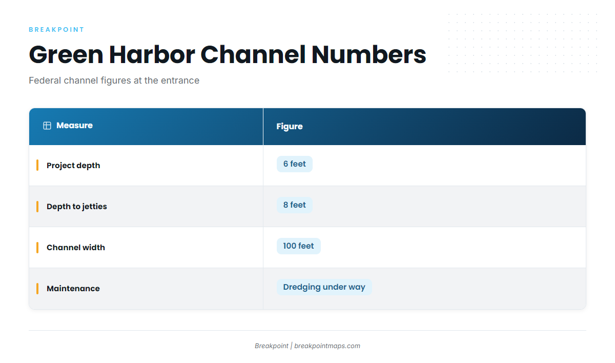
The Green Harbor federal channel has a project depth of 6 feet, 8 feet from deep water to the jetties, and is 100 feet wide. Maintenance dredging has been under way under the USACE Green Harbor project, and shoaling tends to return between surveys. The Marshfield Harbormaster posts USACE surveys and hazard-to-navigation notices.
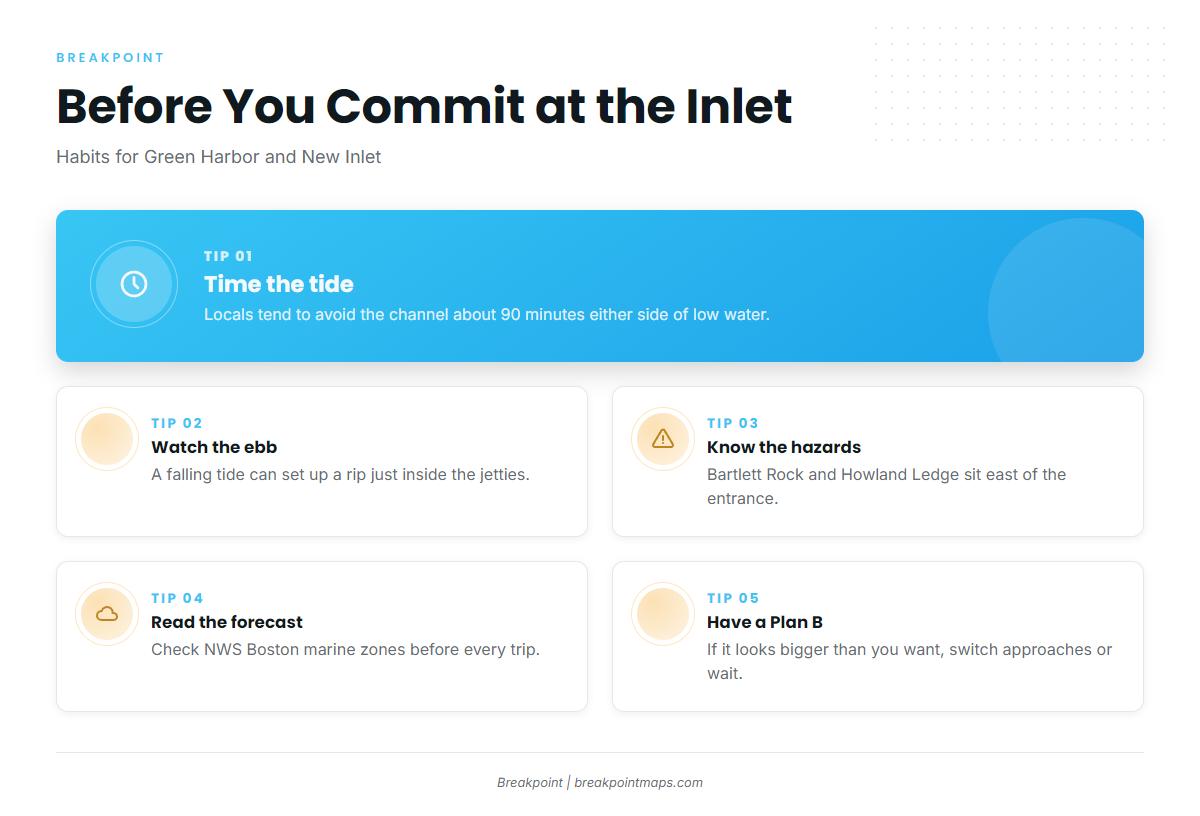
Timing the tide matters at the entrance. Local fishermen avoid the entrance channel for about 90 minutes either side of low water, and the outgoing current on a falling tide can set up a rip just inside the jetties.
Outside the jetties, the hazards are charted. Per NOAA Coast Pilot 1, Chapter 12, Bartlett Rock uncovers 2 feet and lies 0.6 mile east of the entrance. Buoyed Howland Ledge is covered 7 feet and lies 1.2 miles east. South of Brant Rock, foul ground extends nearly 1.5 miles offshore to Farnham Rock, which is covered 14 feet and has a lighted bell buoy just east of it.
If you launch on the South River, your way out is New Inlet, the mouth of the North and South Rivers, 2 miles south of Scituate Harbor. It has a boulder bar, and its buoys are shifted frequently. Outflow can run strong on the falling tide, and waves can break across the bar on the ebb with an easterly wind or in heavy seas. The Coast Pilot describes the channel as one entered only by small craft with local knowledge.
For conditions on the water, read the NWS Boston coastal marine forecasts for the Cape Cod Bay, Massachusetts Bay and Stellwagen Bank zones. The Harbormaster Weather & Tides page links to the NDBC buoy report. Chart layers are not for navigation, buoys at New Inlet get shifted, shoaling moves between surveys, and a forecast is only a forecast.
Look at the entrance and the official forecast before you commit. If conditions look bigger than you want, switch approaches or wait for the tide.
Fishing conditions
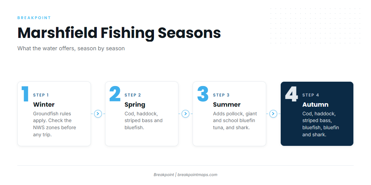
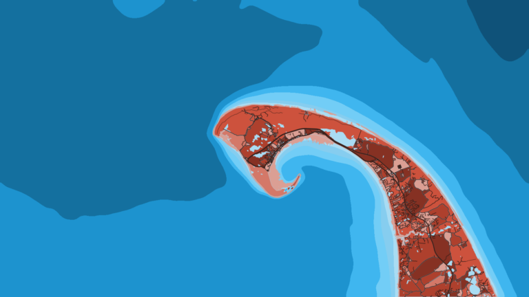
Stellwagen Bank is the primary offshore ground. Race Point lies off Provincetown, and Billingsgate Shoal and Long Point sit on the Cape side of Cape Cod Bay. For the wider region, see our Atlantic Northeast fishing guide.
Winter
State and federal groundfish closures and seasons determine what you can keep, so check the Division of Marine Fisheries before any trip. Winter wind is a forecast matter; read the NWS zones before you go.
Spring
Cod, haddock, striped bass and bluefish are the spring targets. The striped bass guide covers how the bass arrive and where to look. Cod and haddock rules change by season, so check the agency for current figures.
Summer
Summer carries the widest mix: striped bass, bluefish, haddock, cod and pollock, plus giant and school bluefin tuna and shark. The Atlantic bluefin tuna guide covers the tuna in detail. Sharks fall under the same federal HMS permit as tuna. Striped bass and bluefish stay in the mix through the warm months, and groundfish stay on the bottom. For yellowfin tuna, see the yellowfin guide and the Northeast yellowfin guide.
Autumn
Autumn brings cod, haddock, striped bass, bluefish, giant and school bluefin tuna, and shark. For the fall tuna, see bluefin in the Atlantic Northeast. The fall bass run is covered in the Northeast striped bass guide. Cod, haddock and shark stay in the mix.