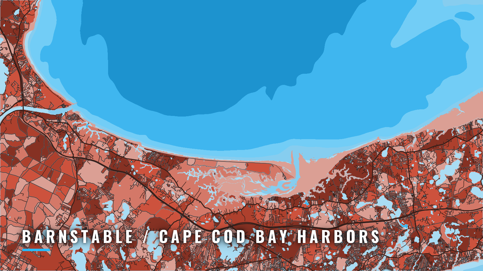

About Barnstable / Cape Cod Bay harbors
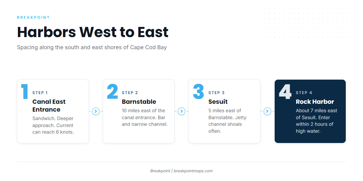
The Barnstable / Cape Cod Bay harbors are a group of small-boat harbors on the south and east shores of Cape Cod Bay: Barnstable Harbor, Sesuit Harbor in Dennis, Rock Harbor in Orleans and the Cape Cod Canal east entrance at Sandwich. According to the U.S. Coast Pilot 1, Barnstable is 10 miles east of the canal entrance, Sesuit is 5 miles east of Barnstable, and Rock Harbor is about 7 miles east of Sesuit. Together they make up one of several Massachusetts ports that open onto Cape Cod Bay.
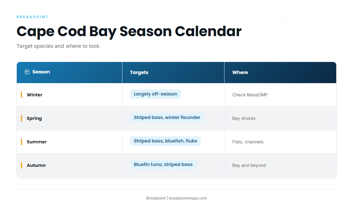
The season generally runs spring through autumn, following the wider Atlantic Northeast season. Striped bass are the main inshore target, bluefin tuna draw boats in autumn, and winter flounder are a spring fish. Below: where to launch, how the bar and approaches behave, and what the grounds hold by season.
Access and navigation
Public ramps and marinas across the Barnstable harbors group:
- Blish Point State Landing (Barnstable Harbor) – state-run, single ramp with a long float.
- Scudder Lane town landing (Barnstable Harbor) – town landing on the shallow western harbor, usable only in the upper stages of the tide.
- Sesuit Harbor ramps, east and west sides (Dennis) – Town of Dennis ramps on both sides of the harbor.
- Rock Harbor launching ramp (Orleans) – south side near the jetty, tide-limited.
- Eastham town marina ramp – on Rock Harbor Creek, tide-limited.
- Sandwich Marina – East Boat Basin at the canal’s east end, public ramp, fuel listed.
- Northside Marina – Sesuit Harbor, fuel listed.
- Millway Marina – Barnstable Harbor, fuel listed.
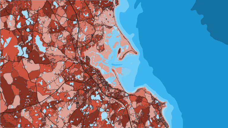
A heavy sea tends to build on the Barnstable Harbor bar in northerly winds. The entrance current averages 1.3 knots at strength, with the flood setting southward and the ebb northward. The channel is narrow and bordered by flats, so an outgoing tide against a strong north to northeast wind can stand up the water off Sandy Neck. Many local skippers avoid the last hour of the ebb into the first hour of the flood, a pattern described for the Barnstable Harbor entrance channel.
The bar channel and the channel to Maraspin Creek change over time. The south side of the harbor is foul with covered rocks and ledges, and most are unmarked. Carry current NOAA charts 13246, 13250 and 13251 and read local notices, but treat the chart as a guide rather than an exact picture of the bottom. Breakpoint chart layers are not for navigation.
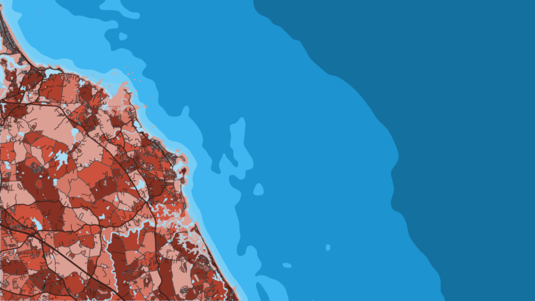
Sesuit Harbor is 5 miles east and is the usual alternative approach. Between Barnstable and Wellfleet, the creeks are dry at low water except Sesuit. The channel between the Sesuit jetties shoals frequently, so look at it before you commit.
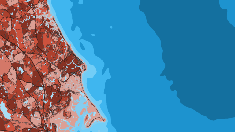
Rock Harbor is usually entered within 2 hours either side of high water. The approach from about 0.7 mile offshore has been reported bare at low water. The channel is marked by private, seasonal bush stakes with a private 100 degree lighted range. Stakes can move or be absent, so confirm what is there before relying on them.
The Cape Cod Canal east entrance at Sandwich is the deeper approach and doesn’t depend on the tide the way the creek harbors do. Current in the canal can reach 6 knots, and the Cape Cod Canal boating guide asks radio-equipped vessels to monitor VHF channel 13 while transiting.
On arrival, look at the water and check the NWS Cape Cod Bay forecast (ANZ231) for wind and wave numbers. If conditions look bigger than you want, switch approaches.
Fishing conditions
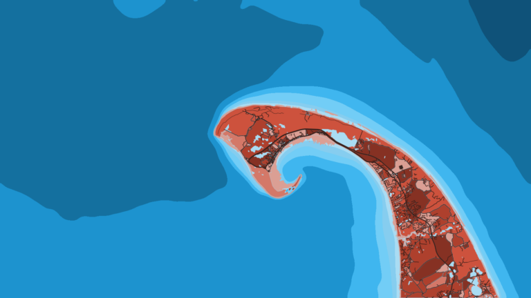
Billingsgate Shoal extends about 5.5 miles west of Billingsgate Island, which covers at high water. Numerous sunken wrecks lie south and west of the shoal. In northerly gales, vessels with good ground tackle have anchored on the lee side in 12 to 42 feet, where the shoal breaks the sea. Boats leaving the Barnstable harbors often use it as a landmark and refuge as well as a fishing mark.
The Brewster flats are shallow and tide-driven, and they tend to fish best around the stage of the tide that covers them. The southwest reach of Stellwagen Bank is the offshore option. Mackerel are often found out front of Barnstable Harbor, which can help with live bait for striped bass.
Yellowfin and bigeye are offshore canyon fish and don’t hold in Cape Cod Bay. Start with the yellowfin tuna guide, yellowfin in the Atlantic Northeast, the bigeye tuna guide and bigeye in the Atlantic Northeast.
Before running to Billingsgate or Stellwagen, check the Chart Contours and OBS SST layers to decide where to look first. Rules change by species and season, so read the MassDMF saltwater regulations before fishing.
Winter
The bay is largely off-season for trailer boats. Check MassDMF for the cod conservation closures and the Gulf of Maine haddock season before you plan anything.
Spring
Striped bass arrive with the striped bass migration. Winter flounder can be targeted as well. Check MassDMF for the rules on both.
Summer
Striped bass work the flats and channels. Follow the rising tide in toward the Sandy Neck marsh shore, then fish the channel as it drops. MassDMF sets a slot for striped bass, so check the agency page before you keep a fish.
Bluefish, black sea bass, scup and fluke can each be targeted. Check MassDMF for size and season on every one.
Autumn
Bluefin show up in the bay, and the bluefin in the Atlantic Northeast guide covers the pattern. NOAA’s Highly Migratory Species office manages bluefin, and an HMS permit is required, so confirm the current rules with that office before you fish. Striped bass tend to leave the bay as the water cools.