
About Scituate
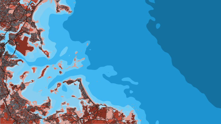
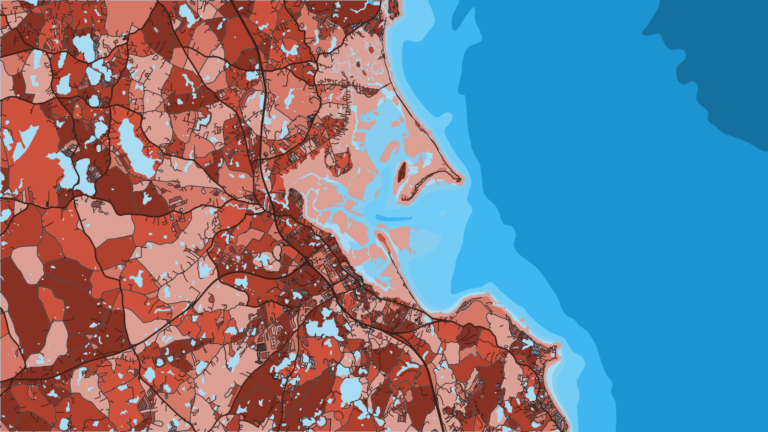
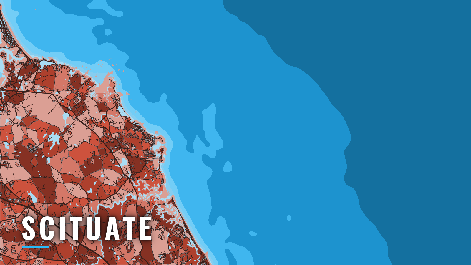
Scituate Harbor is a South Shore harbor in Massachusetts. It opens onto Massachusetts Bay through a dredged channel between two breakwaters, and the entrance faces east. Local boats fish Massachusetts Bay and the Gulf of Maine, Stellwagen Bank and Cape Cod Bay from Scituate.
Groundfish lead the spring, and striped bass arrive with the herring. Bluefin tuna, sharks and bluefish carry the warm months, and bluefin and cod run into autumn, from inshore ledges to offshore banks.
Every angler 16 and older on a private boat needs a Massachusetts recreational saltwater permit, and tuna fishing also requires a federal HMS permit. Check the MassDMF recreational saltwater regulations page before you fish.
Access and navigation
Scituate has two public ramps and two marinas, and both marinas list fuel.
Ramps and marinas
- Jericho Road State Boat Ramp – state ramp (Tom Chessia), about 6 ft at low tide, 15-minute courtesy dock, busy on summer weekends.
- Cole Parkway Boat Ramp – town ramp (Bill Stetson) in the inner harbor.
- Scituate Harbor Marina – slips, fuel listed.
- Mill Wharf Marina – slips, fuel listed.
Entrance behavior
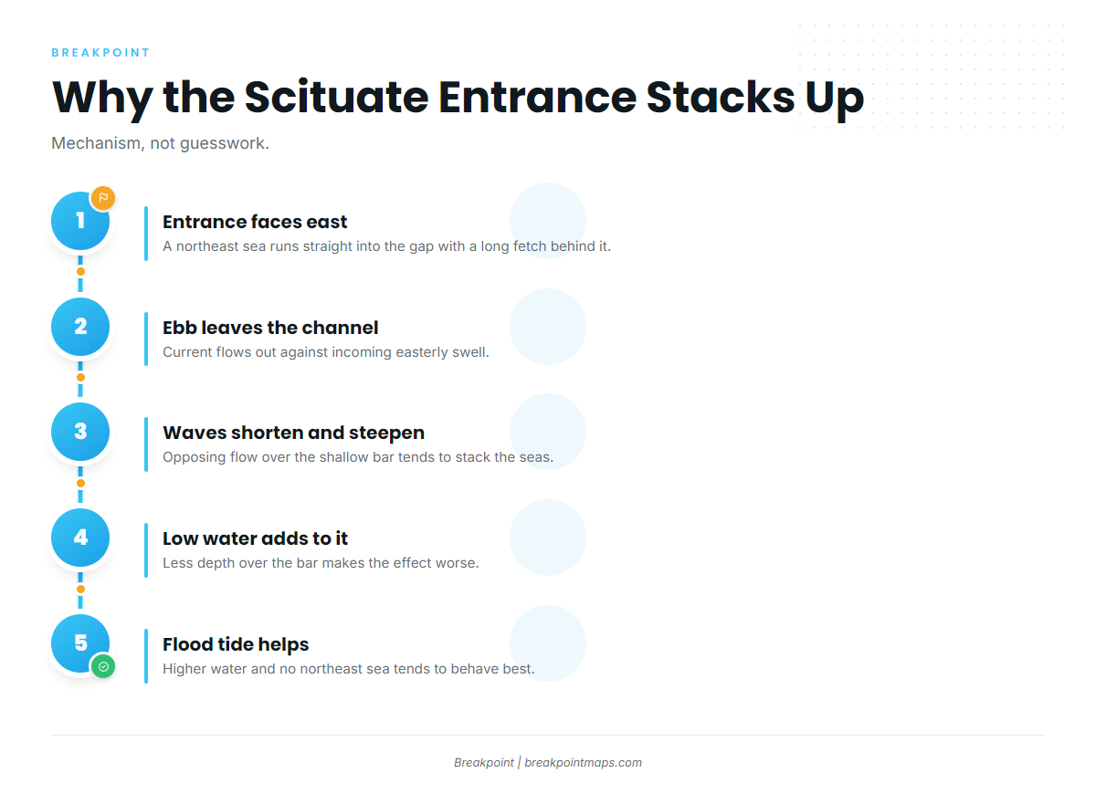
According to NOAA Coast Pilot 1, Chapter 12, the bar at the entrance can break entirely across the channel at low tide and in heavy weather. Northeast weather is the least favorable direction. The dredged channel runs westward between the two breakwaters, and depths of 3 to 8 ft are reported through the harbor and anchorage.
Because the entrance faces east, a northeast sea runs straight into the gap with a long fetch behind it. Ebb current leaving the channel tends to run against incoming easterly swell, which can shorten and steepen the waves over the shallow bar. Low water removes depth over the bar and can make this worse. The entrance is usually best on a flood tide with higher water and no northeast sea running.
Approaches
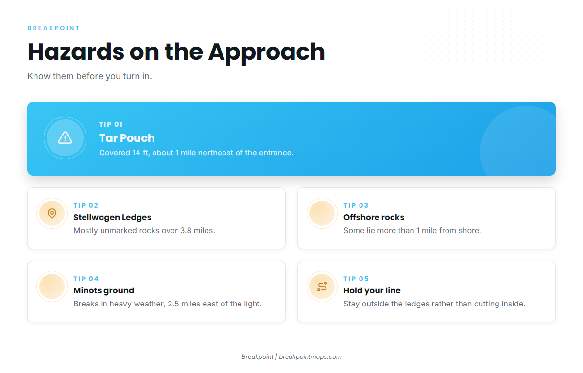
Tar Pouch is covered 14 ft and sits about 1 mile northeast of the entrance, on the direct line out toward Stellwagen. In a big swell, a shoal spot like this can make the sea heap up or break when the open water around it does not.
The Stellwagen Ledges are mostly unmarked rocks, awash and covered. They run 3.8 miles south-southeastward from Davis Ledge to Tar Pouch, and some lie more than 1 mile from shore.
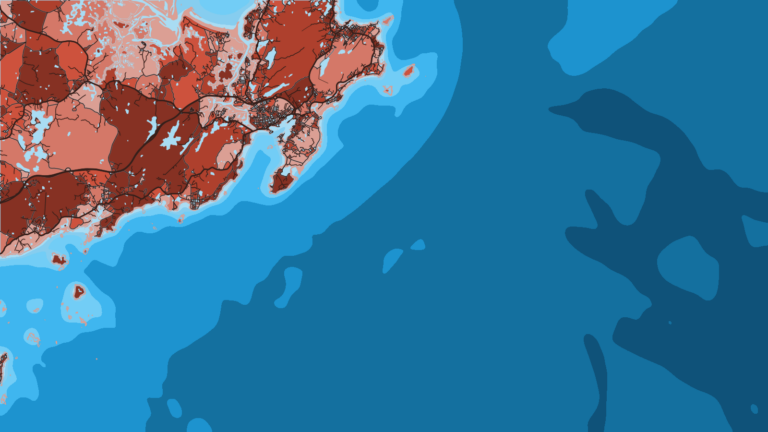
Boats arriving from the north pass the broken ground off Minots Ledge Light, off Cohasset and south of Boston Harbor, before turning into Scituate. That ground extends more than 1 mile northeast and 2.5 miles east of the light, and the sea breaks there in heavy weather.
Alternative approach
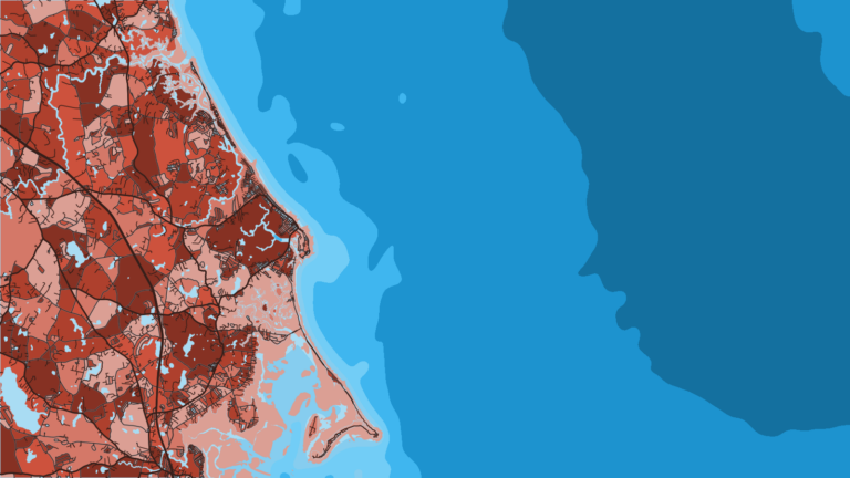
Scituate Harbor has no true second entrance. New Inlet lies 2 miles south, toward Marshfield, and leads to the North and South Rivers, but it is not a fallback into Scituate. Its channel buoys are frequently shifted, its bar is boulders, and a strong current flows out on the falling tide. Waves break across the bar on an ebb with an easterly wind or in heavy seas. The same caution applies at Fourth Cliff and the North River mouth, an inshore striper area where the bar and current can build quickly.
What you can adjust is timing and line. Come in on the flood, at higher water, and stay outside the Stellwagen Ledges and the Minots broken ground rather than cutting inside them.
Read wave height and period at NDBC buoy 44013, and check the NWS Boston marine zone forecasts for ANZ251 Massachusetts Bay, ANZ250 Stellwagen Bank and ANZ231 Cape Cod Bay. On arrival, look at the water at the breakwaters and read the official forecast. If conditions look bigger than you want, change your timing, change your line, or wait.
Fishing conditions
These are the named grounds, in rough order of distance from the harbor:
- Minots Ledge: inshore ledge water for striped bass, on the northern approach.
- Fourth Cliff and the North River mouth: an inshore striper line. See the New Inlet caution above.
- Stellwagen Bank: the main offshore bank for bluefin and groundfish, including the Southwest Corner.
- Wildcat Knoll: a knoll on the way to the farther banks.
- Jeffreys Ledge and Platts Bank / Three Dory Ledge: farther banks to the north and offshore.
- Race Point: at the tip of Cape Cod, named as a striper area.
Before the run, check Breakpoint’s OBS SST and Chlorophyll layers to see where the bank edges and temperature breaks sit. Cloud can block a satellite pass, and the chart layers are not for navigation.
Winter
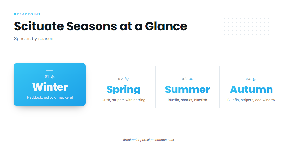
Winter is thin. Haddock, pollock and mackerel are the realistic targets. Hook-and-line fishing is unlawful inside the state Winter Cod Conservation Closure, and the federal Winter Massachusetts Bay Spawning Protection Area also applies. Check the MassDMF page for areas and maps.
Spring
Haddock, pollock and cusk lead the season, and porbeagle sharks show up as well. Striped bass arrive with the herring run. The state Spring Cod Conservation Closure applies, so check the MassDMF page. For stripers, use circle hooks with natural bait and no gaff, and check MassDMF for size and bag limits.
Summer
Summer is the season for bluefin tuna on Stellwagen Bank. Stripers, bluefish, haddock, and blue, thresher and mako sharks fill out the rest. Makos are prohibited in state waters, and state and federal shark rules differ, so check the MassDMF rules before you fish.
Warm-water tunas such as yellowfin tuna are a canyon and offshore-edge fish in the Northeast. See the Northeast yellowfin page.
Autumn
Bluefin continue offshore, stripers hold until the water cools and then move off, and sharks stay around. Cod opens in a limited autumn window in Western Gulf of Maine state waters, so check the MassDMF page for current dates and limits. As the water cools, the bite shifts toward the groundfish.