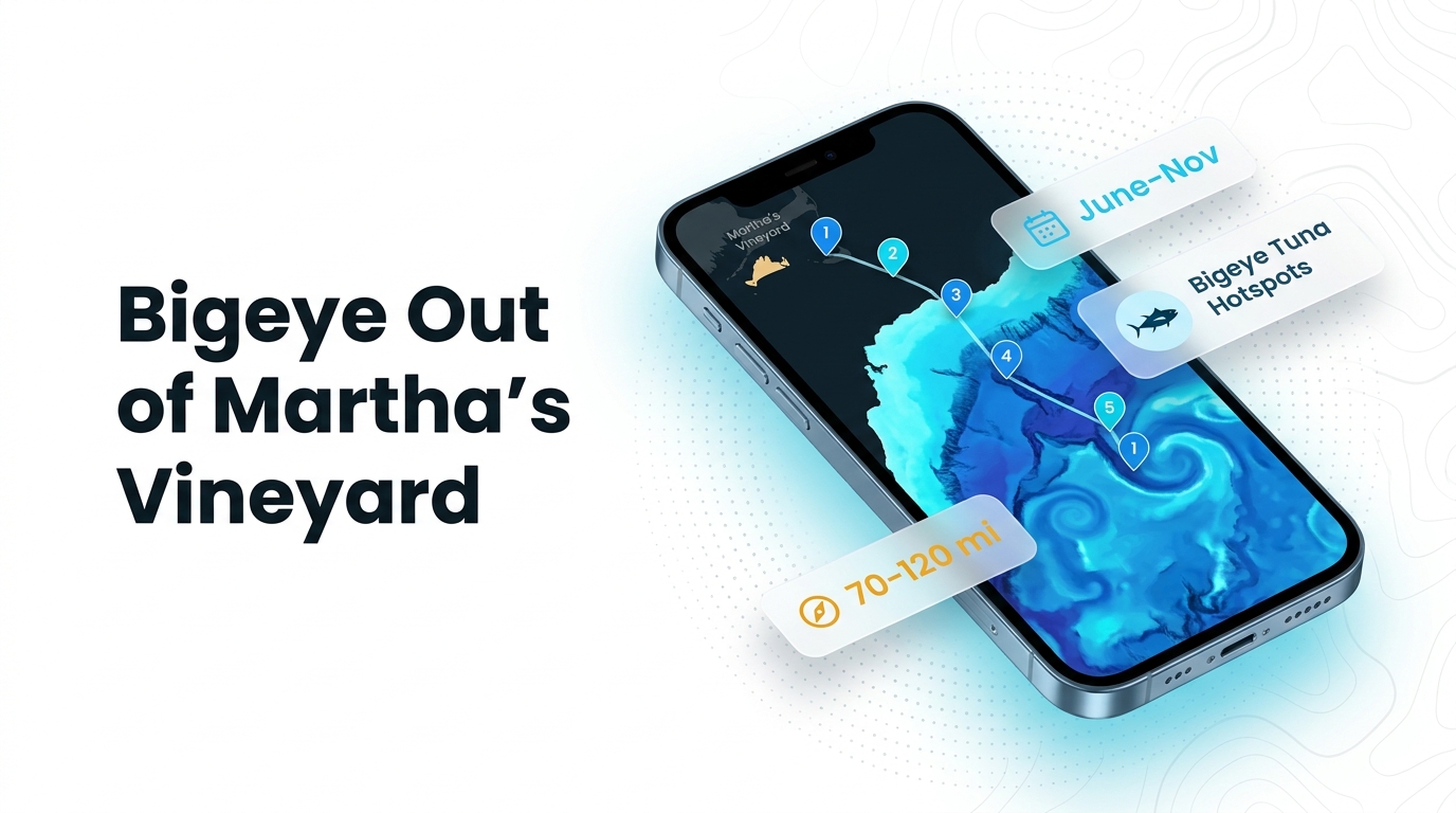
Bigeye tuna fishing out of Martha’s Vineyard runs June through November, with fish in the offshore canyons and Gulf Stream eddies 70 to 120 miles out. Trips run overnight, trolling by day and chunking or chumming by night. The sections below cover when to go, how far, and what you pass on the way.
When bigeye are around the Vineyard
Bigeye tuna are fished from Martha’s Vineyard from June through November.
Season window
- Opens: June
- Closes: November
The window reflects when the run to the canyons is worth planning. It says nothing about fish close to the beach. For biology and the wider seasonal pattern, see the bigeye tuna species guide.
Where boats run
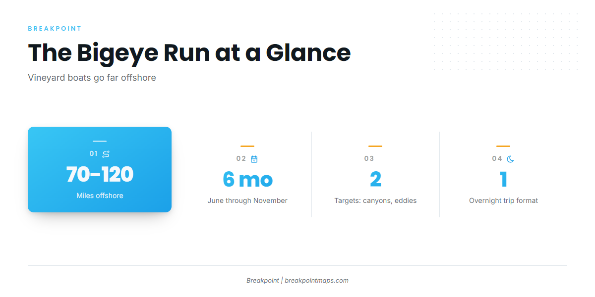
Vineyard boats run 70 to 120 miles to the offshore canyons and to eddies off the Gulf Stream. Plan your boat and fuel around that distance. For the wider canyon and eddy picture, see bigeye in the Atlantic Northeast (see also the Atlantic Northeast offshore fishing guide).
| Target | Distance from the island | Trip format |
|---|---|---|
| Offshore canyons | 70 to 120 miles | Overnight |
| Gulf Stream eddies | 70 to 120 miles | Overnight |
Offshore canyons
The canyons are one of two destination types for boats from this port. The run takes you past the sounds and shoals to the edge of the shelf, and the whole trip is built around it.
Gulf Stream eddies
Eddies off the Gulf Stream are the second target. Locating an eddy or a Gulf Stream edge comes down to sea surface temperature. The OBS SST and Chlorophyll layers in Breakpoint show those breaks and color changes. Chart layers are not for navigation.
Reading conditions at 44020
The nearest NOAA buoy is NOAA NDBC station 44020, Nantucket Sound, at 41.497 N, 70.283 W. It reports wind, wave height and period near the island, not conditions on grounds 70 to 120 miles out.
For departure water, read the Nantucket Sound marine forecast. For the canyons, check the official National Weather Service offshore forecast before you leave the dock. Use wind speed, wave height and wave period at the buoy, then the forecast for the run.
Grounds and structure near the island
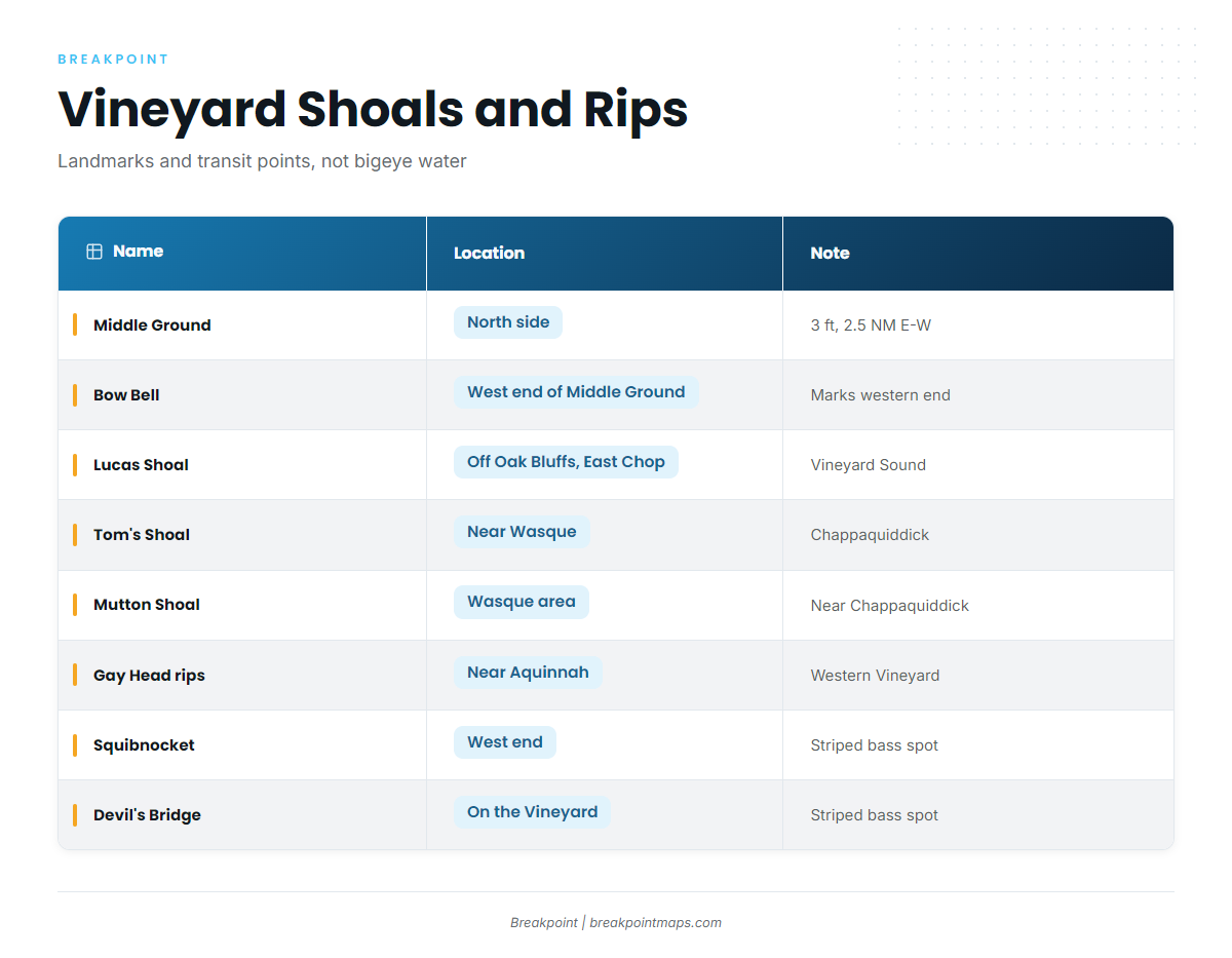
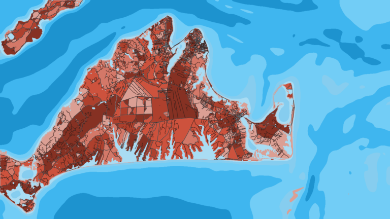
The shoals and rips around Martha’s Vineyard are landmarks and transit points on the way offshore, not bigeye water. The table lists the named places you pass or work around when leaving the island.
| Name | Location | Note |
|---|---|---|
| Middle Ground | North side of the Vineyard | 3 ft, about 2.5 NM east to west |
| Bow Bell | Western end of Middle Ground | |
| Lucas Shoal | Vineyard Sound, off Oak Bluffs and East Chop | |
| Tom’s Shoal | Near Wasque, Chappaquiddick | |
| Mutton Shoal | Wasque area | |
| Rips off Gay Head Cliffs | Western Vineyard near Aquinnah | |
| Squibnocket | West end of the Vineyard | Named striped bass spot |
| Devil’s Bridge | On the Vineyard | Named striped bass spot |
For navigation on Vineyard Sound, use the U.S. Coast Pilot chapter. The sections below give location and role only.
Middle Ground and Bow Bell
Middle Ground sits on the north side of the Vineyard. It shows 3 ft and runs about 2.5 NM long, east to west. Bow Bell marks its western end.
Lucas Shoal
Lucas Shoal is in Vineyard Sound, off Oak Bluffs and East Chop.
Tom’s and Mutton Shoals
Tom’s Shoal lies near Wasque, Chappaquiddick. Mutton Shoal is in the Wasque area.
Gay Head rips
The rips off Gay Head Cliffs are on the western Vineyard, near Aquinnah.
Squibnocket and Devil’s Bridge
Squibnocket, at the west end of the Vineyard, and Devil’s Bridge are named striped bass spots. They are local context for the island’s fishing and are not tuna ground.
How bigeye are fished from this port
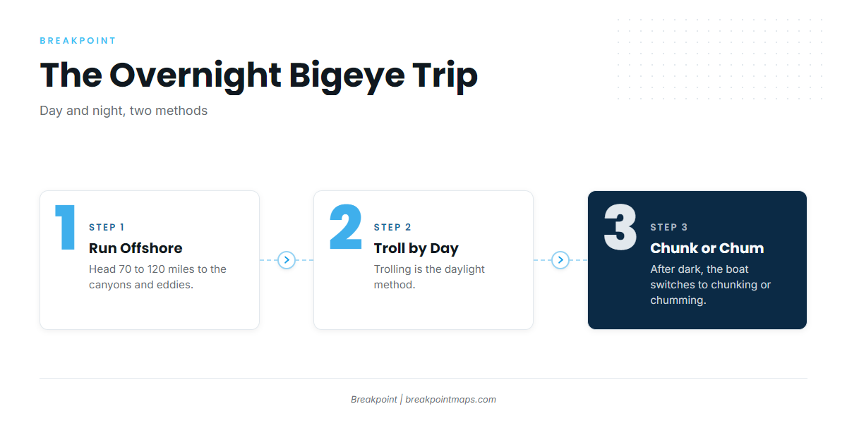
Bigeye trips from the Vineyard run overnight: trolling by day, then chunking or chumming by night. Done Deal runs overnight canyon trips on this pattern, 70 to 120 miles out. For tactics in more depth, see our tuna fishing guides.
Daytime trolling
Trolling is the daylight method. You work it on the way out and through the day over the canyon or eddy you are fishing.
Night chunking and chumming
After dark, the boat switches to chunking or chumming. The overnight format is what justifies the 70 to 120 mile run, since it lets you fish both the light and the dark once you arrive.
Who fishes for bigeye here
Two Martha’s Vineyard charters list bigeye tuna: Done Deal Charters and Fishsticks Charters.
Done Deal Charters
The vessel is Done Deal, and the site names Captain Canha. Done Deal Charters lists the June through November season and overnight canyon trips 70 to 120 miles out.
Fishsticks Charters
Fishsticks Charters lists bigeye tuna on its Fishsticks Charters species page.
FAQ about bigeye tuna fishing out of Martha’s Vineyard
When is bigeye season out of Martha’s Vineyard?
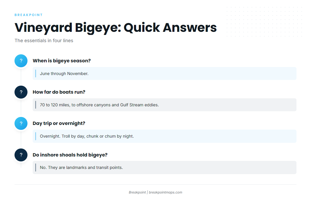
June through November. Boats run overnight canyon trips in that window to the offshore canyons and Gulf Stream eddies.
How far do boats run for bigeye from the Vineyard?
70 to 120 miles, to offshore canyons and Gulf Stream eddies. Bigeye tuna fishing out of Martha’s Vineyard is an overnight run, so plan your boat and fuel around that distance.
Is it a day trip or an overnight trip?
Overnight. You troll by day and chunk or chum by night, which is why the trip runs long enough to cover 70 to 120 miles each way.
Do the inshore shoals hold bigeye?
No. Middle Ground, Lucas Shoal, the Wasque shoals and the Gay Head rips are landmarks and transit points. Squibnocket and Devil’s Bridge are striped bass spots. Bigeye are 70 to 120 miles out.
Which charters list bigeye from the Vineyard?
Done Deal Charters, with Captain Canha and the vessel Done Deal, and Fishsticks Charters.