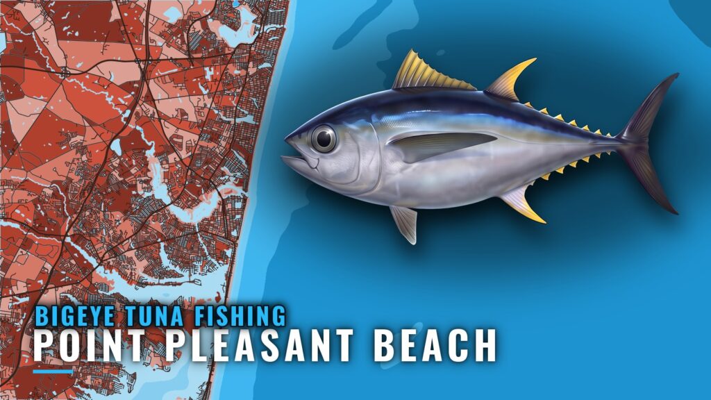
Bigeye tuna fishing out of Point Pleasant Beach is a canyon trip. Boats leave through Manasquan Inlet and run to Hudson Canyon in late summer into early fall. This page covers the season window, the canyon’s east wall, the named reefs, wrecks and basins between the inlet and the canyon, who fishes from this port, and where the rules are posted.
When bigeye are here and where boats run
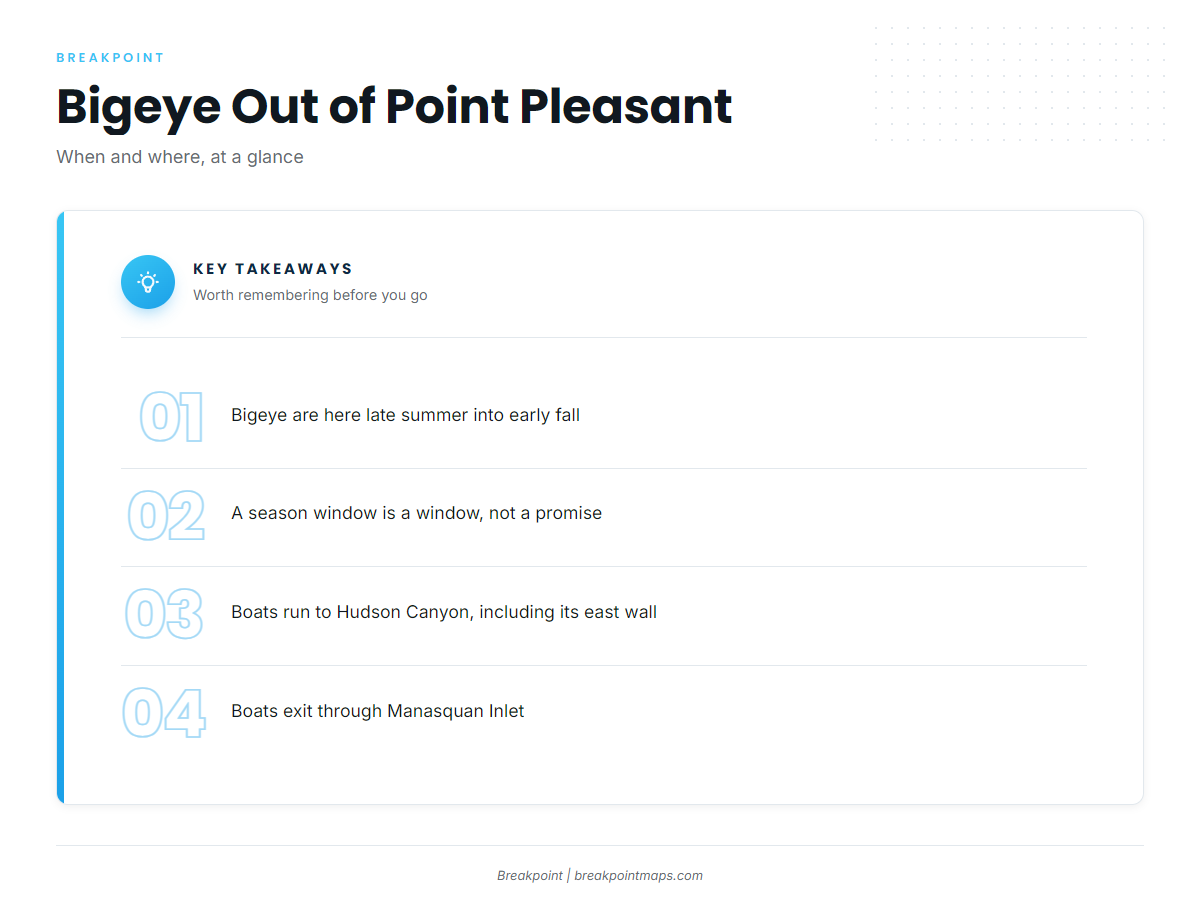
Bigeye are here from late summer into early fall. That window is a planning guide and says nothing certain about where the fish are on a given day.
Boats from Point Pleasant Beach run to Hudson Canyon for bigeye, including its east wall. Everything else on this page is reference material for the trip out. For timing across the region, see bigeye in the Atlantic Northeast (see also the Atlantic Northeast offshore fishing guide).
The run passes the inshore structure listed below. Most local anglers already know the inlet reefs and the Mud Hole as landmarks. Check the official NWS marine forecast before leaving, and go by the numbers it gives rather than any summary judgment about the day.
Named grounds and structure near Point Pleasant Beach
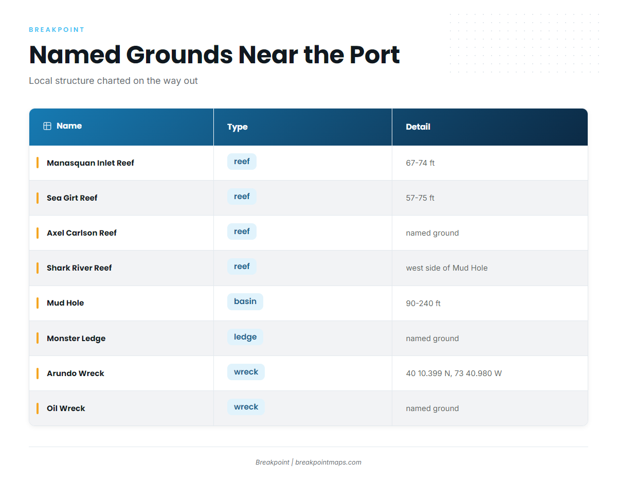
We chart these as named grounds near the port and along the way out. They are local structure, not bigeye spots, since bigeye trips run to Hudson Canyon. Treat the list as reference points.
| Name | Type | Detail |
|---|---|---|
| Manasquan Inlet Reef | reef | 67-74 ft |
| Sea Girt Reef | reef | 57-75 ft |
| Axel Carlson Reef | reef | named ground |
| Shark River Reef | reef | on the west side of the Mud Hole |
| Mud Hole | basin | 90-240 ft (flats to deepest point) |
| Monster Ledge | ledge | named ground |
| Arundo Wreck | wreck | 40 10.399 N, 73 40.980 W |
| Oil Wreck | wreck | named ground |
The reef and wreck waypoints and the canyon contours show on the Chart Contours layer. Chart layers are not for navigation.
How it’s fished and who fishes it
Method and biology for this species are covered in our bigeye tuna fishing guide, which is worth reading before you plan the run.
Who fishes them
SeaOwl Fishing Charters fishes out of this port and lists bigeye tuna among its offshore targets. It is the local operator that lists bigeye, so it is the option for anglers who want to see the canyon run before taking their own boat.
FAQ about bigeye tuna fishing out of Point Pleasant Beach
When are bigeye tuna off Point Pleasant Beach?
Late summer into early fall. That window is for planning and does not mean fish are on the grounds.
Where do Point Pleasant boats run for bigeye?
Boats go out through Manasquan Inlet to Hudson Canyon, including its east wall. For the other tuna that share the canyon run, see our tuna fishing guides.
Do the inshore reefs hold bigeye?
Manasquan Inlet Reef, Sea Girt Reef, Shark River Reef and the Mud Hole are named local structure near the port. Boats run to Hudson Canyon for bigeye.
Is there a local charter for bigeye?
SeaOwl Fishing Charters lists bigeye tuna and fishes out of Point Pleasant Beach.
Where are the rules for bigeye from this port?
New Jersey rules apply to fish landed in New Jersey. A private boat in federal waters needs an HMS Angling permit. Both are covered in the Regulations section above.