Cobia fishing out of Ocean Isle Beach in late spring
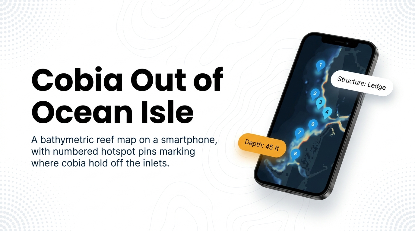
Cobia fishing out of Ocean Isle Beach is a late-spring fishery. Boats leaving Ocean Isle Beach in Brunswick County run through Shallotte Inlet, Lockwood Folly Inlet and Little River Inlet to nearshore artificial reefs and inlet ledges.
This page covers depths, distances, structure names and the methods local boats use, so you can decide where to look. It does not promise fish. For biology and migration, see our cobia species guide. For the regional picture, see the Atlantic Southeast cobia guide (see also the wider Atlantic Southeast guide).
How far boats run
Ocean Isle Fishing Center lists cobia on 6- and 8-hour trips. Those trip lengths are the local measure of range. Most of the numbered reefs below sit well inside it, and the 100 ft ledges sit at the far end.
Three inlets get boats to the water:
- Shallotte Inlet: structure starts just outside the inlet.
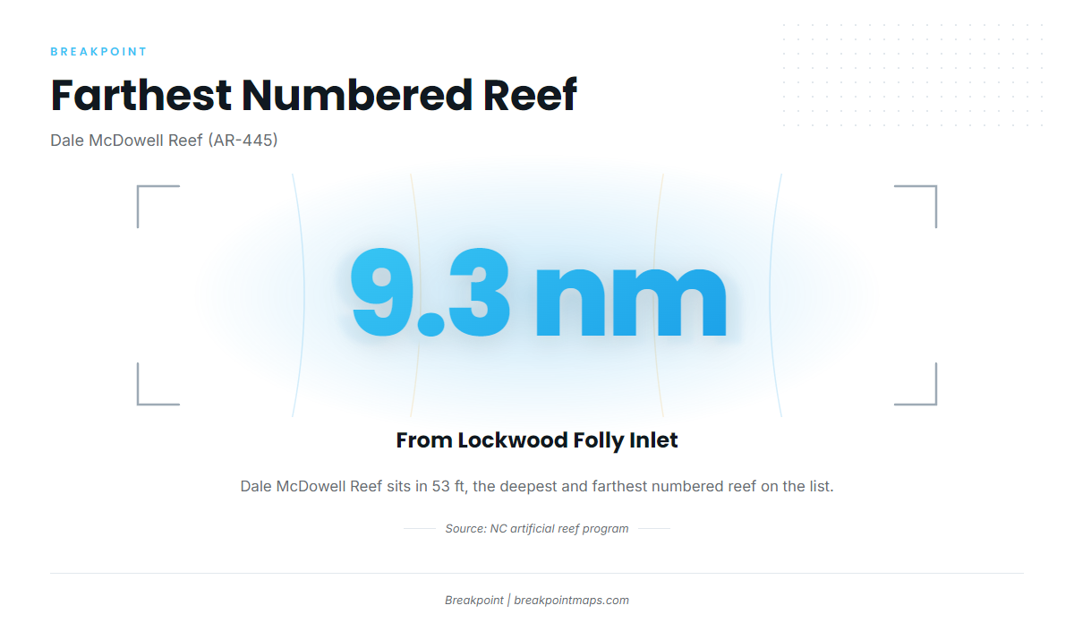
- Lockwood Folly Inlet: the farthest numbered reef on the list, 9.3 nm out, is reached from here.
- Little River Inlet: Jim Caudle Reef sits just outside.
The nearest NOAA buoy, NDBC 41013 Frying Pan Shoals (33.44 N, 77.76 W), sits far offshore, so treat it as distant context rather than a reading of the nearshore reefs. For the water you are running, use the NWS Wilmington marine forecast and read wind, wave height and period as numbers.
Reefs and ledges that hold cobia
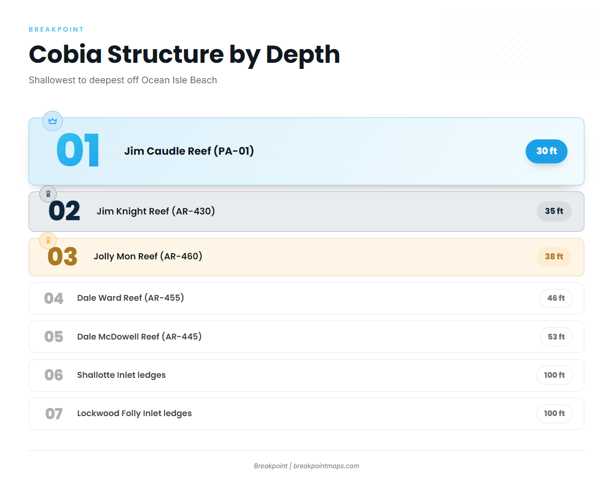
The AR-numbered reefs belong to the state program, documented in the NC artificial reef guide. Depths run from 30 ft at Jim Caudle Reef to 53 ft at Dale McDowell Reef, then to 100 ft on the inlet ledges.
| Name | Number | Depth (ft) | Distance |
|---|---|---|---|
| Jim Caudle Reef | PA-01 | 30 | Just outside Little River Inlet |
| Jim Knight Reef | AR-430 | 35 | |
| Jolly Mon Reef | AR-460 | 38 | Just outside Shallotte Inlet |
| Dale Ward Reef | AR-455 | 46 | About 7 nm from Shallotte Inlet |
| Dale McDowell Reef | AR-445 | 53 | About 9.3 nm from Lockwood Folly Inlet |
| Brunswick County Fishing Club Reef | AR-440 | ||
| Shallotte Inlet ledges | 100 | ||
| Lockwood Folly Inlet ledges | 100 |
Off Shallotte Inlet
- Jolly Mon Reef (AR-460): 38 ft, just outside the inlet. One vendor list calls it Fisherman’s Reef.
- Dale Ward Reef (AR-455): 46 ft, about 7 nm out.
- Shallotte Inlet ledges: 100 ft.
Off Lockwood Folly Inlet
- Dale McDowell Reef (AR-445): 53 ft, about 9.3 nm out. It is the deepest and farthest numbered reef on the list.
- Lockwood Folly Inlet ledges: 100 ft.
Off Little River Inlet
- Jim Caudle Reef (PA-01): 30 ft, just outside the inlet. It is the shallowest structure on the list and carries a PA number rather than an AR number.
Other numbered reefs nearby
- Jim Knight Reef (AR-430): 35 ft.
- Brunswick County Fishing Club Reef (AR-440).
Load the AR and PA numbers into your plotter or view them on the map before the run. Chart layers are not for navigation.
How cobia are fished here
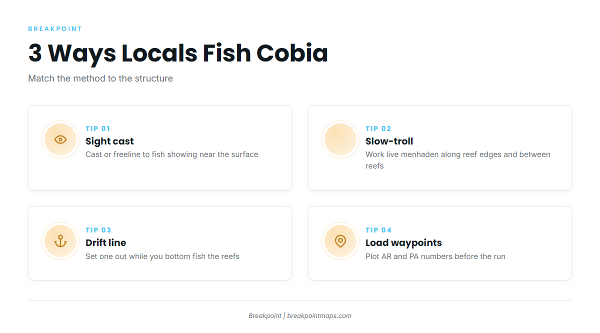
Local charters describe three approaches. For general rigging, the coastal and offshore gamefish guides cover the basics.
Casting or freelining to sighted fish
Use this when fish show near the surface or around the structure. Cast or freeline a bait to a fish you can see.
Slow-trolling menhaden
Slow-trolling menhaden covers reef edges and the run between numbered structures. Pull live menhaden at idle speed and keep the baits working.
Drift lines while bottom fishing
Set a drift line while you bottom fish the reefs. Cobia take it while you work the bottom.
Who fishes cobia out of this port
These operators list cobia and show how the port fishes.
Salty Dawg Fishing Charters
Salty Dawg Fishing Charters runs with Captain Harvey Wall. The style here is casting or freelining to sighted fish.
Ocean Isle Fishing Center
Ocean Isle Fishing Center (Capt. Brant’s Fishing Adventures, Inc.) fields a 33-ft World Cat / Carolina Cat, the 22-ft Get Busy and the 22-ft Tiberias. It lists cobia on 6- and 8-hour trips.
Follow Me Charters (Follow Me Two)
Follow Me runs a 42-ft Prowler with Capt. Fred and Capt. Forest. Its offshore trips fit the drift-line method, with cobia a possibility while bottom fishing.
Hey Now Charters
Hey Now Charters runs a 33-ft Contender tournament center console with twin 350 Yamaha outboards.
Ollie Raja Charters
Ollie Raja Charters runs a 28-ft Blue Water center console.
FAQ: cobia fishing out of Ocean Isle Beach
When is cobia season off Ocean Isle Beach?
Late spring. Start with the local reefs and structure listed above.
Which reef is closest to Shallotte Inlet?
Jolly Mon Reef (AR-460), 38 ft, just outside the inlet. It is also listed as Fisherman’s Reef. Dale Ward Reef (AR-455) is next, at 46 ft and about 7 nm.
How deep is the cobia structure here?
It runs from 30 ft at Jim Caudle Reef (PA-01) to 53 ft at Dale McDowell Reef (AR-445). The ledges off Shallotte Inlet and Lockwood Folly Inlet sit at 100 ft.
Which buoy should I check before running out?
NDBC 41013 at Frying Pan Shoals is the nearest NOAA buoy, but it sits far offshore. Read it as distant context and check the official marine forecast for wind and wave numbers.
What methods catch cobia here?
Casting or freelining to sighted fish, slow-trolling menhaden, and drift lines set while bottom fishing the reefs.
Do charters target cobia from Ocean Isle Beach?
Yes. Ocean Isle Fishing Center lists cobia on 6- and 8-hour trips. Salty Dawg, Follow Me, Hey Now and Ollie Raja also list cobia.