Where Boats Run for Kings Out of Fort Myers Beach
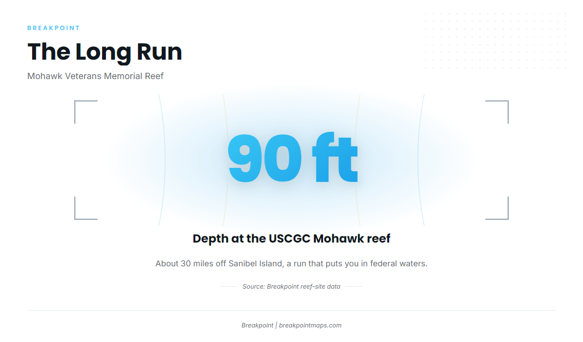
King mackerel fishing out of Fort Myers Beach means running offshore to Lee County reef sites and deeper Gulf structure. This guide gives published positions for The Mount, the Dean Hicks patch reefs and the Phoenix reef site, plus the USCGC Mohawk Veterans Memorial Reef in 90 ft. Use the numbers to pick a ground and plan the run.
The Fort Myers Beach port guide covers the way out and where to read the marine forecast. This section covers the run itself: which grounds sit offshore and how they line up for a kingfish trip.
Offshore reefs and deeper Gulf runs
Boats working kings from this port go to offshore reefs and deeper Gulf structure, and most of the named grounds below are Lee County reef sites. The Mohawk sits about 30 miles off Sanibel, the only distance given on this page. For how Gulf runs work across the region, read the Gulf of Mexico king mackerel guide (see also the Gulf of Mexico offshore fishing guide).
Timing
The king mackerel species guide covers when the fish move along the Gulf coast and what drives it.
Named Grounds and Structure
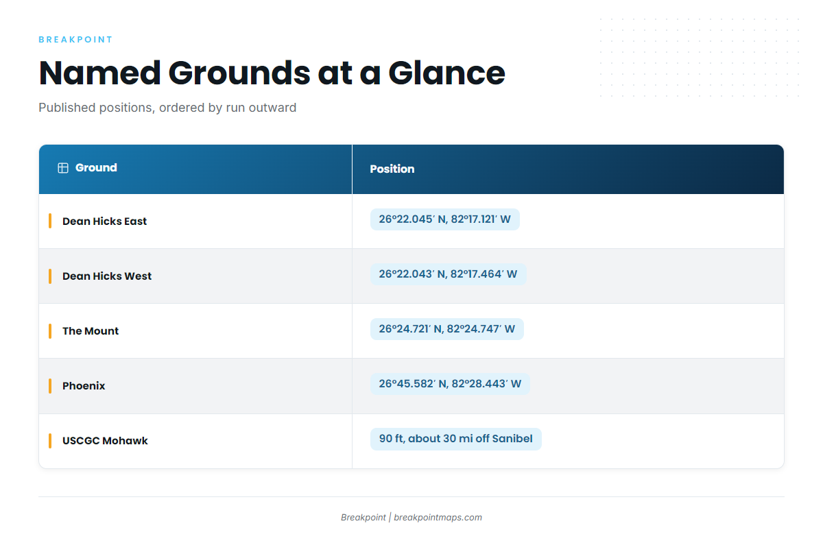
Six grounds are listed below, ordered roughly by run, moving outward.
| Name | Position | Depth/Distance |
|---|---|---|
| Big Carlos Bridge Artificial Reef | ||
| Dean Hicks East Patch | 26°22.045′ N, 82°17.121′ W | |
| Dean Hicks West Patch | 26°22.043′ N, 82°17.464′ W | |
| The Mount (Chris Koepfer’s ARC reef site) | 26°24.721′ N, 82°24.747′ W | |
| Phoenix (Lee County reef site) | 26°45.582′ N, 82°28.443′ W | |
| USCGC Mohawk WPG-78 Veterans Memorial Reef | 90 ft, about 30 miles off Sanibel Island |
These are published reef-site coordinates. Verify them on your chartplotter against the official chart, and remember that chart layers are not for navigation.
Big Carlos Bridge Artificial Reef
Big Carlos Bridge Artificial Reef is a nearby artificial reef and the closest ground in this list.
Dean Hicks East and West Patch
The two patches sit close together:
- East Patch: 26°22.045′ N, 82°17.121′ W
- West Patch: 26°22.043′ N, 82°17.464′ W
Their latitudes are nearly identical, with West a short way west of East. Plot them as a pair when you work the Dean Hicks patch reefs.
The Mount
The Mount, Chris Koepfer’s ARC reef site, sits at 26°24.721′ N, 82°24.747′ W.
Phoenix
The Phoenix reef site, a Lee County reef site, sits at 26°45.582′ N, 82°28.443′ W, well north of the other listed patches.
USCGC Mohawk Veterans Memorial Reef
The USCGC Mohawk WPG-78 Veterans Memorial Reef lies in 90 ft, about 30 miles off Sanibel Island. A run this far puts you in federal waters.
Who Fishes for Kings From This Port
Salty lists kingfish on offshore trips departing Punta Rassa. For rigs and presentation on reef and wreck kings, see the coastal and offshore gamefish guides.
FAQ: King Mackerel Fishing Out of Fort Myers Beach
How far out and how deep is the Mohawk reef?
The USCGC Mohawk Veterans Memorial Reef lies in 90 ft, about 30 miles off Sanibel Island, which puts you in federal waters.
What are the Dean Hicks patch coordinates?
East Patch is 26°22.045′ N, 82°17.121′ W. West Patch is 26°22.043′ N, 82°17.464′ W. Verify both on your plotter before you run.
Who runs kingfish trips from here?
Salty lists kingfish on offshore trips departing Punta Rassa.
When are kings around for king mackerel fishing out of Fort Myers Beach?
The king mackerel species guide covers when the fish move along the Gulf coast and what drives it.
Where are the king mackerel rules?
Start with the Florida fishing regulations page on this site. State rules apply inside the state-federal line and federal rules apply beyond it.