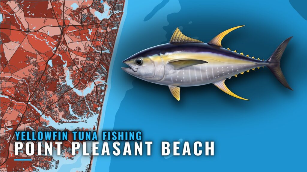
Yellowfin tuna fishing out of Point Pleasant Beach runs August into September, with boats leaving through Manasquan Inlet. This page covers the window, a way to plan the run, the named grounds with their depths and coordinates, and the charters that list yellowfin. It won’t promise fish, but it should help you decide where to look.
When yellowfin tuna are off Point Pleasant Beach
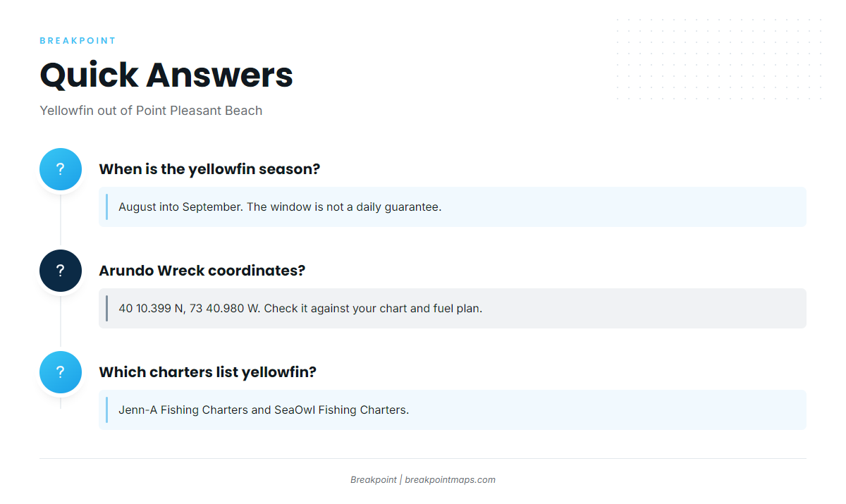
Yellowfin show up off this port from August into September. That tells you when fish are around, not what any single day will produce.
Boats leave from Point Pleasant Beach and run out through Manasquan Inlet. For biology and behavior, see the yellowfin tuna species guide. For the wider pattern along the coast, see the Northeast offshore picture (see also the wider Atlantic Northeast guide).
Window at a glance:
- Season: August into September
- Departure inlet: Manasquan Inlet
- What the window means: fish are in the area, and any single day can fish well or poorly
Running out of Manasquan Inlet
Every yellowfin trip starts at Manasquan Inlet. There is no fixed run length; your fuel plan and the forecast set it. Start with the structure closest to what your fuel allows and work outward.
Planning range
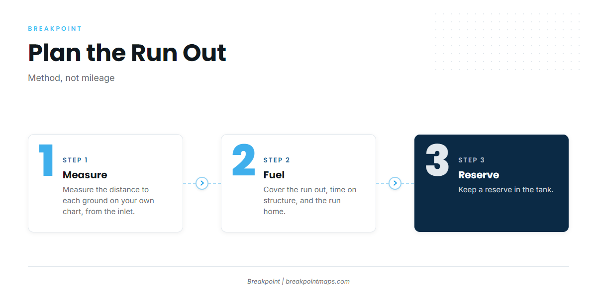
Plan the run in three steps:
- Measure each leg. Take the distance from the inlet to each ground on your own chart.
- Budget the fuel. Count the run out, the time you spend working structure, and the run home.
- Hold a reserve. Leave fuel you do not plan to burn.
The grounds below are listed in the order you meet them moving outward from the inlet.
Reading the forecast
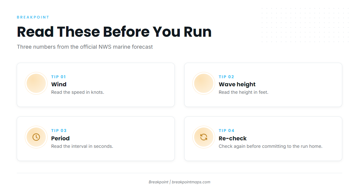
Before you run, read three numbers from the official NWS marine forecast:
- Wind in knots
- Wave height in feet
- Period in seconds
Check them again before you commit to the run home.
Grounds and structure that hold fish
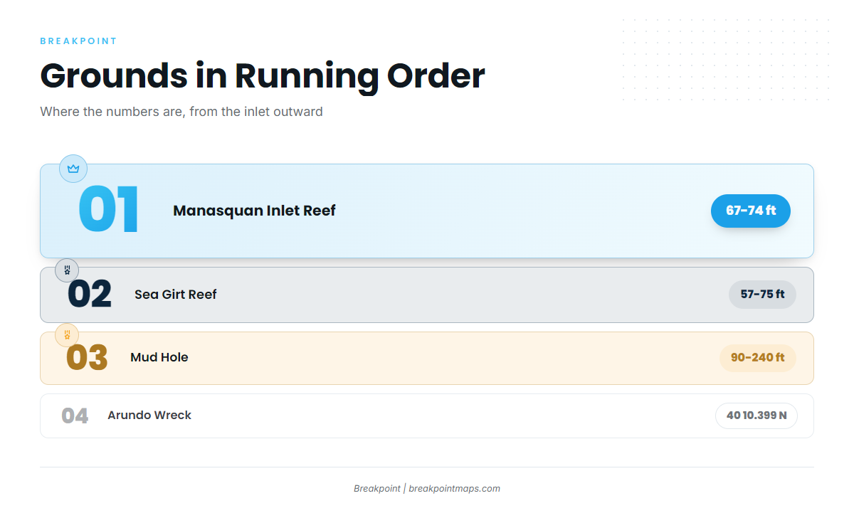
The table lists structure in the order you meet it running out.
| Ground | Depth or position | Notes |
|---|---|---|
| Manasquan Inlet Reef | 67-74 ft | |
| Sea Girt Reef | 57-75 ft | |
| Axel Carlson Reef | ||
| Shark River Reef | On the west side of the Mud Hole | |
| Mud Hole | 90-240 ft | Flats to deepest point |
| Arundo Wreck | 40 10.399 N, 73 40.980 W | |
| Monster Ledge | ||
| Oil Wreck |
Nearshore reefs
Manasquan Inlet Reef sits at 67-74 ft and Sea Girt Reef at 57-75 ft. Axel Carlson Reef is also on the list. These are the first marks on the way out, so use them to check your water and your numbers.
Mud Hole and Shark River Reef
The Mud Hole runs 90-240 ft, from the flats to its deepest point. Shark River Reef sits on its west side.
Chart Contours and OBS SST show where the bottom and the temperature breaks line up around the Mud Hole. Chart layers are not for navigation.
Wrecks and ledges
Arundo Wreck sits at 40 10.399 N, 73 40.980 W. Monster Ledge and Oil Wreck complete the list. Check each waypoint against your fuel plan before you commit.
How yellowfin are fished from this port
Methods vary by boat and by day. Other approaches to tuna fishing are covered elsewhere.
Working the structure
Work the named structure in whatever order your fuel plan allows. Note water temperature and depth at each stop, and move on when the numbers don’t line up. The goal is a better-informed decision about where to look next.
Who fishes for them here
Two local charters list yellowfin tuna:
- Jenn-A Fishing Charters, run by Captain Adrian McElroy
- SeaOwl Fishing Charters
A charter is one way to see the grounds before you run your own boat.
FAQ: yellowfin tuna out of Point Pleasant Beach
When is the yellowfin season off Point Pleasant Beach?
Yellowfin tuna fishing out of Point Pleasant Beach runs August into September. The window tells you when fish are around, not that they bite every day. Read the wind, wave height and period from the forecast before you run.
Where do boats run first out of Manasquan Inlet?
Most boats meet the nearshore reefs first: Manasquan Inlet Reef at 67-74 ft and Sea Girt Reef at 57-75 ft. Next comes the Mud Hole at 90-240 ft, with Shark River Reef on its west side. Your fuel plan sets the order.
What are the Arundo Wreck coordinates?
Arundo Wreck sits at 40 10.399 N, 73 40.980 W. Check the waypoint against your chart and your fuel plan before you commit to the run. Chart layers are not for navigation.
Which Point Pleasant charters list yellowfin tuna?
Jenn-A Fishing Charters, with Captain Adrian McElroy, and SeaOwl Fishing Charters both list yellowfin tuna. A charter is one way to learn the grounds before you run your own boat.
Where do I check conditions before running?
Use the official NWS marine forecast. Read wind in knots, wave height in feet and period in seconds, and re-check them before the run home.