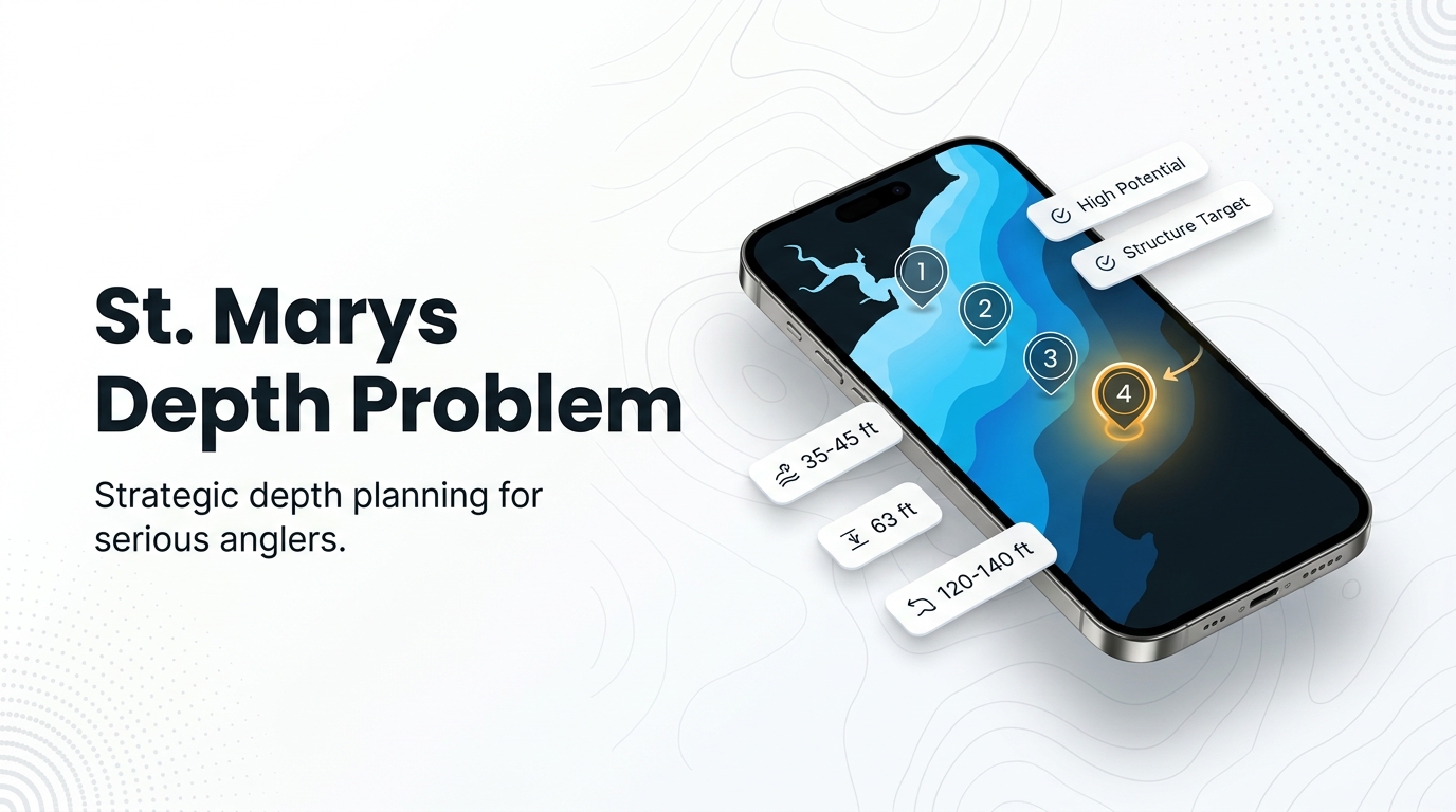
Vermilion snapper fishing out of St. Marys comes down to depth. The named reefs off the inlet sit in 35-63 ft, while a Florida-side forecast puts keepable bottom fishing at 120-140 ft in fall. This page lays out the grounds from the jetties outward, with depths, coordinates, run distances, local methods and the operator that lists the species. For the wider coast, see the vermilion snapper fishing in the Atlantic Southeast and the wider Atlantic Southeast guide.
General biology and technique are covered in the vermilion snapper guide. This page helps you decide where to look; it doesn’t promise fish.
When vermilion snapper are around St. Marys
A Florida-side forecast says keepable bottom fishing for vermilion snapper starts around 120-140 ft in fall. That is a forecast, not a measurement.
The named reefs off St. Marys Inlet run from 35 to 63 ft, well short of that band, which is why the length of the run matters. The next section puts distances on it.
How far boats run from St. Marys Inlet
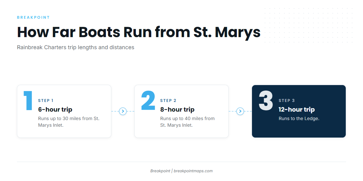
Rainbreak Charters sets the benchmarks for runs out of the inlet:
- 6-hour trips: up to 30 miles
- 8-hour trips: up to 40 miles
- 12-hour trips: the Ledge
Whether to run depends on wind, wave height and period in the official forecast. Check those numbers before committing to 30 or 40 miles.
Grounds and structure off St. Marys
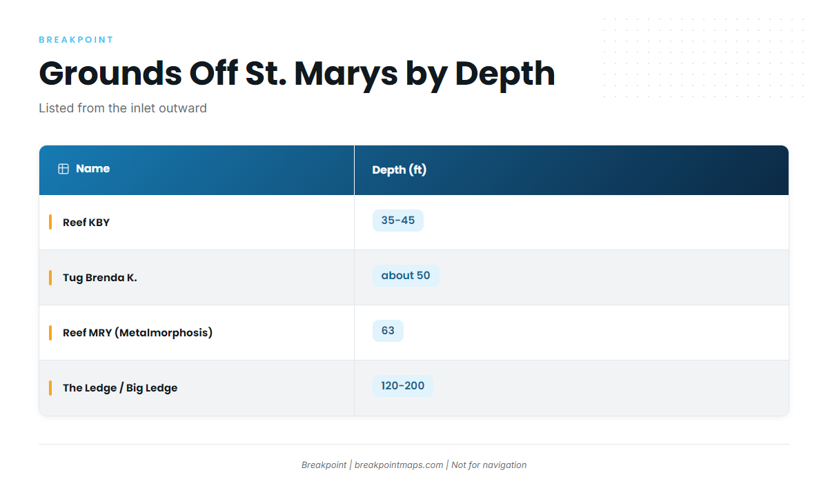
The grounds below run from the inlet outward. Georgia DNR manages the artificial reefs. Chart layers and the coordinates listed here are not for navigation. For the wider regional picture, see the reef fish guides.
| Name | Depth (ft) | Location note |
|---|---|---|
| St. Marys jetties (north and south) | At St. Marys Inlet | |
| St. Marys Sea Buoy | ||
| FA fish haven | Florida side of the inlet; live bottom, tug and barge | |
| Reef KBY | 35-45 | 8 nautical miles east of Cumberland Island |
| Tug Brenda K. | about 50 | At KBY, 30.805283, -81.27555 |
| Reef MRY (Metalmorphosis) | 63 at the vessel | 52-ft steel vessel; deeper, clearer water than KBY (Georgia DNR) |
| Reefs A and CDH | Listed as nearby reefs on the KBY page | |
| The Ledge / Big Ledge | 120-200 | Continental shelf; trolling starts at 120 ft |
St. Marys jetties
The north and south jetties sit at St. Marys Inlet and serve as the starting point for every run.
St. Marys Sea Buoy
The St. Marys Sea Buoy is the outbound reference landmark.
FA fish haven
The FA fish haven is live bottom with a tug and barge, on the Florida side of the inlet.
Reef KBY
Georgia DNR places Reef KBY in 35-45 ft, 8 nautical miles east of Cumberland Island. It is the shallowest step on the way out.
Tug Brenda K.
The tug Brenda K. sits at KBY in about 50 ft, at 30.805283, -81.27555.
Reef MRY (Metalmorphosis)
Reef MRY is a 52-ft steel vessel in 63 ft at the vessel. Georgia DNR describes MRY as deeper, with clearer water than KBY.
Reefs A and CDH
Reefs A and CDH are listed as nearby reefs on the KBY page.
The Ledge / Big Ledge
The Ledge is the continental shelf. Trolling starts at 120 ft and runs to 200 ft, and Rainbreak runs 12-hour trips there. The 120 ft figure describes trolling depths and is not vermilion data, but the Ledge’s 120-200 ft range does overlap the 120-140 ft forecast band.
How vermilion snapper are fished here
Bottom fishing with squid is the Florida-side practice, and Rainbreak notes bottom rigs. Those are the two local methods on record.
The target band is 120-140 ft, per the Florida-side fall forecast. The Chart Contours layer shows where the 120 and 140 ft lines run.
Who fishes for them out of St. Marys
Rainbreak Charters out of St. Marys, run by Captain James (Michael) Walker, lists vermilion snapper. The operator runs 6-hour trips up to 30 miles, 8-hour trips up to 40 miles and 12-hour trips to the Ledge, and notes bottom rigs.
FAQ: Vermilion snapper out of St. Marys
How deep do you fish for vermilion snapper off St. Marys in fall?
About 120-140 ft, per a Florida-side forecast. That is a forecast, not a measurement. The named reefs off the inlet sit in 35-63 ft, so the keepable depth means running past them.
How far do boats run from St. Marys Inlet?
Rainbreak’s 6-hour trips run up to 30 miles, its 8-hour trips up to 40 miles, and its 12-hour trips go to the Ledge. Whether you run depends on the wind, wave height and period in the official forecast.
Where is Reef KBY?
Georgia DNR places Reef KBY 8 nautical miles east of Cumberland Island, in 35-45 ft. The tug Brenda K. sits at KBY in about 50 ft, at 30.805283, -81.27555. These coordinates are not for navigation.
What bait and rigs are used for vermilion snapper fishing out of St. Marys?
Squid is the Florida-side practice for bottom fishing, and Rainbreak notes bottom rigs. Those are the local method facts on record.
Where are the vermilion snapper limits?
Check the official Georgia agency page before fishing. Our Georgia saltwater regulations page points you there. This page prints no sizes, bags or seasons.