When sea bass are around St. Marys and how far boats run
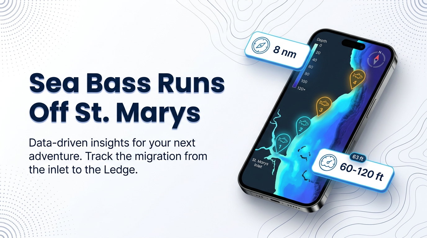
Black sea bass fishing out of St. Marys is a year-round, bottom-on-structure fishery, worked in about 60-120 ft. The platform lists the species year-round, but that comes from the platform, not a captain’s report. Runs start at the jetties and the Sea Buoy at St. Marys Inlet. The nearest reef, Reef KBY, sits 8 nm east of Cumberland Island, and runs extend out to the Ledge, where trolling ground begins at 120 ft. The wider picture is in the black sea bass fishing in the Atlantic Southeast and the Atlantic Southeast region guide.
Two charters out of this port list the species, and they know this year’s bite. Biology and the wider picture are in our black sea bass species guide.
The grounds and structure off St. Marys Inlet
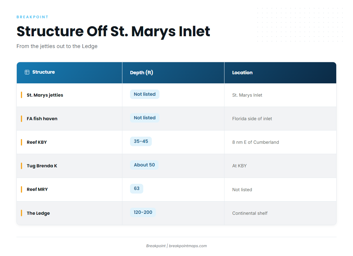
The table runs from the inlet outward, shallow to deep.
| Structure | Depth (ft) | Location | Note |
|---|---|---|---|
| St. Marys jetties (north and south) | not listed | St. Marys Inlet | Inlet structure, start of the run |
| St. Marys Sea Buoy | not listed | Off St. Marys Inlet | Reference point for offshore runs |
| FA fish haven | not listed | Florida side of the inlet | Live bottom, tug and barge |
| Reef KBY | 35-45 | 8 nm east of Cumberland Island | Shallower than the 60-120 ft band |
| Tug Brenda K | about 50 | At KBY, 30.805283, -81.27555 | Shallower than the 60-120 ft band |
| Reefs A and CDH | not listed | Listed as nearby reefs on the KBY page | Nearby reefs |
| Reef MRY (Metalmorphosis) | 63 at the vessel | Not listed | Inside the 60-120 ft band. Georgia DNR says deeper, clearer water than KBY |
| The Ledge / Big Ledge | 120-200 | Continental shelf | Trolling ground. Begins at the band’s outer end |
KBY sits shallower than the 60-120 ft band, while MRY falls inside it, so that comparison is a useful guide to where to drop. Other species these reefs hold are covered in our reef fish guides.
The jetties and the Sea Buoy
The north and south jetties sit at St. Marys Inlet. The Sea Buoy is the reference point where offshore runs begin.
The FA fish haven
The FA fish haven sits on the Florida side of the inlet, with live bottom, a tug and a barge. Check which state’s rules apply there; see Regulations below.
Reef KBY and the tug Brenda K
KBY sits 8 nm east of Cumberland Island in 35-45 ft. The tug Brenda K lies at about 50 ft, at:
30.805283, -81.27555
Chart layers are not for navigation, so verify the position against your own chart. Enter the Brenda K position in your plotter or Breakpoint before the run; the Chart Contours layer shows the bottom change around the reef. No page ties sea bass to KBY by name, so treat it as the nearest structure rather than a confirmed spot.
Reefs A and CDH are listed as nearby reefs on the KBY page.
Reef MRY (Metalmorphosis)
MRY’s 52-ft steel vessel sits in 63 ft, which is inside the 60-120 ft range. Georgia DNR says MRY has deeper, clearer water than KBY. That is a comparison with KBY and says nothing about whether fish are there.
The Ledge
Trolling on the Ledge starts at 120 ft and runs to 200 ft. Rainbreak runs 12-hour trips there. It is the outer limit of the local runs.
How sea bass are fished here
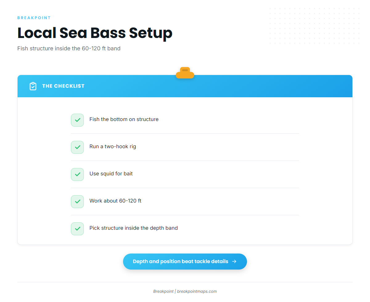
Local boats fish the bottom on structure in about 60-120 ft. The local setup:
- Bottom fishing on structure
- Two-hook rig
- Squid for bait
The rig and bait come from the Guidesly text, not a captain’s report. Depth and position matter more than tackle details, so pick structure inside the depth band.
Who fishes black sea bass out of St. Marys
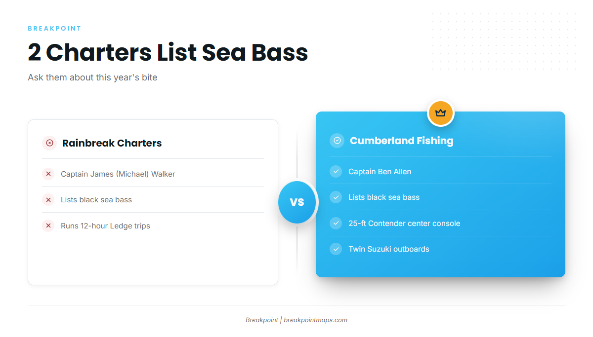
Two local charters list black sea bass:
- Rainbreak Charters out of St. Marys: Captain James (Michael) Walker. Also runs 12-hour trips to the Ledge.
- Cumberland Fishing Charters: Captain Ben Allen. 25-ft Contender center console with twin Suzuki outboards.
Ask them about this year’s bite.
FAQ: black sea bass fishing out of St. Marys
Are sea bass around St. Marys year-round?
The platform lists them year-round for this port, but that is not a captain’s report. The charters that list the species know this year’s bite.
How far is the nearest reef?
Reef KBY sits 8 nm east of Cumberland Island in 35-45 ft. The tug Brenda K is at about 50 ft, at 30.805283, -81.27555.
What depth should I fish for black sea bass?
About 60-120 ft. MRY’s vessel sits at 63 ft, inside that range, while KBY sits shallower.
What rig do local anglers use?
A two-hook rig with squid, fished on the bottom over structure.
Who runs black sea bass charters from St. Marys?
Rainbreak Charters with Captain James (Michael) Walker, and Cumberland Fishing Charters with Captain Ben Allen.
Does the FA fish haven fall under Georgia rules?
It sits on the Florida side of the inlet. Check the Georgia regulations page above and the applicable state’s rules before fishing.