
About Falmouth / Woods Hole
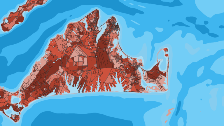
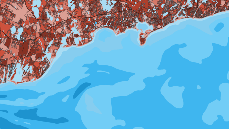
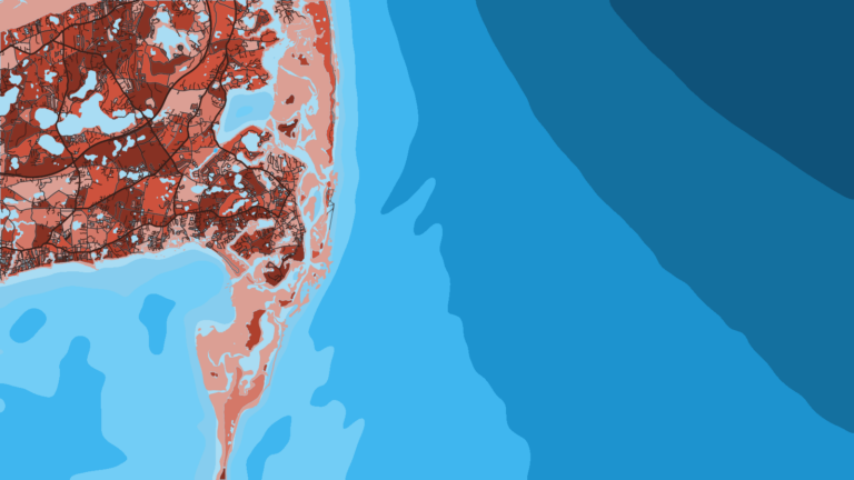
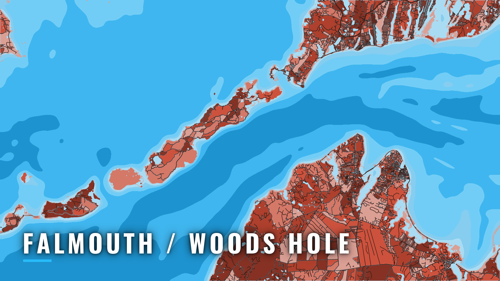
Falmouth and Woods Hole sit at the southwest corner of Cape Cod, where Woods Hole Passage links Buzzards Bay to Vineyard Sound and Nantucket Sound opens to the east. The port faces Martha’s Vineyard across Vineyard Sound and is one of the busiest small-boat corners of Massachusetts. The small-boat season runs spring through autumn. This page covers the ramps, how the entrances behave, the named grounds and what runs each season.
Striped bass is the signature target. Bluefish, black sea bass, bonito, false albacore, scup and tautog fill out the inshore mix, and boats that run offshore can look for bluefin tuna. Every angler 16 and older needs a Massachusetts recreational saltwater fishing permit, which costs $10. Anglers 60 and over still need the permit, at no cost. Check the MassDMF saltwater fishing regulations before you fish. Tuna also requires a federal HMS permit.
Access and navigation
Town ramps and one marina cover the port, from Woods Hole to Waquoit Bay and the Buzzards Bay shore:
- Great Harbor Landing – Woods Hole town ramp on Great Harbor; parking on the dock is by permit only
- Falmouth Harbor Ramp – town and state ramp in Falmouth Inner Harbor; no overnight parking
- Waquoit Bay Landing – town and state ramp on Waquoit Bay to the east
- White’s Landing (Child’s River Ramp) – town and state ramp on the Child’s River
- Green Pond Landing – town and state ramp; no overnight parking and no parking from 2:00 pm to 5:00 am
- Leferve Boat Ramp (Teaticket) – town and state ramp; no trailer parking at the ramp or the town dock
- Megansett Harbor Landing (North Falmouth) – Buzzards Bay side town and state ramp
- West Falmouth Harbor Landing – town ramp on the Buzzards Bay side
- Falmouth Marine & Yachting Center – marina in Falmouth Inner Harbor
Falmouth Inner Harbor is entered through a dredged channel between 2 jetties. Outside the jetties, the Sound current runs across the approach. About 1.5 miles south of the harbor, the flood sets east-northeast at 2.3 knots and the ebb sets west-southwest at 1.7 knots. A boat can feel set sideways near the jetty mouth, so allow for it before you commit to the channel.
Woods Hole Passage has the strongest current in the area. The Coast Pilot says current in the narrow part at times exceeds 4.5 knots, with 5.0 knots reported, and about 3.5 knots runs in The Strait south of Penzance Point. Buoys in the narrowest part are sometimes towed under and can be hard to see. Wind against a strong tide tends to stand the water up, and the same effect shows up on the grounds below.
There are alternatives. For Woods Hole, the northerly entrance from Great Harbor into The Strait is preferred over Broadway, which has a sharp turn that can be hard to make in strong current, especially for low-powered boats. From Falmouth Harbor, you can stay in Vineyard Sound or Nantucket Sound and skip the Hole entirely.
Buzzards Bay is open to the south and southwest. Southwesterlies are common from spring through fall, and they funnel and strengthen as they run up the bay. Speeds are often double those at nearby land stations, and the shallow water can build a stiff chop. They tend to blow harder near the Elizabeth Islands than mid-bay. Woods Hole also runs year-round ferry traffic across Vineyard Sound, so you might need to give large vessels room in the channel.
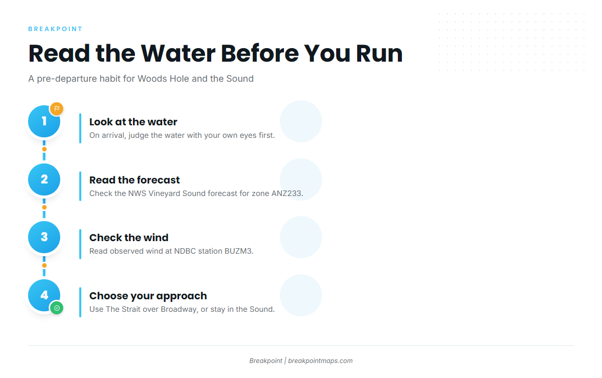
Before you commit to a route:
- On arrival, look at the water.
- Read the NWS Vineyard Sound forecast for zone ANZ233.
- Check wind at NDBC station BUZM3.
- If the water looks bigger than you want, switch approaches. Choose The Strait over Broadway, or stay in the Sound instead of transiting the Hole.
U.S. Coast Pilot 2, Chapter 5 has the full approach details. Our chart layers are not for navigation.
Fishing conditions
Vineyard Sound, Nantucket Sound and Buzzards Bay sit inside the wider Northeast fishing picture. The same flow that makes the Hole difficult tends to concentrate bait over the rips and shoals, which is where the named grounds get their reputation.
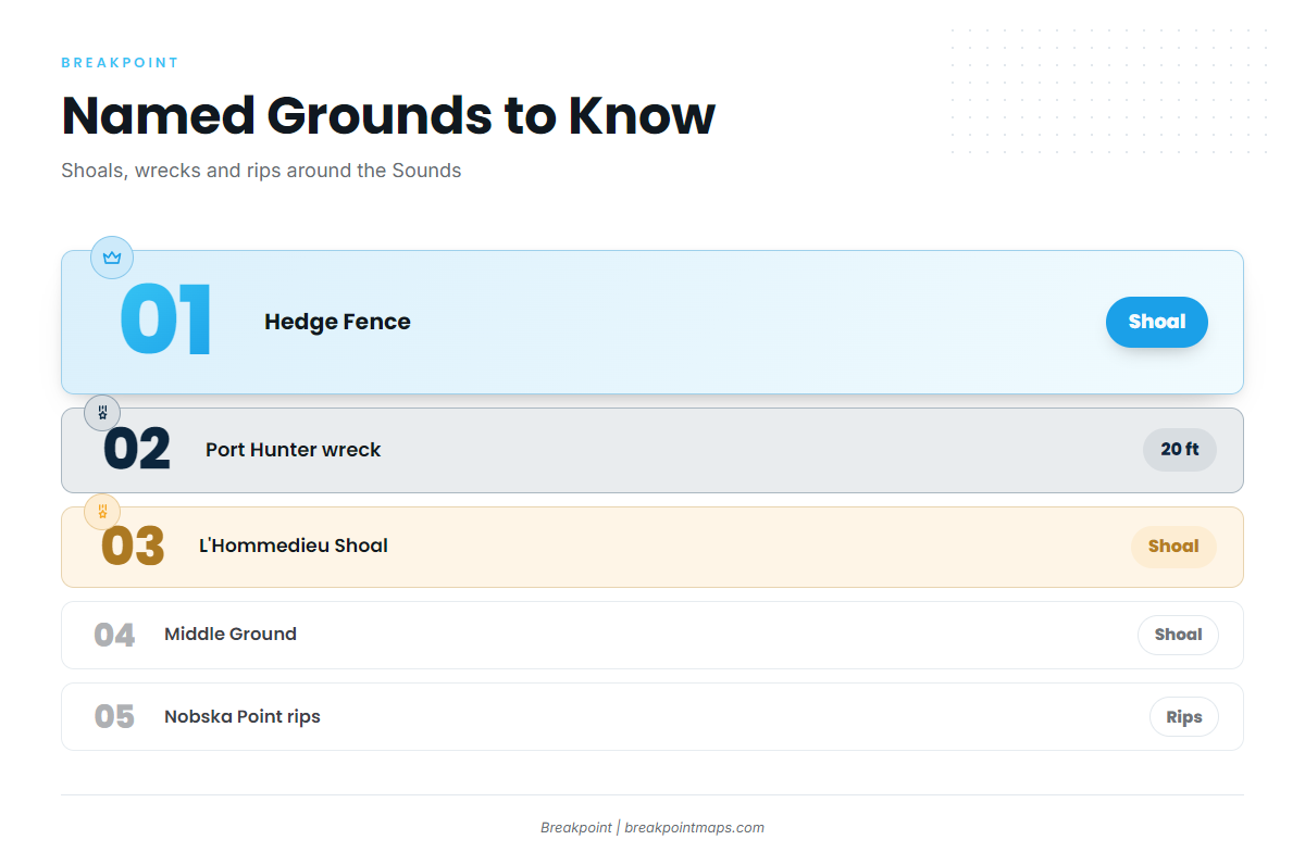
| Ground | What to know |
|---|---|
| Hedge Fence | Nantucket Sound shoal. Can stand up a short, steep chop when wind runs against a strong tide |
| Port Hunter wreck | West end of Hedge Fence, in 20 ft |
| L’Hommedieu Shoal (Halfway Shoal) | Shows the same wind-against-tide chop as Hedge Fence |
| Middle Ground | Vineyard Sound shoal |
| Nobska Point rips | At the Vineyard Sound mouth of Woods Hole |
Winter
The small-boat fishery here is mainly spring through autumn. Season length depends on the species, so check MassDMF for season details before you plan a trip. Southern New England cod is closed to retention.
Spring
Striped bass arrive and work the rips and shoals. Our notes on the Northeast striped bass run cover the wider migration. At Nobska and the Hole, bass tend to set up in the rips on a moving tide.
Summer
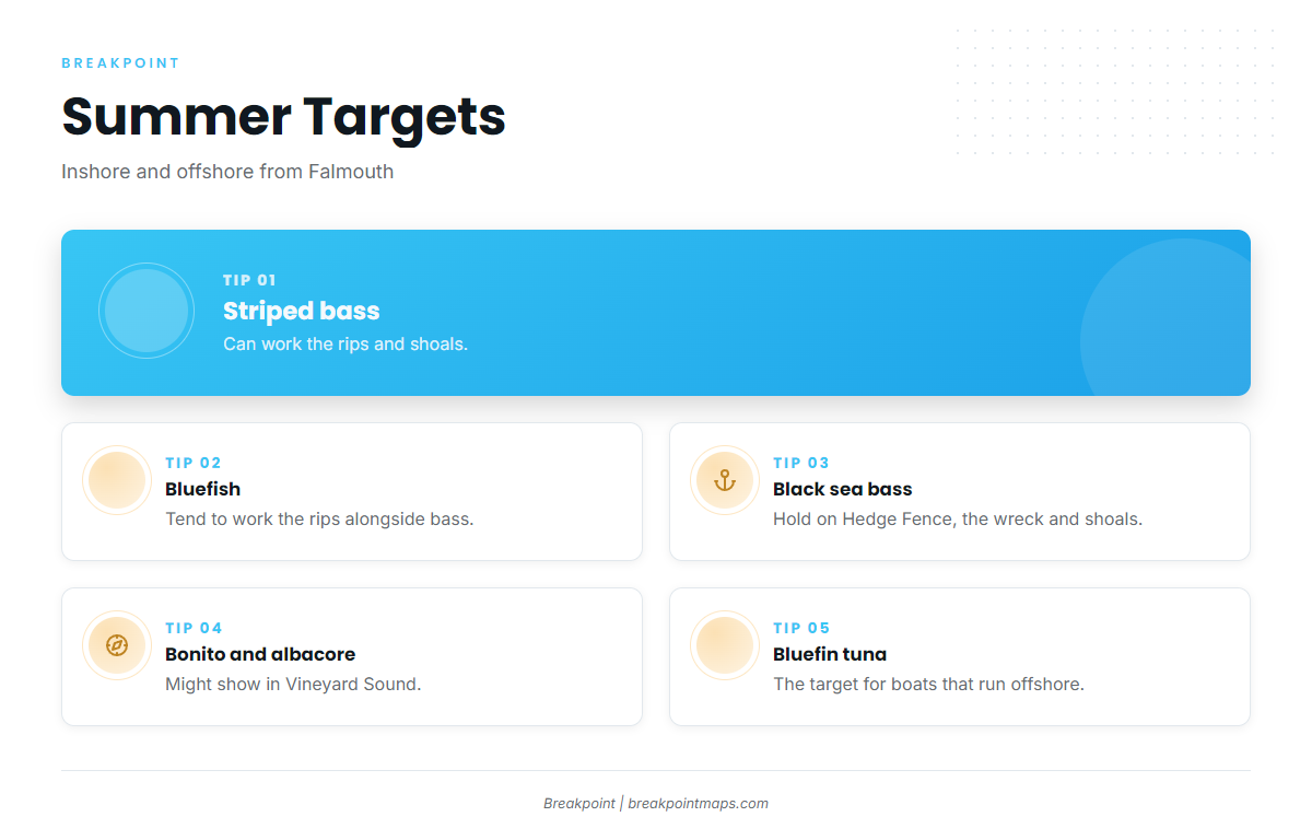
Striped bass and bluefish work the rips. Black sea bass hold on Hedge Fence, the Port Hunter wreck and the shoals, and our black sea bass guide covers the bottom game. Bonito and false albacore can show in Vineyard Sound.
Bluefin tuna are the target for boats that run offshore, and our Northeast bluefin tuna notes cover that fishery. Boats making that run can also read our yellowfin tuna guide and Northeast yellowfin notes for the wider tuna picture. The OBS SST and Chlorophyll layers in Breakpoint help you find edges before a run south.
Autumn
The summer mix holds: striped bass, bluefish, black sea bass, bonito, false albacore, and bluefin tuna offshore. Tautog and scup join the bottom fishing on the shoals and the wreck. Timing varies with the species, so expect the mix to shift week to week.