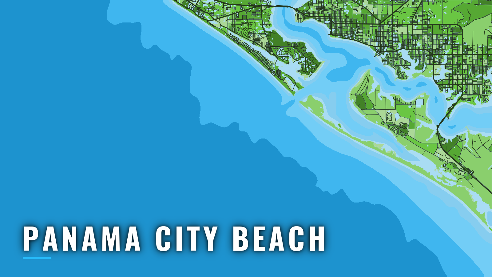

About Panama City Beach
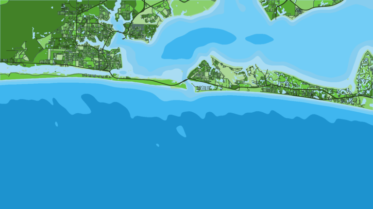
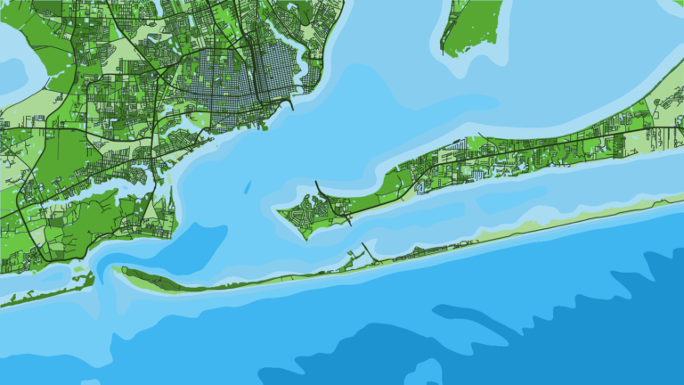
Boats from Panama City Beach leave marinas on Grand Lagoon, run into St. Andrew Bay, and reach the Gulf of America (Gulf of Mexico) through St. Andrews Pass, the jettied cut through Shell Island. The entrance faces southwest and is the only practical way out from this port. For anyone running their own boat, the Pass needs the most attention of any part of the trip. It is also one of the Florida ports where reef fishing and blue water share the same front door.
The water fishes year-round. Bottom fishing on Bay County’s permitted artificial reefs anchors most trips, with red snapper the headline species, along with gag grouper and amberjack. King mackerel, cobia, mahi-mahi, blackfin tuna, wahoo and billfish move through by season. Red snapper and gag grouper seasons are set by quota and change, so check the Florida Fish and Wildlife Conservation Commission (FWC) before fishing, and confirm your saltwater fishing license and State Reef Fish Angler designation. This page covers getting out through the Pass, getting back in, and what the water holds by season.
Access and navigation
Public ramps and marinas around the bay and Grand Lagoon:
- Dolphin Boat Ramp – Bay County public ramp
- Oriole Street Boat Ramp – Bay County public ramp
- West Hathaway Bridge Boat Ramp – Bay County public ramp at the bridge
- St. Andrews State Park boat ramp – 2 concrete ramps with boarding docks inside the park, near the Pass
- Capt. Anderson’s Marina – Grand Lagoon marina
- Point South Marina Bay Point – marina with fuel listed
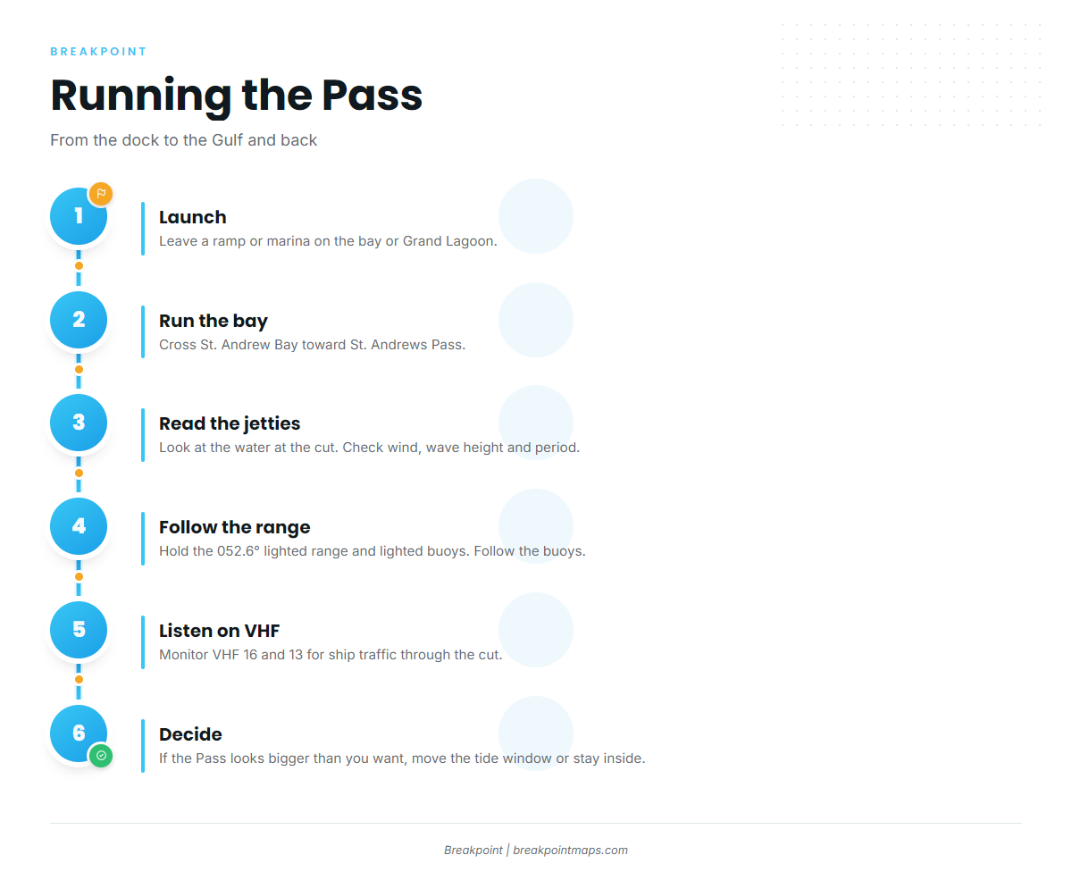
The jettied channel is marked by a 052.6° lighted range and lighted buoys. Submerged jetties extend seaward from both entrance points. The northwest one is unmarked, and the southeast one is marked by a lighted buoy. These details come from U.S. Coast Pilot 5, Chapter 6.
The ebb runs out through the dredged cut between the jetties. When a moderate south wind blows against that outgoing current, it tends to stand up heavy tide rips, steepening and shortening the seas, and the cut can look very different on either side of the tide. The cut is subject to shoaling, so the chart might not match the bottom. Follow the buoys.
West of the entrance the beach is steep-to. Depths under 30 ft rarely extend more than 0.3 mile offshore, so south winds send seas onto that shore with little room to break down before the beach.
Commercial ships use the same entrance, and large vessels require one-way transit in the cut because of shoaling and strong currents. Recreational boats crowd the channel on weekends and holidays. Ship security calls go out on VHF 16 and 13, so monitor both while running the cut.
There is no practical second inlet from this port. The opening southeast of Shell Island is unmarked and has shoaled to bare, so it is not an option. If the Pass looks rough, the choices are timing and location: wait for the flood or slack water, or fish the bay instead of going out.
Before leaving, look at the water at the jetties. Then check the NDBC station PCBF1 readings and the NWS Tallahassee coastal waters forecast for zone GMZ752. That forecast covers out 20 NM and 20 to 60 NM, so blue-water runners should read the outer zone too. Read wind, wave height and period as numbers, and keep in mind that a forecast is only a forecast. If the Pass looks bigger than you want, move your tide window or stay inside.
Fishing conditions
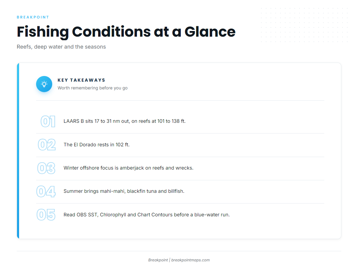
Bay County’s Large Area Artificial Reef Site B (LAARS B) sits in federal waters 17 to 31 nm from St. Andrew Bay Pass. Reefs there are placed at 101 to 138 ft, according to Florida Sea Grant on Bay County reefs. The El Dorado rests in 102 ft. For coordinates, use the Bay County Artificial Reef Database, which lists public sites by distance from the Pass and has an interactive map.
Reef fish on this structure include red snapper, gag grouper and amberjack. Pelagics pass over it, and mahi-mahi tactics and wahoo both apply once you leave the bottom and start running lines.
Past the reefs, the shelf edge and the deep water beyond it run toward DeSoto Canyon. That water can hold blue marlin and other billfish in the warm months. Conditions out there change with the water, so treat any single report as a starting point.
Winter
The offshore focus is amberjack on the reefs and wrecks. Red snapper is on the winter list but depends on the season, so check FWC before you go. Inside, the list includes speckled trout, redfish, black drum, sheepshead, pompano and flounder. Keep the offshore plan flexible around winter fronts.
Spring
King mackerel, red snapper, grouper and amberjack are the offshore targets. Spanish mackerel, mangrove snapper and pompano show up closer in. Pelagics start working back through, and bottom fishing stays steady on the reefs.
Summer
On the blue-water side, the list is mahi-mahi in the Gulf, blackfin tuna and billfish, including Gulf blue marlin. On the bottom, red snapper, grouper and amberjack continue, within whatever the quota allows. Tarpon also show in the warm months.
Autumn
Amberjack and cobia work the reefs. Blue-water trips pick up as fronts begin, which is when wahoo in the Gulf become a focus. Spanish mackerel, jack crevalle, sharks and tarpon round out the list.
Before a blue-water run, read the water on OBS SST, Chlorophyll and Chart Contours in Breakpoint. Chart layers are not for navigation.