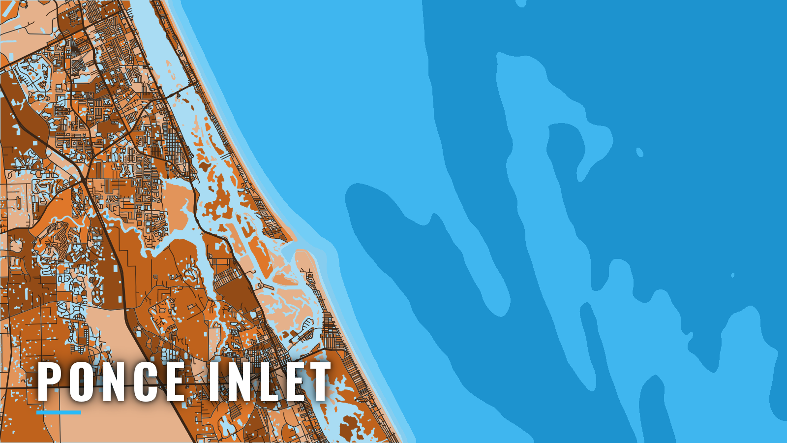

About Ponce Inlet
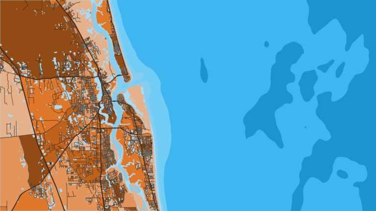
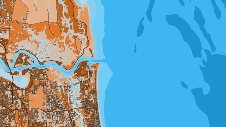
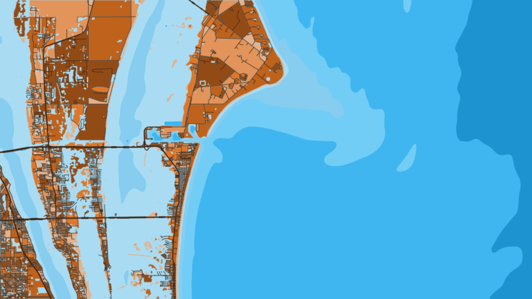
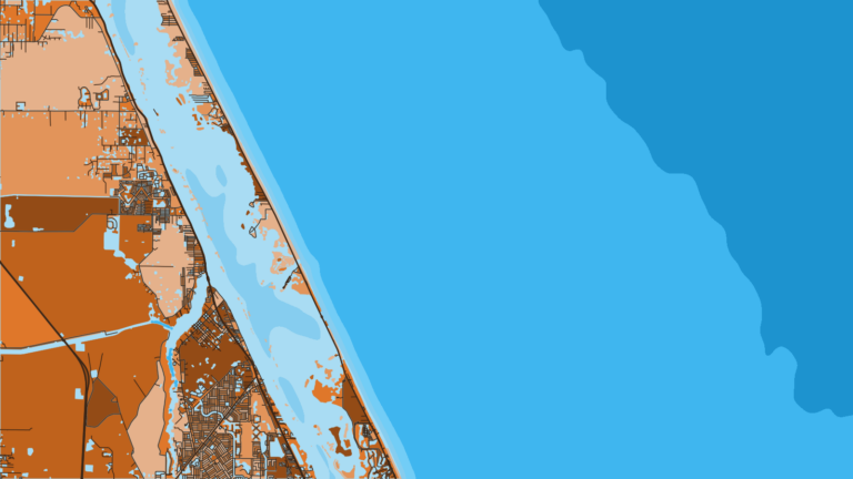
Ponce Inlet connects the south end of the Halifax River and Mosquito Lagoon to the Atlantic, with Indian River North on the Intracoastal Waterway behind it. The official name is Ponce de Leon Inlet. It is one of the Florida offshore ports on the central Atlantic coast and serves boats bound for New Smyrna Beach and Daytona Beach.
Offshore runs go to the Volusia County artificial reefs and natural ledges, then out toward the Gulf Stream, the heart of Atlantic Southeast offshore fishing. The fishery runs year-round, and species shift with the seasons: sailfish and blackfin tuna in winter, red snapper, grouper, wahoo and mahi-mahi in summer, and kingfish and Spanish mackerel nearshore. This guide covers how to get out and back, where the grounds sit, and what runs each season.
Access and navigation
Ponce de Leon Inlet is a jettied cut with a strong current and a bar that can change with every storm. Launch, fuel up, and read the water before you commit.
Public ramp and marinas:
- Lighthouse Park public boat ramppublic ramp across from Kay & Ayres Davies Lighthouse Park
- Inlet Harbor Marinamarina, fuel listed
- Halifax Harbor Marinamarina, fuel listed
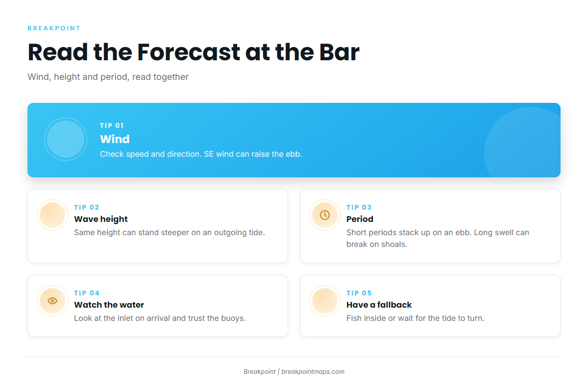
The current. U.S. Coast Pilot 4 describes the current through the inlet as strong, with an average ebb of 3 knots that can increase to 5 or 6 knots with southeasterly winds.
At the mouth, an ebb running against an east or southeast swell tends to shorten and steepen the waves, so the same forecast height can stand up much steeper on the outgoing tide than on the flood. Southeasterly wind can raise the ebb and the opposing sea at once. Local boaters report that an east wind on an outgoing tide tends to raise steep rollers at the inlet.
Jetty and shoals. A light marks the outer end of the north jetty. The inner end is awash, so give it room. Numerous recreational boats anchor inside the north jetty. The Coast Pilot reports a controlling depth of 14 ft through the inlet, with midchannel depths of 5 ft in the Halifax River channel and 9 ft via Indian River North to the Intracoastal Waterway.
Shoaling on the north side can narrow the turn north inside the inlet. Traffic tends to be heavy, and slow zones are enforced. Shoals move after storms, so buoys may not match an older chart; follow the buoys on the water. Coast Pilot depths are survey figures and don’t guarantee what you’ll find on a given day.
Outside the jetties. The Coast Pilot lists a sunken wreck about 1.7 miles ESE of the inlet. A wreck with 35 ft over it and shoals with a least depth of 35 ft lie 5 to 7 miles NNE. Fish havens extend 11 miles offshore NE and 13 miles offshore SE, and some are unmarked.
Where to read conditions:
- NWS AMZ550 coastal waters forecast, covering Flagler Beach to the Volusia-Brevard County line, 0-20 nm
- NDBC Station 41069 buoy, Ponce de Leon Inlet
- NDBC Station 41070, Ponce de Leon Inlet Waves, on the same NDBC site
In the forecast, read wind speed and direction, wave height, and dominant period together. Period matters at a bar. Short-period wind waves arrive close together and stack up on an ebb, while longer-period swell carries more energy and can break on the shoals even when its height looks modest. The forecast gives an expectation, and the buoys show what is actually happening.
If you’d rather not cross the bar, stay inside on the Halifax River or Indian River North, or wait for the tide to turn before crossing. Look at the water at the inlet and check the official forecast when you arrive. If it looks bigger than you want, fish inside or wait for the tide.
Fishing conditions
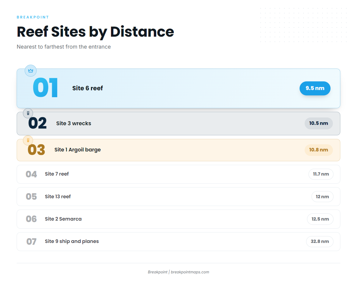
Nearshore, the Volusia County artificial reefs sit about 9.5 to 12.5 nm from the entrance. Site 9 sits farther out at 32.8 nm and 135 ft. The natural ledges and deeper edges lie beyond, out toward the Gulf Stream. King mackerel over the Atlantic Southeast reefs tend to be a nearshore troll target over the reef sites.
| Name | Type | Distance | Depth |
|---|---|---|---|
| Site 6 | reef | 9.5 nm | 60 ft |
| Site 3 (Mindanao and other wrecks) | wreck | 10.5 nm | – |
| Site 1 (Argoil barge and culverts) | reef | 10.8 nm | – |
| Site 7 | reef | 11.7 nm | – |
| Site 13 | reef | 12 nm | – |
| Site 2 (Semarca and culverts) | reef | 12.5 nm | 75 ft |
| Site 9 (ship and planes) | wreck | 32.8 nm | 135 ft |
| Party Grounds, Rolldown | ledge | – | – |
| Mango Hole | other | – | – |
Other named reefs: East Eleven, Ten Fathoms, 16 Fathoms, 27 Fathoms, The Mound, Steeples, Half North, Inside Eleven, East Ridge, Long John, Red Snapper Sink.
The wrecks at Site 9 and the ledges are structure that tends to hold greater amberjack.
Before choosing between the reef sites and the deeper edges, check the OBS SST and Chlorophyll layers in Breakpoint for temperature breaks and color changes. Chart layers are not for navigation.
Winter
Sailfish and blackfin tuna can show on the deeper edges, with sheepshead around inshore structure. The sailfish fishing guide covers the technique.
Spring
Spanish mackerel work nearshore, and sheepshead hold around inshore structure. Kingfish on the reef sites can also be part of the mix.
Summer
Red snapper and grouper tend to hold on the ledges and the Party Grounds. Sharks work around bottom structure, and tarpon show nearshore. Mahi can line up along temperature breaks and floating weed offshore, as covered in the guide to mahi-mahi off the Atlantic Southeast. Wahoo can share the deeper edges with mahi.
For bottom technique, see red snapper tactics, and note that Atlantic rules differ from the Gulf. Atlantic red snapper opens only by announced season. Check with FWC and NOAA Fisheries before fishing.
Autumn
Red snapper may return by announced season, so check the agencies as above. Bull redfish tend to stack at the jetty. Spanish mackerel, bluefish and jack crevalle work nearshore, and the king mackerel fishing guide covers the troll. Inshore, flounder, snook and speckled trout are in the mix.