
About Georgetown
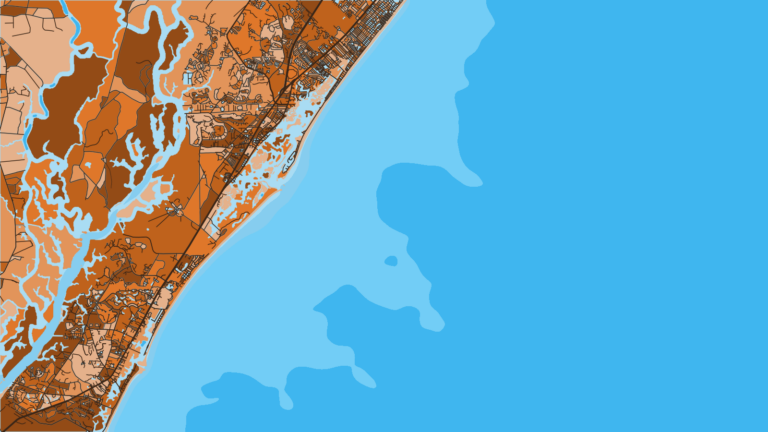
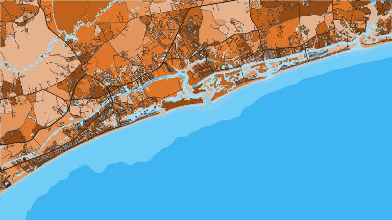
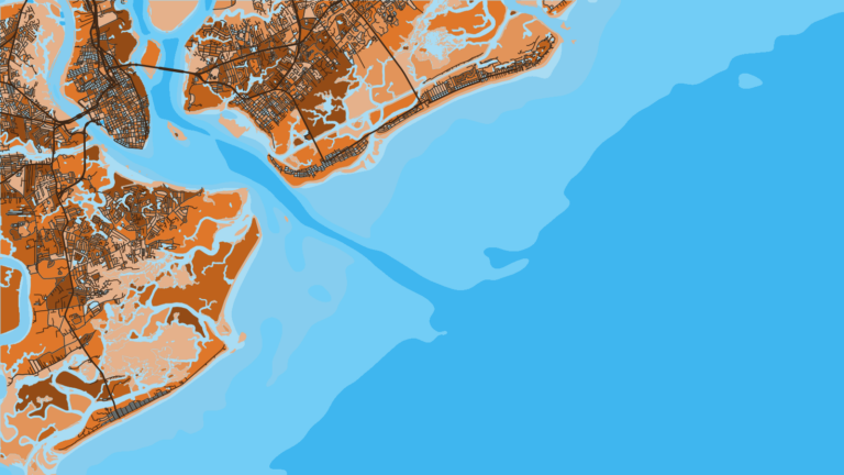
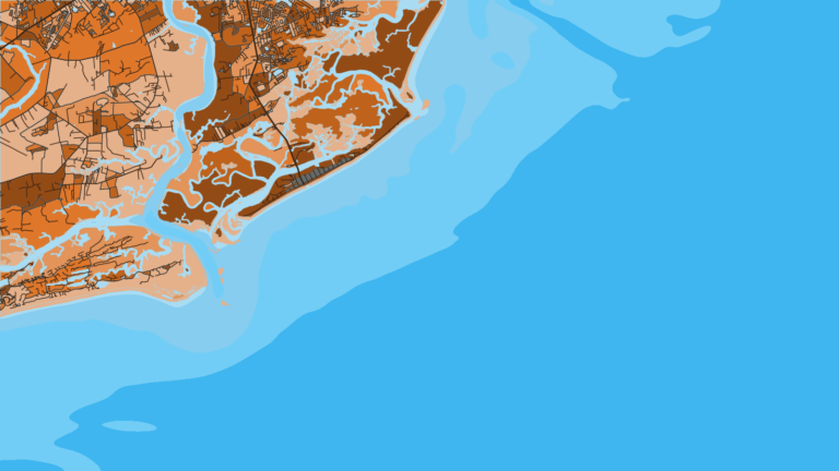
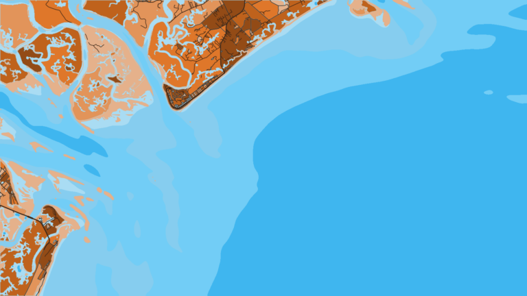
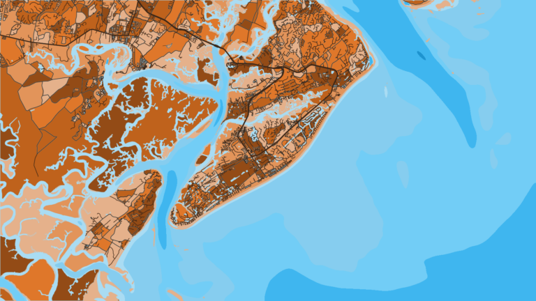
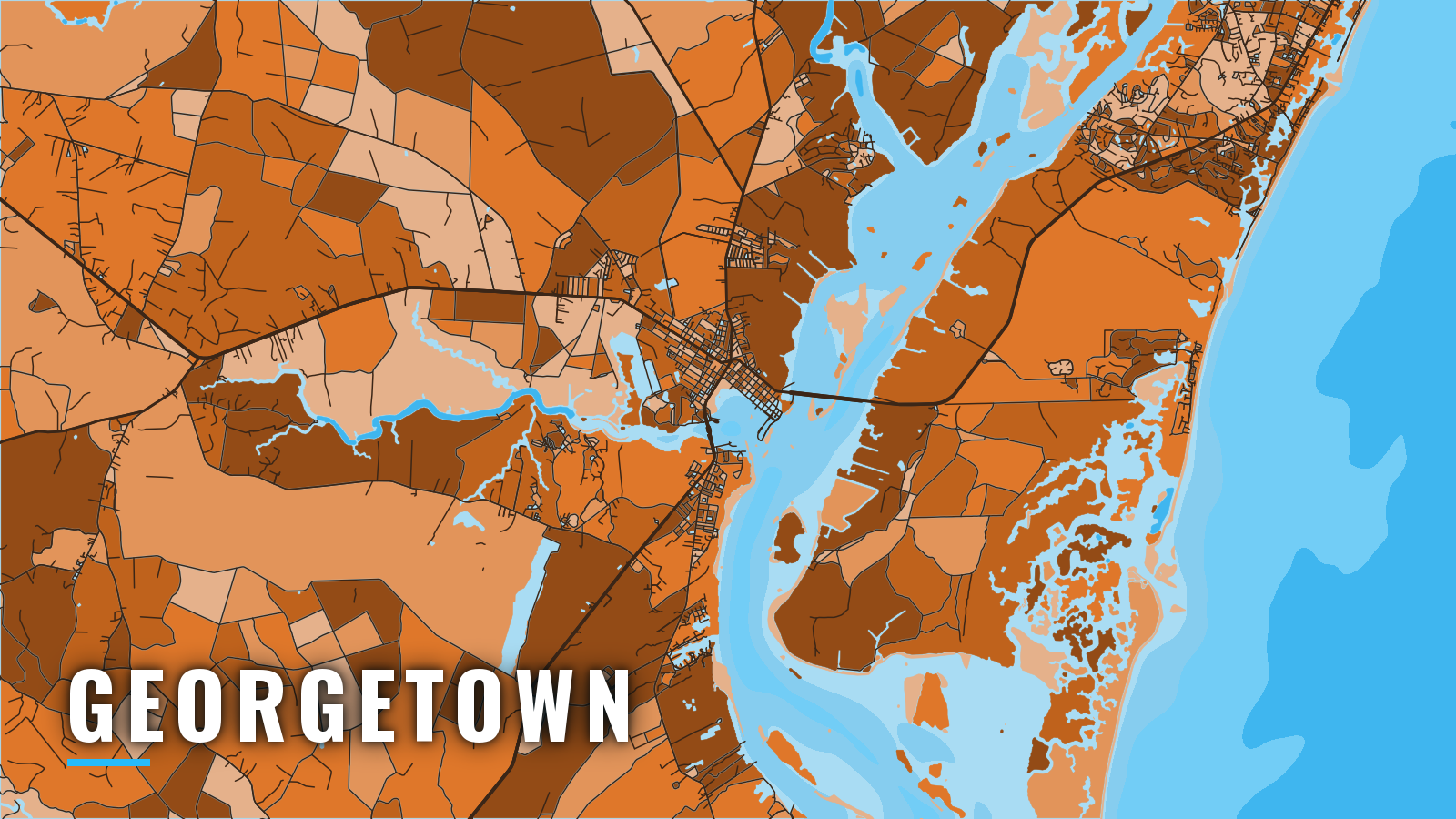
Georgetown sits about 14 miles up Winyah Bay, which reaches the Atlantic through a jettied entrance between North Island and South Island. Boats here fish the bay and nearshore reefs and run offshore to the Gulf Stream. Murrells Inlet lies 20 miles north-northeast of Georgetown Light, and the coast runs southwest about 45 miles to Charleston Harbor.
The bay and the nearshore reefs fish year-round, and offshore pelagics run from spring through autumn. Anglers target mahi-mahi, wahoo, king mackerel, cobia, gag grouper, vermilion snapper, blackfin tuna, sailfish and blue marlin. Size, bag and season rules are on our South Carolina regulations page.
Access and navigation
Boat owners have two marinas with their own sites and three public launch points. Check each owner’s current terms before you tow.
Ramps and marinas
- Georgetown Landing Marina – full-service, fuel listed.
- Harborwalk Marina – on the Sampit River at the historic waterfront.
- Carroll A. Campbell Marine Complex – 6 ramps, 200 car-and-trailer spaces, courtesy docking, restrooms.
- East Bay Street Landing – East Bay Park, in town.
- South Island Ferry landing – southeast of town on South Island Road, closer to the entrance.
The run down the bay
The entrance lies about 14 miles below town. The tidal current in the channel averages about 2 knots, with a stronger ebb during freshets. The dredged side channel along the waterfront tends to shoal between dredgings. NOAA Chart 11534 covers the harbor approach.
The entrance
The facts below come from U.S. Coast Pilot 4, Chapter 6.
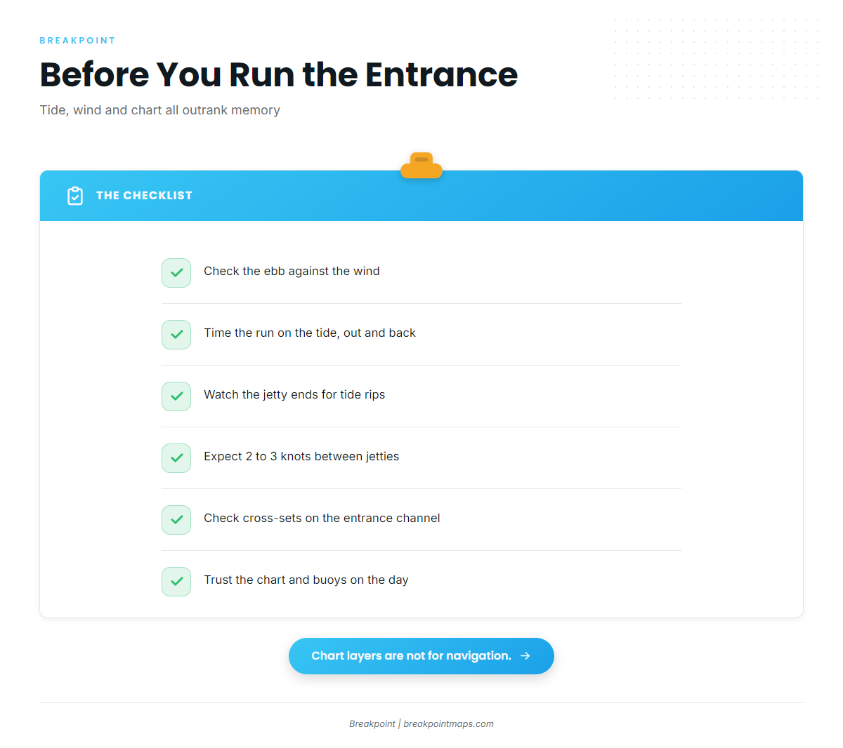
Jetties stand on both sides of the entrance. They are partly submerged at high water, when only 3 rock mounds show along the south jetty. Tide rips are reported near the jetty ends, and heavy seas can run there even in moderate weather.
Current between the jetties averages 2 to 3 knots. Ebb currents of 6 to 7 knots are reported in Range C and South Island Bend. During freshets and with westerly winds, the ebb can be strong enough to nearly tow channel buoys under.
Outside the jetties, fresh northeast winds set a southerly current across the entrance channel, while south or southwest winds set a northerly one.
South Island Bend shoals, and its buoys get shifted to mark the best water. The southwest tip of North Island is building toward the east edge of the channel.
An ebb running against an onshore wind tends to stand the entrance up. Time the run on the tide and watch the wind, on the way out and on the way back. Shoals move between dredgings, so the chart and the buoys on the day outrank memory.
The other way out
North Inlet connects to Winyah Bay by Town Creek and Jones Creek. Check the chart before you use it.
When you arrive, look at the water and check the National Weather Service marine forecast. If the entrance looks bigger than you want, switch approaches or wait on the tide.
Fishing conditions
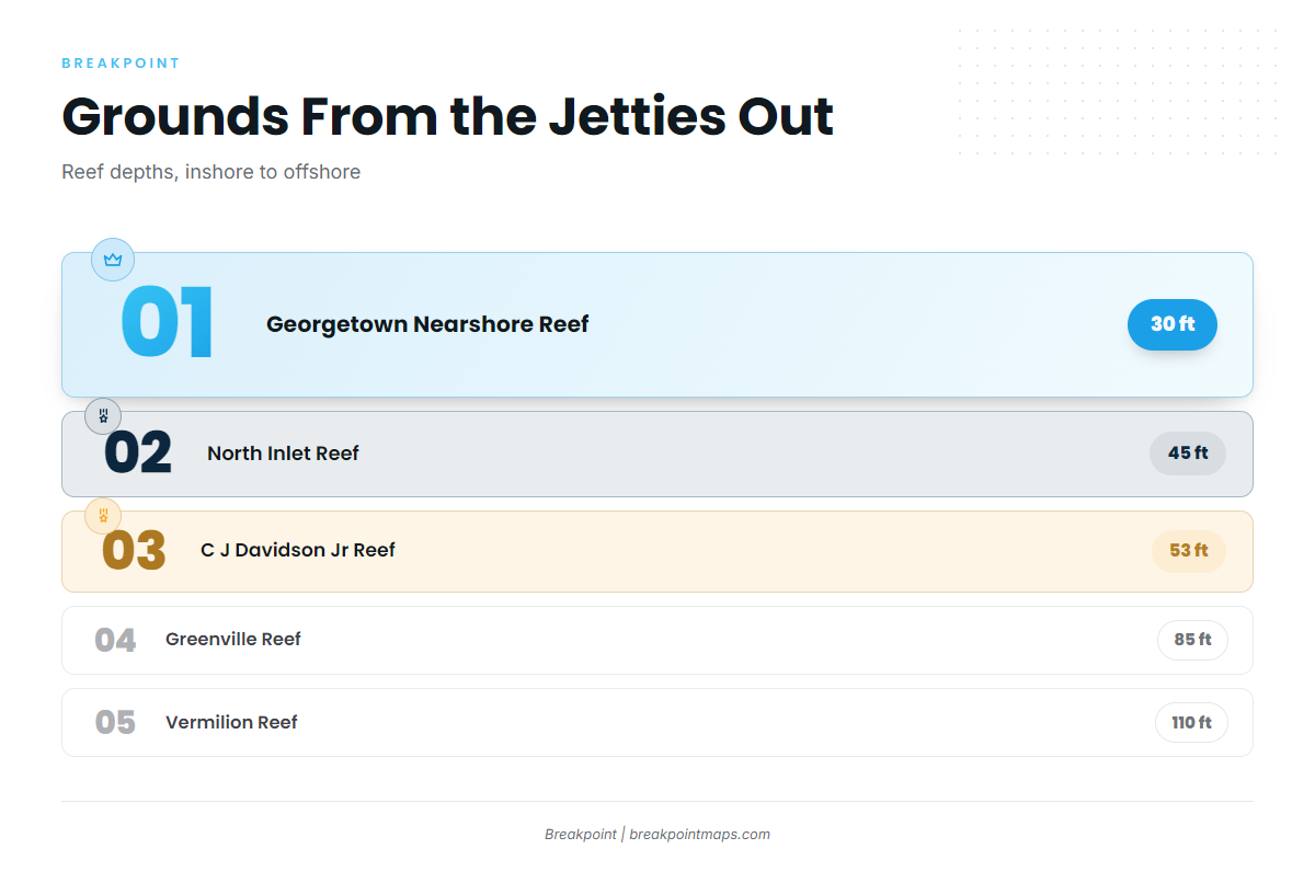
The grounds step out from the jetties across SCDNR artificial reefs and live-bottom ledges toward the shelf break. For the wider region, see our Atlantic Southeast fishing guide.
- Winyah Bay jetties
- Georgetown Nearshore Reef – 2.7 nm from the entrance, 30 ft
- Georgetown Reef – 7.6 nm from the entrance
- North Inlet Reef – 45 ft
- C J Davidson Jr Reef – 53 ft
- Greenville Reef – 85 ft
- Pawleys Island Reef
- Cape Romain Reef
- Vermilion Reef – 27.5 nm from the entrance, 110 ft
- Georgetown Hole – shelf-break ground
OBS SST and Chlorophyll show where the temperature and color edges sit before you commit to the run past the Georgetown Hole. Chart Contours help place the ledges between the reefs. Chart layers are not for navigation.
Winter
Speckled trout, redfish and black drum hold in the bay. Bottom fishing continues offshore, and federal shallow-water grouper rules change by season. Check the SCDNR saltwater fishing regulations and NOAA Fisheries before you fish.
Spring
Speckled trout, redfish, black drum, sheepshead and Spanish mackerel work the bay and nearshore water. Cobia can show nearshore. The SCDNR Red Snapper Project is set each year, so check SCDNR for its terms.
Summer
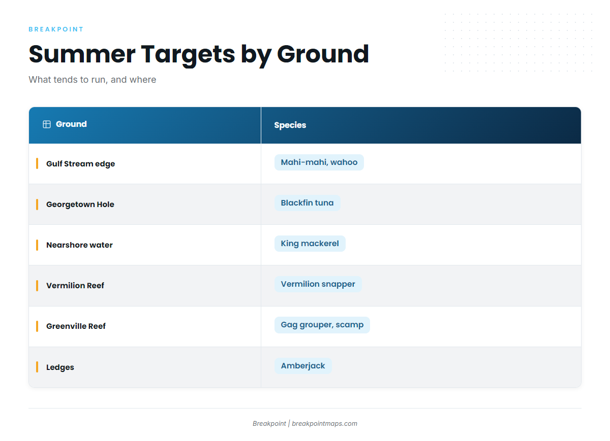
Mahi-mahi, wahoo, blackfin tuna and king mackerel run toward the Gulf Stream edge and the Georgetown Hole. Vermilion snapper, gag grouper, scamp and amberjack hold on Vermilion Reef, Greenville Reef and the ledges.
Our blue marlin fishing guide covers the marlin side, and our sailfish fishing guide covers sailfish.
Autumn
Bull redfish gather around the jetties. King mackerel, Spanish mackerel and false albacore work the nearshore water. Sailfish and blue marlin still pass the edge. See blue marlin off the Atlantic Southeast and the Atlantic Southeast sailfish guide.