Blueline tilefish fishing out of Murrells Inlet means a 70 to 80 mile run to the shelf edge and drops in about 400 to 900 ft. At that depth the local method is deep drop with electric reels. This guide covers the route from the nearshore reefs to the edge, where bluelines sit relative to goldens, and who fishes them from this port. The wider picture is in the blueline tilefish fishing in the Atlantic Southeast and the Atlantic Southeast region guide.
When bluelines are around Murrells Inlet
Trips run seasonally. For range, biology and depth background, see the blueline tilefish species guide. At this port, the length of the run is the main planning factor.
The run: 70 to 80 miles to the shelf edge
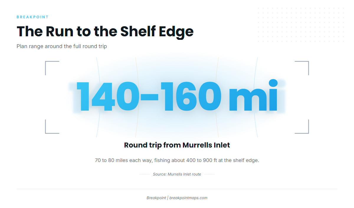
The shelf edge is a long way out of Murrells Inlet, and fuel, range and weather along the route shape every trip.
Distance and depth
The shelf edge sits 70 to 80 miles out, and you fish about 400 to 900 ft. That makes a 140 to 160 mile round trip before any running on the grounds, so plan fuel and range around the full distance.
Bluelines versus goldens on the ledges
Bluelines hold a bit shallower on the ledges than goldens. When bluelines are the target, work the shallower part of the ledge first.
Reading the numbers before you go
Check wind speed, wave height and wave period for the offshore waters along the whole 70 to 80 mile route, not only at the inlet. The National Weather Service offshore marine forecast has the numbers. Compare them to what your boat and crew are set up to handle.
Grounds and structure on the way out
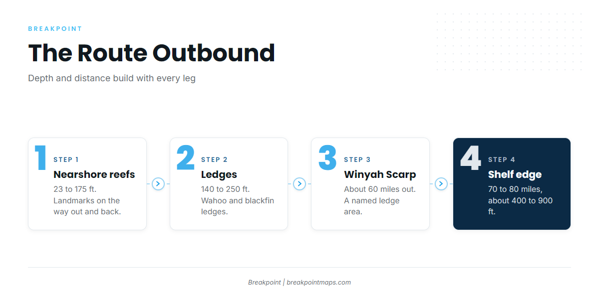
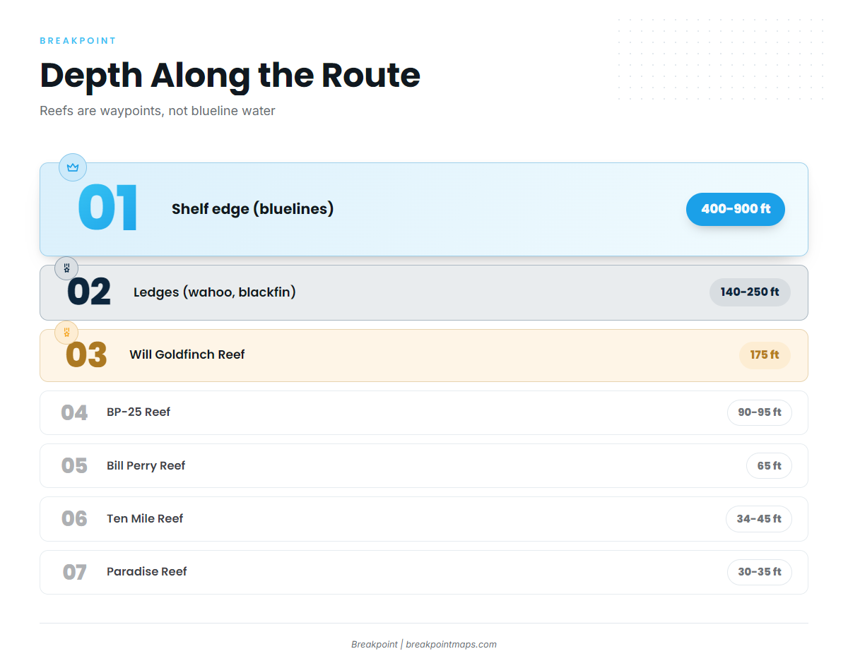
The named reefs sit at 23 to 175 ft, far shallower than the about 400 to 900 ft where bluelines are fished. Treat them as landmarks on the run rather than blueline water.
| Name | Depth | Marking / notes |
|---|---|---|
| Paradise Reef (with H.P. Springs Jr. and other add-on reefs) | 30 to 35 ft | Two buoys |
| Ten Mile Reef | 34 to 45 ft | Two buoys |
| Pawley’s Island Reef | 23 to 35 ft | One buoy; bearing 177 degrees, 5.5 nm from the south jetty |
| Bill Perry Reef | 65 ft | One buoy |
| BP-25 Reef | 90 to 95 ft | Unmarked 160 ft ship |
| Will Goldfinch Reef | 175 ft ship (YO-225) | 33 17.005 N / 078 45.372 W |
Nearshore reefs as waypoints
The reefs serve as reference points on the way out and back. Paradise Reef, Ten Mile Reef, Pawley’s Island Reef and Bill Perry Reef are buoyed. BP-25 is unmarked, so save its position in the plotter. Will Goldfinch Reef is the YO-225 ship at 33 17.005 N / 078 45.372 W. Chart layers are not for navigation.
The 140 to 250 ft ledges
The wahoo and blackfin ledges sit at 140 to 250 ft. Many local owners already fish them. They fall midway in depth along the route, still well short of blueline depth.
Winyah Scarp area
The Winyah Scarp area, about 60 miles out, is a named ledge on the route offshore.
The shelf edge
The run ends at 70 to 80 miles and about 400 to 900 ft, and this is where the blueline fishing happens. The Chart Contours layer in Breakpoint helps you find the ledge break between about 400 and 900 ft and its shallower side. Chart layers are not for navigation.
How bluelines are fished out of Murrells Inlet
At this port the method follows from the depth, and the local fleet is small.
Deep drop with electric reels
At about 400 to 900 ft, the local method is deep drop with electric reels. Each drop and retrieve covers several hundred feet, which is why electric reels are standard here. Rigs, weights and reel setup are covered in the deep-drop technique guides.
Who fishes them from this port
Myrtle Beach Sport Fishing lists blueline tilefish and runs two boats.
FAQ about blueline tilefish out of Murrells Inlet
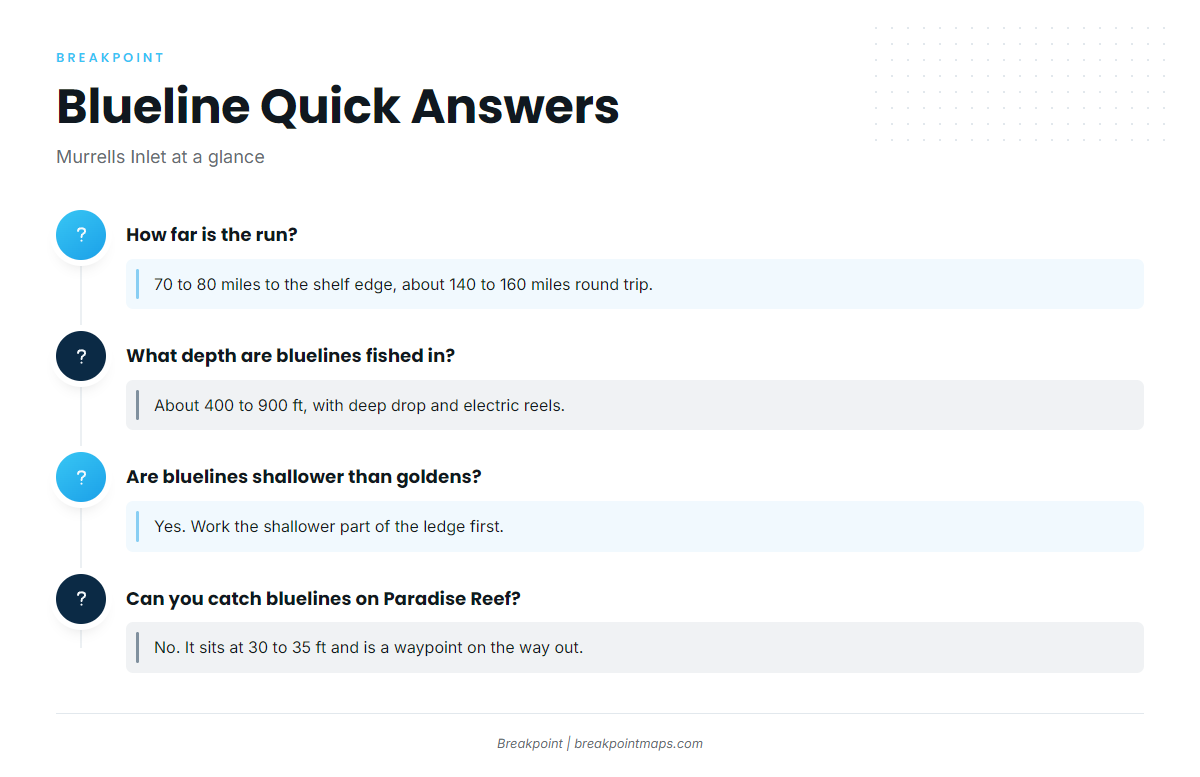
How far is the run for blueline tilefish out of Murrells Inlet?
For blueline tilefish fishing out of Murrells Inlet, the run is 70 to 80 miles to the shelf edge, about 140 to 160 miles round trip.
What depth are bluelines fished in?
About 400 to 900 ft. The local method is deep drop with electric reels.
Are bluelines shallower than goldens?
Yes. Bluelines hold a bit shallower on the ledges than goldens, so work the shallower part of the ledge first.
Can you catch bluelines on Paradise Reef?
No. Paradise Reef is 30 to 35 ft, and bluelines are fished at about 400 to 900 ft. It is a waypoint on the way out.
What is Winyah Scarp?
A named ledge area about 60 miles out, on the route toward the shelf edge.
Who runs blueline trips from here?
Myrtle Beach Sport Fishing lists blueline tilefish and runs two boats.