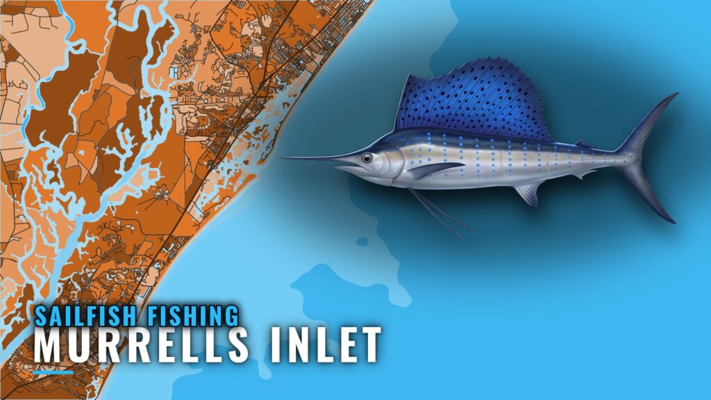
Sailfish out of Murrells Inlet are caught by trolling in the Gulf Stream, and Marlin Quay’s 12-hour trip runs 55 to 65 miles to reach it. Below are the run, the structure you cross on the way out, how the fish are worked, and who runs the trips. Launch and port details are in the Murrells Inlet port guide.
The run to the Gulf Stream
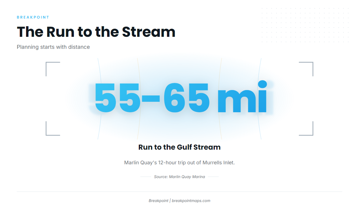
The run is the main planning decision: 55 to 65 miles each way before a line goes in the water. The figures below come from the trips that list sailfish out of this port.
| Item | Detail |
|---|---|
| Marlin Quay Marina 12-hour trip | Gulf Stream, 55 to 65 miles offshore |
| Reel Myrtle Beach 12-hour trip | Gulfstream trolling, sailfish listed |
| Winyah Scarp | Ledge area, about 60 miles out |
How far boats run
Marlin Quay’s 12-hour trip runs 55 to 65 miles to the Gulf Stream. Reel Myrtle Beach lists sailfish on its 12-hour Gulfstream trolling trip. Check the official marine forecast for wind speed, wave height and period before committing to a run of that length.
Winyah Scarp
Winyah Scarp is a ledge area about 60 miles out, which puts it inside the same 55 to 65 mile band as the Gulf Stream run. Chart Contours shows the ledge line. Chart layers are not for navigation.
Timing
Sailfish follow warm Gulf Stream water. The species guide covers temperature and seasonal behavior, and the Atlantic Southeast sailfish guide (see also the Atlantic Southeast region guide) gives the broader seasonal and regional picture.
Grounds and structure between the inlet and the Stream
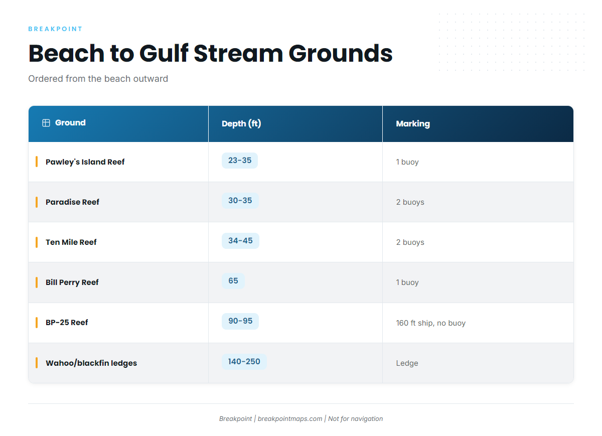
The table runs from the beach outward, starting with Pawley’s Island Reef at 177 degrees, 5.5 nm from the south jetty. It lists the structure you cross or pass on the way and makes no claim about which species each ground holds.
| Ground | Depth (ft) | Marking / position |
|---|---|---|
| Pawley’s Island Reef | 23 to 35 | One buoy. 177 degrees, 5.5 nm from the south jetty |
| Paradise Reef (with H.P. Springs Jr. and add-on reefs) | 30 to 35 | Two buoys |
| Ten Mile Reef | 34 to 45 | Two buoys |
| Bill Perry Reef | 65 | One buoy |
| BP-25 Reef | 90 to 95 | Unmarked 160 ft ship |
| Will Goldfinch Reef | – | 175 ft ship YO-225 at 33 17.005 N / 078 45.372 W |
| Wahoo and blackfin ledges | 140 to 250 | – |
| Winyah Scarp (ledge) | – | About 60 miles out |
BP-25’s 160 ft ship carries no buoy, and Will Goldfinch is marked only by coordinates. Positions and chart layers are not for navigation; use official charts.
How sailfish fishing out of Murrells Inlet is done
Sailfish here are fished by trolling on the 12-hour Gulf Stream trips. For spreads and baits, see our billfish fishing guides.
Who fishes for sailfish out of Murrells Inlet
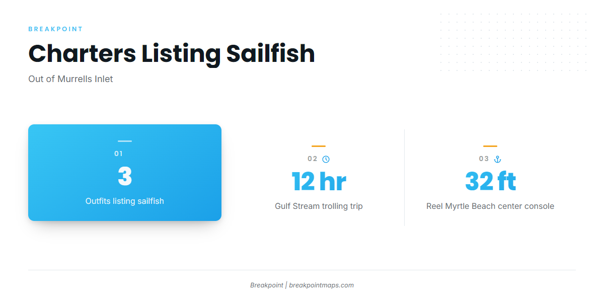
The format is the 12-hour trip, and three outfits list sailfish.
Marlin Quay Marina
The fleet menu lists Carolina Fly and Grand Slam. The 12-hour trip runs 55 to 65 miles to the Gulf Stream.
Reel Myrtle Beach Fishing Charters
Captain Matt runs a 32 ft center console. The listed departure point is Murrells Inlet Marina, and sailfish are listed on the 12-hour Gulfstream trolling trip.
Salty Hooker Fishing Charters
The outfit lists sailfish and has a captains page. Visit the Salty Hooker Fishing Charters site to check the listing and contact the outfit.
FAQ about sailfish fishing out of Murrells Inlet
How far is the Gulf Stream from Murrells Inlet?
Boats run 55 to 65 miles to the Gulf Stream on Marlin Quay’s 12-hour trip.
Where is Winyah Scarp?
A ledge area about 60 miles out from Murrells Inlet.
How are sailfish fished here?
By trolling on 12-hour Gulf Stream trips.
Which charters list sailfish?
Marlin Quay Marina (Carolina Fly, Grand Slam), Reel Myrtle Beach Fishing Charters and Salty Hooker Fishing Charters.
Where does Reel Myrtle Beach depart?
Murrells Inlet Marina, on Captain Matt’s 32 ft center console.