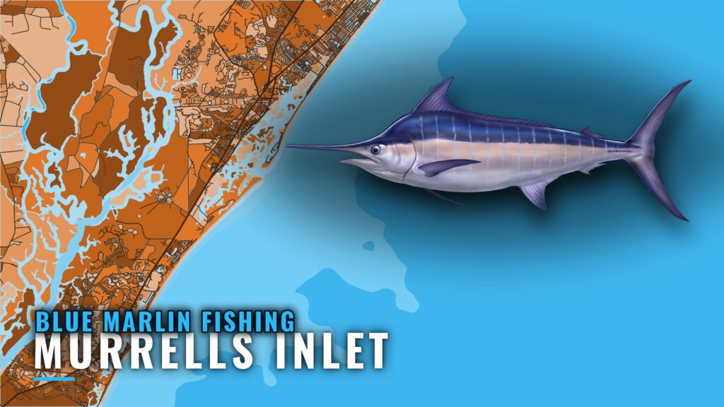
Blue marlin fishing out of Murrells Inlet starts with a 55 to 65 mile run to the Gulf Stream. Blue marlin are an occasional catch off this port, and local trips don’t always say which marlin they mean. This page covers the run, the named reefs, wrecks and ledges you cross on the way out, and how the fishing is done locally. It doesn’t promise fish; it’s meant to help you decide where to look.
When blue marlin show up off Murrells Inlet
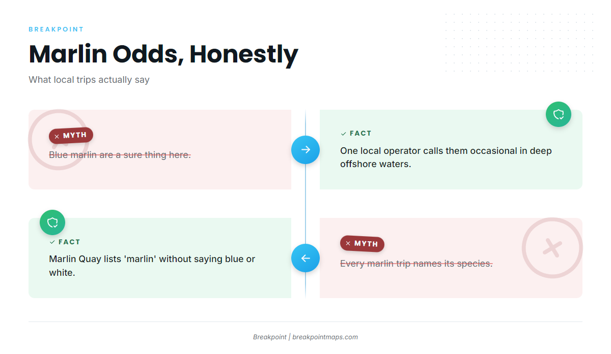
A marlin day from this port is a long Gulf Stream trolling day with an occasional shot at a fish. It is not a numbers fishery. One local operator calls blue and white marlin occasional in deep offshore waters, and Marlin Quay lists "marlin" on its Gulfstream trip without naming the species. That is the realistic baseline for blue marlin fishing out of Murrells Inlet.
Timing and biology are covered in the blue marlin species guide, and the wider coastal picture is in the Atlantic Southeast blue marlin guide (see also the Atlantic Southeast fishing guide). This page stays with what is specific to the port.
What to expect from a marlin day here:
- A long run out and a long run back
- Gulf Stream trolling as the method
- Marlin as an occasional shot, not a given
How far boats run
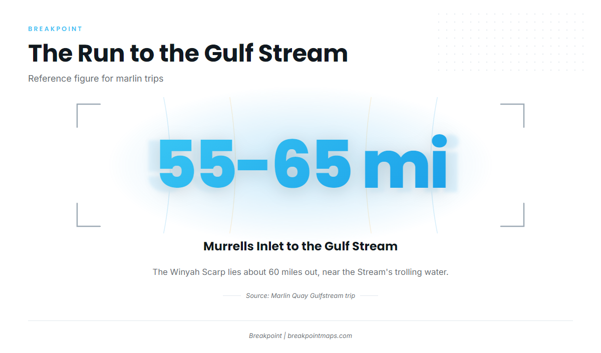
The Gulf Stream trip from this port runs 55 to 65 miles, the range Marlin Quay lists for its Gulfstream trip. The Winyah Scarp lies about 60 miles out, near the offshore end of the run.
Leaving the Murrells Inlet port page behind, the run is a progression in depth. You start over 23 to 45 ft reefs near the jetty, cross 65 to 95 ft reef and wreck sites and 140 to 250 ft ledges, and finish in Gulf Stream water.
| Stage of the run | Depth range | What you cross |
|---|---|---|
| Near the jetty | 23 to 45 ft | Buoyed reefs |
| Mid-run | 65 to 95 ft | Bill Perry Reef, BP-25 Reef |
| Outer shelf | 140 to 250 ft | Wahoo and blackfin ledges |
| Offshore end | – | Winyah Scarp, about 60 miles out |
Base the go or no-go call on wind, wave height and wave period, and read them from the official NOAA marine forecast. Chart layers are not for navigation.
Grounds and structure off Murrells Inlet
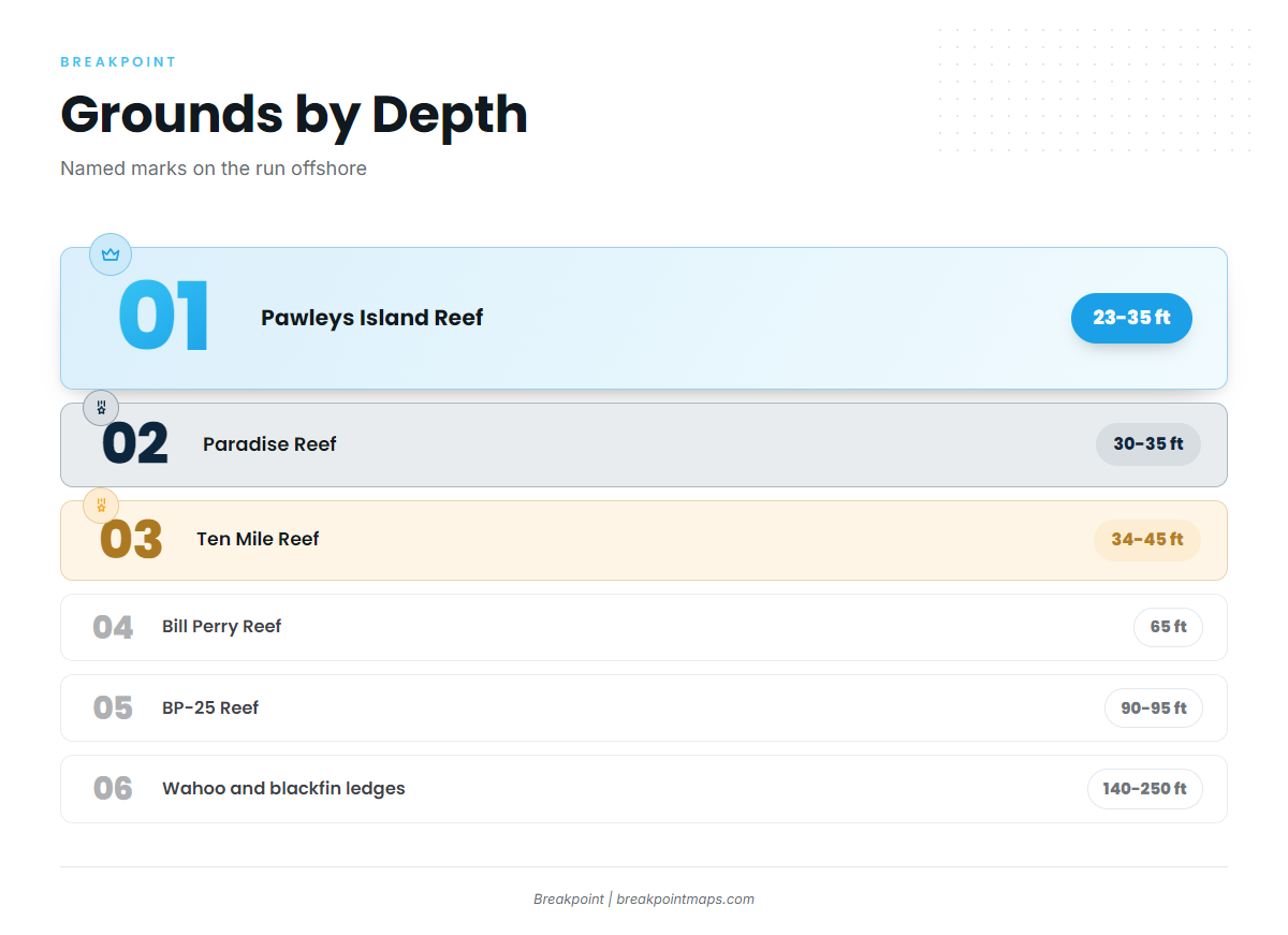
The named grounds run from shallow buoyed reefs near the jetty to unmarked wrecks, deep ledges and the Winyah Scarp. The shallow reefs are waypoints on the way out rather than marlin ground, and nothing here indicates that marlin hold on any reef.
| Ground | Depth (ft) | Marking | Notes (bearing, ship, coordinates) |
|---|---|---|---|
| Pawleys Island Reef | 23 to 35 | 1 buoy | Bearing 177 degrees, 5.5 nm from the south jetty |
| Paradise Reef (with H.P. Springs Jr. and other add-on reefs) | 30 to 35 | 2 buoys | Includes add-on reefs |
| Ten Mile Reef | 34 to 45 | 2 buoys | – |
| Bill Perry Reef | 65 | 1 buoy | – |
| BP-25 Reef | 90 to 95 | Unmarked | 160 ft ship |
| Will Goldfinch Reef | – | – | 175 ft ship (YO-225) at 33 17.005 N / 078 45.372 W |
| Nearshore ledges (wahoo and blackfin ledges) | 140 to 250 | – | Ledge |
| Winyah Scarp | – | – | Ledge, about 60 miles out |
Buoyed nearshore reefs
Pawleys Island Reef sits in 23 to 35 ft with one buoy, on a bearing of 177 degrees and 5.5 nm from the south jetty. Paradise Reef, with H.P. Springs Jr. and other add-on reefs, holds 30 to 35 ft and two buoys. Ten Mile Reef runs 34 to 45 ft with two buoys, and Bill Perry Reef lies in 65 ft with one buoy. All four are named marks on the way out.
Deeper wrecks
BP-25 Reef is a 160 ft ship in 90 to 95 ft of water. Unlike the buoyed reefs, it carries no buoy. Will Goldfinch Reef is a 175 ft ship, YO-225, at 33 17.005 N / 078 45.372 W.
Ledges and the Winyah Scarp
The wahoo and blackfin ledges sit in 140 to 250 ft. The Winyah Scarp ledge area lies about 60 miles out, at the offshore end of the run near the Gulf Stream trolling water. The named reefs and ledges show clearly against the Chart Contours layer.
How marlin are fished from this port and who fishes them
The local method is Gulf Stream trolling: you run out to the Stream and troll. For how billfish spreads and methods work in general, including white marlin that show up alongside blues, see our billfish guides.
Who targets marlin here
Marlin Quay lists "marlin" on its 55 to 65 mile Gulfstream trip without naming the species, and one local operator calls blue and white marlin occasional in deep offshore waters. Both describe long Gulf Stream trolling days.
Who is out there:
- Charter operations such as Marlin Quay run Gulf Stream trips that list marlin
- Private offshore crews make the same 55 to 65 mile run
- Both approach it as Gulf Stream trolling
FAQ
How far is the Gulf Stream from Murrells Inlet?
55 to 65 miles, the range Marlin Quay lists for its Gulfstream trip.
Are blue marlin common off Murrells Inlet?
No. One local operator calls blue and white marlin occasional in deep offshore waters.
Is it blue or white marlin?
One operator calls both occasional. Marlin Quay’s Gulfstream trip lists "marlin" without naming the species.
How far out is the Winyah Scarp?
About 60 miles. It is a ledge area near the Gulf Stream end of the run.
Where is the Will Goldfinch Reef?
It is a 175 ft ship, YO-225, at 33 17.005 N / 078 45.372 W.
Is there a NOAA buoy for Murrells Inlet?
No NOAA buoy is named for this port. Read wind, wave height and period from the official NOAA marine forecast.