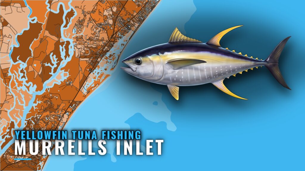
The Gulf Stream run from Murrells Inlet is 55 to 65 miles, and offshore trolling is how the trip is fished. Boats going after yellowfin tuna head east past the reefs and ledges of the southern Grand Strand, with the structure stepping down in depth along the way. This page covers distance, structure by depth, method, who runs it, and the rules.
When yellowfin are off Murrells Inlet and how far boats run
Timing depends on the species, and distance depends on the port.
Timing
Seasonality and biology are covered in the species guide on yellowfin tuna seasonality and biology. Before committing to the run, check OBS SST to see where the warm Gulf Stream water sits.
The run: 55 to 65 miles
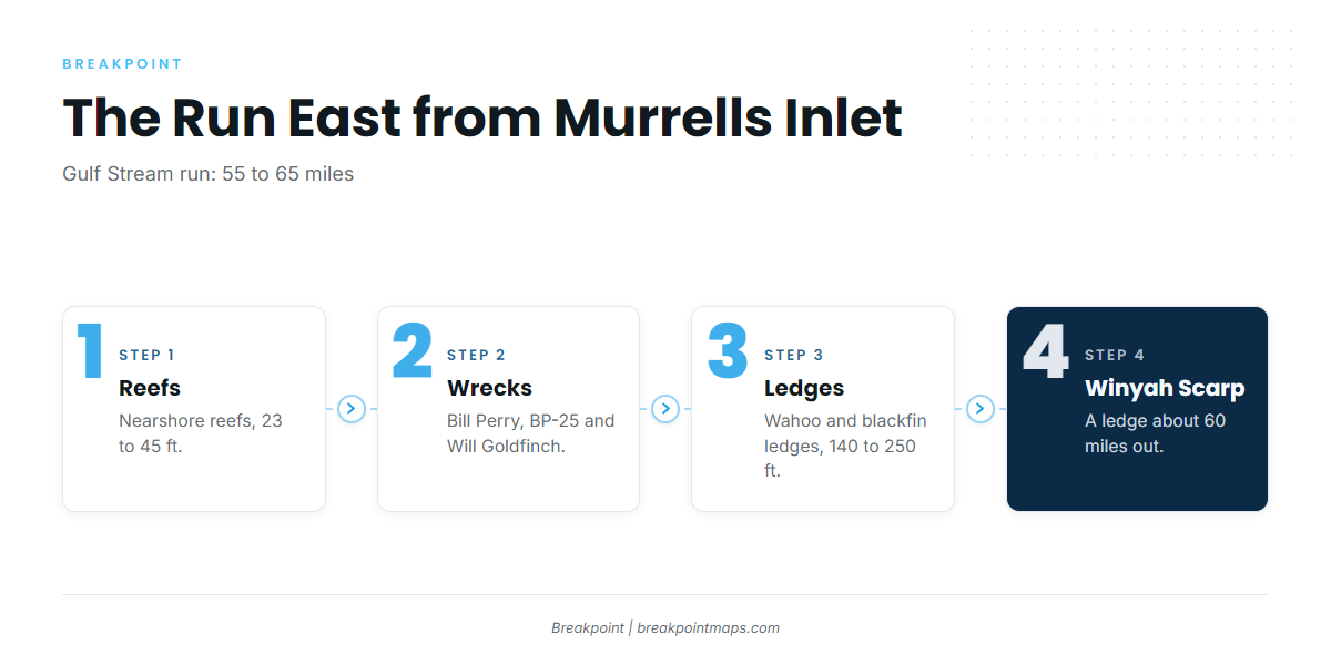
The run crosses the reefs and ledges listed below, and the Winyah Scarp sits about 60 miles out. Check the official marine forecast for wind, wave height and period before leaving the dock.
Key numbers for the run:
- 55 to 65 miles to the Gulf Stream
- About 60 miles to the Winyah Scarp area
- 23 to 250 ft of depth steps between the jetties and the ledges
Grounds and structure between the jetties and the Gulf Stream
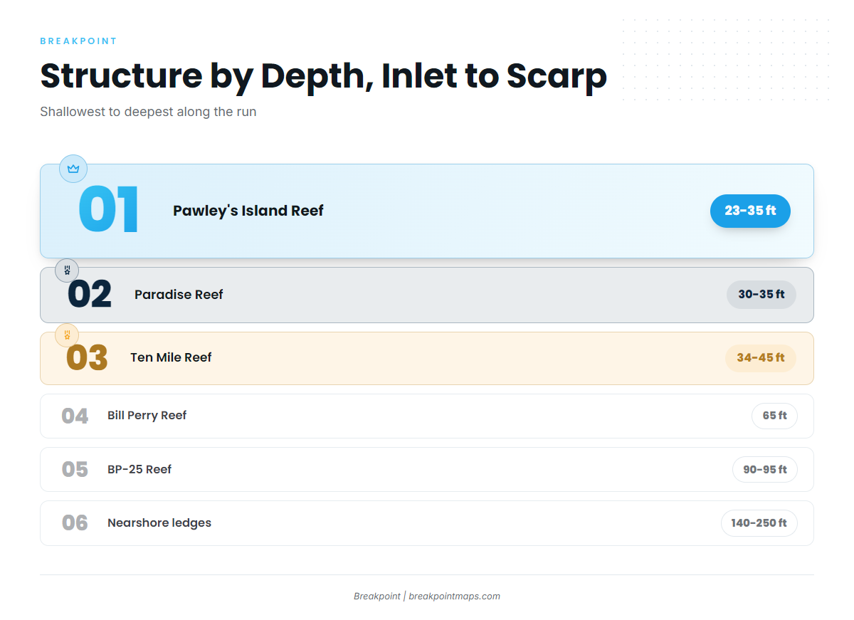
Running east from Murrells Inlet, the structure steps down from 23 ft reefs to 140 to 250 ft ledges before the Winyah Scarp at about 60 miles. Lay the reef positions over Chart Contours to see the depth steps along the run. Chart layers are not for navigation.
| Name | Depth (ft) | Marking | Position notes |
|---|---|---|---|
| Pawley’s Island Reef | 23 to 35 | 1 buoy | 177 degrees, 5.5 nm from the south jetty |
| Paradise Reef (with H.P. Springs Jr. and other add-on reefs) | 30 to 35 | 2 buoys | – |
| Ten Mile Reef | 34 to 45 | 2 buoys | – |
| Bill Perry Reef | 65 | 1 buoy | – |
| BP-25 Reef | 90 to 95 | Unmarked | 160 ft ship |
| Will Goldfinch Reef | – | – | 175 ft ship (YO-225), 33 17.005 N / 078 45.372 W |
| Nearshore ledges (wahoo and blackfin ledges) | 140 to 250 | – | – |
| Winyah Scarp area (ledge) | – | – | About 60 miles out |
Nearshore reefs
Pawley’s Island Reef is the shallowest step, in 23 to 35 ft with 1 buoy, on a bearing of 177 degrees, 5.5 nm from the south jetty. Paradise Reef sits in 30 to 35 ft with 2 buoys, and H.P. Springs Jr. and other add-on reefs belong to the same complex. Ten Mile Reef runs 34 to 45 ft, also with 2 buoys. These are the first depth steps on the run.
Deeper wrecks: BP-25 and Will Goldfinch
Bill Perry Reef, in 65 ft with 1 buoy, bridges the nearshore reefs and the wrecks. BP-25 is an unmarked 160 ft ship in 90 to 95 ft, so finding it depends on a waypoint rather than a buoy. Will Goldfinch Reef is a 175 ft ship, YO-225, at 33 17.005 N / 078 45.372 W.
The ledges at 140 to 250 ft
The nearshore ledges in 140 to 250 ft are known as the wahoo and blackfin ledges.
Winyah Scarp
The Winyah Scarp area is a ledge about 60 miles out, inside the 55 to 65 mile Gulf Stream window.
How yellowfin are fished from Murrells Inlet
Offshore trolling is the method on yellowfin trips out of Murrells Inlet. The regional picture is in the guide to trolling for yellowfin in the Atlantic Southeast (see also the Atlantic Southeast offshore fishing guide).
Who fishes for yellowfin from this port
Marlin Quay runs a 55 to 65 mile Gulfstream trip that lists "tuna." Private boats make the same run.
FAQ about yellowfin tuna out of Murrells Inlet
How far is the Gulf Stream from Murrells Inlet?
The run is 55 to 65 miles. The Winyah Scarp sits about 60 miles out.
What is the Winyah Scarp?
It is a ledge area about 60 miles out from Murrells Inlet, inside the Gulf Stream range of the run.
Where is Will Goldfinch Reef?
Will Goldfinch Reef is a 175 ft ship, YO-225, at 33 17.005 N / 078 45.372 W.
Is there a NOAA buoy for Murrells Inlet?
None is named for the port. Check the official marine forecast for wind, wave height and period before the run.
What method is used for yellowfin out of Murrells Inlet?
Offshore trolling.
Does Marlin Quay’s Gulfstream trip target yellowfin?
The 55 to 65 mile Gulfstream trip lists "tuna" without naming the species. For help with telling the Atlantic tunas apart, start with the tuna species resource.