When White Marlin Are Off Murrells Inlet
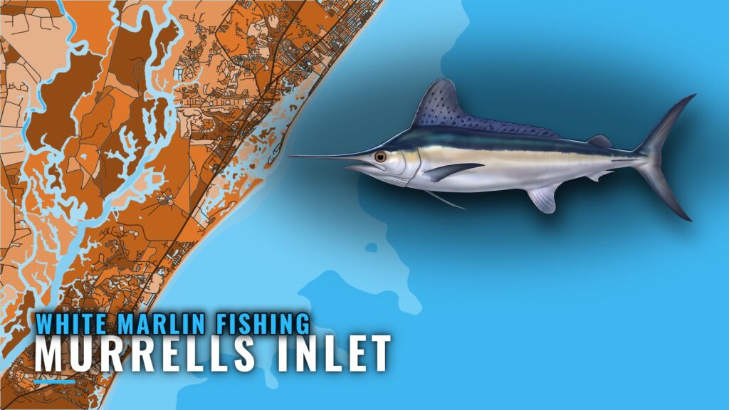
White marlin fishing out of Murrells Inlet is Gulf Stream trolling. You run past the marked inshore reefs, cross the 140-250 ft ledges, and fish the blue water beyond, with the Winyah Scarp area about 60 miles out. This guide covers the run from the south jetty to blue water, including distances, depths, markers and the order of the grounds, so you can plan where to look. It does not promise fish.
For inlet, ramp and marina context, see the Murrells Inlet port page. This page covers the water past the jetties.
The evidence for white marlin at this port is thin. Local operators advertise marlin on Gulf Stream trolling trips, and Marlin Quay lists "marlin" without naming a species. White marlin are not reported separately from blue marlin here.
For timing, water temperature and biology, use the white marlin species guide. For the regional picture, read white marlin in the Atlantic Southeast (see also the wider Atlantic Southeast guide).
The port-level data does give you structure and distance, which is where a private-boat plan starts.
The Run and the Grounds
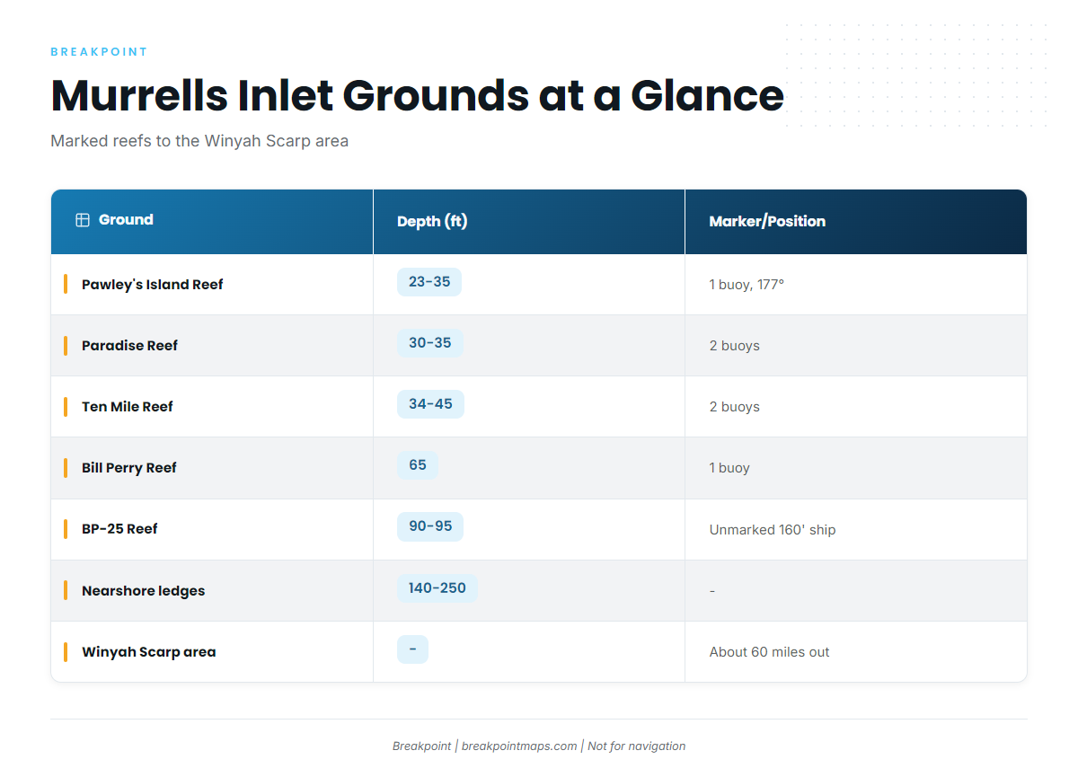
For anyone running their own center console or sportfisher, white marlin fishing out of Murrells Inlet is a range question. The grounds below are listed in the order you meet them: marked reefs, deeper wrecks, the ledges, then the scarp.
| Ground | Depth (ft) | Marker/Position |
|---|---|---|
| Pawley’s Island Reef | 23-35 | 1 buoy; 177°, 5.5 nm from the south jetty |
| Paradise Reef (H.P. Springs Jr. and add-on reefs) | 30-35 | 2 buoys |
| Ten Mile Reef | 34-45 | 2 buoys |
| Bill Perry Reef | 65 | 1 buoy |
| BP-25 Reef | 90-95 | Unmarked 160′ ship |
| Will Goldfinch Reef | – | 175′ ship YO-225, 33 17.005 N / 078 45.372 W |
| Nearshore ledges (wahoo and blackfin ledges) | 140-250 | – |
| Winyah Scarp area | – | About 60 miles out |
Chart layers are not for navigation. Verify every position on an official chart.
Marked Inshore Reefs
Pawley’s Island Reef sits in 23-35 ft with one buoy, on a bearing of 177 degrees, 5.5 nm from the south jetty. Paradise Reef, with H.P. Springs Jr. and the other add-on reefs, sits in 30-35 ft and is marked by two buoys. Ten Mile Reef holds 34-45 ft and also carries two buoys.
Use these as transit and reference marks on the way out, and as possible bait stops. Nothing suggests white marlin hold on 30 ft reefs.
Deeper Wrecks
Bill Perry Reef lies in 65 ft with one buoy. BP-25 Reef holds a 160′ ship in 90-95 ft and is unmarked, so it is a GPS waypoint rather than a visual mark. Will Goldfinch Reef is the 175′ ship YO-225 at 33 17.005 N / 078 45.372 W.
The Ledges at 140-250 Feet
The wahoo and blackfin ledges at 140-250 ft are where the shelf starts to fall toward blue water. For a troller, edges matter because a change in depth and moving water concentrate bait, and bait is what you follow.
In the Breakpoint app, Chart Contours shows the 140-250 ft band, and OBS SST helps you see where Gulf Stream water sits. Chart layers are not for navigation.
Winyah Scarp and the Gulf Stream
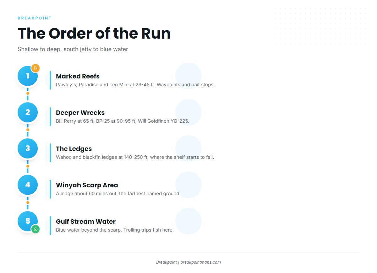
The Winyah Scarp area is a ledge about 60 miles out. It is the farthest named ground on the run and the edge that leads to Gulf Stream water. A run of about 60 miles each way is a range and fuel decision before it is a fishing decision, so plan the trip around what your boat can do.
No NOAA buoy is named for Murrells Inlet. Read the official NWS marine forecast before the run.
How They’re Fished and Who Fishes Them
Local marlin effort centers on one method and a short list of operators.
Gulf Stream Trolling
Marlin here are fished on Gulf Stream trolling trips. The species guide linked above covers spread and bait detail, so this page leaves it there.
Local Operators
Marlin Quay lists "marlin" on its trips without a species, and general offshore operators advertise marlin as well. Blue marlin out of this port rests on the same thin evidence, and the billfish guides cover both species.
FAQ About White Marlin Fishing Out of Murrells Inlet
How far do boats run from Murrells Inlet for white marlin?
The run goes to Gulf Stream water past the 140-250 ft ledges. The Winyah Scarp area is about 60 miles out.
Where is the Winyah Scarp?
It is a ledge area about 60 miles out from Murrells Inlet and the farthest named ground on the run.
How are white marlin fished out of Murrells Inlet?
Gulf Stream trolling is the local method. Trips advertise marlin without separating whites from blues.
Who runs marlin trips from Murrells Inlet?
Marlin Quay lists "marlin" trips without naming a species. General offshore operators also advertise marlin.
Is there a NOAA buoy off Murrells Inlet?
No NOAA buoy is named for Murrells Inlet. Read the official NWS marine forecast before running.
Where are the fishing rules?
Both South Carolina rules and federal Atlantic billfish rules apply. See the Regulations section above and check both before fishing.