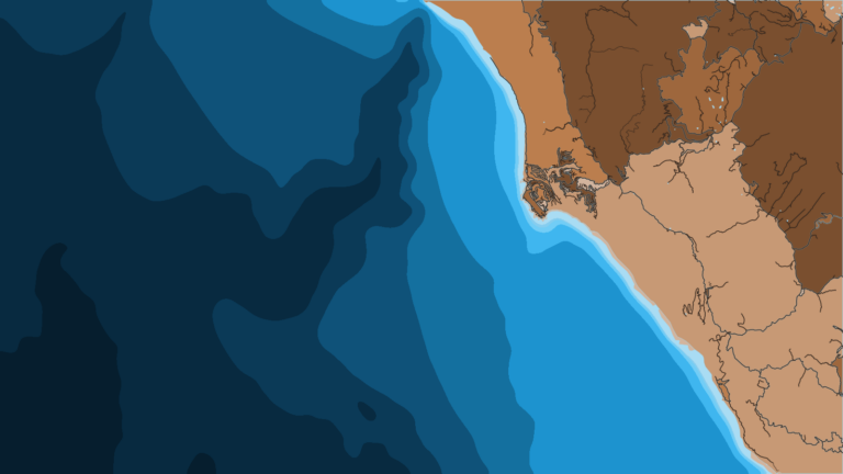
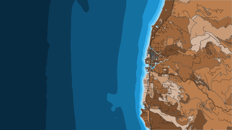
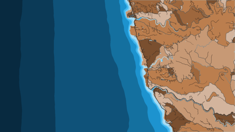
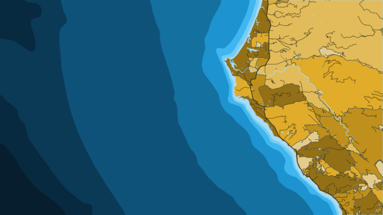
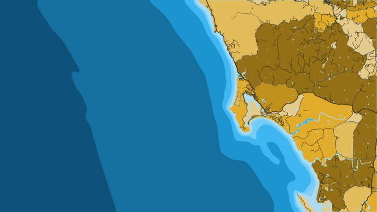
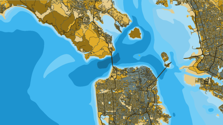
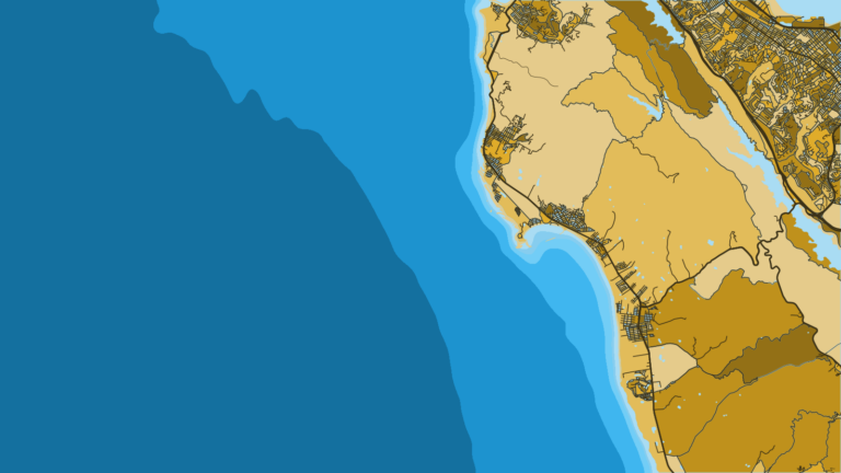
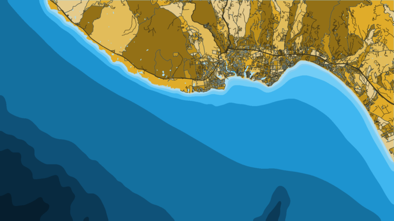
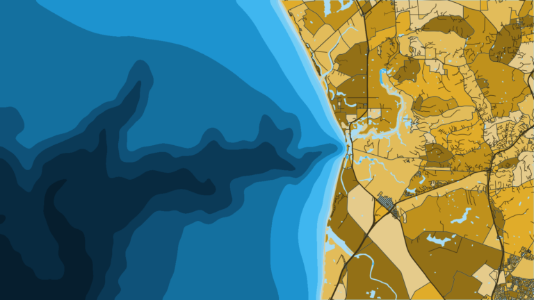
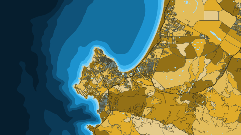
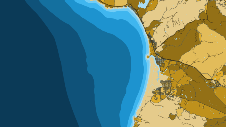
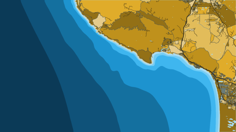
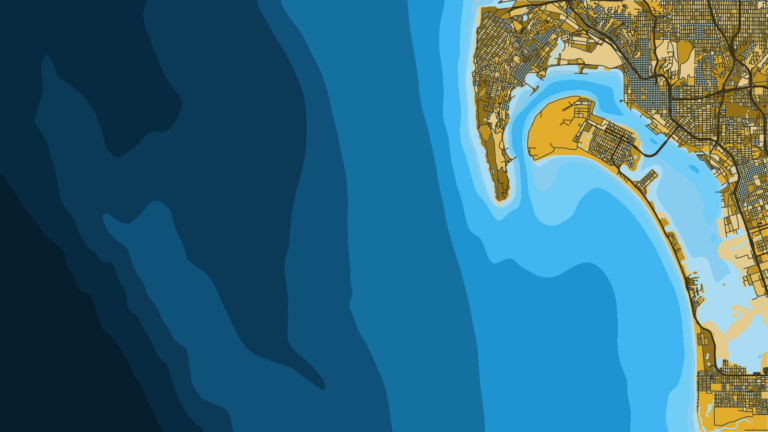
Winter
Offshore
Little offshore pelagic fishing; sablefish and other deep groundfish remain open year-round outside the Groundfish Exclusion Areas
Nearshore
Boat groundfish closed; shore and spear groundfish still allowed




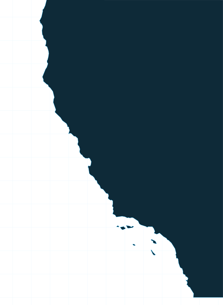
California offshore fishing divides at Point Conception: cold upwelling water to the north, the warm Southern California Bight to the south. California is one of the U.S. coasts we map, from the Oregon line at 42° N to the Mexican border. This page covers how the coast fishes, the ports by stretch, what runs through the year, and where state rules end and federal rules begin.
 By Breakpoint Team
The coast
Point Conception (34°27′ N) is the hinge. North of it, the coast faces the full force of cold upwelling water. South of it, the coastline turns east and forms the sheltered Southern California Bight, where warmer water holds.
The North Coast fishes like southern Oregon, with the same cold water running down the coast. If you also work the Oregon side, our Pacific Northwest fishing guide picks up where this page leaves off. The northern fishery is built on rockfish, lingcod, Pacific halibut and salmon. PFMC and CDFW set the salmon season each year.
South of Point Conception, the Bight and the Channel Islands hold the warm-water fishery, which our Pacific Southwest fishing guide covers in more depth. The pelagic targets are bluefin tuna, yellowfin tuna, yellowtail and dorado, with white seabass and California halibut fishing inside them.
The same latitudes that change the water also divide the groundfish rules. Four lines matter:
Warm-water years push pelagic runs farther north and shift their timing, so where the fish sit in any given week depends on the water more than the calendar.
Ports
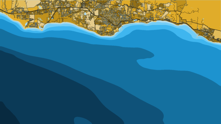
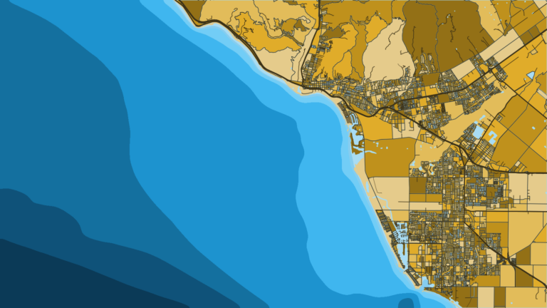
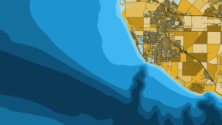
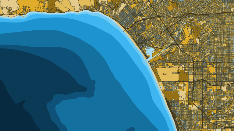
Tap a number on the map, or a stretch below, to zoom in on its ports.
7 ports
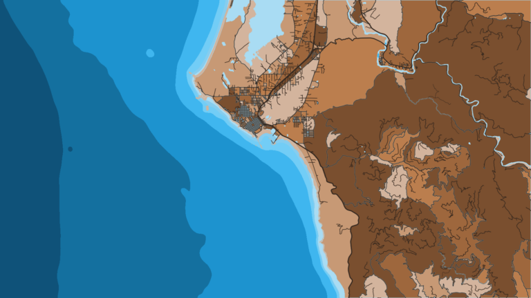
Crescent City, Trinidad and Eureka sit in the Northern Management Area. Shelter Cove south through Point Arena fishes the Mendocino Management Area below Cape Mendocino.
3 ports
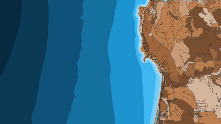
Bodega Bay, San Francisco and Half Moon Bay sit in the San Francisco Management Area, between Point Arena and Pigeon Point.
3 ports
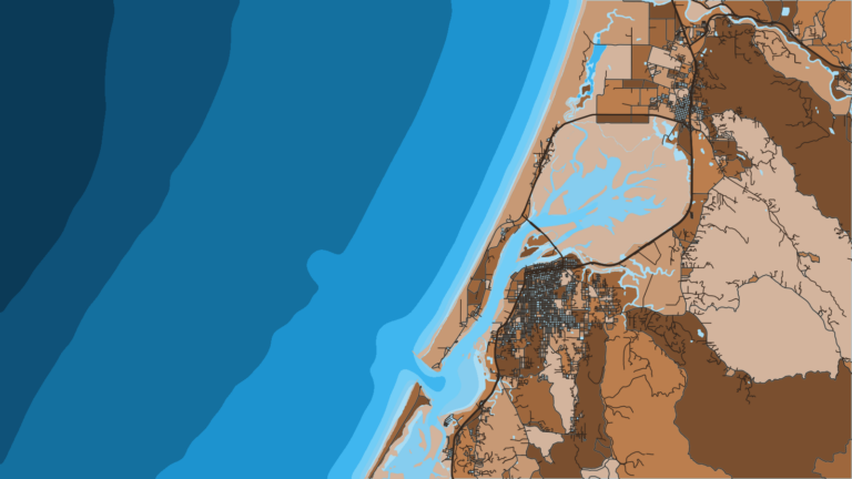
Monterey Bay sits just south of Pigeon Point, in the Central Management Area.
2 ports
Morro Bay and Port San Luis fish the Central Management Area, north of Point Conception.
3 ports
The Southern Management Area begins south of Point Conception, and the Ocean Enhancement Validation applies south of Point Arguello.
5 ports
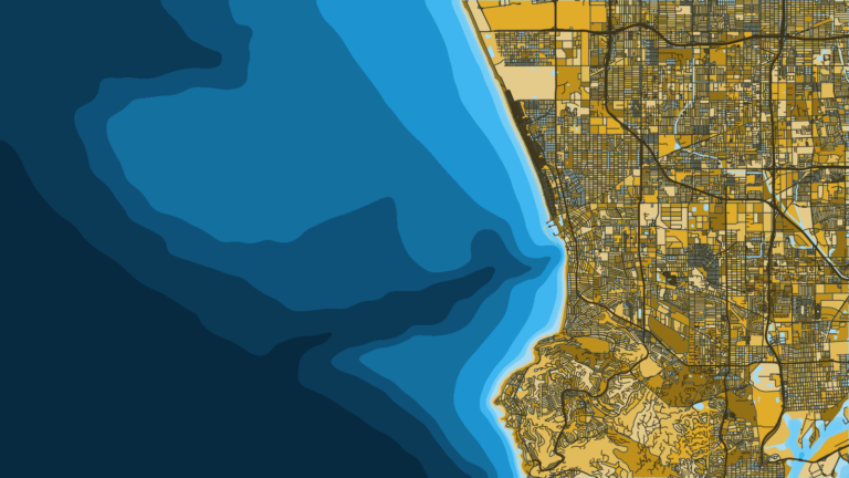
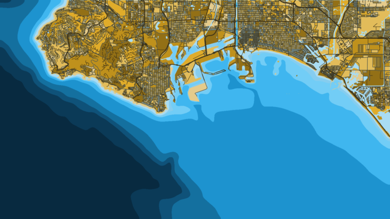
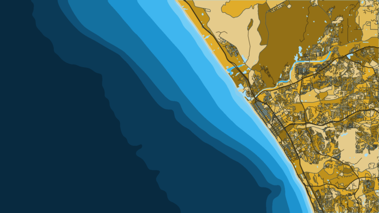
The Los Angeles and Orange County harbors work the warm side of the Bight, with half-day to overnight party boats and private launches.
2 ports
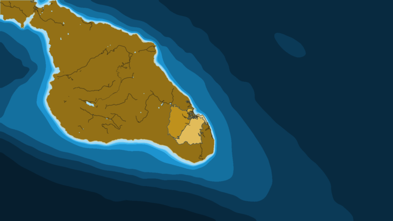
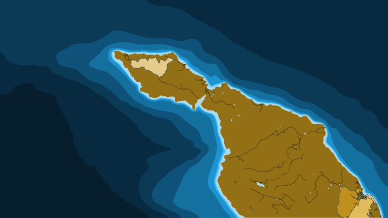
Catalina lies off the mainland inside the Southern Management Area, ringed by MPAs that CDFW maps.
3 ports
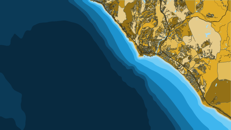
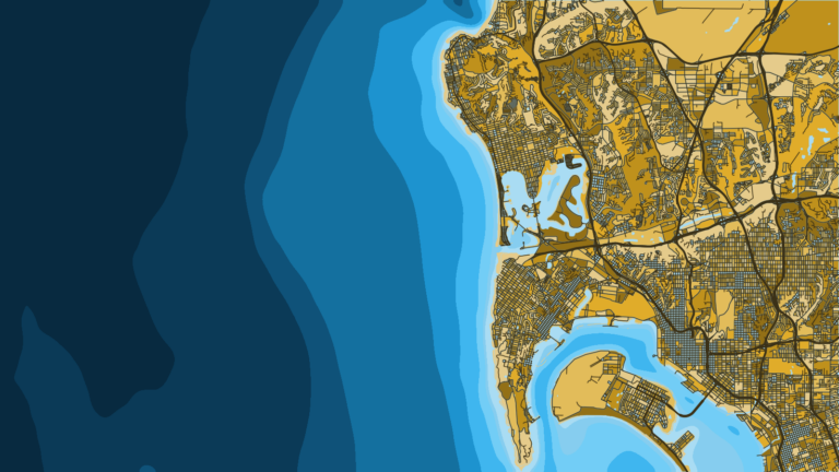
San Diego County is the last stretch before Mexico and the base for long-range trips onto the Mexican banks.
Seasons
What tends to be around each season. Open seasons are covered under Regulations.
Offshore
Little offshore pelagic fishing; sablefish and other deep groundfish remain open year-round outside the Groundfish Exclusion Areas
Nearshore
Boat groundfish closed; shore and spear groundfish still allowed
Offshore
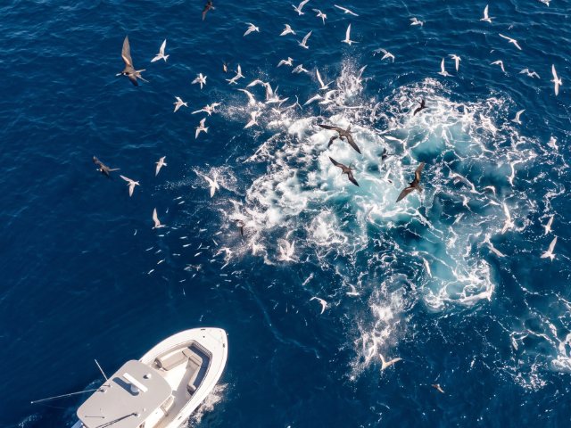
Early yellowtail in the south
Nearshore
Rockfish and lingcod open coast-wide; white seabass and California halibut in the south; Pacific halibut opens
Offshore
Bluefin, yellowfin, yellowtail and dorado in the Bight; the north depends on the water
Nearshore
Rockfish and lingcod; in the south, inside the 50-fathom line only
Offshore
Pelagics peak and fade in the south as the water cools
Nearshore
Rockfish and lingcod in the north; Southern Area changes, so check CDFW
Seasons here follow the water. The table shows a typical pattern, not a forecast.
Boat-based groundfish seasons close January through March in all management areas, per CDFW. Rules can change in-season with at least 10 days’ notice, and the CDFW in-season groundfish changes page carries them.
Party boats run half-day, three-quarter, full-day and overnight trips up and down the coast. San Diego adds multi-day long-range trips. Coronado Islands trips need a passport and a Mexican fishing permit in addition to the California license.
Southern California tournament calendars follow the warm-water offshore season. Clubs and host ports run them, and Avalon and San Diego both sit in that picture. Check each host port and club for its own schedule and rules.
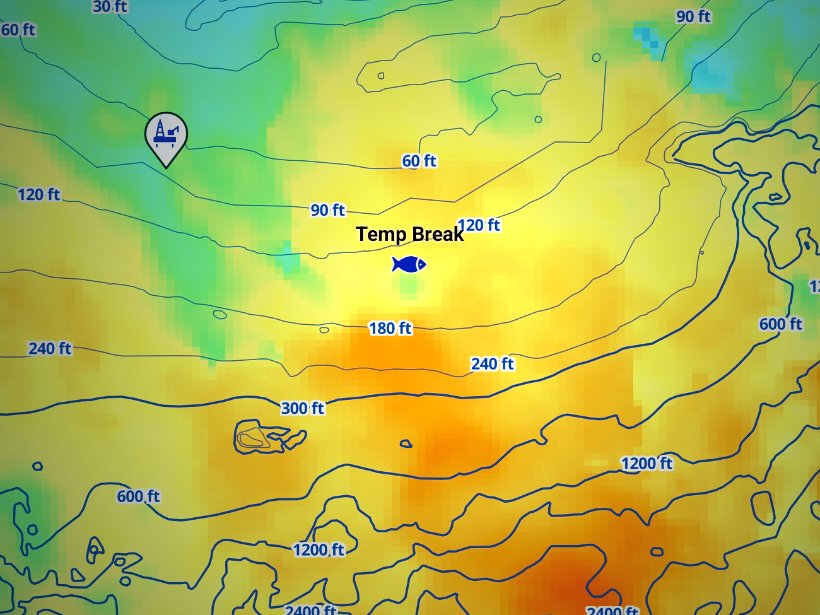
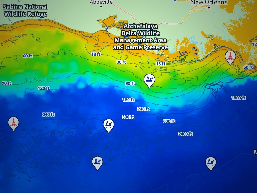
Before you run, check the OBS SST and Chlorophyll layers in Breakpoint to see where the warm water and color breaks sit. Cloud blocks satellite passes, so a gap in the layer is a gap in the data. Chart layers are not for navigation.
Charters and tournaments
Regulations
Start with our California fishing regulations page, then read the official CDFW ocean regulations before every trip. CDFW publishes the state rules, and the figures below come from it:
State waters run from shore to 3 nautical miles. Federal waters run from 3 to 200 nautical miles. NOAA lays out these seaward limits of U.S. law.
| Waters | Distance | Rules set by |
|---|---|---|
| State | 0 to 3 nm | CDFW, with rules adopted by the Fish and Game Commission |
| Federal | 3 to 200 nm | PFMC and NOAA Fisheries West Coast Region, with the IPHC for Pacific halibut |
Federal groundfish bag limits count fish taken in both state and federal waters, and they do not override a stricter state rule. The federal recreational groundfish rules spell this out.
Groundfish rules follow the five management areas named in the port list, which is why the stretch of coast matters.
Pacific halibut is a federal fishery, managed through the IPHC and NOAA, with two subareas split at Point Arena. NOAA publishes the seasons and allocations in an annual Pacific halibut rule. California halibut is a state fish.
Possession rules catch people out. During a closure or in a closed depth, groundfish can stay aboard while you anchor, drift or transit with no gear in the water. It is unlawful to possess groundfish in a management area where take is closed in all waters, even if you caught them legally in another area, so a fish that was legal in one area can become illegal to possess in the next.
Two features are worth knowing. Cordell Bank is closed to all groundfish fishing. The Groundfish Exclusion Areas in the Southern Management Area prohibit groundfish possession and the deployment of groundfish gear.
Gear rules apply too. A descending device must be ready for immediate use on any boat taking federal groundfish. Use one line with no more than 2 hooks when groundfish are aboard.
Anyone 16 or older needs a sport fishing license. The Ocean Enhancement Validation applies south of Point Arguello. Fees change yearly, so check CDFW licensing for the current figures. MPA rules vary by area, and CDFW maps them. Salmon seasons are set each year by PFMC and CDFW, so check CDFW before you plan a trip.
Check our regulations page and CDFW before you fish. To see where the warm water and color breaks sit before you run, download Breakpoint from the App Store or Google Play, or find your port in the state and port guides on breakpointmaps.com.
FAQ
Official answers come from the state wildlife agency and NOAA Fisheries. Check them before you go.
Yes. Anyone 16 or older needs a California sport fishing license on a party boat or charter. South of Point Arguello, you also need the Ocean Enhancement Validation unless you fish on a 1- or 2-day license. The exceptions are public piers and CDFW free fishing days.
Federal water starts 3 nautical miles from shore and runs to 200. CDFW rules govern inside the line, and PFMC and NOAA rules govern outside it. Federal groundfish bag limits count fish from both.
It is an add-on to the sport fishing license, required to fish ocean waters south of Point Arguello in Santa Barbara County. CDFW sets the fee and publishes it on its licensing page.
Yes. Coronado Islands trips need a passport or passport card and a Mexican fishing permit, in addition to your California paperwork. Long-range boats also fish the Mexican banks.
Boat groundfish fishing is closed January through March in every management area and opens in spring. The Southern Management Area adds depth limits by season; for those, see our regulations page. Rules can change in-season, so check CDFW before you go.
Not always. Take rules vary by MPA, and some allow certain species. Check CDFW’s MPA maps before you fish near one.
Ranked hotspots, live ocean layers and offline maps.
Open Breakpoint