
About Apalachicola
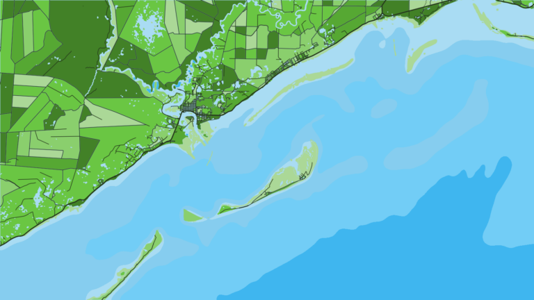
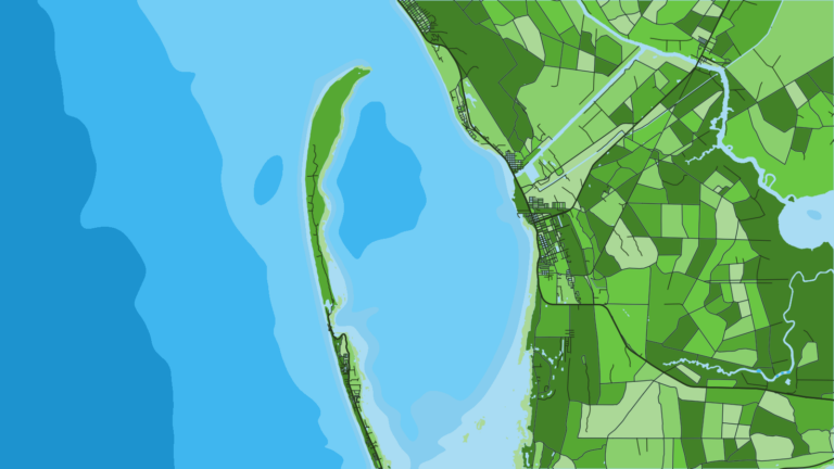
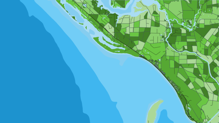
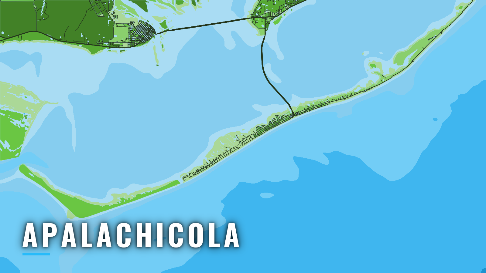
Apalachicola sits on the north shore of Apalachicola Bay, between Port St. Joe to the west and Carrabelle to the east, behind the St. George Island chain. It opens onto Florida’s Gulf coast and the Gulf of America (Gulf of Mexico), which the Gulf of Mexico fishing guide covers in full. After this point, we call it the Gulf. Three routes lead out: Government Cut (Bob Sikes Cut), West Pass, and East Pass via the Intracoastal Waterway. Eastpoint and St. George Island share the bay and its ramps.
The offshore fishery runs year-round and shifts with the seasons. Bottom fish make up the base: gag grouper, red snapper, vermilion snapper and mangrove snapper. King mackerel and cobia move through. The sections below cover where to launch, which way to run, what the Coast Pilot says about each pass, and what the water holds by season.
Access and navigation
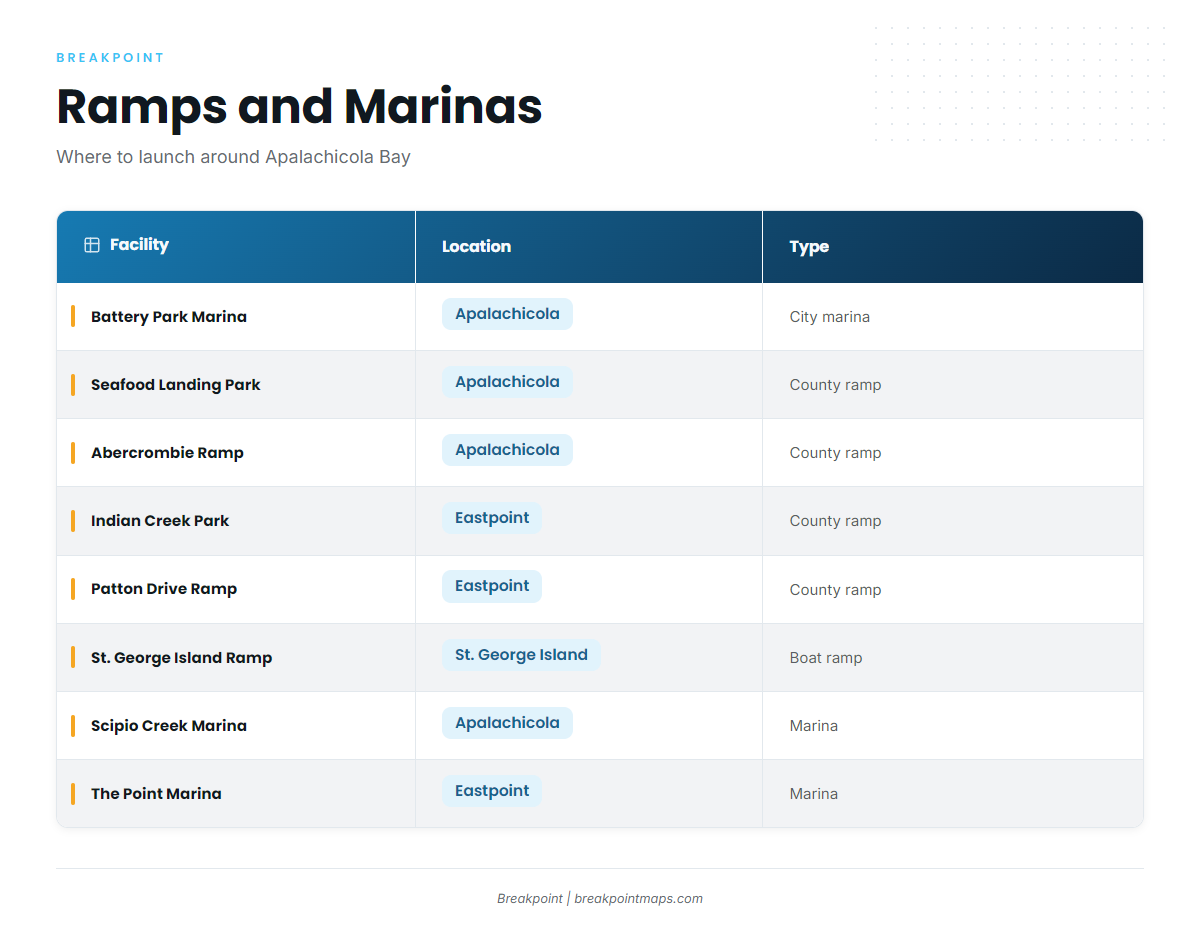
NOAA Chart 11402 covers the bay and its entrances. Public ramps and marinas:
- Battery Park Marina boat ramp – city ramp, downtown Apalachicola, with four double-wide concrete ramps
- Battery Park Marina – city marina, downtown Apalachicola
- Seafood Landing Park & Public Boat Ramp – county ramp, Apalachicola
- Abercrombie Public Boat Ramp – county ramp
- Indian Creek Park & Public Boat Ramp – county ramp, Eastpoint
- Patton Drive Public Boat Ramp – county ramp, Eastpoint
- St. George Island Boat Ramp – ramp, St. George Island
- Scipio Creek Marina – marina, Apalachicola
- Water Street Hotel & Marina – marina, Apalachicola
- The Point Marina & Outfitters – marina, Eastpoint
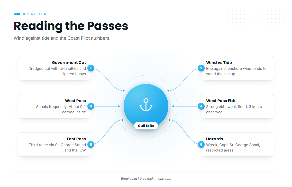
Government Cut (Bob Sikes Cut) is a dredged cut between St. George and Little St. George Islands, with twin jetties and lighted buoys. How it behaves depends mostly on wind against tide. An ebb running out against an onshore wind can stand the sea up short and steep at the jetty ends, while a fair wind with the tide tends to lay it down.
West Pass is the alternative. The Coast Pilot says it shoals frequently and markers may not match the chart. About 9 ft can be carried inside to Apalachicola. Currents follow wind and freshets: the ebb is the strong stream and the flood is generally weak. A current of 3 knots has been observed, and shoals extend more than 3 miles offshore. Both channels join the Intracoastal Waterway about 3.5 miles south of town. A strong ebb against a southerly wind can recreate the Government Cut setup, only stronger.
East Pass is a third route to the east, via St. George Sound and the Intracoastal Waterway.
The NOAA Coast Pilot 5 Chapter 6 lists these hazards:
- A wreck that uncovers lies 1.0 mile southeast of the Government Cut entrance buoys, a position from a 1992 report.
- Cape St. George Shoal extends 11 miles south of the cape.
- A test firing area projects south from Little St. George Island between the Cut and West Pass.
- A Tyndall Air Force Base restricted area lies close west of the Cut.
On arrival, look at the water and read the NWS marine forecast for wind, wave height and period. If conditions look bigger than you want, switch approaches or stay inside.
Fishing conditions
The offshore grounds are mostly Franklin County artificial reefs. Buddy Ward Memorial Reef sits 9 nautical miles from the entrance in 40 ft. Others include K Tower, S Tower, Apalachicola Reef, Yamaha Reef, Empire Mica and Fathom Rock. Natural ledges and hard bottom fill in between.
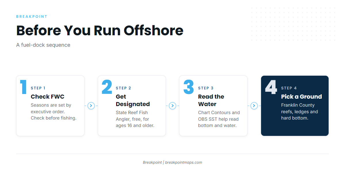
Check the FWC recreational saltwater regulations before fishing. Anglers 16 and older on private vessels need the State Reef Fish Angler designation to keep red snapper, gag grouper, amberjack, gray triggerfish, vermilion snapper and the other listed species. It is free and renews every year. Red snapper, gag and amberjack seasons are set each year by executive order, so FWC holds the dates.
Chart Contours and OBS SST in Breakpoint help you read bottom and water before the run. Chart layers are not for navigation.
| Season | Bottom fish | Fish moving through |
|---|---|---|
| Winter | Mangrove snapper, lane snapper, black sea bass, Key West grunt | None |
| Spring | Gag grouper, lane snapper, mangrove snapper | King mackerel, cobia |
| Summer | Red snapper, grouper, vermilion snapper, mangrove snapper | King mackerel |
| Autumn | Black sea bass, gag grouper | King mackerel, cobia |
Winter
Mangrove snapper, lane snapper, black sea bass and Key West grunt tend to hold on offshore wrecks and ledges as the water cools. The Coast Pilot reports 15 to 20 fronts per winter, each followed by strong north winds. Waves of 8 ft or more occur 5 to 11 percent of the time on open water, mostly in January and February. Most fishing days fall in the gaps between fronts.
Spring
Fog over open water peaks in March, reported up to 6 percent of the time. As the water warms, king mackerel and cobia tend to arrive along the beaches and nearshore structure. Gag grouper, lane snapper and mangrove snapper hold on the bottom. FWC has the current gag status.
Summer
Red snapper draw the most attention, and the red snapper guide covers them. Season dates come from FWC. Vermilion snapper, mangrove snapper and grouper work the reefs, and king mackerel can show over structure.
Autumn
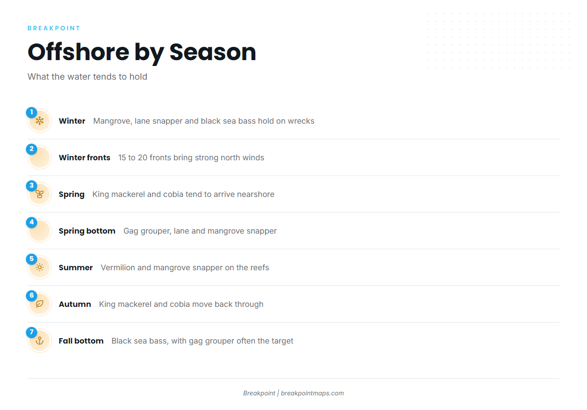
As the water cools, fish move back through. King mackerel in the Gulf run on the fall push, and cobia moving back through follow the same structure. Black sea bass hold on the bottom, and gag grouper tend to be the fall bottom target. FWC has the dates.