
About Steinhatchee
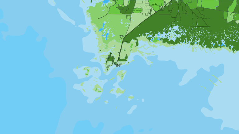
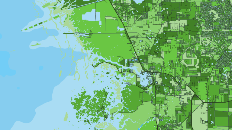
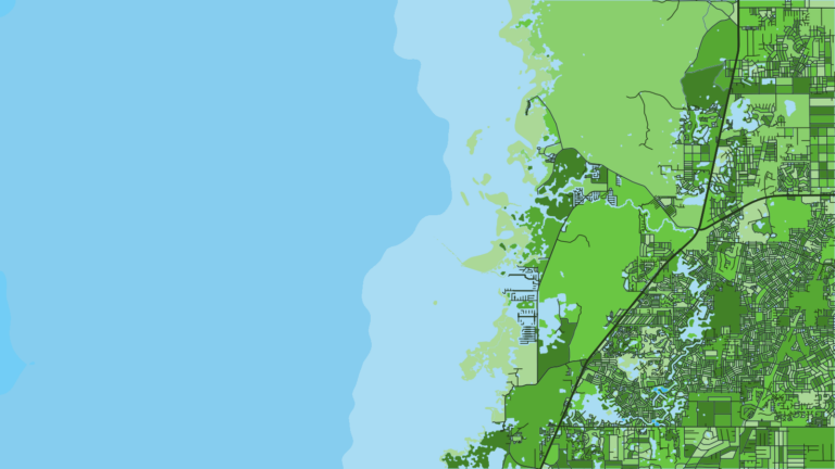
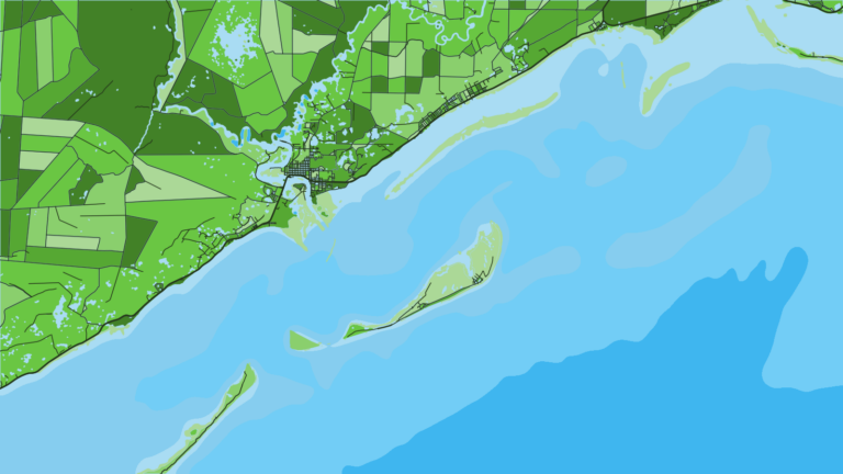
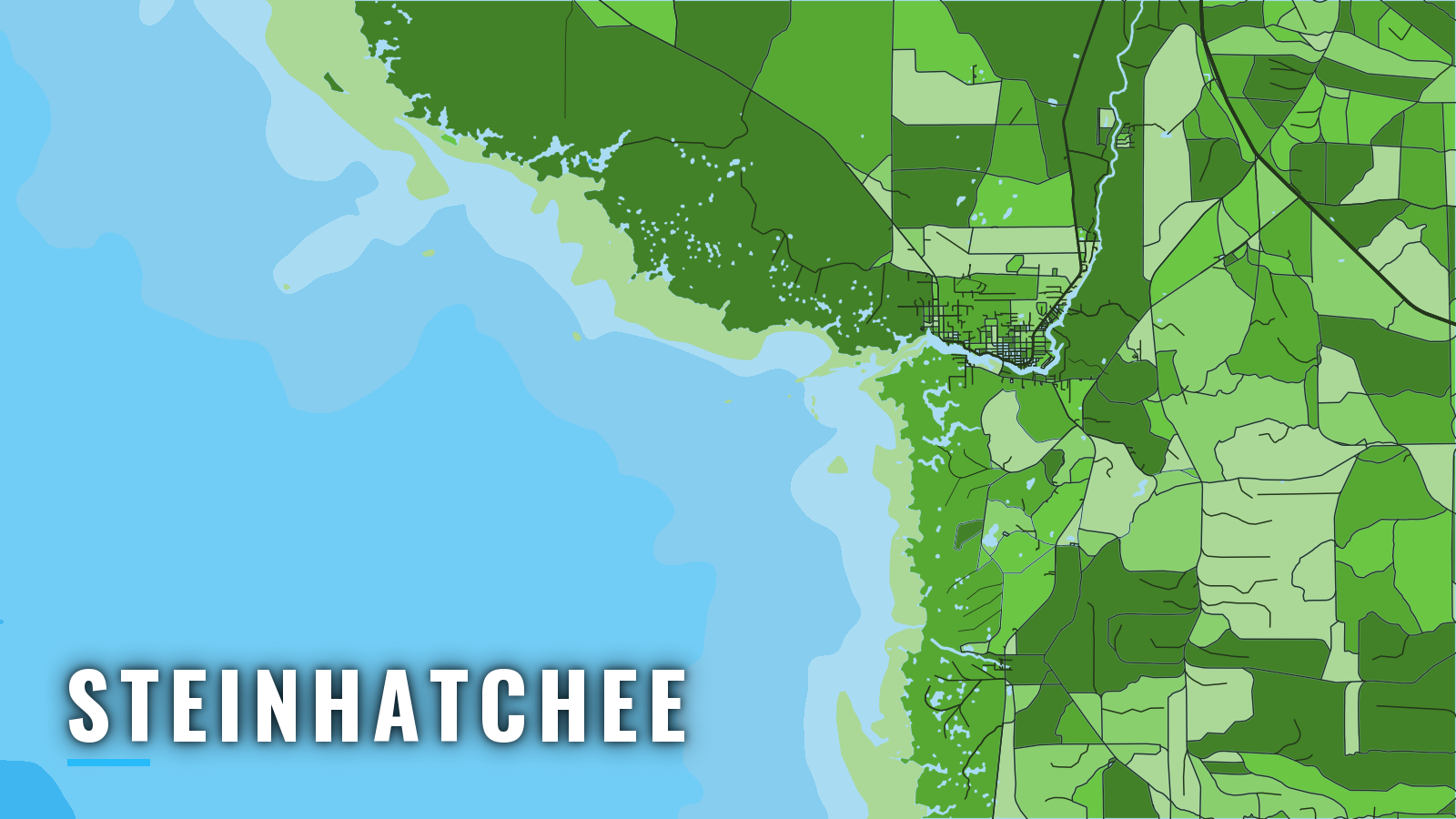
Steinhatchee sits on a short river that reaches the Gulf through a dredged, marked channel across Deadman Bay, on the Big Bend of Florida’s Gulf coast. The bottom slopes gently, so inshore flats, nearby reefs and limestone ledges farther out are all fished from the river. Offshore fishing runs year-round, with targets shifting by season. Anglers working out of Steinhatchee go after gag grouper, red grouper, red snapper, king mackerel and cobia, with black sea bass and sheepshead on the reefs. The Big Bend shelf is among the shallowest, most gradual stretches of the eastern Gulf, and that slope shapes where you launch, how you run out and back, and where you look by season.
Access and navigation
Public ramps and marinas in the area:
- Steinhatchee Boat Ramp – Taylor County public ramp on the river.
- Sea Hag Marina – marina on the river with fuel.
- Butler-Douglas Memorial Park boat ramp – public ramp at Horseshoe Beach, Dixie County.
- Main St. Boat Ramp – second public ramp at Horseshoe Beach.
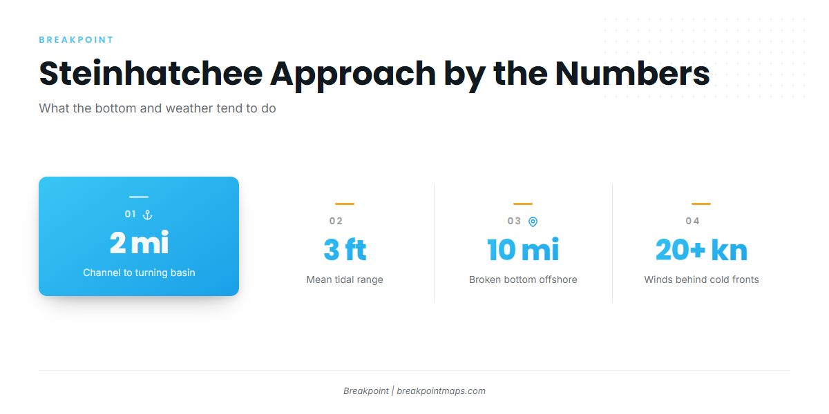
The Steinhatchee River channel runs from Steinhatchee River Light 1 to a turning basin about 2 miles up the river, marked by lights and daybeacons.
The Gulf bottom slopes very gradually here. The mean tidal range is about 3 ft, and the hard bottom is broken and irregular, with reefs and coral heads, for about 10 miles offshore. The slope means a long run to any real depth and puts the ledges far out. A 3 ft tide can also matter in the bay, and when wind opposes the tide, the shallow water can stack up into short, steep seas.
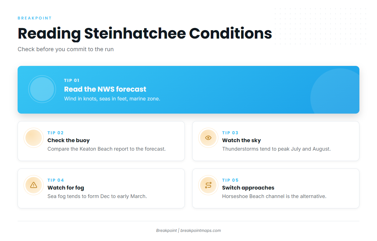
Cold fronts reach these waters from fall through spring. They can bring winds above 20 knots and sometimes gales, and waves of 10 ft or more are not uncommon behind them, according to NOAA Coast Pilot 5, Chapter 5. Sea fog is most common from December to early March. It tends to form ahead of a front when winds are south to southwest, and it can matter most on the run home. Thunderstorms are most likely from May through September, on 8 to 20 days a month, with July and August the most active. The Apalachee Bay area is among the most active, and offshore storms tend to be most frequent in the evening and early morning.
Bird guano racks are square platforms on piles about 20 ft above the water, standing on the outermost shoals of this coast. Some have been destroyed, leaving broken piling, and not all are charted. Keep a lookout on the outer shoals, especially in low light or fog. Birdrack 1, 2 and 3 are culvert reef sites off Steinhatchee.
The Horseshoe Beach entrance channel, marked by Horseshoe Beach Approach Light 2, is the nearby alternative way in or out. It pairs with the 2 Horseshoe Beach ramps above.
The Sea Hag Marina weather page links to the NWS Gulf coastal waters and Steinhatchee marine zone forecasts, plus the Keaton Beach and Cedar Key buoy and station pages. Read the forecast for wind in knots and seas in feet, then check what the Keaton Beach buoy is actually reporting.
On arrival, look at the water and the official forecast. If conditions look bigger than you want, switch approaches, such as the Horseshoe Beach channel. Trout and redfish on the inshore flats also remain an option.
Fishing conditions
Broken bottom with reefs and coral heads runs for about 10 miles offshore, and winter grouper ledges sit about 25 miles out. The named grounds out of Steinhatchee are:
- Super Ledge
- The Crack
- Lamb Spring
- Steinhatchee Reef
- Birdrack Reef
- Buck Eye Reef
Ledges and reefs like these are the kind of bottom that reef fish such as gray triggerfish use, and the ledges farther out are the type of structure that greater amberjack tend to hold on. Check FWC recreational saltwater regulations before fishing. Anglers 16 and older harvesting reef fish such as gag grouper, red grouper or red snapper from a private vessel need the free State Reef Fish Angler designation.
Chart Contours and OBS SST in the Breakpoint app show where the ledges and the temperature edges sit. Chart layers are not for navigation.
Bluewater species such as wahoo live far beyond the run distance of these shallow grounds. Anglers chasing wahoo in the Gulf look much farther off.
Winter
Gag grouper and red grouper work the ledges, and sheepshead hold on the reefs. Grouper can be caught about 8 to 10 miles out, though the best winter ledges sit about 25 miles out. Gag grouper seasons vary, so check FWC before you go. The December to early March sea fog window can matter on the run home.
Spring
Offshore, grouper, black sea bass and red snapper work the bottom while king mackerel move through. Red snapper timing is set by FWC and the federal managers, so check before going. Spotted seatrout, redfish, bluefish and Spanish mackerel are options on the flats.
Summer
Summer brings cobia, tarpon, flounder and shark. For the wider migratory picture, see cobia in the Gulf. Bay scallops draw boats nearshore. July and August are also the peak for thunderstorms.
Autumn
Grouper, black sea bass, red snapper and king mackerel work offshore. Cold fronts begin to return, and winds above 20 knots can follow them, so the official forecast matters on every run. Trout, redfish, bluefish and Spanish mackerel are on the flats.