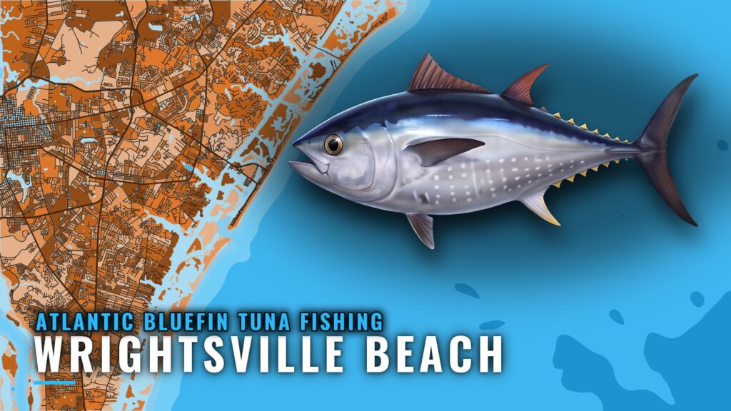
When bluefin are around Wrightsville Beach
Atlantic bluefin tuna fishing out of Wrightsville Beach happens in winter. The Atlantic bluefin tuna species guide covers the biology and the general picture; this page covers only what applies to this port.
Ocean Stinger rates bluefin as poor odds in October. For the wider migration picture, see the guide to the Atlantic Southeast (see also the Atlantic Southeast region guide).
Where boats run
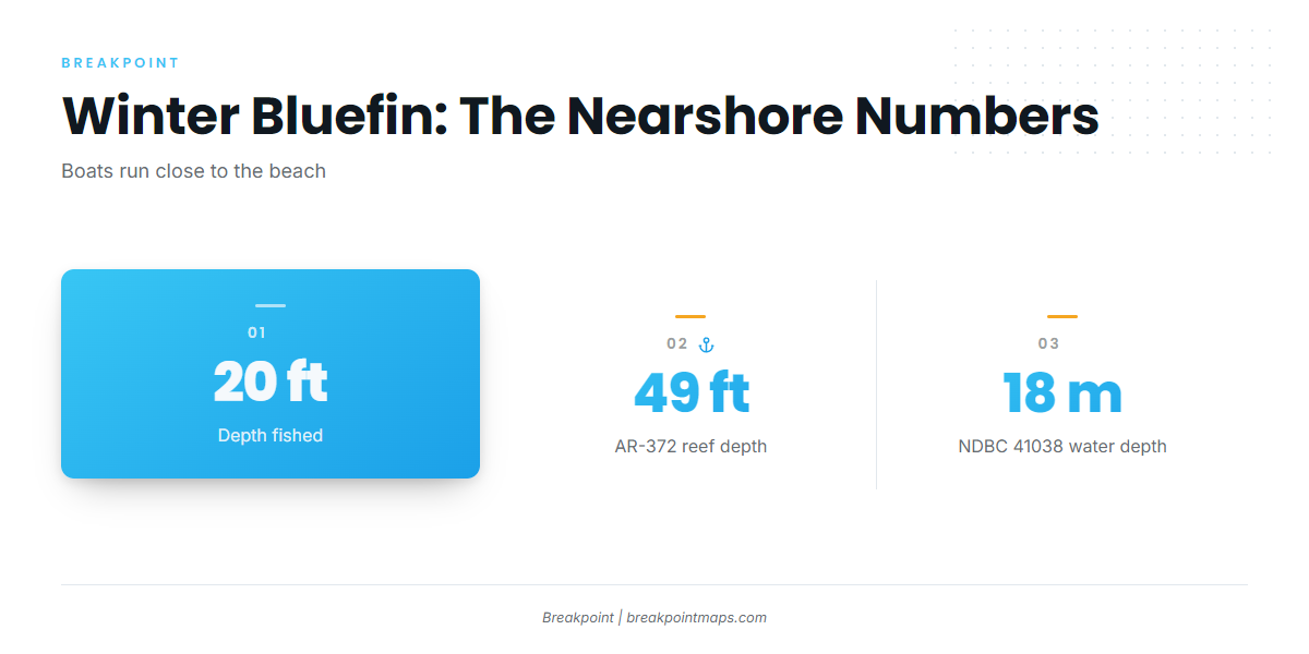
Boats run close to the beach and work the fish in about 20 ft of water. The reef list below charts AR-372 at 49 ft. For the port itself, see Wrightsville Beach.
- Run: close to the beach
- Depth: about 20 ft
- Season: winter
Reading NDBC 41038
The nearest NOAA buoy is NDBC 41038, Wrightsville Beach Nearshore (ILM2).
- Position: 34.141 N, 77.715 W
- Water depth: 18 m
It reports wind, wave height and period at its own position, so read those numbers before deciding to run. A buoy gives you one point rather than a forecast, so check it against the official marine forecast for the zone.
Grounds and structure near Wrightsville Beach
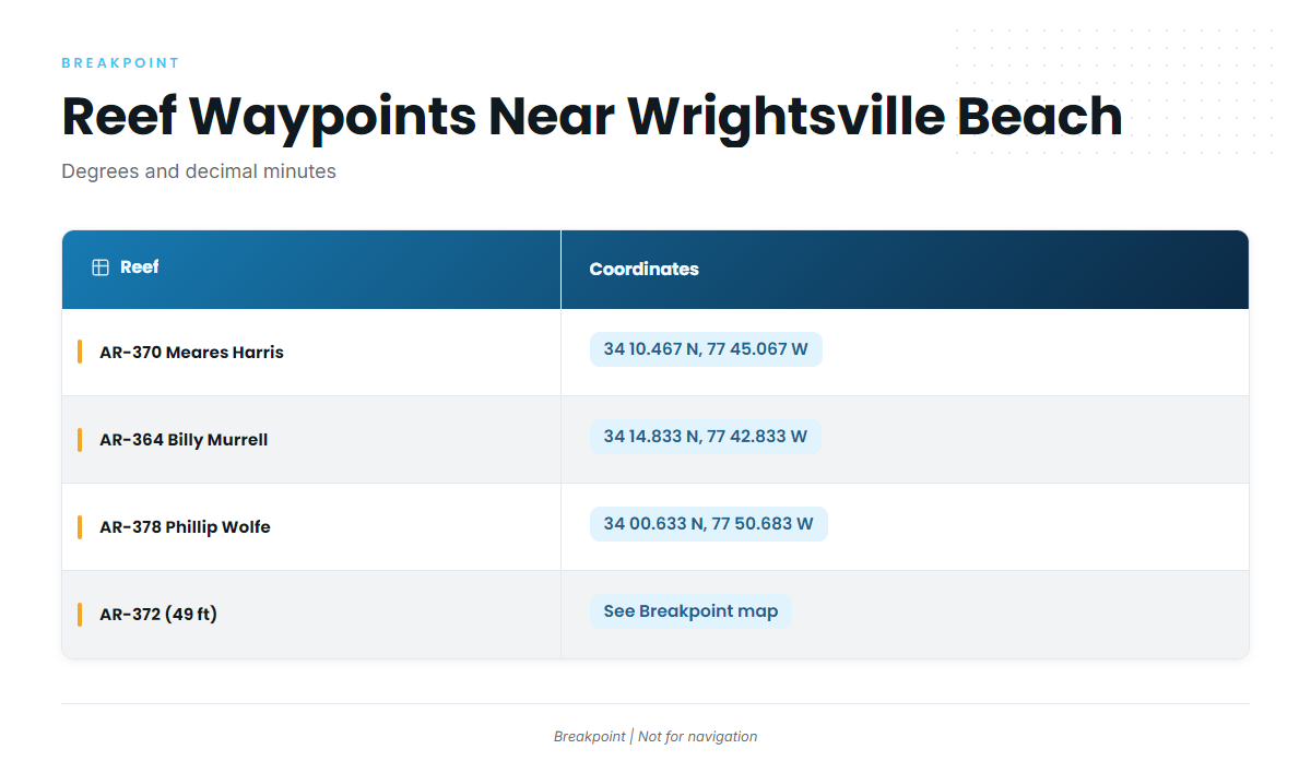
These are the named grounds and structure near the port, listed from the inlet outward. Plot them before you go.
Masonboro Inlet jetties
The Masonboro Inlet north and south jetties sit at Masonboro Inlet.
AR-numbered reefs
| Reef | Depth | Coordinates |
|---|---|---|
| AR-370 Meares Harris Reef | – | 34 10.467 N, 77 45.067 W |
| AR-364 Billy Murrell Reef | – | 34 14.833 N, 77 42.833 W |
| AR-378 Phillip Wolfe Reef | – | 34 00.633 N, 77 50.683 W |
| AR-372 artificial reef | 49 ft | – |
Schoolhouse, Dredge Wreck Reef and 10-Mile Boxcars
Three more named spots sit near the port:
- Schoolhouse
- Dredge Wreck Reef
- 10-Mile Boxcars
Chart layers and these positions are not for navigation.
How bluefin are fished from this port
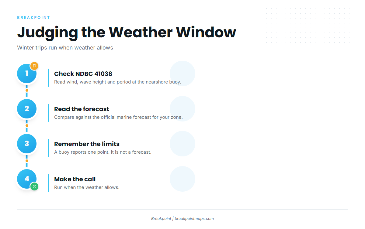
Winter trips run when weather allows. Judge that from the wind, wave height and period at NDBC 41038, and from the official marine forecast. No thresholds are given here, since the right number depends on your boat and your experience. For general tuna tactics, see our tuna fishing guides.
Who fishes for them here
Ocean Stinger Charters lists Atlantic bluefin tuna out of Wrightsville Beach, with Captain Jesse Gawlik. Their trips follow the same weather-window pattern: winter trips run when weather allows.
FAQ: Atlantic bluefin tuna fishing out of Wrightsville Beach
When is bluefin season at Wrightsville Beach?
Winter. Trips run when the weather allows.
Are bluefin around in October?
Ocean Stinger rates bluefin as poor odds in October. Treat October as planning time for the winter season.
How far do boats run for bluefin?
Boats run close to the beach. This is a nearshore fishery with no long offshore run.
What depth are bluefin fished in?
About 20 ft. AR-372, one of the named reefs, is charted at 49 ft.
Which buoy should I check before running?
NDBC 41038, Wrightsville Beach Nearshore (ILM2), at 34.141 N, 77.715 W in 18 m of water. Read the wind, wave height and period alongside the official marine forecast.
Who runs bluefin charters out of Wrightsville Beach?
Ocean Stinger Charters, with Captain Jesse Gawlik, lists Atlantic bluefin tuna out of this port.