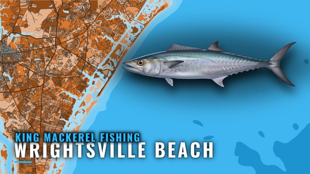
King mackerel fishing out of Wrightsville Beach runs through Masonboro Inlet to artificial reefs 3 to 5 miles out, from mid-May through October. Southern Run Fishing Charters also lists kings from mid to late October through November on its 4-hour trips. For inlet and conditions context, see the Wrightsville Beach port page.
When kings are off Wrightsville Beach
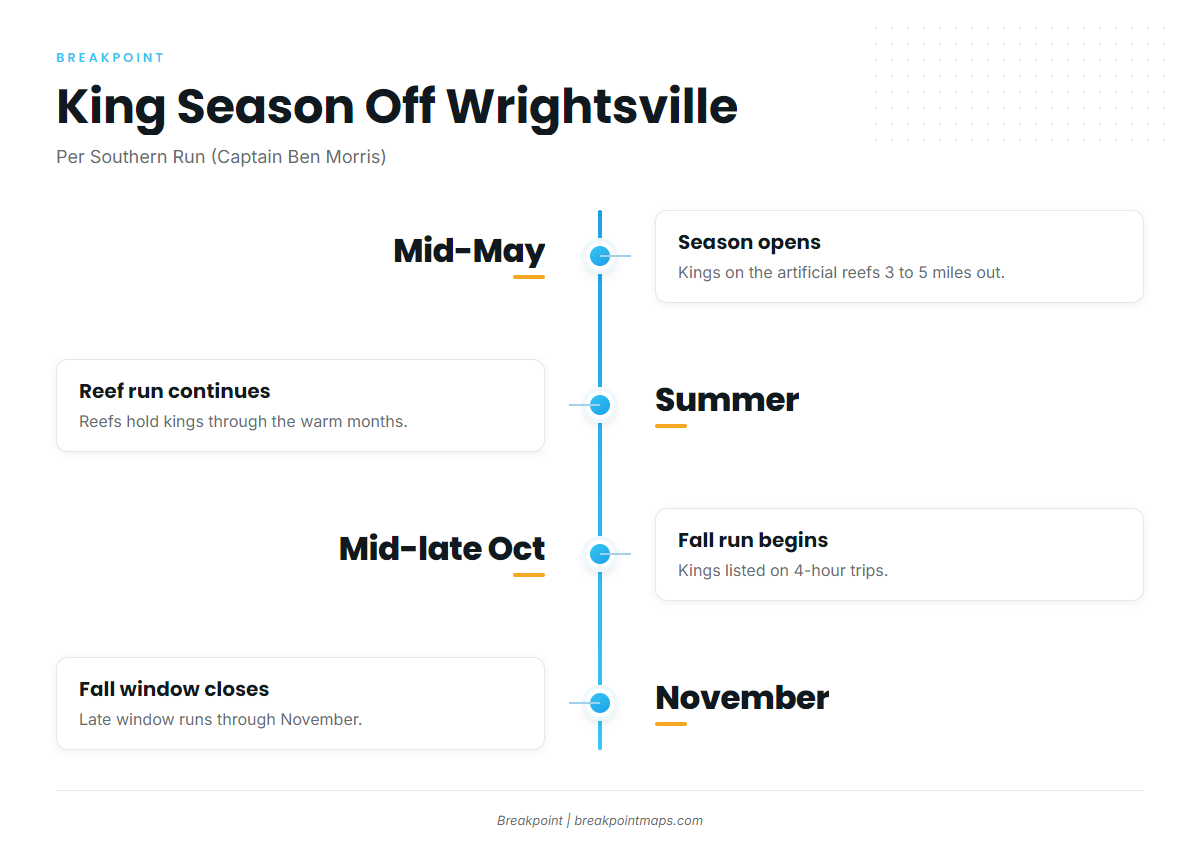
Southern Run’s trip listings define two windows.
Mid-May through October
Southern Run (Captain Ben Morris) puts kings on the artificial reefs 3 to 5 miles out from mid-May through October. For biology and general timing, read the king mackerel species guide.
Late October through November
Southern Run also lists kings from mid to late October through November on its 4-hour trips. This is the fall run. For the regional migration picture, see the Atlantic Southeast king mackerel guide (see also the Atlantic Southeast region guide).
Where boats run and the grounds that hold kings
Boats run through Masonboro Inlet and fish the artificial reefs and named structure inside the 3 to 5 mile band. The grounds below are the ones local sources and guides name.
Through Masonboro Inlet
Every run starts at Masonboro Inlet. The north and south jetties at the inlet are named structure.
AR reefs with coordinates
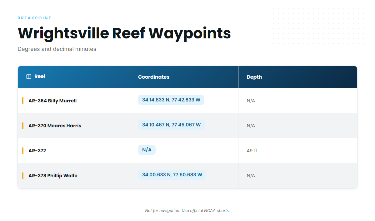
Four state artificial reefs sit on the grounds off Wrightsville Beach. Coordinates are in degrees and decimal minutes.
| Reef | Coordinates | Depth |
|---|---|---|
| AR-364 Billy Murrell Reef | 34 14.833 N, 77 42.833 W | |
| AR-370 Meares Harris Reef | 34 10.467 N, 77 45.067 W | |
| AR-372 | 49 ft | |
| AR-378 Phillip Wolfe Reef | 34 00.633 N, 77 50.683 W |
These coordinates and chart layers are not for navigation. Use official NOAA charts instead.
Guide-named structure
Guide Lee Parsons names the following, reached through Masonboro Inlet, in guide Lee Parsons’ reef picks:
- Schoolhouse
- Dredge Wreck
- 10-Mile Boxcars
- 5-Mile Boxcars
Busy reefs in summer
Parsons skipped Meares Harris in summer because of boat traffic. The four names above are the alternatives he gives.
Reading conditions before the run
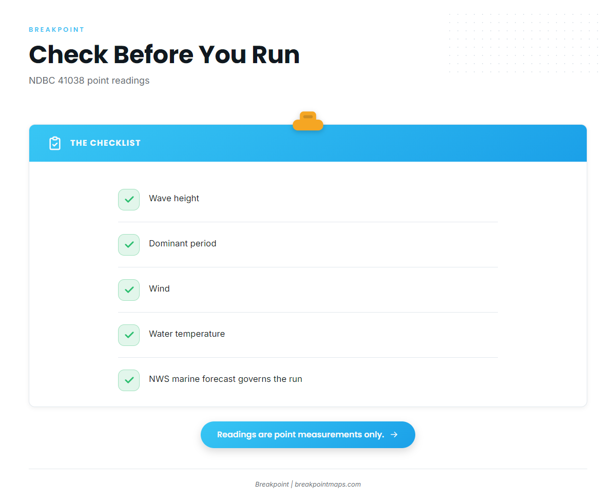
NDBC 41038, Wrightsville Beach Nearshore (ILM2), sits at 34.141 N 77.715 W in 18 m (about 59 ft) of water. Check wave height, dominant period, wind and water temperature. These are point readings at one spot and do not describe every reef on the run. The official NWS marine forecast governs the run decision.
How kings are fished here
Local guides slow-troll live bait over the reefs with a simple spread and light drag.
Bait
Guides slow-troll live menhaden (pogies), mullet or cigar minnows over the reefs.
The spread
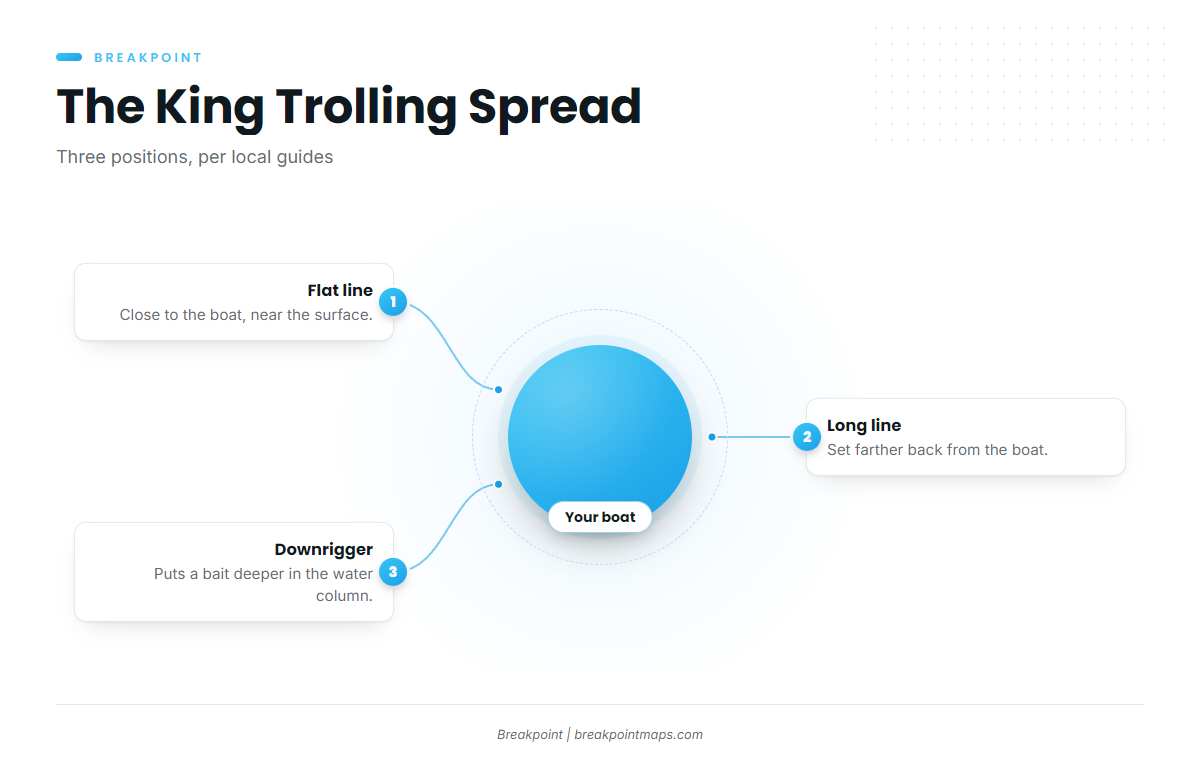
Guides run flat lines, long lines and a downrigger:
- Flat line: close to the boat near the surface.
- Long line: farther back.
- Downrigger: puts a bait deeper in the water column.
For general slow-trolling and rigging background, see the coastal and offshore gamefish guides.
Drag
Guides run light drag, about 5 to 7 lb, so the hook holds through the first run.
Who fishes for kings out of Wrightsville Beach
These charters list kings out of Wrightsville Beach:
- Southern Run Fishing Charters: Captain Ben Morris.
- Whipsaw Fishing Charters: Captain Robbie Wolfe.
- Ocean Stinger Charters: Captain Jesse Gawlik.
- Wild Rover III: Captain Dave Tilley.
FAQ about king mackerel fishing out of Wrightsville Beach
When is king mackerel fishing out of Wrightsville Beach at its best?
Southern Run lists kings from mid-May through October on reefs 3 to 5 miles out. It also lists a later window from mid to late October through November on its 4-hour trips.
How far out are the reefs?
Southern Run puts kings on artificial reefs 3 to 5 miles out.
Which inlet do boats use?
Masonboro Inlet. The north and south jetties at the inlet are named structure.
What bait works for kings here?
Live menhaden, mullet or cigar minnows, slow-trolled on flat lines, long lines and a downrigger. Local guides run about 5 to 7 lb of drag.
Which buoy should I check?
NDBC 41038 (ILM2) at 34.141 N 77.715 W in 18 m. It gives wave height, period, wind and water temperature as point readings. The NWS marine forecast governs the run decision.
Which reefs get crowded?
Lee Parsons skipped Meares Harris (AR-370) in summer because of boat traffic. He names Schoolhouse, Dredge Wreck and the Boxcars instead.