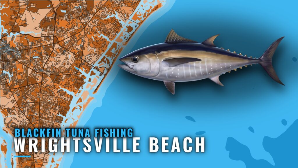
Blackfin tuna fishing out of Wrightsville Beach means a Gulf Stream run. The season is listed as October to May, with May into early June called prime. Boats leave through Masonboro Inlet. The Wrightsville Beach port guide covers the inlet, ramps and marinas, so this page doesn’t repeat them. For biology and general tactics, see the blackfin tuna species guide, and for the regional picture, the Atlantic Southeast blackfin guide (see also the Atlantic Southeast fishing guide). This page covers the run from this port, for boats out of Wrightsville Beach and Wilmington.
When blackfin are off Wrightsville Beach
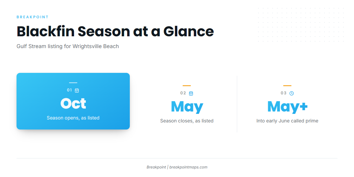
Two windows matter for planning: the full season and the peak inside it.
October to May
Southern Run’s Gulf Stream listing puts the blackfin season at October to May, eight months of listed availability for Gulf Stream trips from this port. Treat it as the window to watch. It doesn’t guarantee fish on any given day.
May into early June
Southern Run’s best-times page calls May into early June prime. If you’re picking one window for a Stream trip, the listing points there.
Where boats run
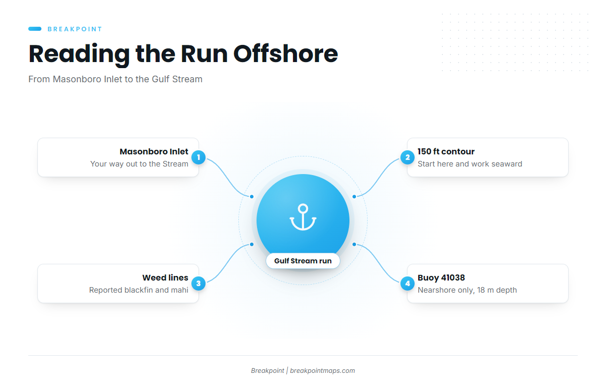
Blackfin trips from this port head offshore to the Gulf Stream, and depth is the main filter on the chart.
The Gulf Stream
Boats run out through Masonboro Inlet and head for the Gulf Stream, the destination for blackfin from this port.
Weed lines and 150 ft
One local report placed blackfin and mahi near good weed lines in 150 ft of water or deeper. As a starting rule:
- Start at the 150 ft contour and work seaward.
- Look for weed lines as you go.
- Expect mahi as the co-catch the report named.
Reading buoy 41038
The nearest NOAA buoy is NDBC 41038, Wrightsville Beach Nearshore (ILM2), at 34.141 N 77.715 W, in 18 m of water. At that depth it reports inlet and nearshore conditions, not conditions in the Gulf Stream.
Read its wind, wave height and period as numbers, then pair them with the National Weather Service marine forecast for the offshore leg. Your boat’s limits should decide whether you go.
Grounds and structure near Masonboro Inlet
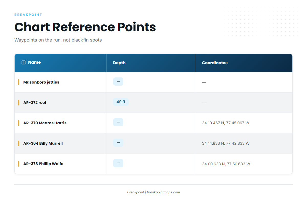
The structure near this port falls into two groups. The north and south jetties are part of the inlet you run through. The AR-numbered reefs are nearshore waypoints from the North Carolina artificial reef guide, and AR-372 sits in 49 ft. Blackfin were reported in 150 ft or deeper, so use these as chart reference points on the way out rather than as blackfin spots.
| Name | Depth | Coordinates |
|---|---|---|
| North and south jetties at Masonboro Inlet | – | – |
| AR-372 artificial reef | 49 ft | – |
| AR-370 Meares Harris Reef | – | 34 10.467 N, 77 45.067 W |
| AR-364 Billy Murrell Reef | – | 34 14.833 N, 77 42.833 W |
| AR-378 Phillip Wolfe Reef | – | 34 00.633 N, 77 50.683 W |
| Schoolhouse | – | – |
| Dredge Wreck Reef | – | – |
| 10-Mile Boxcars | – | – |
Coordinates and chart layers are not for navigation. Use official NOAA charts.
How blackfin are fished here
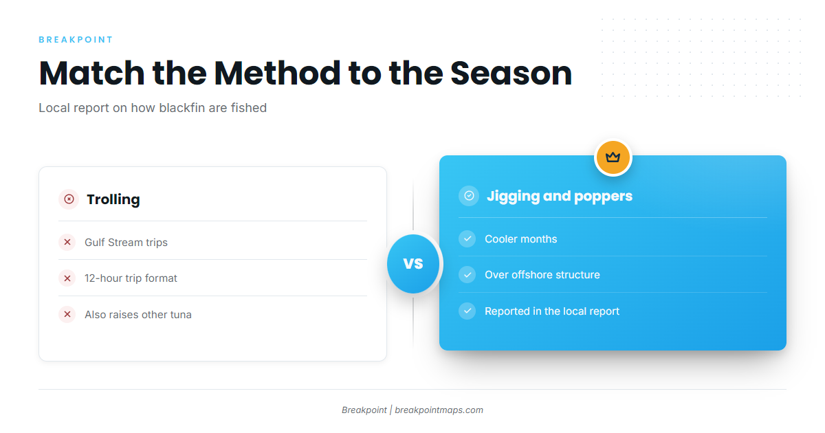
Two methods are listed locally, depending on where you’re fishing and how cool the water is.
Trolling on 12-hour Stream trips
Blackfin are trolled on 12-hour Gulf Stream trips, the trip format Southern Run lists. Trolling spreads that pull blackfin also raise other tuna species.
Jigging and poppers in the cooler months
The same local report notes jigging or poppers over offshore structure in the cooler months. In short, troll on the Stream, and jig or pop over offshore structure when the water cools.
Who fishes them
Ocean Stinger Charters, run by Captain Jesse Gawlik, is the local charter that lists blackfin tuna. Ocean Stinger Charters lists blackfin among its species on offshoreadventuresnc.com. A charter trip is one way to see the run before taking your own boat out.
FAQ: Blackfin tuna fishing out of Wrightsville Beach
When is blackfin season out of Wrightsville Beach?
Southern Run’s Gulf Stream listing gives October to May. Its best-times page calls May into early June prime.
How deep do you look for blackfin?
One local report placed blackfin and mahi near weed lines in 150 ft of water or deeper. Start at the 150 ft contour and work seaward.
Do the nearshore artificial reefs hold blackfin?
The reported depth is 150 ft or deeper, and the named reefs sit far shallower. AR-372 is in 49 ft. Use them as chart reference points on the run, not as blackfin grounds.
What methods work for blackfin here?
Trolling on 12-hour Gulf Stream trips is the listed method. A local report also notes jigging or poppers over offshore structure in the cooler months.
Which buoy should I check before running offshore?
NDBC 41038 (ILM2) sits at 34.141 N 77.715 W in 18 m of water. It reads nearshore conditions only, so pair its wind, wave height and period with the NWS marine forecast for the Stream.
Is there a local charter that targets blackfin?
Ocean Stinger Charters, Captain Jesse Gawlik, lists blackfin tuna on offshoreadventuresnc.com.