When red grouper fishing is best out of Wrightsville Beach
Red grouper fishing out of Wrightsville Beach is often better in early spring and fall, and local best-times guidance puts the stronger bite in those two windows. Inlet, ramp and conditions detail is in the Wrightsville Beach port guide. Biology and the wider picture are in the red grouper species guide. The wider picture is in the red grouper fishing in the Atlantic Southeast and the Atlantic Southeast fishing guide.
Plan your dates around these windows:
- Early spring: the first of the two stronger windows.
- Fall: the second window.
- Between them: the guidance doesn’t call this the better bite, so treat it as the shoulder.
How far boats run
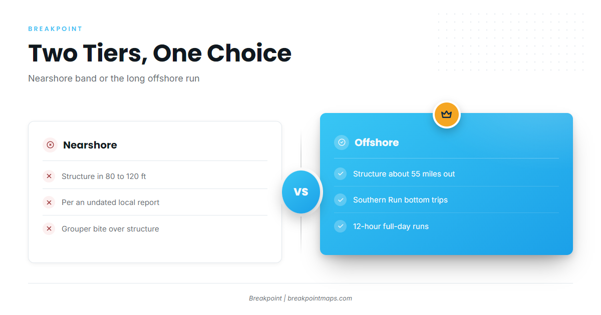
Boats fish two tiers from Wrightsville Beach: nearshore structure in 80 to 120 ft, and offshore structure about 55 miles out. Decide which tier you’re fishing before you plan fuel and timing.
| Tier | Depth or distance | Source |
|---|---|---|
| Nearshore structure | 80 to 120 ft | Undated local report |
| Offshore structure | About 55 miles out | Southern Run, 12-hour bottom trips |
Nearshore structure, 80 to 120 ft
An undated local report places the nearshore grouper bite over structure in the 80 to 120 ft range. Work that depth band over reef and hard structure.
Offshore structure, about 55 miles
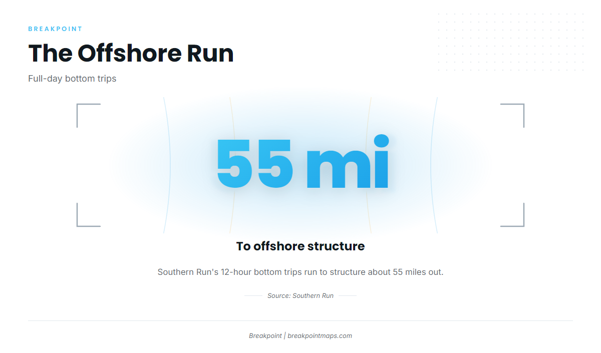
Southern Run’s 12-hour bottom trips go to offshore structure about 55 miles out, which makes for a full day. The decision comes down to the nearshore band or the 55-mile run.
Grounds and structure off Masonboro Inlet
The named grounds near Wrightsville Beach run from the Masonboro Inlet jetties out to the numbered artificial reefs and other named structure. Work them in that order, from the inlet outward.
Masonboro Inlet jetties
Masonboro Inlet has a north jetty and a south jetty, and both are named structure for this port.
Artificial reefs
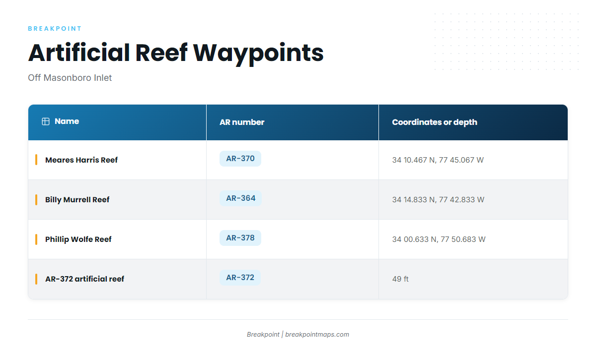
| Name | AR number | Coordinates or depth |
|---|---|---|
| Meares Harris Reef | AR-370 | 34 10.467 N, 77 45.067 W |
| Billy Murrell Reef | AR-364 | 34 14.833 N, 77 42.833 W |
| Phillip Wolfe Reef | AR-378 | 34 00.633 N, 77 50.683 W |
| AR-372 artificial reef | AR-372 | 49 ft |
The coordinates are listed for marking waypoints. Chart layers are not for navigation.
Other named structure
These grounds are also fished out of Wrightsville Beach:
- Schoolhouse
- Dredge Wreck Reef
- 10-Mile Boxcars
General technique for working reef structure is in our reef fish guides.
How it is fished and who fishes it
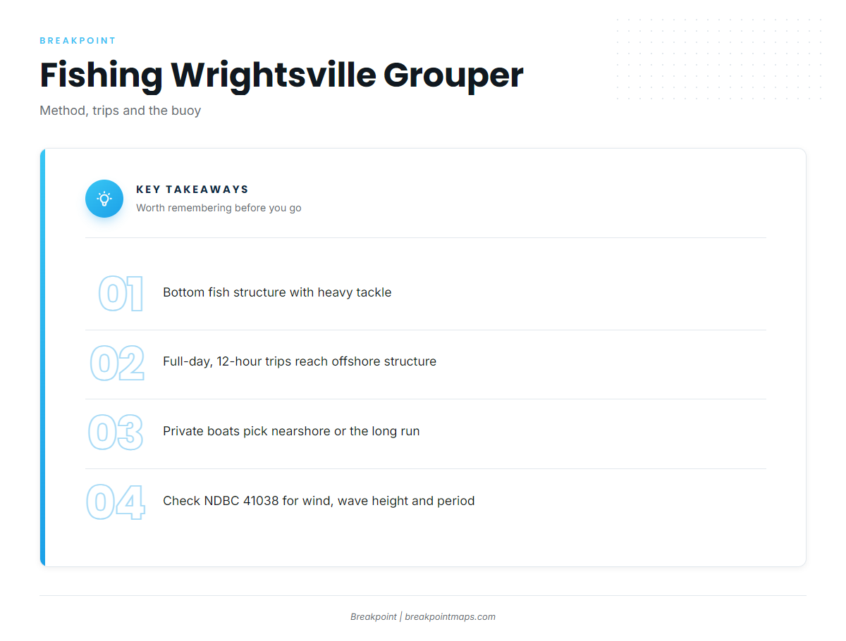
Grouper here are caught bottom fishing on structure with heavy tackle. The fish sit on the bottom, so the method centers on getting a bait down to them and getting the fish up.
Heavy tackle on the bottom
Fish heavy gear straight down over structure, with tackle sized for bottom fishing.
Full-day bottom trips
Southern Run runs full-day, 12-hour bottom trips to offshore structure about 55 miles out, which is the local benchmark for the long run. Private boats face the same choice of tiers: the nearshore band or the long offshore run.
For conditions, use NDBC 41038, Wrightsville Beach Nearshore (ILM2), at 34.141 N 77.715 W in 18 m of water. Read wind, wave height and period from it, and check the official marine forecast. It is a nearshore station, so its readings reflect water near the inlet rather than conditions 55 miles out.
FAQ about red grouper fishing out of Wrightsville Beach
When is red grouper fishing best out of Wrightsville Beach?
Grouper fishing is often better in early spring and fall.
How far do boats run for red grouper from Wrightsville Beach?
There are two tiers: nearshore structure in 80 to 120 ft, and offshore structure about 55 miles out on Southern Run’s 12-hour bottom trips.
What depth do grouper hold nearshore?
An undated local report puts the nearshore grouper bite over structure in 80 to 120 ft.
Which buoy should I check before running out of Masonboro Inlet?
NDBC 41038 (ILM2), at 34.141 N 77.715 W, in 18 m. Read wind, wave height and period from it, keeping in mind that it reflects nearshore water. Check the official marine forecast.
Where are the red grouper rules for this port?
The NC Division of Marine Fisheries sets them. Check its rules before fishing.