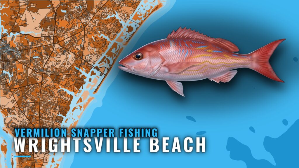
Vermilion snapper fishing out of Wrightsville Beach means a Gulf Stream bottom trip, about 55 miles out. This page covers when the fish are around, how far boats run, which named structure sits near the port, how the fish are caught and who fishes for them from here. Inlet and launch details are on the Wrightsville Beach port page, and the general picture is in our vermilion snapper guide. For the wider coast, see the vermilion snapper fishing in the Atlantic Southeast and the Atlantic Southeast offshore fishing guide.
When vermilion snapper are around Wrightsville Beach
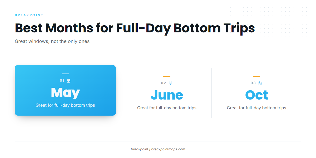
May, June and October are the best windows for full-day bottom trips, though the fish are caught in other months too.
| Window | What local operators say |
|---|---|
| May, June, October | Great months for full-day bottom trips |
| Rest of the year | Can be caught pretty much year round, per Southern Run |
Best months
May, June and October are great months for full-day bottom trips out of Wrightsville Beach, so those are the three to plan a long run around.
Year round
Southern Run says vermilion snapper can be caught pretty much year round. May, June and October are the best windows for a full day, but they are not the only ones.
How far boats run from Wrightsville Beach
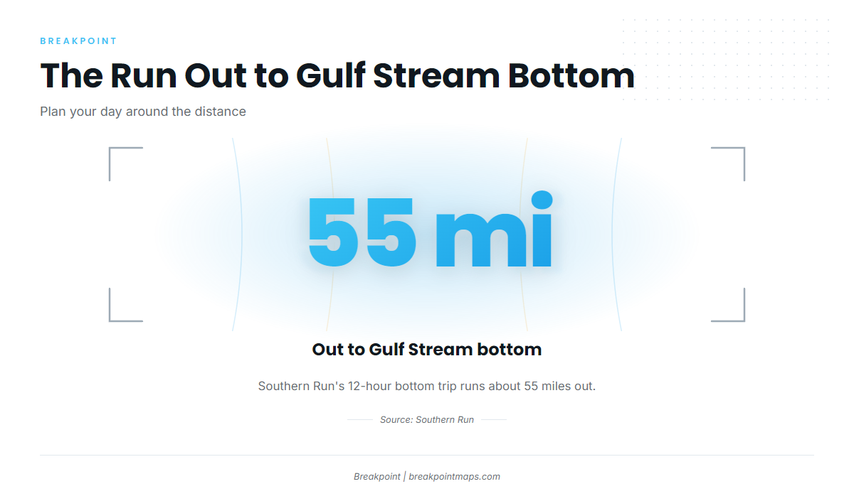
Distance determines fuel, range and the length of the day, and this is a full-day commitment.
About 55 miles to Gulf Stream bottom
Southern Run’s 12-hour bottom trip runs about 55 miles out to Gulf Stream bottom. Private boats should plan against the same distance.
Key figures for the run:
- Distance: about 55 miles out
- Destination: Gulf Stream bottom
- Trip length: 12 hours
- Method: bottom fishing
Reading conditions at NDBC 41038
The nearest NOAA buoy is a nearshore station:
- NDBC 41038, Wrightsville Beach Nearshore (ILM2)
- 34.141 N 77.715 W
- Water depth 18 m
Its readings describe the water near the port, not Gulf Stream bottom 55 miles out. Use wind, wave height and period as a rough guide to conditions near the inlet, and check the NWS Wilmington marine forecast for the run itself.
Grounds and structure near Wrightsville Beach
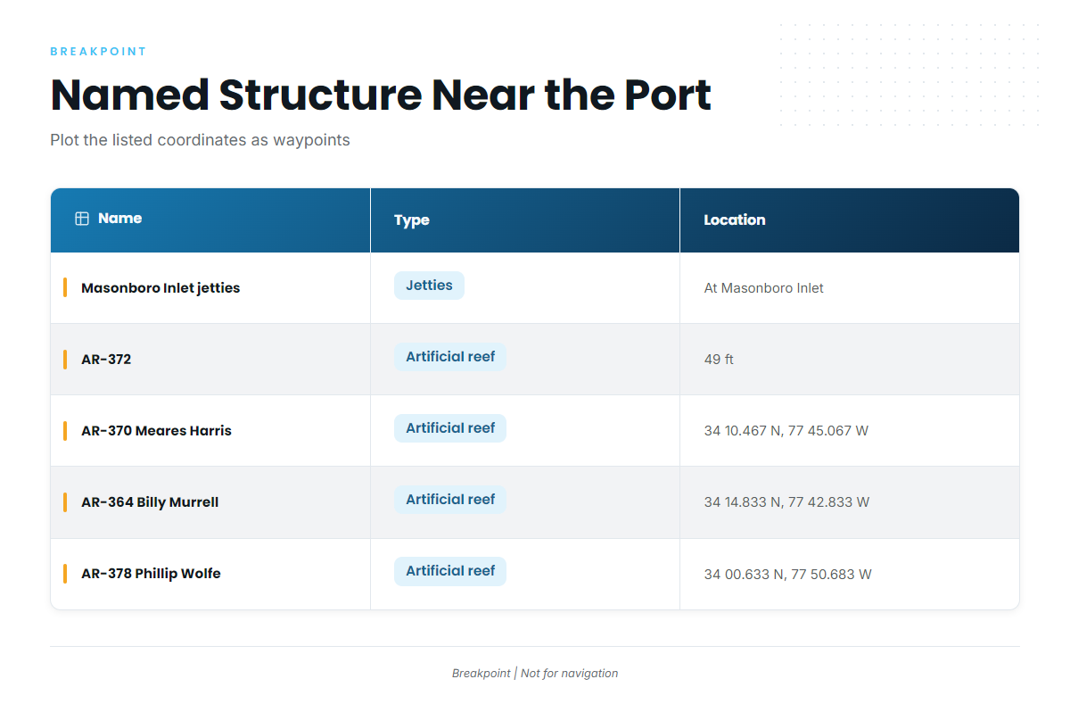
These are the named structures near the port, drawn from the NC DMF artificial reef guide and local use. The vermilion trip itself is the 55-mile Gulf Stream run.
| Name | Type | Depth | Coordinates |
|---|---|---|---|
| Masonboro Inlet north and south jetties | Jetties | At Masonboro Inlet | |
| AR-372 | Artificial reef | 49 ft | |
| AR-370 Meares Harris Reef | Artificial reef | 34 10.467 N, 77 45.067 W | |
| AR-364 Billy Murrell Reef | Artificial reef | 34 14.833 N, 77 42.833 W | |
| AR-378 Phillip Wolfe Reef | Artificial reef | 34 00.633 N, 77 50.683 W | |
| Schoolhouse | |||
| Dredge Wreck Reef | |||
| 10-Mile Boxcars |
You can plot the listed coordinates as waypoints in Breakpoint. Chart layers and coordinates are not for navigation.
How vermilion snapper are fished here
Locally, this is bottom fishing on deep structure with heavy tackle.
Heavy tackle on deep structure
The bait goes on the bottom, on the structure, with gear built for depth and weight. For the wider reef fish picture, see our reef fish guides.
Who fishes them from this port
There are two ways out for vermilion snapper from Wrightsville Beach:
- Private boats run their own trips to the grounds.
- Southern Run runs a 12-hour bottom trip to Gulf Stream bottom, about 55 miles out.
FAQ about vermilion snapper fishing out of Wrightsville Beach
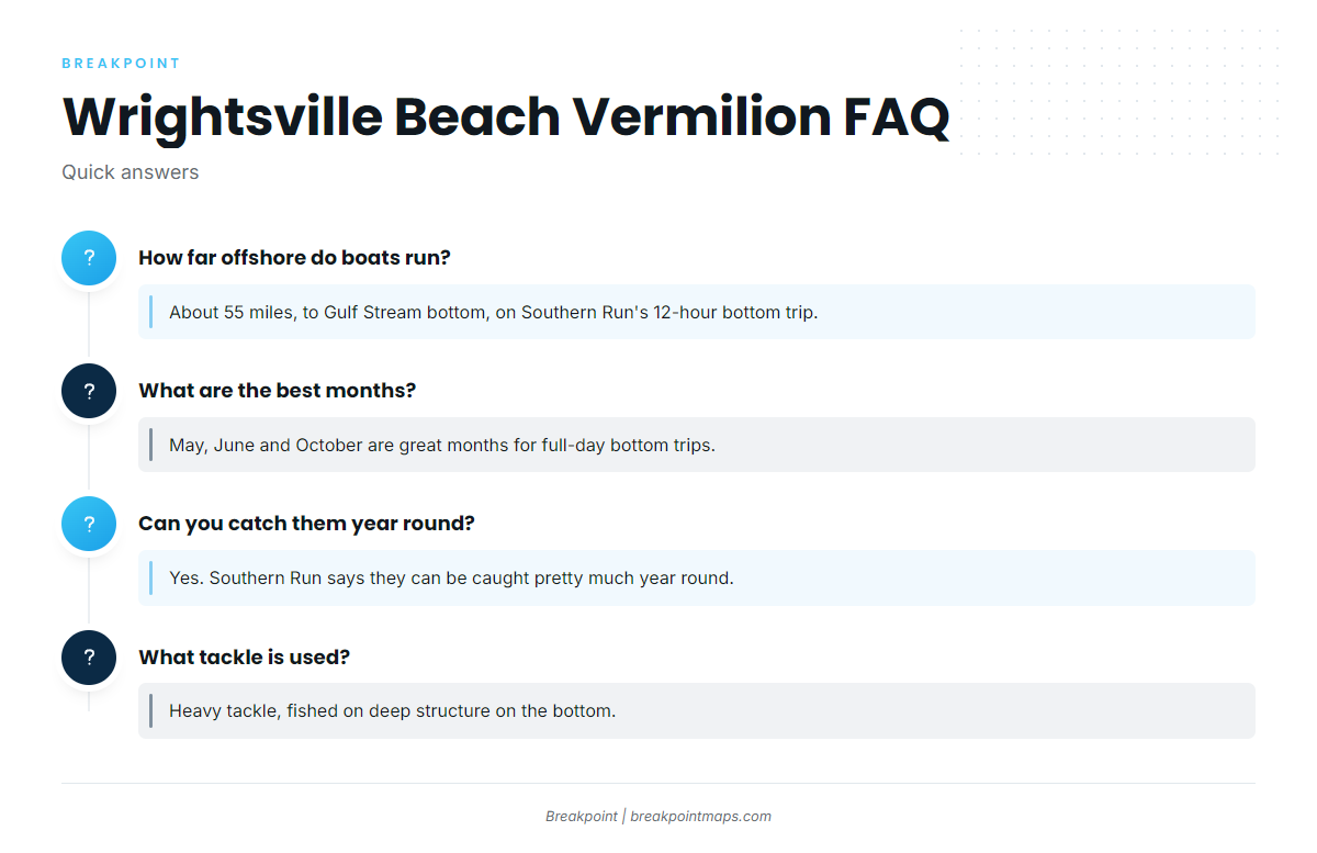
How far offshore do boats run for vermilion snapper from Wrightsville Beach?
About 55 miles, to Gulf Stream bottom, on Southern Run’s 12-hour bottom trip.
What are the best months?
May, June and October are great months for full-day bottom trips.
Can you catch them year round?
Yes. Southern Run says they can be caught pretty much year round.
What tackle is used?
Heavy tackle, fished on deep structure on the bottom.
Which buoy covers Wrightsville Beach?
NDBC 41038, Wrightsville Beach Nearshore (ILM2), at 34.141 N 77.715 W in 18 m of water. It reads nearshore water, not Gulf Stream bottom.
Where are the regulations?
On the North Carolina regulations page. Check it before fishing.