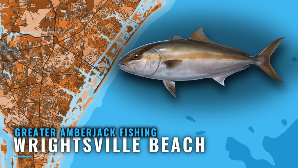
When greater amberjack are off Wrightsville Beach
Greater amberjack fishing out of Wrightsville Beach is a warm-month fishery. Guide Jot Owens says the fish are around when the weather is hot, and Southern Run Fishing Charters lists amberjack on its 8-hour and 12-hour trips. Plan your own runs for the same stretch of the year. The wider picture is in the greater amberjack fishing in the Atlantic Southeast and the Atlantic Southeast fishing guide.
This page covers the port. For biology and the general picture, see the greater amberjack species guide.
How far boats run and reading conditions
Two things shape the trip: how far you run and what the water is doing when you leave.
The run
Boats out of this port reach the Atlantic through Masonboro Inlet. The Wrightsville Beach port guide covers the inlet and the rest of the local water.
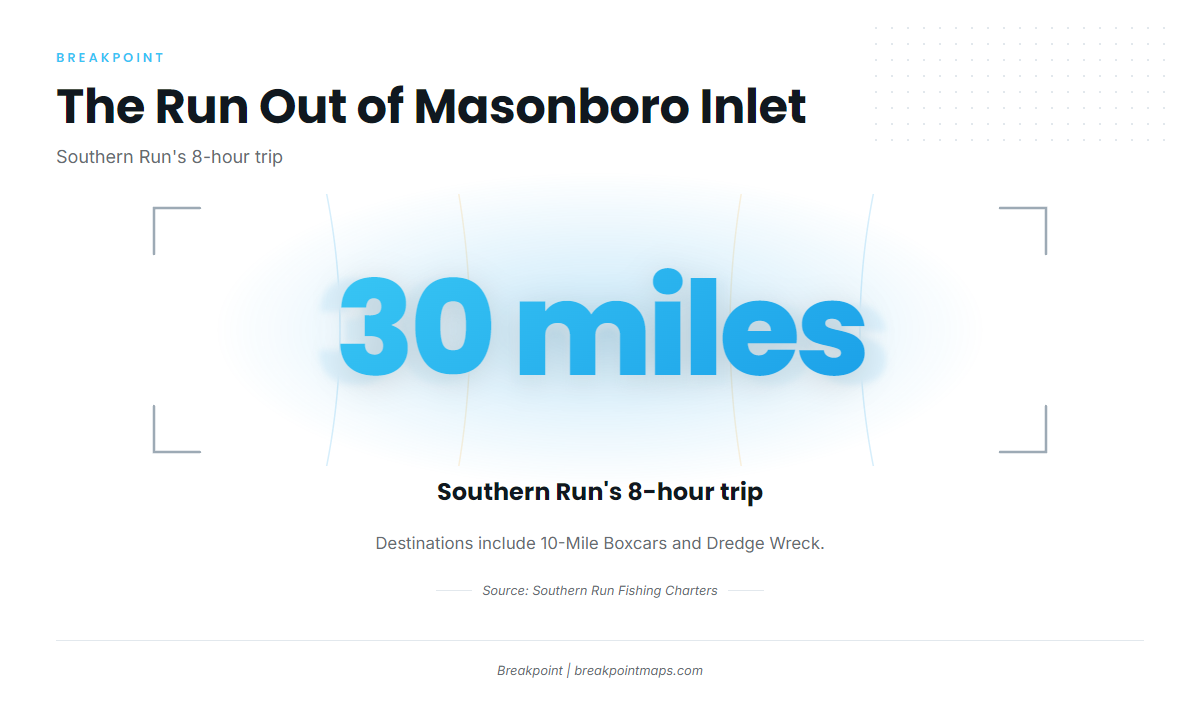
Southern Run’s 8-hour trip runs about 30 miles. Destinations include the artificial reefs off Wrightsville Beach, among them 10-Mile Boxcars and Dredge Wreck.
Buoy 41038
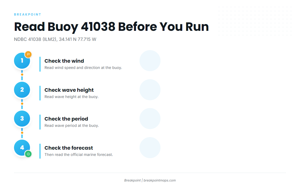
NDBC 41038, Wrightsville Beach Nearshore (ILM2), sits at 34.141 N 77.715 W in 18 m of water, about 59 ft. Before you go, read three numbers there:
- Wind
- Wave height
- Period
Then check the official marine forecast. The buoy reports nearshore conditions, which may differ from what you’ll find at the end of a 30-mile run.
Reefs and structure that hold amberjack
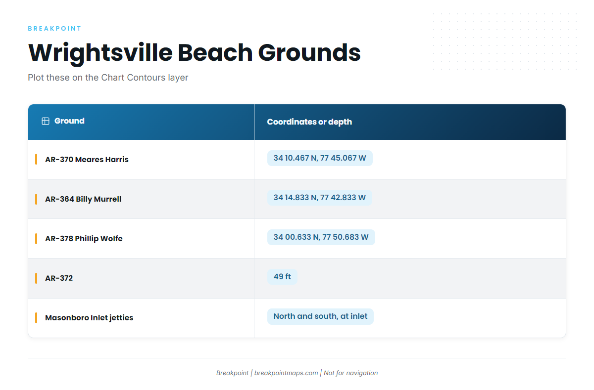
The artificial reefs off Wrightsville Beach are the main structure, and the NC artificial reef program is the official source for them. The amberjack reefs near Wilmington that boats run to are listed below.
You can plot these coordinates on the Chart Contours layer in Breakpoint. Chart layers are not for navigation.
| Name | Coordinates or depth | Notes |
|---|---|---|
| AR-370 Meares Harris Reef | 34 10.467 N, 77 45.067 W | |
| AR-364 Billy Murrell Reef | 34 14.833 N, 77 42.833 W | |
| AR-378 Phillip Wolfe Reef | 34 00.633 N, 77 50.683 W | |
| AR-372 artificial reef | 49 ft | |
| 10-Mile Boxcars | Named artificial reef boats run to | |
| Dredge Wreck Reef | Named artificial reef boats run to | |
| Schoolhouse | ||
| Masonboro Inlet north and south jetties | At Masonboro Inlet | Inlet structure |
AR-370 Meares Harris Reef
Coordinates: 34 10.467 N, 77 45.067 W.
AR-364 Billy Murrell Reef
Coordinates: 34 14.833 N, 77 42.833 W.
AR-378 Phillip Wolfe Reef
Coordinates: 34 00.633 N, 77 50.683 W.
AR-372
AR-372 is an artificial reef in 49 ft of water.
10-Mile Boxcars
10-Mile Boxcars is a named artificial reef that boats out of Wrightsville Beach run to.
Dredge Wreck Reef
Dredge Wreck Reef is a named artificial reef that boats out of Wrightsville Beach run to.
Schoolhouse
Schoolhouse is a named ground near Wrightsville Beach.
Masonboro Inlet jetties
The north and south jetties sit at Masonboro Inlet. The NOAA Coast Pilot chapter covers the inlet.
How amberjack are fished here
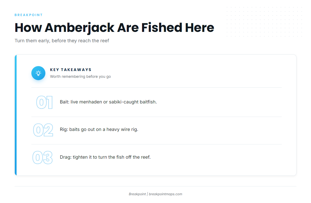
The local method is built around one problem: amberjack run for the structure, so you turn them early. For general reef-fishing context, see the reef fish guides.
Bait: live menhaden or sabiki-caught baitfish
Local anglers fish live menhaden or baitfish caught on a sabiki before the run.
Rig: heavy wire
Baits go out on a heavy wire rig.
Drag: tighten it to turn the fish off the reef
Guides tighten the drag to turn amberjack away from the reef. The Carolina Sportsman reef fishing piece describes the same tactic.
Who fishes amberjack out of Wrightsville Beach
Two local charters list greater amberjack. Confirm trips with the captains through their pages.
Southern Run Fishing Charters
Captain Ben Morris runs Southern Run, which lists amberjack on its 8-hour and 12-hour trips. See Southern Run Fishing Charters.
Wild Rover III
Captain Dave Tilley runs Wild Rover III, which lists greater amberjack. See Wild Rover III fishing charters.
FAQ: Greater amberjack fishing out of Wrightsville Beach
When are greater amberjack off Wrightsville Beach?
In the warm months, when the weather is hot, per guide Jot Owens.
How far do boats run for amberjack out of Wrightsville Beach?
Southern Run’s 8-hour trip runs about 30 miles to the artificial reefs offshore.
What are the coordinates of AR-370 Meares Harris Reef?
34 10.467 N, 77 45.067 W. Chart layers are not for navigation.
What bait and rig do local anglers use for amberjack?
Live menhaden or sabiki-caught baitfish, fished on a heavy wire rig.
How do you keep an amberjack out of the reef?
Tighten the drag to turn the fish away from the structure.
Which buoy should I check before running offshore?
NDBC 41038 (ILM2), at 34.141 N 77.715 W in 18 m of water. Read wind, wave height and period there, then check the official marine forecast.