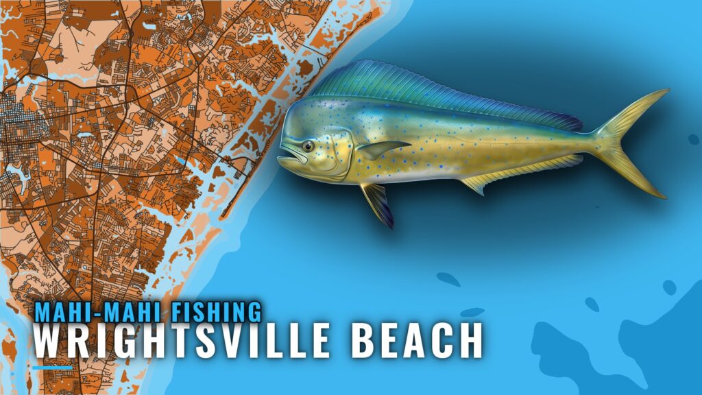
Mahi-mahi fishing from Wrightsville Beach works the water near Masonboro Inlet and out to about 20 miles, with summer the strongest time for the fish. This page covers the season, the grounds and reef sites, the methods used, the charters named for the port and the rules. The Wrightsville Beach port page has the inlet and marina details. For the wider coast, see the mahi-mahi fishing in the Atlantic Southeast and the Atlantic Southeast offshore fishing guide.
When mahi are around Wrightsville Beach
Mahi are documented from spring through fall, with midsummer as the strongest stretch. One charter names summer as its best bet for mahi, and another describes spring through fall as the best action off the beach. Midsummer is also when king mackerel and dolphin are often found in the same water off Wrightsville and Carolina Beach. Along North Carolina the fish arrive later than they do in Florida, and the push continues north from there.
Where boats run
One charter runs up to about 20 miles offshore for king mackerel and mahi, and mahi are usually found within about 20 miles of the shore. Boats leave through Masonboro Inlet, a jettied inlet with a lighted whistle buoy off its entrance. Strong tide rips form on the ebb, so a flood or early departure may give a gentler passage. The buoys over the bar are moved often and are not charted, so read them on the approach rather than following a plotted line. Inside, Banks and Motts Channels are marked with lights, buoys and daybeacons. The S.R. 74 drawbridge on the Intracoastal Waterway opens on the hour for pleasure boats during the day, which can matter for a departure from the north side. Check conditions yourself before you take the inlet.
Grounds and structure
Named reef sites lie offshore of Masonboro Inlet, with distances measured from the sea buoy. Meares Harris Reef (AR-370) is about 2.3 nautical miles out in about 52 feet, AR-372 about 4.8 miles out in about 48 feet, Billy Murrell Reef (AR-364) about 6.1 miles out in about 44 feet, and AR-376 about 9.9 miles out in about 60 feet. Lennon/Hyde Reef (AR-386) and AR-368 lie farther out, at about 17.6 and 18.3 miles. The jetties at the inlet are a feeding area for inshore species. None of the reefs is a confirmed mahi ground.
How mahi are fished out of Wrightsville Beach
The local method is trolling near floating debris, weed lines and current breaks. Use rigged ballyhoo and skirted lures at a steady pace along those edges, and approach any debris you pass quietly. Keep one hooked fish in the water beside the boat so the school stays, and pitch to the followers.
Who fishes it
Circle Bak Charters and MaTunaHoo Sportfishing are named for mahi out of Wrightsville Beach. Neither has a website confirmed here, so contact the operators directly before you book. No mahi tournament is confirmed for the port on this page.
Frequently asked questions
When is the best time for mahi off Wrightsville Beach?
Midsummer is the strongest stretch. Spring through fall is the wider window documented for the port.
How far offshore do I need to go?
Mahi are usually within about 20 miles of the shore, and one charter runs up to about 20 miles for them. Start at the nearer reef sites and the weed lines, then work out.
Which charters target mahi here?
Circle Bak Charters and MaTunaHoo Sportfishing are named for mahi. Confirm the trip details with each before you book.
Are the bar buoys charted?
No. The bar buoys are moved often and are not charted, so read them on approach, and check conditions yourself before you cross.