Mahi-mahi fishing out of Point Judith: warm water and floating structure
Mahi-mahi fishing out of Point Judith depends on warm water south of Block Island and the floating structure inside it. Boats leaving Galilee look around floating debris, weed lines, buoys and high-flyer buoys, and they pick up mahi on the canyon trips. This page covers that structure, the named grounds you pass on the run south, the local methods, the charters that list mahi, and NOAA tide station 8455083. It can help you decide where to look, but it makes no promise of fish.
When mahi are around and where boats run
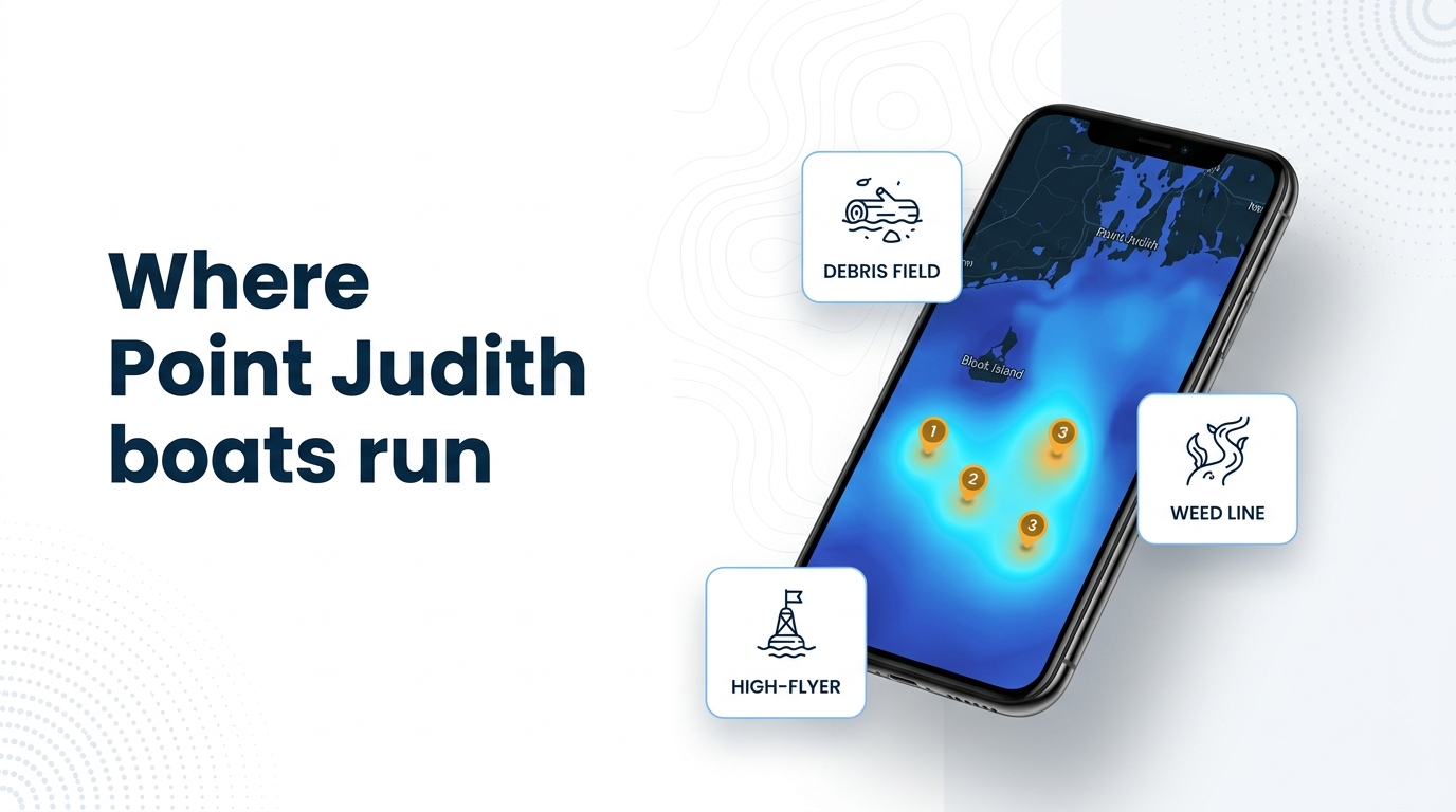
Boats from this port look for mahi around floating debris, weed lines, buoys and high-flyer buoys in warm water south of Block Island, and on the canyon trips. The warm water has to be there first, and the floating structure within it is what holds the fish.
Warm water south of Block Island
Mahi follow warm water, so start by working out where it sits relative to Block Island. For biology and feeding habits, see the mahi-mahi species guide. For regional timing and warm-water context, see timing across the Northeast (see also the Atlantic Northeast offshore fishing guide).
Debris, weed lines and high-flyers
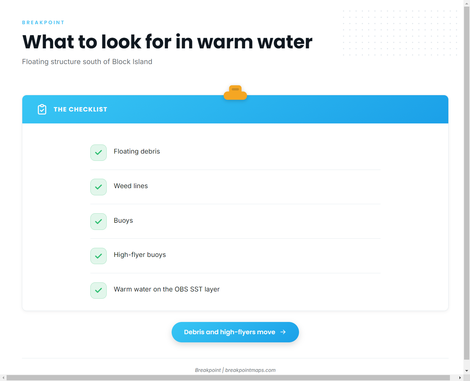
Once you are in warm water, check structure in this order:
- Floating debris.
- Weed lines.
- Buoys.
- High-flyer buoys.
Debris, weed lines and high-flyers move. A spot that held structure one day may be empty the next, so treat every mark as a place to look rather than a place to return to.
You can read warm water south of Block Island on the OBS SST layer in Breakpoint before you leave the dock.
Canyon trips
Mahi are part of the canyon trips run from Point Judith, and the same floating structure applies: debris, weed lines and high-flyers. For the other species in that water, see other offshore species that share the canyon run.
Reading tide and forecast before the run
NOAA tide station 8455083 at Point Judith gives tide for the port. It is a tide station, not a buoy, so it carries no offshore wave, wind or temperature data. For wind, wave height and period, check the official NOAA marine forecast before you leave Galilee, and go by the numbers.
Grounds and structure near Point Judith
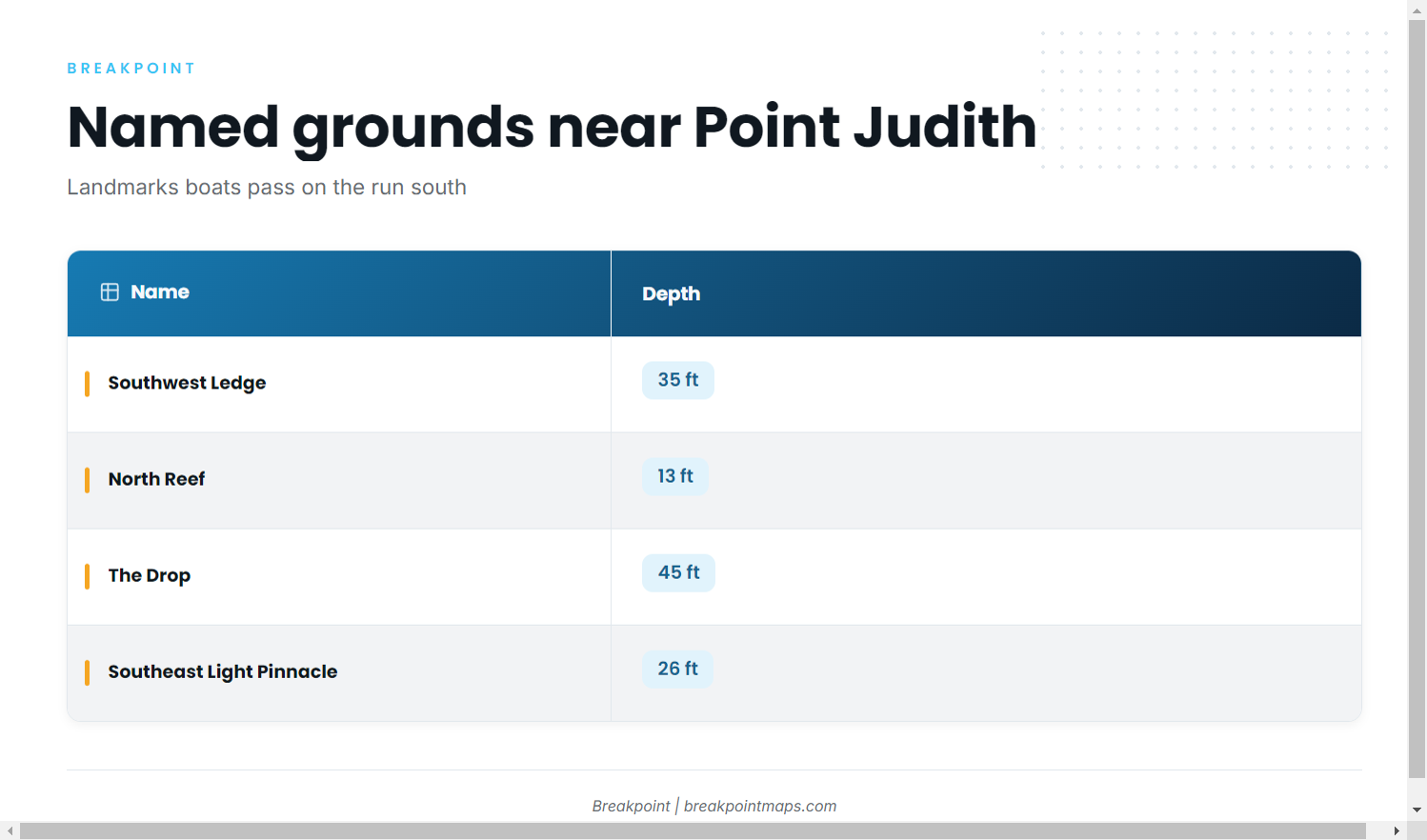
These named grounds and structure near the port are ones boats pass and fish on the run south. They serve as landmarks. Mahi relate to floating debris, weed lines and high-flyers, not to any one of these marks.
| Name | Depth | Coordinates |
|---|---|---|
| Southwest Ledge | 35 ft | – |
| North Reef | 13 ft | – |
| The Drop | 45 ft | – |
| The Peanut | – | – |
| Southeast Light Pinnacle and humps | 26 ft | Pinnacle at about 41-07-25.8 N, 71-33-52.8 W |
| Block Island wind farm turbine bases | – | – |
| Coxes Ledge | – | – |
| The Gully | – | – |
Chart layers and coordinates on this page are not for navigation. The fixed structure stays where it is, but the debris and high-flyers mahi relate to do not.
How mahi are fished locally
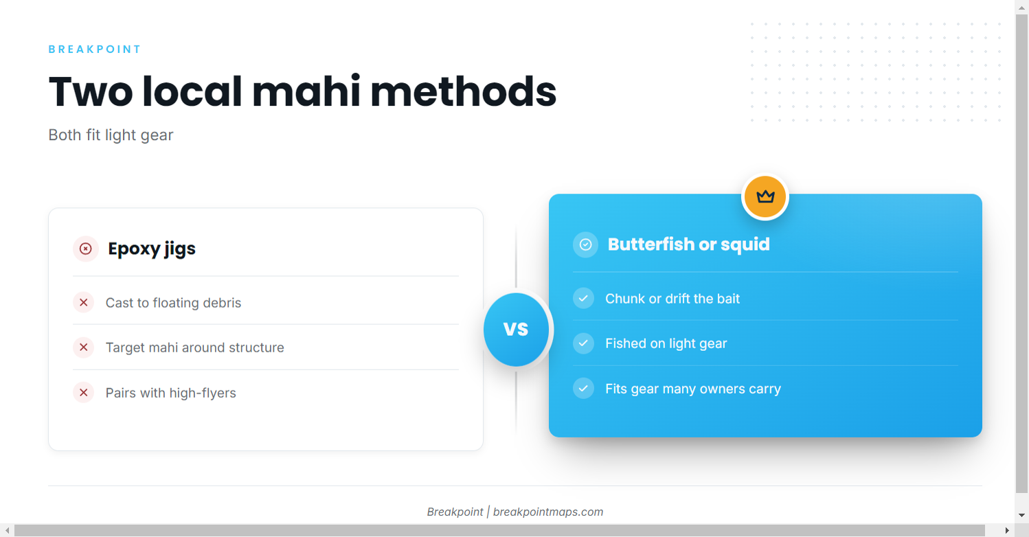
Two methods cover most of the local mahi fishing out of this port:
- Casting epoxy jigs to mahi around debris.
- Chunking or drifting butterfish or squid on light gear.
Casting epoxy jigs to debris
Find the floating debris, get the boat close enough for a cast, and put the epoxy jig where the fish are holding.
Chunking or drifting butterfish or squid on light gear
Anglers chunk or drift butterfish or squid on light gear, which fits tackle many Point Judith owners already carry.
Who fishes for mahi out of Point Judith
These Point Judith charters list mahi-mahi:
- Frances Fleet
- C-Devil II Sportfishing
- Aerie Charters
- The Fleet RI
Frances Fleet
- Soundings describes the Gail Francis (90 ft) and the Francis (46 ft).
C-Devil II Sportfishing
- Captain Kelly Smith and First Mate Gib Randall.
- Details and booking are on the C-Devil II Sportfishing charters page.
Aerie Charters
- Aerie One, skippered by Captain Howard "Buzz" Smart.
The Fleet RI
- 3 boats: a 21 ft Sea Hunt, a 26 ft Edgewater and a 29 ft Albemarle.
- See The Fleet RI boats for the current boat list.
FAQ
Where do boats look for mahi-mahi fishing out of Point Judith?
Boats look around floating debris, weed lines, buoys and high-flyer buoys in warm water south of Block Island, and on the canyon trips. Debris and high-flyers move, so a spot that held structure one day may be empty the next.
What methods are used locally?
Anglers cast epoxy jigs to mahi around debris. They also chunk or drift butterfish or squid on light gear.
Which Point Judith charters list mahi-mahi?
Frances Fleet, C-Devil II Sportfishing, Aerie Charters and The Fleet RI list mahi-mahi. The Fleet RI runs 3 boats, a 21 ft Sea Hunt, a 26 ft Edgewater and a 29 ft Albemarle.
What is NOAA station 8455083?
It is the NOAA tide station at Point Judith. It gives tide, not offshore wave or wind data. For wind, wave height and period, check the official NOAA marine forecast.
Where are the rules for mahi caught from Point Judith?
RI DEM sets the state rules. Federal rules apply to fish caught in federal waters on canyon trips. Check both before fishing.
Do mahi hold on the named grounds like Coxes Ledge or Southeast Light?
Those grounds are landmarks boats pass and fish on the run south. Mahi relate to floating debris, weed lines and high-flyers in warm water south of Block Island, and we make no holding claim for any named ground.