When the Stripers Are Here
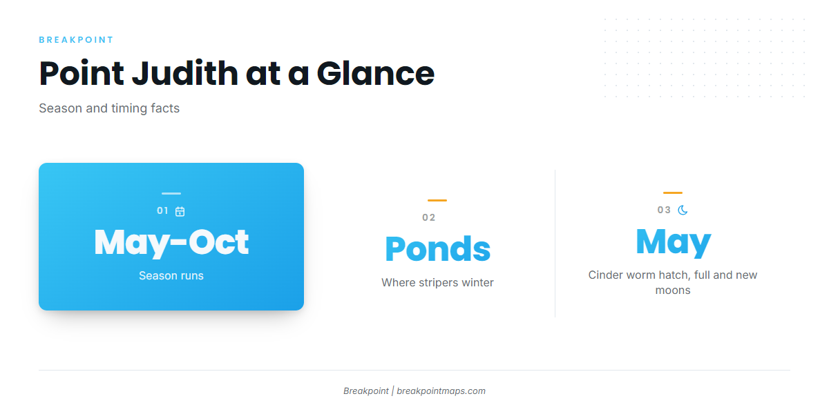
Striped bass fishing out of Point Judith runs May through October. Boats work the salt ponds and lighthouse rocks inshore, then run to Block Island’s Southwest Ledge and North End to drift live eels, drop weighted eels, and troll parachutes and tubes.
Stripers winter in the Point Judith salt ponds, which is why the ponds and breachways fish early, before boats start running to the island. The spring cinder worm hatch comes on the May full and new moons and draws bass into the backwaters. For biology and migration, see the striped bass guide. For the coastal run that feeds this port, see the Atlantic Northeast picture (see also the wider Atlantic Northeast guide).
| Window | What happens |
|---|---|
| May | Cinder worm hatch on the full and new moons, bass in the backwaters |
| May through October | Boats run to Block Island and work the local grounds |
| Winter | Stripers hold in the salt ponds |
Where Boats Run and What Holds Fish
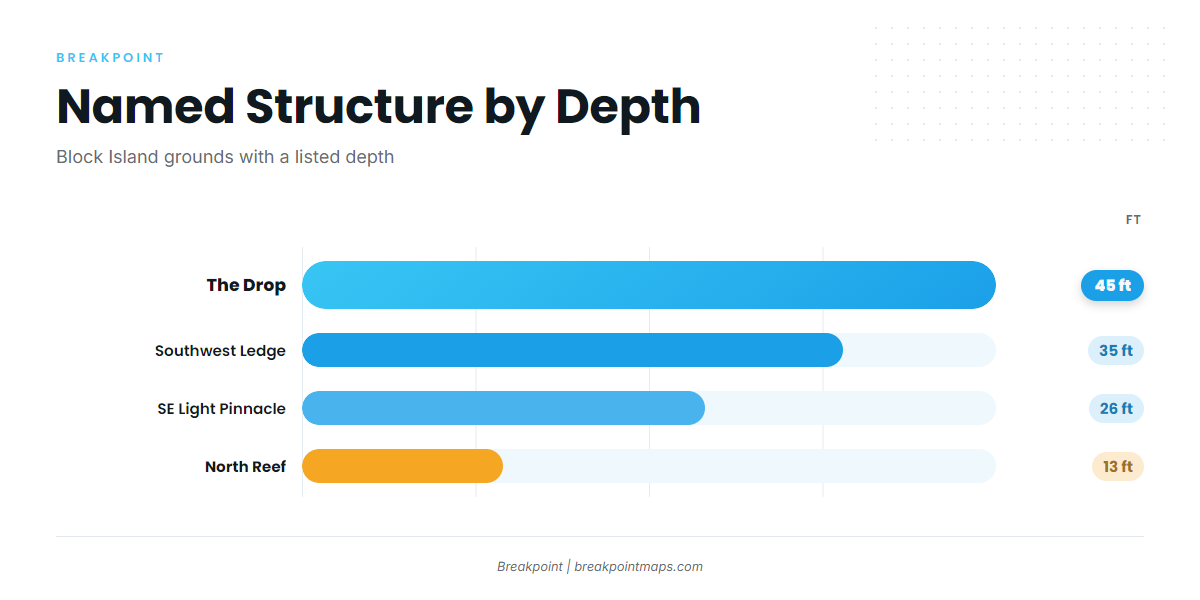
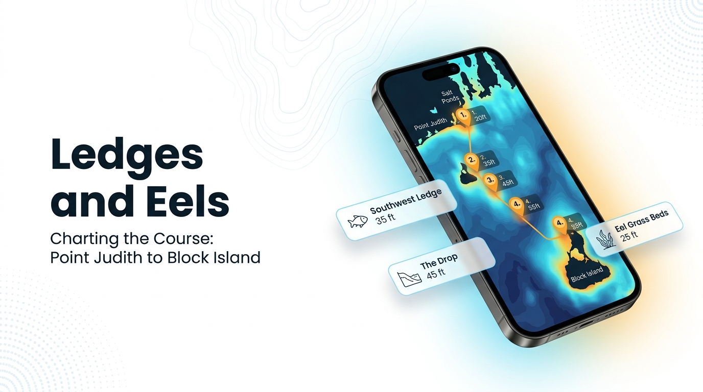
The run goes from the ponds and the lighthouse out to Block Island and beyond. Each ground fishes differently, and the methods in the next section map onto them.
| Ground | Depth (ft) | Note |
|---|---|---|
| North Reef | 13 | Off Block Island North End |
| Southeast Light Pinnacle and humps | 26 | Pinnacle at about 41-07-25.8 N, 71-33-52.8 W |
| Southwest Ledge | 35 | Weighted eels on the drops |
| The Drop | 45 | |
| The Peanut | ||
| Block Island wind farm turbine bases | Structure | |
| Coxes Ledge | ||
| The Gully |
Southwest Ledge, The Drop, and the Southeast Light Pinnacle appear on the Chart Contours layer. Chart layers are not for navigation.
Salt Ponds and Breachways
Bass winter in the Point Judith salt ponds, and the May full and new moon cinder worm hatch pulls them into the backwaters. The breachways are fished with bucktails, covered below.
Point Judith Lighthouse Rocks
Boats work the rocks at the Point Judith lighthouse for bass. It is the nearest structure to the harbor mouth.
Block Island North End and North Reef
North End fishing sits inside the 3-mile line. North Reef is 13 ft. Live eels drifted near bottom are the local method here.
Southwest Ledge and The Drop
Southwest Ledge is about 35 ft and sits inside the 3-mile line. The Drop is 45 ft. Weighted eels of 5 to 8 oz go on the ledge drops, and boats use heavier tackle on the ledge.
Southeast Light Pinnacle and Humps
The pinnacle and humps are 26 ft. The pinnacle sits at about 41-07-25.8 N, 71-33-52.8 W. Coordinates are not for navigation.
Block Island Wind Farm Turbine Bases
The turbine bases are named structure that boats work for bass. Treat them as a mark on the chart like any other piece of hard bottom.
The Peanut, Coxes Ledge and The Gully
The Peanut, Coxes Ledge, and The Gully are named grounds near the port. Boats include them when planning a day of structure fishing.
How It’s Fished Locally
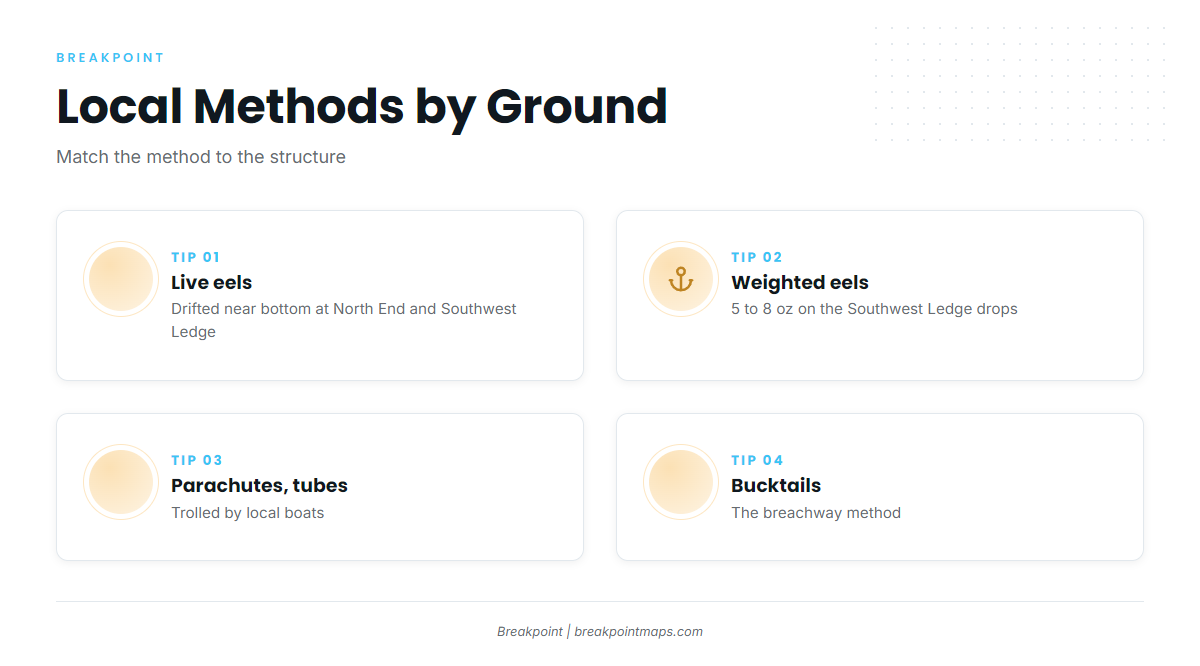
Four methods cover most of the local fishing, and each fits a specific piece of structure from the section above.
Live Eels Near Bottom
Live eels are drifted near bottom. This is the method on Block Island North End and Southwest Ledge.
Weighted Eels on Southwest Ledge
Weighted eels of 5 to 8 oz go on the Southwest Ledge drops, with heavier tackle on the ledge.
Drifts depend on the tide, so read predictions from NOAA tide station 8455083 at Point Judith. Predictions can differ from actual conditions, so check them against what the water is doing at the ledge.
Parachutes and Tube Lures
Local boats troll parachutes and tube lures. They cover ground between the marks and work the open water around them.
Bucktails in the Breachways
Bucktailing is the breachway method. It ties back to the salt pond fishing above, where bass hold through the winter and move in on the worm hatch.
Who Fishes Them Out of Point Judith
These local charters list striped bass:
- Frances Fleet: the Gail Francis (90 ft) and the Francis (46 ft).
- C-Devil II Sportfishing: Captain Kelly Smith and First Mate Gib Randall.
- Aerie Charters: Aerie One, skippered by Captain Howard "Buzz" Smart.
- The Fleet RI: a 21 ft Sea Hunt, a 26 ft Edgewater, and a 29 ft Albemarle.
- Reel to Reel Sportfishing: a 40 ft Young Brothers downeast sportfisher.
- Aces Wild Charters: a 35 ft Henriques Maine coaster.
FAQ
When do stripers show at Point Judith?
The season is May through October. Fish winter in the salt ponds, so the backwaters and breachways fish early. The cinder worm hatch comes on the May full and new moons and draws bass into the backwaters.
What weight eel works on Southwest Ledge?
Weighted eels of 5 to 8 oz go on the ledge drops, with heavier tackle. The ledge is about 35 ft. That covers where to look and what to bring, though it says nothing about whether fish will be there.
When is the cinder worm hatch?
It comes on the May full and new moons and draws bass into the Point Judith salt pond backwaters. Plan around the moon phase rather than a calendar date.
Where do Point Judith striped bass winter?
They winter in the Point Judith salt ponds. The ponds and breachways are fished from spring onward, with bucktails in the breachways and the worm hatch pulling fish into the backwaters.
Which tide station should I use?
Use NOAA tide station 8455083 at Point Judith. Predictions can differ from actual conditions, so check them against what the water is doing where you fish.
Are the Block Island grounds in state waters?
North End and Southwest Ledge fishing happens inside the 3-mile line. For the rules, see the Regulations section above. Coxes Ledge and The Gully are offshore grounds out of this port. For other species on those grounds, see offshore gamefish out of the Northeast coast.