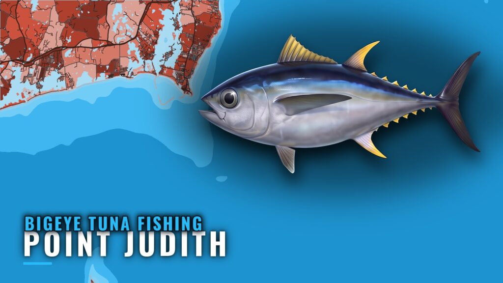
Bigeye out of Point Judith
Bigeye tuna fishing out of Point Judith means a canyon trip. Boats leave from the Point Judith and Galilee docks and run offshore, and the bigeye reports come from those trips. The fish are around when canyon trips are running and reporting them. For biology, temperature and seasonality, read our bigeye tuna species guide.
This page covers where boats run, the structure near the port, how locals fish, who runs the trips and where the rules live.
Where boats run
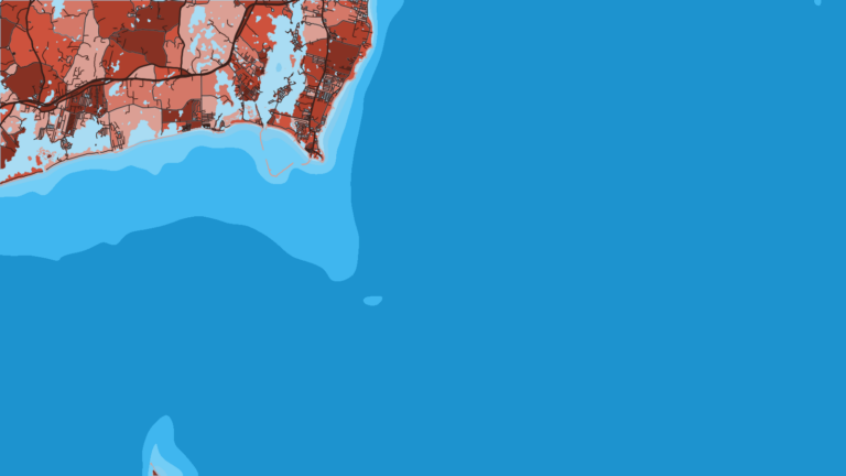
Canyon trips run from Point Judith. For the wider canyon picture, see the wider Atlantic Northeast canyon picture (see also the wider Atlantic Northeast guide).
Canyon trips
To catch a bigeye from this port, plan a canyon trip. The nearby grounds are worth knowing, but no bigeye reports come from them.
Overnight trips
Overnight canyon charters report bigeye alongside yellowfin and bluefin.
| Trip type | Reported catch |
|---|---|
| Overnight canyon charter | bigeye tuna, yellowfin tuna, bluefin tuna |
Grounds and structure near Point Judith
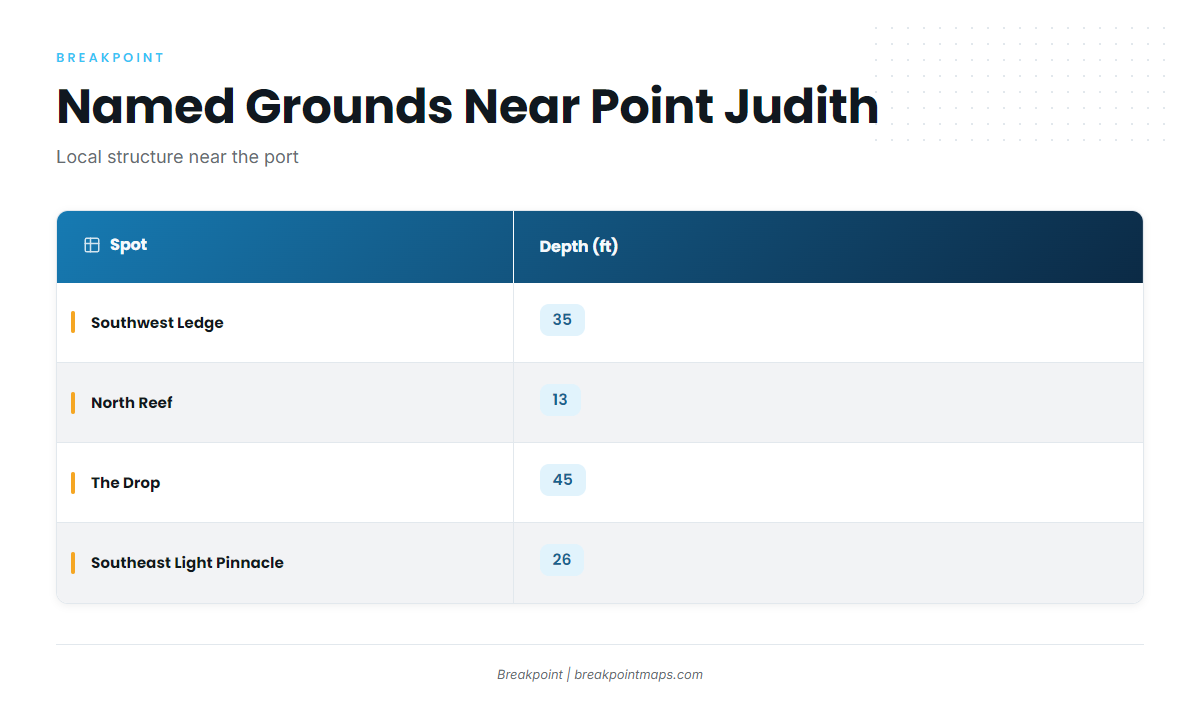
The spots below are named grounds and structure near the port. Bigeye reports come from canyon trips, not from these spots.
| Spot | Depth (ft) | Position |
|---|---|---|
| Southwest Ledge | 35 | |
| North Reef | 13 | |
| The Drop | 45 | |
| Southeast Light Pinnacle and humps | 26 | Pinnacle at about 41-07-25.8 N, 71-33-52.8 W |
These spots appear in the Breakpoint app with the Chart Contours layer. Chart layers are not for navigation.
Southwest Ledge
Southwest Ledge shoals to 35 ft.
North Reef
North Reef is the shallowest of the named spots at 13 ft.
The Drop
The Drop is 45 ft.
The Peanut
The Peanut is a named local ground near Point Judith.
Southeast Light Pinnacle and humps
The pinnacle and humps are 26 ft. The pinnacle sits at about 41-07-25.8 N, 71-33-52.8 W.
Block Island wind farm turbine bases
The Block Island wind farm turbine bases are named structure near the port.
Coxes Ledge
Coxes Ledge is a named ground near Point Judith.
The Gully
The Gully is a named ground near Point Judith.
NOAA tide station 8455083 at Point Judith is the nearest station for water levels. Read it alongside the official marine forecast before you run.
How bigeye are fished here and who fishes for them
Bigeye out of Point Judith are caught by offshore trolling on canyon trips.
Offshore trolling
Offshore trolling on canyon trips is the only method described locally. Yellowfin and bluefin come along on the same trips.
C-Devil II Sportfishing
C-Devil II Point Judith charters list bigeye tuna. Captain Kelly Smith and First Mate Gib Randall run the boat. Yellowfin and bluefin turn up on the same trips, and our tuna guides cover both.
Aerie Charters
Aerie Charters lists bigeye tuna. The boat is Aerie One, skippered by Captain Howard "Buzz" Smart.
FAQ: bigeye tuna fishing out of Point Judith
Do boats find bigeye inshore near Point Judith?
No. Bigeye are reported on canyon trips from the port. Southwest Ledge, Coxes Ledge and the Block Island wind farm turbine bases are local structure near Point Judith, and none of them is a bigeye ground.
What else comes up on overnight canyon trips?
Yellowfin and bluefin. Overnight canyon charters report bigeye alongside both, and those three tunas are the catch reported for these trips from Point Judith.
Which Point Judith charters list bigeye tuna?
C-Devil II Sportfishing lists bigeye tuna, with Captain Kelly Smith and First Mate Gib Randall. Aerie Charters also lists bigeye tuna, with Aerie One skippered by Captain Howard "Buzz" Smart.
Where is the Southeast Light Pinnacle?
The pinnacle sits at about 41-07-25.8 N, 71-33-52.8 W, with 26 ft over the pinnacle and humps. Chart layers are not for navigation.
Which NOAA station covers Point Judith?
NOAA tide station 8455083 at Point Judith is the nearest station. Because it is a tide station, pair it with the official marine forecast for wind and seas.
What method do local boats use for bigeye?
Offshore trolling on canyon trips is the method described locally.