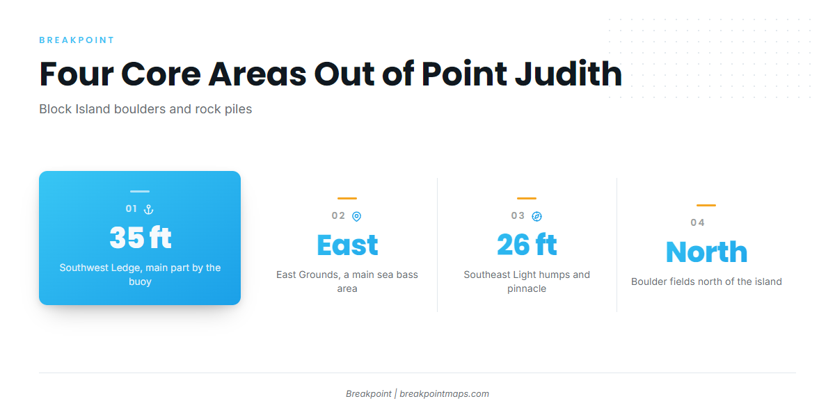
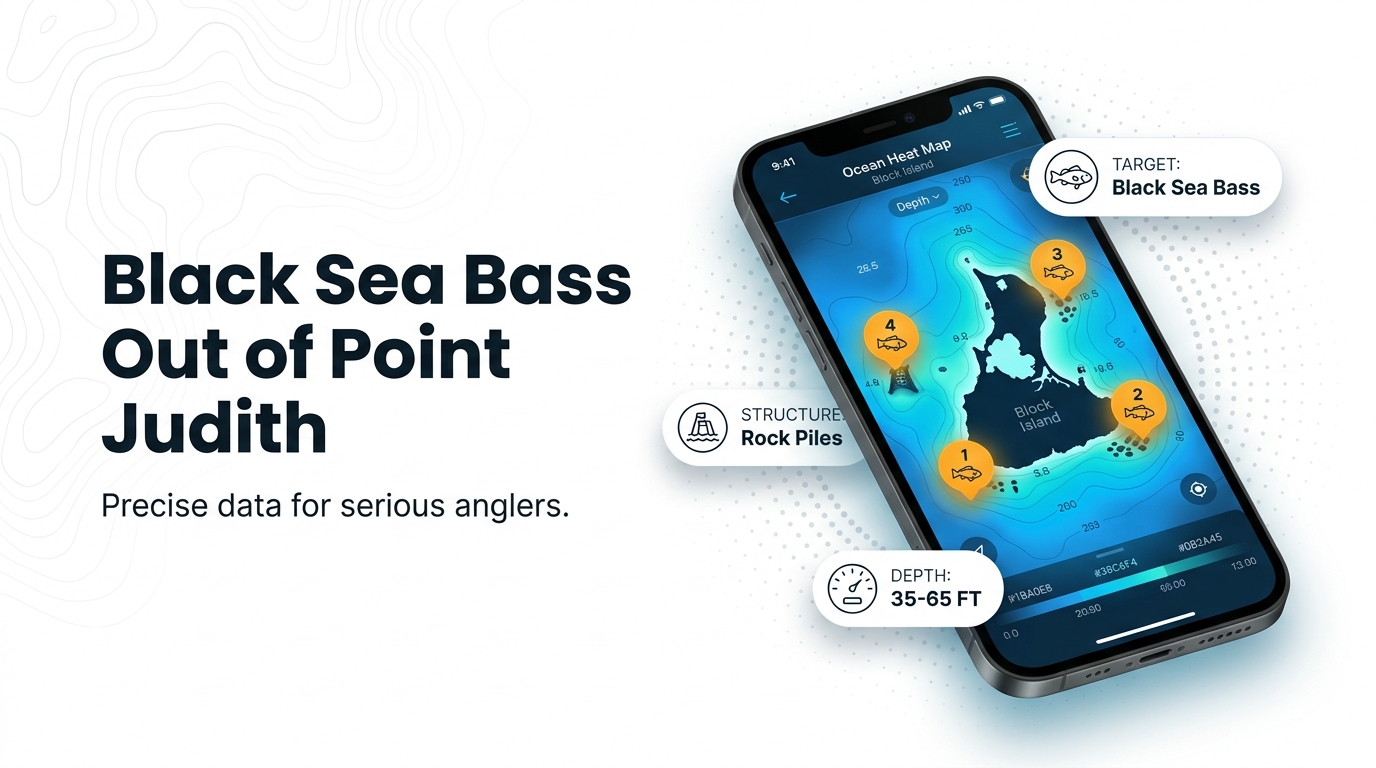
Black sea bass fishing out of Point Judith centers on the boulders and rock piles around Block Island. Boats concentrate on four areas: the main part of Southwest Ledge by the buoy, the East Grounds, the humps and bumps around Southeast Light, and the boulder fields north of the island. For ramps, harbor and conditions for the port, see our Point Judith page. Below are the named structure with depths, how it is fished, and who fishes it. The wider picture is in the black sea bass fishing in the Atlantic Northeast and the Atlantic Northeast region guide.
When black sea bass are here
Frances Fleet runs daily fluke and sea bass trips from May. Because fluke and sea bass are fished on the same trips, the fleet’s schedule is the clearest marker that the season is underway. Our black sea bass guide covers the migration and biology.
Where boats run and the structure that holds fish
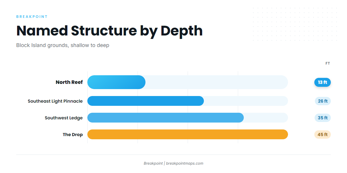
Boats out of Galilee and Point Judith run to the Block Island boulders and rock piles. The water is a set of separate pieces of structure, and each one fishes a little differently.
Southwest Ledge
Boats concentrate on the main part of Southwest Ledge, by the buoy. Depth is 35 ft.
East Grounds
The East Grounds are one of the main Block Island sea bass areas that boats from this port work.
Southeast Light humps
Boats fish the humps and bumps around Southeast Light. The Southeast Light Pinnacle sits in 26 ft, at about 41-07-25.8 N, 71-33-52.8 W. Use the position as a reference point rather than a navigation fix.
Boulder fields north of the island
Boats also fish the boulder fields north of Block Island. The shallowest named structure in the table below is North Reef at 13 ft.
Named grounds at a glance
| Name | Depth | Note |
|---|---|---|
| North Reef | 13 ft | Shallowest named structure listed |
| Southeast Light Pinnacle and humps | 26 ft | Pinnacle at about 41-07-25.8 N, 71-33-52.8 W |
| Southwest Ledge | 35 ft | Main part by the buoy |
| The Drop | 45 ft | Deepest depth given |
| The Peanut | Named ground | |
| The Gully | Named ground | |
| Coxes Ledge | Named ground | |
| Block Island wind farm turbine bases | Fixed structure |
Depths and positions are reference points, so check them against your chart and sounder. Breakpoint’s Chart Contours layer helps read this structure, but chart layers are not for navigation.
How sea bass are fished locally
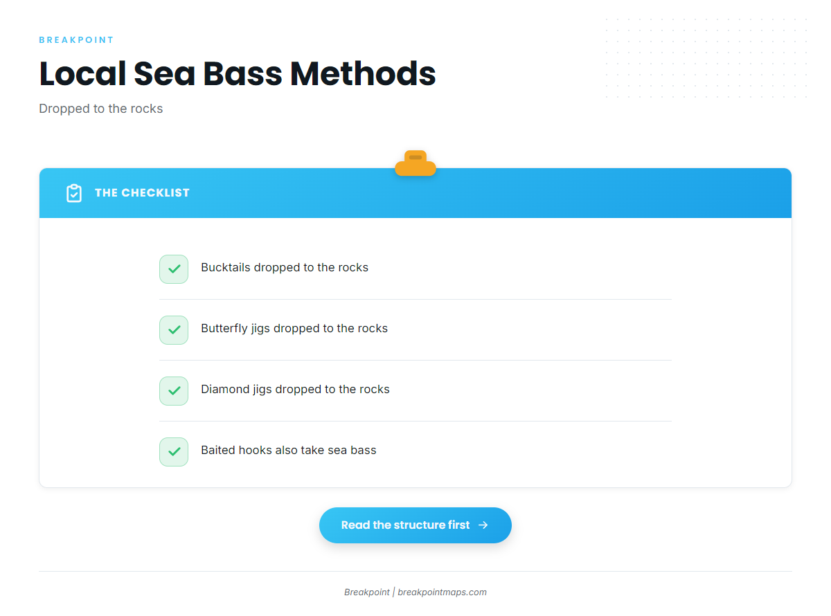
Local anglers drop metal offerings straight to the rocks. The common choices are:
- Bucktails
- Butterfly jigs
- Diamond jigs
Soundings notes that sea bass will take jigs as well as baited hooks. For broader structure-fishing technique, see our reef fish fishing guides.
Who fishes for sea bass out of Point Judith
These operators list black sea bass out of this port:
- Frances Fleet: Daily fluke and sea bass trips from May. The Soundings cruising guide to Point Judith describes the fleet’s Gail Francis (90 ft) and the Francis (46 ft).
- C-Devil II Sportfishing out of Point Judith: Captain Kelly Smith and First Mate Gib Randall.
- Aerie Charters: Aerie One, skippered by Captain Howard "Buzz" Smart.
- Reel to Reel Sportfishing: A 40 ft Young Brothers downeast sportfisher.
- Aces Wild Charters: A 35 ft Henriques Maine coaster.
- JL Charters (Jennifer Lee)
A trip with any of these boats is one way to see the grounds fished before you run your own.
FAQ about black sea bass fishing out of Point Judith
Where do Point Judith boats fish sea bass?
On the Block Island boulders and rock piles: Southwest Ledge by the buoy, the East Grounds, the humps and bumps around Southeast Light, and the boulder fields north of the island.
How deep is Southwest Ledge?
35 ft. The main part of the ledge is by the buoy.
Where is the Southeast Light Pinnacle?
At about 41-07-25.8 N, 71-33-52.8 W, in 26 ft. Use it as a reference point rather than a navigation fix.
What jigs work for sea bass out of Point Judith?
Bucktails, butterfly jigs and diamond jigs, dropped to the rocks. Sea bass also take baited hooks.
Which party boat runs sea bass trips?
Frances Fleet runs daily fluke and sea bass trips from May. Its boats include the Gail Francis (90 ft) and the Francis (46 ft).
Where do I check tides for Point Judith?
Use NOAA tide station 8455083 at Point Judith. It is a tide station, not a buoy, and its numbers are predictions. For wind and sea numbers, go to the official NWS marine forecast.