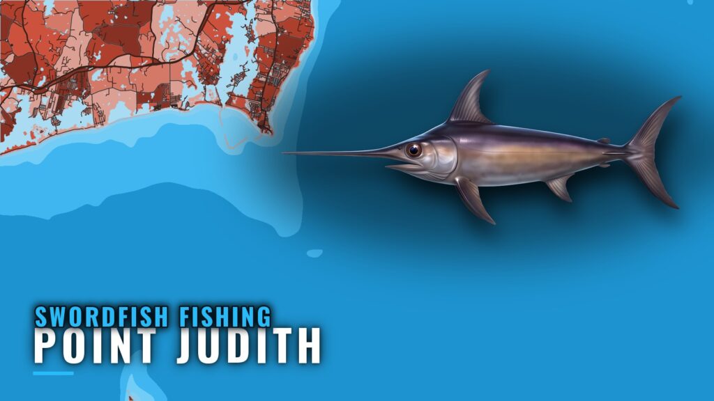
When swordfish are around Point Judith
Sport Fishing puts the swordfish season here in summer, and that is the window to plan around.
Summer season
Swordfish fishing out of Point Judith is an offshore fishery that peaks in summer. Boats run to the canyon grounds and fish night trips from the port. This page covers the season, where boats run, the structure on the way out, the local method, and who fishes for swordfish from here. Biology, rigging and bait are in our swordfish guide. For the regional season beyond "summer," see the Northeast swordfish picture (see also the Atlantic Northeast offshore fishing guide).
Night trips
C-Devil II also runs night deep-drop trips.
Where boats run
Swordfish are an offshore target from this port, and boats follow two patterns.
Canyon grounds
Boats run to the canyon grounds for swordfish. This is the main destination for the fishery.
Night trips off Point Judith
The other pattern is night trips, which run after dark. The method section below covers how they fish.
Reading conditions
NOAA tide station 8455083 at Point Judith is the reference for water level and tides. It is a tide station, not a wave buoy, so it does not report sea state. Wind and sea numbers come from the official NOAA forecast for your zone.
| Source | What it gives you | What it does not |
|---|---|---|
| NOAA tide station 8455083 | Water level and tides at Point Judith | Wave height or period |
| Official NOAA marine forecast | Wind and sea numbers | Local water level at the dock |
Grounds and structure near Point Judith
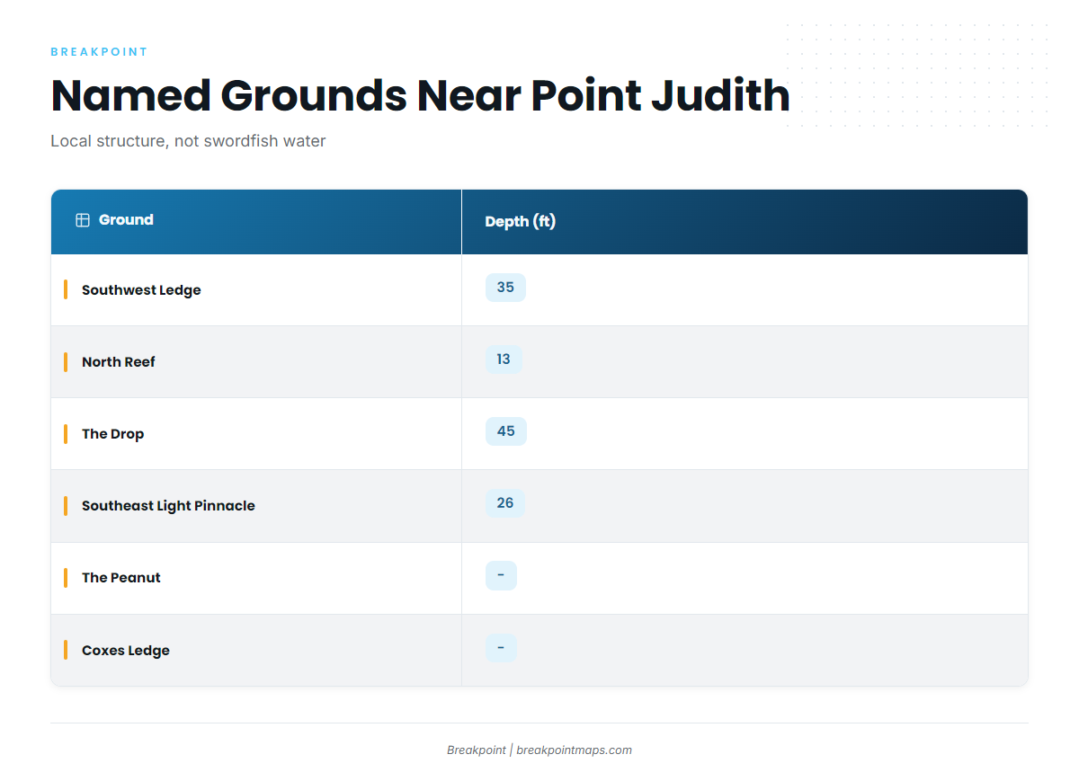
Most named structure near the port sits in 13 to 45 ft of water. This is local inshore ground that boats pass or fish around. Swordfish are caught on the canyon grounds and night trips, not at these spots.
| Ground | Depth (ft) | Position |
|---|---|---|
| Southwest Ledge | 35 | |
| North Reef | 13 | |
| The Drop | 45 | |
| The Peanut | ||
| Southeast Light Pinnacle and humps | 26 | about 41-07-25.8 N, 71-33-52.8 W |
| Block Island wind farm turbine bases | ||
| Coxes Ledge | ||
| The Gully |
You can view the structure on the Chart Contours layer in Breakpoint. Chart layers are not for navigation.
Inshore ledges and reefs
Southwest Ledge, North Reef, The Drop and The Peanut are the inshore structure near the port.
Southeast Light Pinnacle
The pinnacle and humps top out at 26 ft, with the pinnacle at about 41-07-25.8 N, 71-33-52.8 W.
Wind farm and offshore ground
The Block Island wind farm turbine bases, Coxes Ledge and The Gully make up the rest of the named ground.
How swordfish are fished here
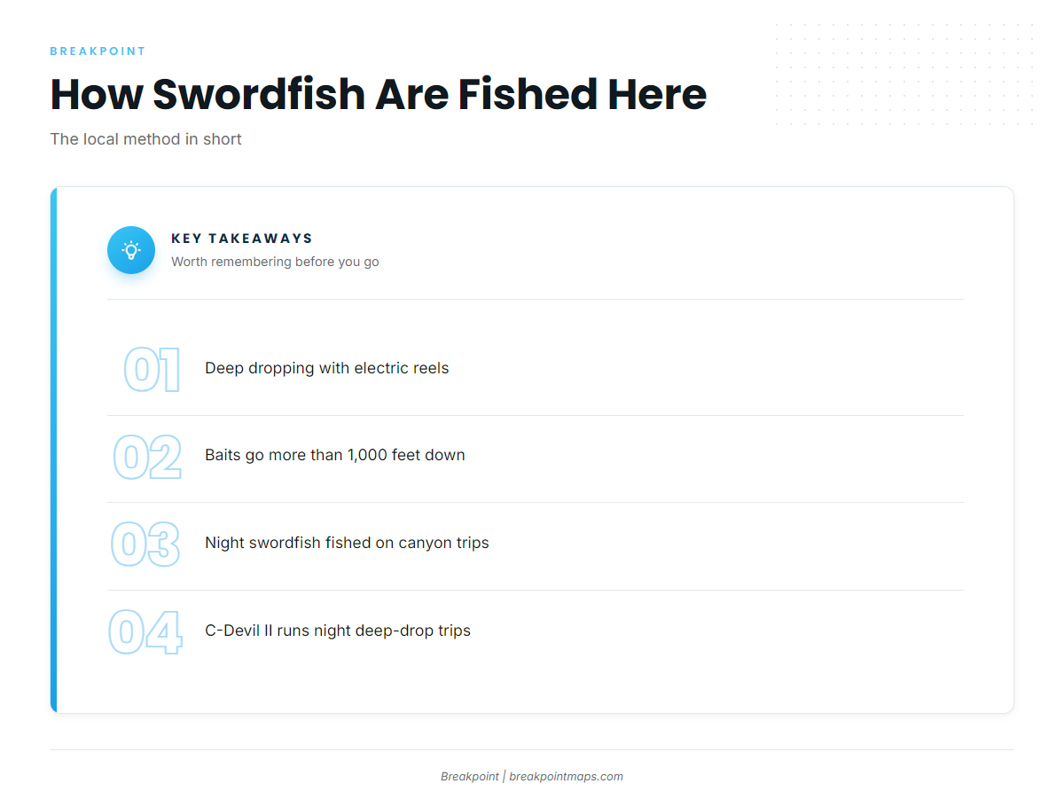
Two methods define the local fishery, and both are offshore work.
Deep dropping with electric reels
Deep dropping with electric reels sends baits more than 1,000 feet down. C-Devil II Sportfishing lists this method for its swordfish trips.
Night swordfish on canyon trips
Night swordfish are fished on canyon trips. C-Devil II’s night deep-drop trips are the local example.
Who fishes for swordfish out of Point Judith
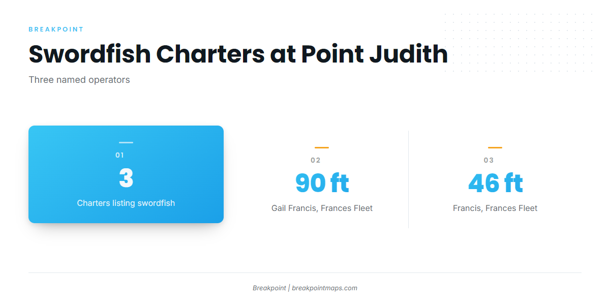
Three charters list swordfish from this port. For the wider billfish picture on canyon trips, see the wider billfish picture.
Frances Fleet
Frances Fleet lists swordfish. Soundings describes the Gail Francis at 90 ft and the Francis at 46 ft.
C-Devil II Sportfishing
C-Devil II runs under Captain Kelly Smith with First Mate Gib Randall, and it runs night deep-drop trips.
Aerie Charters
Aerie Charters lists swordfish aboard Aerie One, skippered by Captain Howard "Buzz" Smart.
FAQ: swordfish fishing out of Point Judith
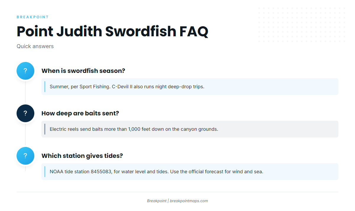
When is swordfish season out of Point Judith?
Summer, per Sport Fishing. C-Devil II also runs night deep-drop trips.
How deep are baits sent when deep dropping?
Electric reels send baits more than 1,000 feet down on the canyon grounds.
Which charters run swordfish trips from Point Judith?
Frances Fleet, C-Devil II Sportfishing and Aerie Charters list swordfish. C-Devil II also runs night deep-drop trips.
Where is Southeast Light Pinnacle?
It sits at about 41-07-25.8 N, 71-33-52.8 W, at 26 ft. It is inshore structure; swordfish are caught on the canyon grounds.
Which station gives conditions for Point Judith?
NOAA tide station 8455083, for water level and tides. Use the official forecast for wind and sea.