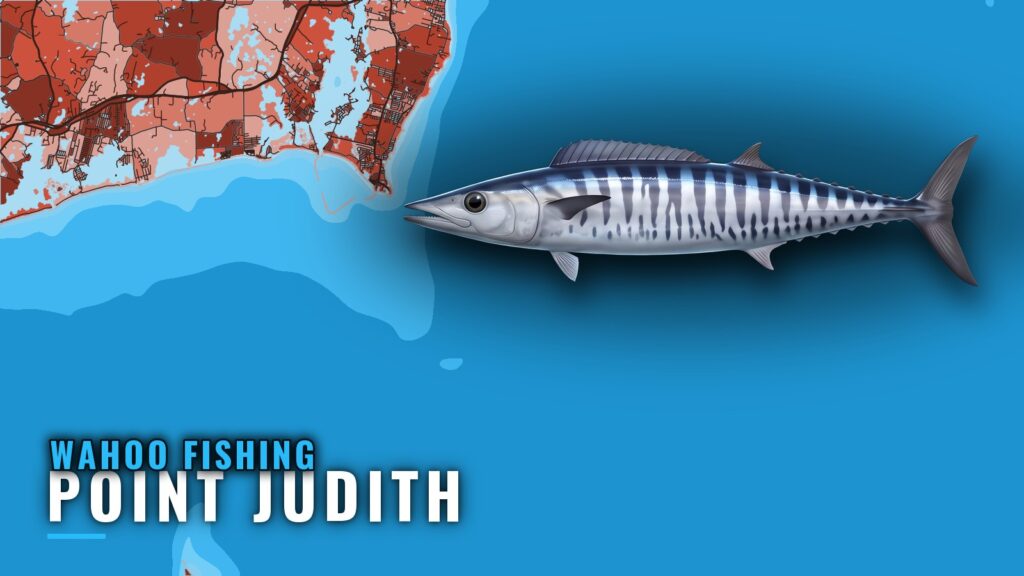
Where Boats Run for Wahoo South of Block Island
Wahoo fishing out of Point Judith means deep trolling passes along the larger weed lines south of Block Island. The fish work the weed, and the ledges and humps serve as places to take your bearings.
Wahoo forage around floating material, so weed lines and anything drifting on the surface matter. A weed line moves, which makes the one you found last trip a starting point and nothing more.
Boats leave from Point Judith and head south of Block Island. Plan the day around the weed, and use the named grounds below as reference marks along the way. For the fish itself, see the wahoo guide.
- Target: larger weed lines south of Block Island
- Method: deep trolling passes along the line
- Reference: named ledges, humps and structure near the port
- Limit: weed lines shift, so each trip starts with finding the line
When Wahoo Are Around Point Judith
The fish follow the weed. When the larger weed lines set up south of Block Island, that is the water to check.
A weed line worth working is the go signal, rather than the calendar. If the water holds no such line, that settles the day. For the seasonal picture across the Northeast (see also the Atlantic Northeast region guide), use the regional page.
- Go signal: a larger weed line south of Block Island
- Hold signal: no line worth a pass
- Next step: check the line again on your next trip
Grounds and Structure Near Point Judith
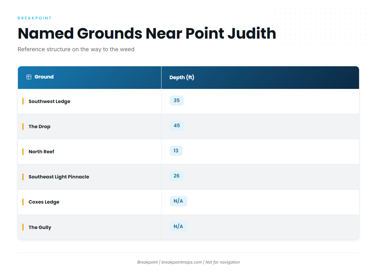
These named grounds near the port are structure to navigate by on the way to the weed. They are not proven wahoo spots.
| Name | Depth (ft) | Note |
|---|---|---|
| Southwest Ledge | 35 | |
| The Drop | 45 | |
| North Reef | 13 | |
| Southeast Light Pinnacle and humps | 26 | Pinnacle at about 41-07-25.8 N, 71-33-52.8 W |
| Block Island wind farm turbine bases | ||
| Coxes Ledge | ||
| The Gully | ||
| The Peanut |
Positions are approximate, and chart layers are not for navigation. You can view the ledges and humps on Chart Contours before you go.
Southwest Ledge and The Drop
Southwest Ledge sits at 35 ft and The Drop at 45 ft. Both work as reference structure on the run out.
North Reef
At 13 ft, North Reef is the shallowest named ground on this list.
Southeast Light Pinnacle and Humps
The pinnacle sits at 26 ft, at about 41-07-25.8 N, 71-33-52.8 W. The ground takes its name from Southeast Light, which also gives you a landmark to work from.
Block Island Wind Farm Turbine Bases
The turbine bases are named structure near the port and a fixed point to orient from.
Coxes Ledge, The Gully and The Peanut
Coxes Ledge, The Gully and The Peanut complete the list of named grounds near the port. Add them to your chart as further reference points.
How Wahoo Are Fished Locally
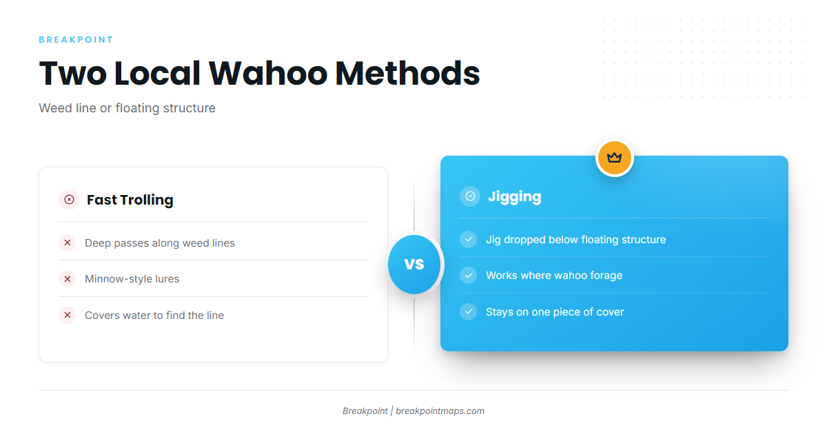
Two methods are used here, and both tie back to the weed. For tackle and general technique, see our offshore gamefish pages.
Fast Trolling the Weed Lines
Boats make fast trolling passes along weed lines with minnow-style lures. Work along the line and watch its edges. Each pass covers new water, and a fast boat covers a lot of it.
Jigging Below Floating Structure
When you find floating structure, drop a jig below it to reach fish holding under the cover. The reasoning is the same as for trolling: wahoo hold where the floating material is.
Reading the Tide at NOAA Station 8455083
NOAA tide station 8455083 at Point Judith is the tide reference for timing departure and return. It reads tide, not sea state, so check the official marine forecast for wind, wave height and period before you go.
Who Fishes for Wahoo Out of Point Judith
Two local charters list wahoo.
- C-Devil II Sportfishing: Captain Kelly Smith and First Mate Gib Randall.
- Aerie Charters out of Point Judith: Aerie One, skippered by Captain Howard "Buzz" Smart.
FAQ: Wahoo Fishing Out of Point Judith
Where do Point Judith boats look for wahoo?
On the larger weed lines south of Block Island, worked with deep trolling passes. The named ledges and humps near the port serve as reference points on the run.
What methods are used here?
Fast trolling passes along weed lines with minnow-style lures, and a jig dropped below floating structure.
Which local charters list wahoo?
C-Devil II Sportfishing, with Captain Kelly Smith and First Mate Gib Randall, and Aerie Charters’ Aerie One, skippered by Captain Howard "Buzz" Smart.
What depth is Southeast Light Pinnacle?
26 ft, at about 41-07-25.8 N, 71-33-52.8 W. Chart layers are not for navigation.
Which tide station covers Point Judith?
NOAA tide station 8455083 at Point Judith. It reads tide, not sea state, so check the official forecast for wind, wave height and period.