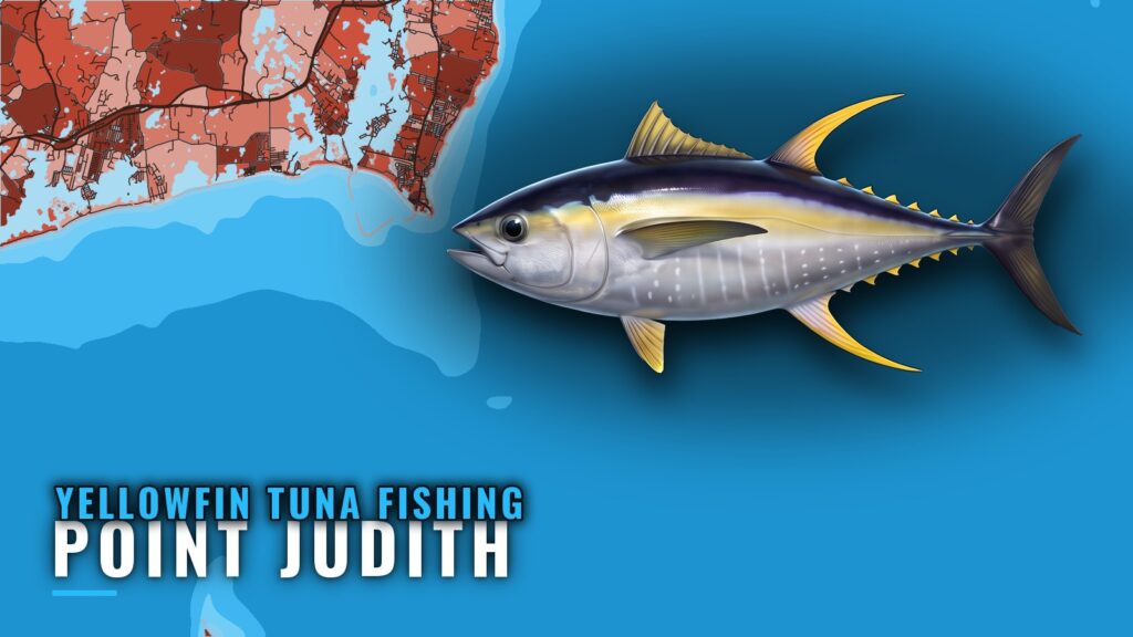
When yellowfin are off Point Judith
Yellowfin tuna fishing out of Point Judith is a summer fishery. Sport Fishing puts canyon yellowfin in summer, and the South of Block grounds follow a similar track: yellowfin take over by July. That makes two fisheries on one calendar, offshore canyon fish through the summer and a nearshore bite that builds toward July. The species picture lives in our yellowfin tuna fishing guide.
| Fishery | Timing | Where |
|---|---|---|
| Canyon yellowfin | Summer | About 95 miles offshore |
| Nearshore yellowfin | By July | South of Block Island |
Where boats run from Point Judith
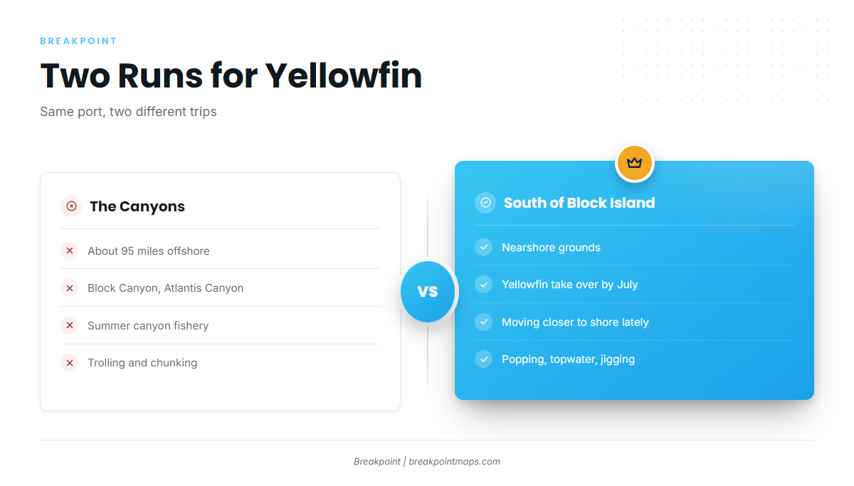
Boats run two directions for yellowfin: the canyons about 95 miles out, and the nearshore grounds south of Block Island. The same summer pattern shows up across the wider Northeast yellowfin picture (see also the wider Atlantic Northeast guide).
The canyons
Block Canyon, Atlantis Canyon and other canyons sit about 95 miles offshore. This is the summer canyon fishery, worked by trolling and by chunking overnight. Both are covered below.
South of Block Island
Soundings reports yellowfin moving closer to shore in recent years, which is why the grounds south of Block Island matter. By July, yellowfin take over the bite there. Popping, topwater and jigging are the methods that fit these grounds.
Grounds and structure near Point Judith
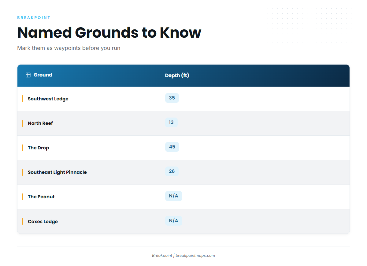
These are the named grounds and structure around Point Judith and Block Island.
| Ground | Depth (ft) | Note |
|---|---|---|
| Southwest Ledge | 35 | |
| North Reef | 13 | |
| The Drop | 45 | |
| The Peanut | ||
| Southeast Light Pinnacle and humps | 26 | Pinnacle at about 41-07-25.8 N, 71-33-52.8 W |
| Block Island wind farm turbine bases | ||
| Coxes Ledge | ||
| The Gully |
Mark the Southeast Light Pinnacle coordinate and the named grounds as waypoints before you run, and check each one against your own plotter and the water that day. Chart layers and coordinates here are not for navigation.
How yellowfin are fished out of Point Judith
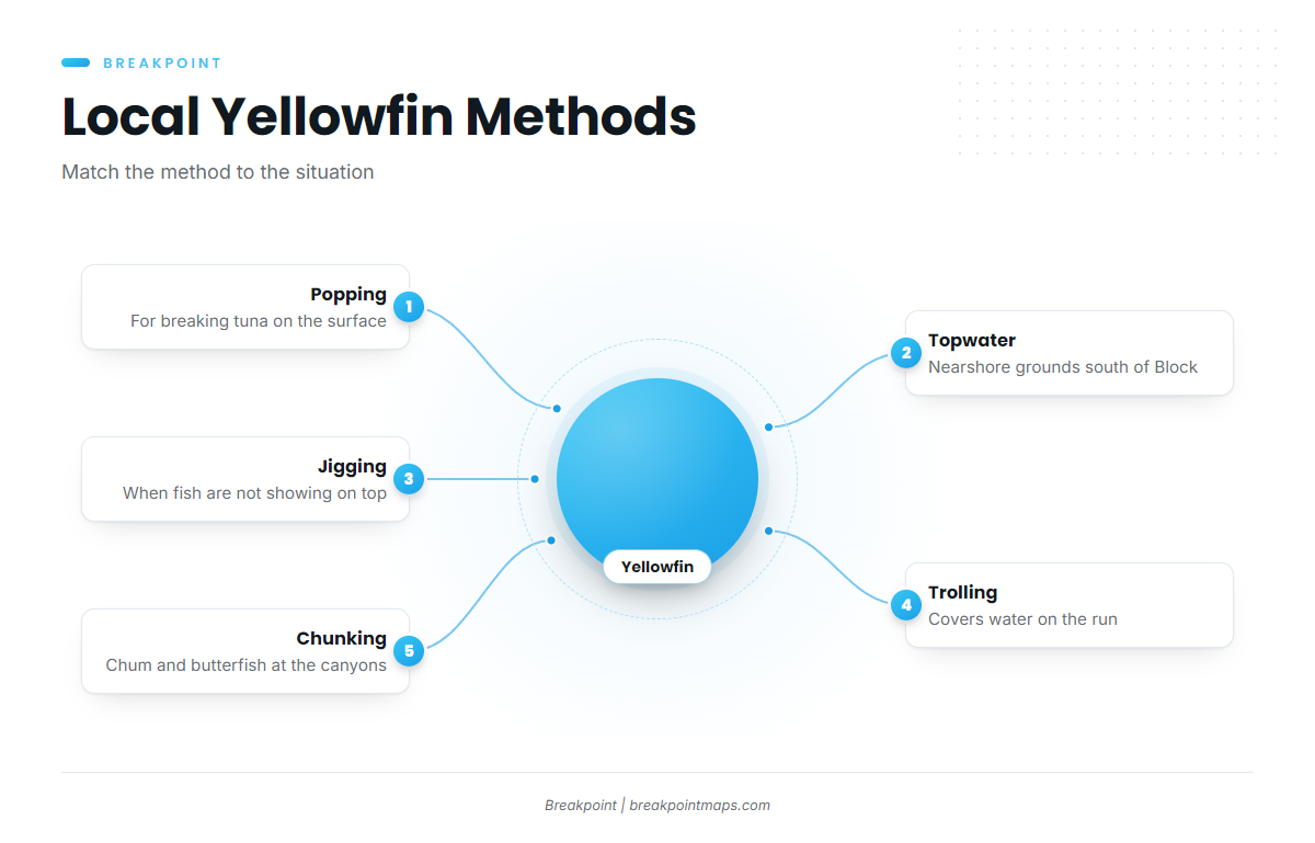
Local boats pop and fish topwater on breaking tuna, jig, troll and chunk. For other tuna methods and species, see our tuna hub.
NOAA tide station 8455083 at Point Judith gives tides and water level. It does not measure offshore wind or sea, so check the official marine forecast for wind, wave height and period before you go.
Popping and topwater on breaking tuna
This is the method for fish on the surface. It suits the nearshore grounds south of Block Island, where yellowfin come within reach of smaller boats. Cast to the fish, work the lure fast and be ready when the school turns.
Jigging
Jigging is the local method for fish that are not showing on top. It works the same nearshore grounds when the surface stays quiet.
Trolling
Trolling covers water on the run and along the canyon edges, so you can search while you travel.
Chunking on a canyon overnight
Frances Fleet’s two-night canyon trip uses chum and butterfish and recommends 100 lb mono and 4 to 16 oz sinkers. That is one documented local setup for the canyon run.
Who fishes for yellowfin out of Point Judith
Four local charters list yellowfin tuna.
Frances Fleet
Frances Fleet runs the two-night canyon trip covered above. Soundings describes the Gail Francis (90 ft) and the Francis (46 ft).
C-Devil II Sportfishing
C-Devil II Sportfishing is run by Captain Kelly Smith with First Mate Gib Randall.
Aerie Charters
Aerie Charters out of Point Judith fishes Aerie One, skippered by Captain Howard "Buzz" Smart.
The Fleet RI
The Fleet RI runs 3 boats: a 21 ft Sea Hunt, a 26 ft Edgewater and a 29 ft Albemarle.
FAQ
How far is the run to the canyons from Point Judith?
About 95 miles, to Block Canyon, Atlantis Canyon and other canyons. Plan the trip around that distance and the official marine forecast.
When do yellowfin show up south of Block Island?
By July. The South of Block article says yellowfin take over by then. Canyon yellowfin come in summer, so the two fisheries overlap on the calendar.
Do yellowfin come inshore?
Soundings reports yellowfin have been moving closer to shore in recent years, which makes the grounds south of Block Island worth checking alongside the canyon run.
What methods work for yellowfin tuna fishing out of Point Judith?
Local anglers pop and fish topwater on breaking tuna, jig and troll. On the Frances Fleet’s canyon trip, chunking with chum and butterfish is the method, with 100 lb mono and 4 to 16 oz sinkers.
Which charters list yellowfin?
Frances Fleet, C-Devil II Sportfishing, Aerie Charters and The Fleet RI all list yellowfin tuna out of Point Judith.
What tide station covers Point Judith?
NOAA tide station 8455083 at Point Judith. It gives tides and water level, not offshore wind or sea, so check the official marine forecast for wind, wave height and period. The ocean data guides on breakpointmaps.com show how those layers work together.