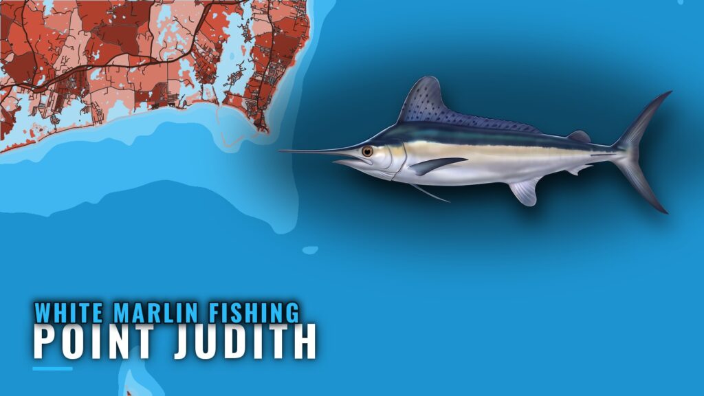
White marlin fishing out of Point Judith comes down to two options in summer: the canyon grounds, or surface-feeding fish south of Block Island in the nearshore grounds. Both runs start from the harbor at Point Judith, and which one you pick shapes the whole day. This page covers when the fish are around, where boats run, the named structure near the port, how whites are fished here, and who runs for them. It will help you decide where to look. It does not promise fish.
When and Where Point Judith Boats Find White Marlin
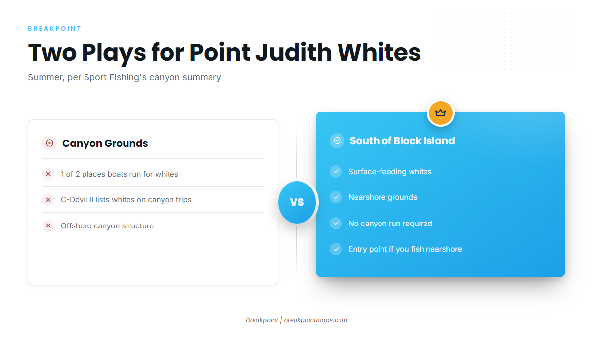
Two decisions come first: the season, and canyon or nearshore. The table sets the two options side by side.
| Play | Where | What you fish |
|---|---|---|
| Canyon grounds | Offshore canyons | Canyon trips |
| South of Block Island | Nearshore grounds | Surface-feeding whites on bait balls |
Season
White marlin are a summer fish here, according to Sport Fishing’s canyon summary. For biology and temperature preferences, see the white marlin species guide.
Canyon Grounds
The canyons are one of the two places Point Judith boats run for whites. The Northeast white marlin guide (see also the Atlantic Northeast offshore fishing guide) covers the regional picture of the canyons and coastwide timing.
South of Block Island
The second option is surface-feeding whites south of Block Island in the nearshore grounds. It skips the canyon run, which makes it a natural entry point if you already fish nearshore. The structure listed below is what you work and pass on the way.
Grounds and Structure Near Point Judith
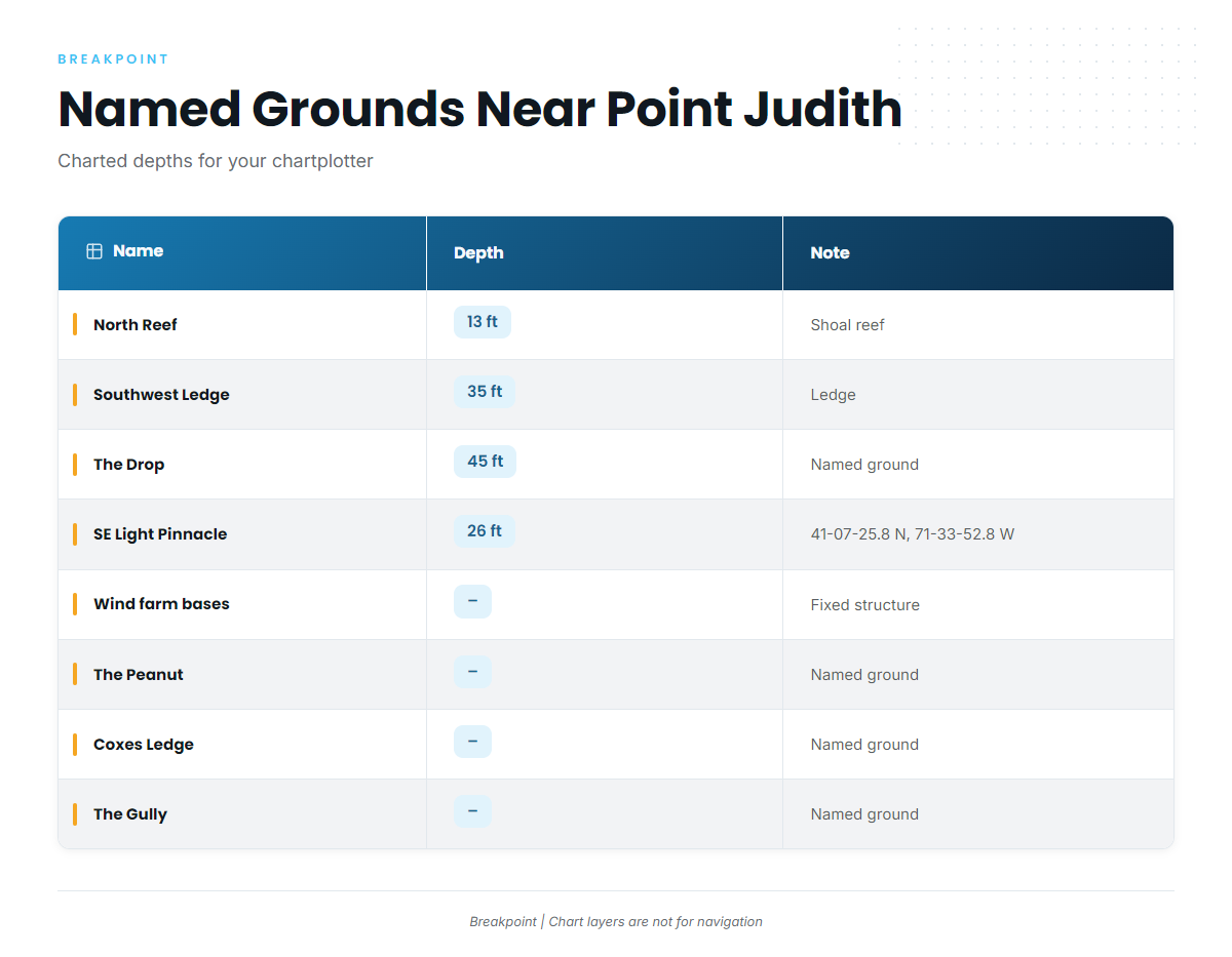
These are the named grounds a Point Judith boat works or passes on the way south of Block Island. Treat them as structure to plot, not as marlin spots.
| Name | Depth | Note |
|---|---|---|
| North Reef | 13 ft | Shoal reef |
| Southwest Ledge | 35 ft | Ledge |
| The Drop | 45 ft | Named ground |
| Southeast Light Pinnacle and humps | 26 ft | Pinnacle at about 41-07-25.8 N, 71-33-52.8 W |
| Block Island wind farm turbine bases | – | Fixed structure |
| The Peanut | – | Named ground |
| Coxes Ledge | – | Named ground |
| The Gully | – | Named ground |
The coordinate is approximate, and the depths are charted shoalest soundings, such as 26 ft over the humps.
Switch on the Chart Contours layer to see the humps around the Southeast Light Pinnacle. Chart layers are not for navigation.
NOAA tide station 8455083 at Point Judith is a tide station, not a wave buoy. Use it for water level before you run the harbor. For wind and seas, check the official NWS marine forecast.
How White Marlin Are Fished Here
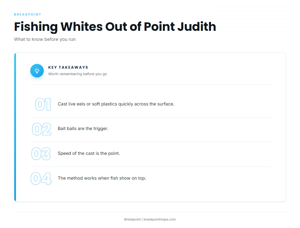
Local whites are fished in two ways: casting to fish on top, or running a canyon trip.
Casting to Bait Balls
Surface-feeding whites on bait balls are targeted by casting live eels or soft plastics quickly across the surface. The bait ball is what triggers the bite, and a fast cast matters. The method only works when fish show on top, so it depends on finding the bait.
Canyon Trips
C-Devil II lists white marlin as a possible catch on C-Devil II canyon trips. If you also chase other billfish, the billfish guides cover them species by species.
Who Fishes for Them
C-Devil II Sportfishing is the local charter that lists white marlin. It is run by Captain Kelly Smith with First Mate Gib Randall.
FAQ
When is white marlin season off Point Judith?
Summer, according to Sport Fishing’s canyon summary.
Do you have to run to the canyons?
No. You have two options from the same harbor: the canyon grounds, or surface-feeding whites south of Block Island in the nearshore grounds.
How do locals present to surface-feeding whites?
They cast live eels or soft plastics quickly across the surface to fish on bait balls. The method depends on fish showing on top.
Is there a charter that targets white marlin?
C-Devil II Sportfishing, with Captain Kelly Smith and First Mate Gib Randall, lists white marlin as a possible catch on canyon trips.
Where are the rules?
Check the state and federal pages linked in the Regulations section before fishing. This page states no figures.