
About Nantucket
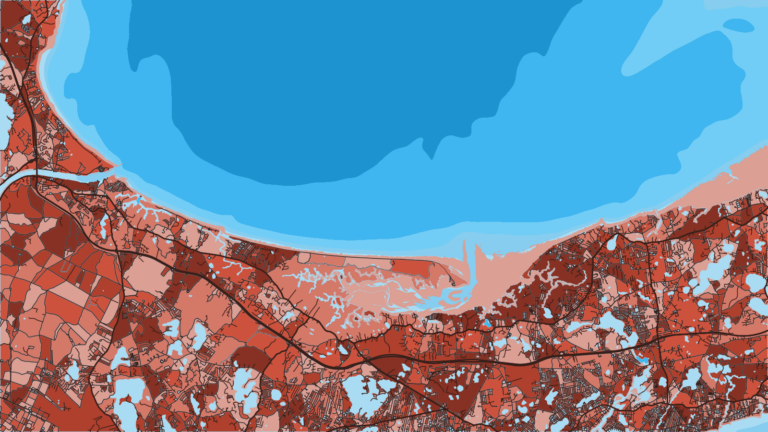
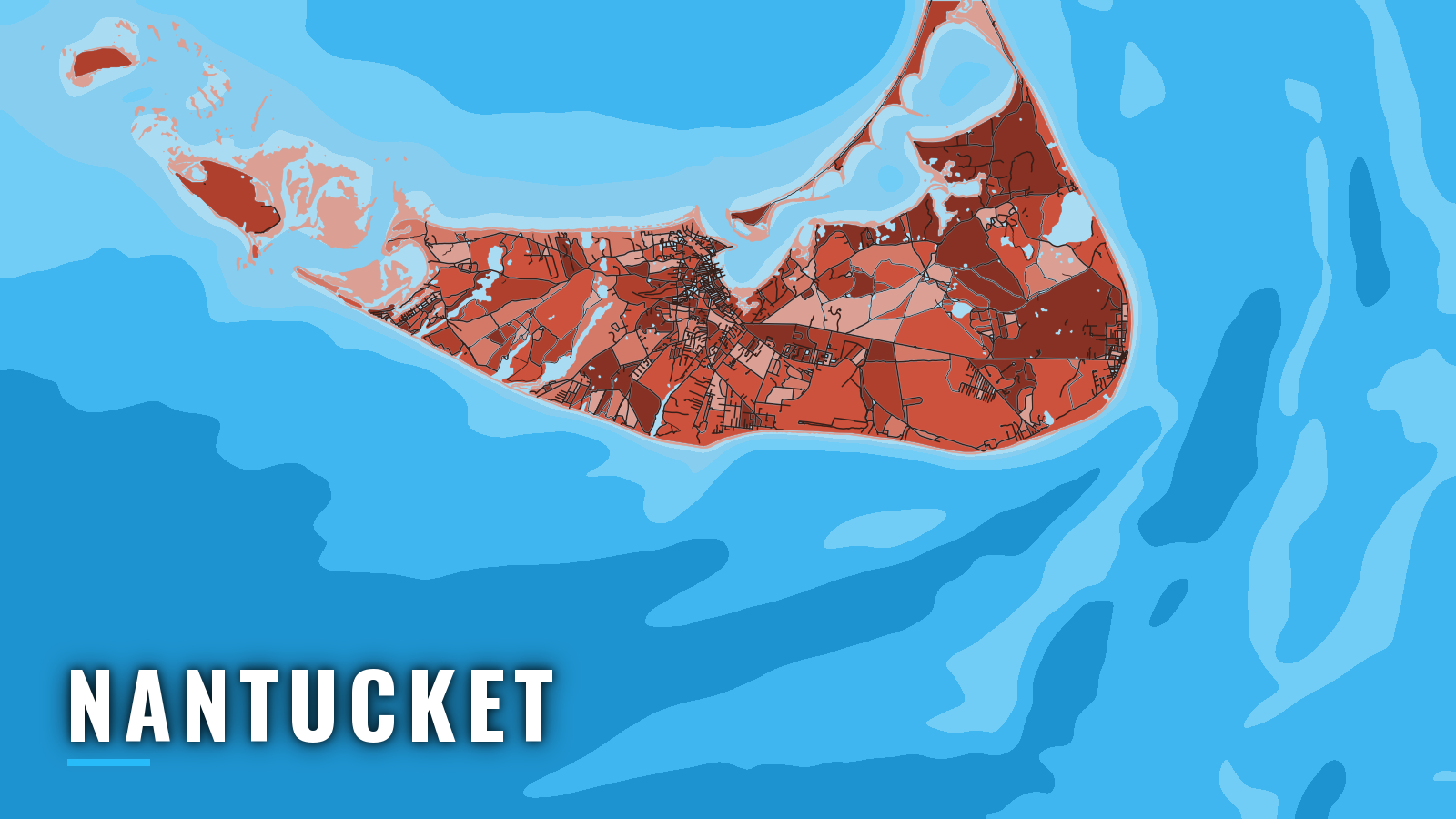
Nantucket Harbor sits on the north shore of the island and is entered from Nantucket Sound through a dredged channel between two stone jetties. Offshore boats use it as a refuge. The season runs spring through autumn, and anglers target striped bass, bluefish, bonito, false albacore, fluke, black sea bass and bluefin tuna. For wider coverage, see Massachusetts fishing.
Access and navigation
Public ramps and marinas:
- Children’s Beach boat ramp – harbor-side ramp by Brant Point.
- Walter S. Barrett public access boat ramp – Madaket, on Hither Creek.
- Jackson Point public access boat ramp – Madaket, on Hither Creek.
- Nantucket Boat Basin – marina in the harbor with fuel listed.
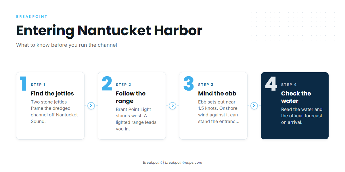
According to NOAA Coast Pilot 2 Chapter 4, the dredged channel is about 15 ft deep and 300 ft wide for roughly 1.6 miles. The east jetty is 6,990 ft long and carries a light and sound signal at its outer end. The west jetty is 5,755 ft long and ends at a buoy. Brant Point Light stands on the west side, and a lighted range leads in. Shallow water extends about 1 mile off both sides of the channel.
The flood sets in at about 1.2 knots and the ebb sets out at about 1.5 knots, compared with about 0.3 knot off the entrance. Because the ebb runs harder than the flood, an onshore wind against it can stand the entrance up. A long sweep of northeast wind runs down the harbor, which tends to turn choppy in easterlies, and anchoring off the wharves might be uncomfortable for small craft in that wind.
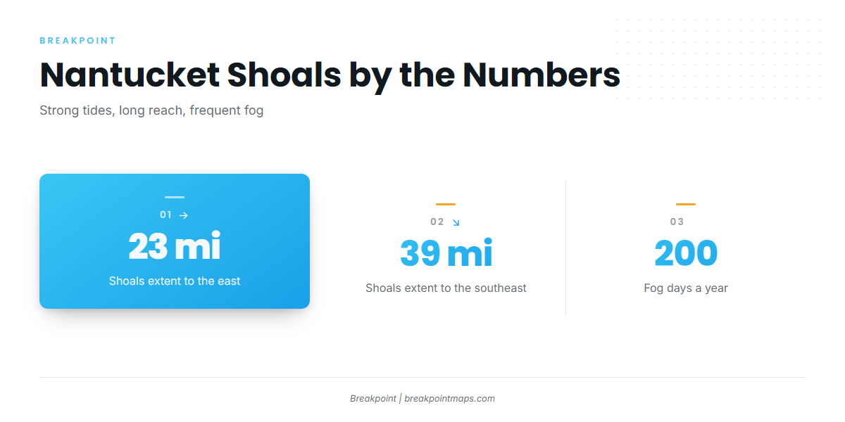
The harbor is one of 3 anchorages on Nantucket Sound that shelter vessels of over 10-ft draft from all winds. Nantucket Shoals extend about 23 miles east and 39 miles southeast of the island, with strong tidal currents over them. Fog is present about 200 days a year.
The alternative approach is Madaket Harbor and Hither Creek on the west end, reached over the bar from Nantucket Sound. The bar channel is privately marked, so the water may not match the chart, and the bar can shoal between surveys.
On arrival, look at the water and check the NWS Nantucket Sound forecast (ANZ232) and the coastal waters forecast for Massachusetts. If the entrance looks bigger than you want, use the other approach.
Fishing conditions
MassDMF sets the state rules, so check the MassDMF recreational saltwater regulations before fishing. For the wider picture, see how the Northeast season builds.
Named grounds:
- Great Point Rip – rip off the island’s northeast tip, where current runs over shoal water.
- Miacomet Rip – rip off the south shore.
- Bonito Bar – a named bank.
- Tuckernuck and Muskeget rips – west-end rips, near the Madaket approach.
- Sankaty Light – east-shore water below the light.
- Nantucket Shoals – the offshore bank, extending about 23 miles east and 39 miles southeast, with strong tidal currents. For yellowfin and bigeye tuna on the wider Northeast shelf, see the yellowfin tuna guide, the Northeast yellowfin guide, the bigeye tuna guide and the Northeast bigeye guide.
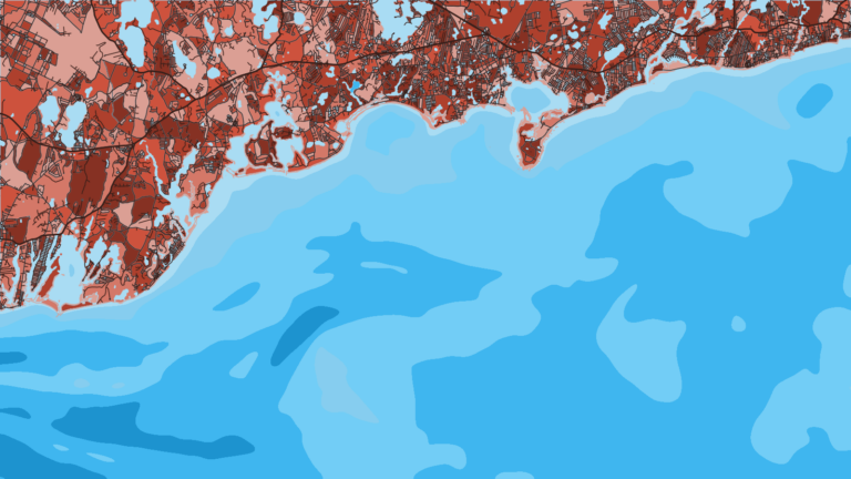
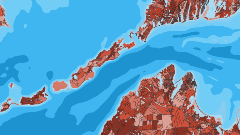
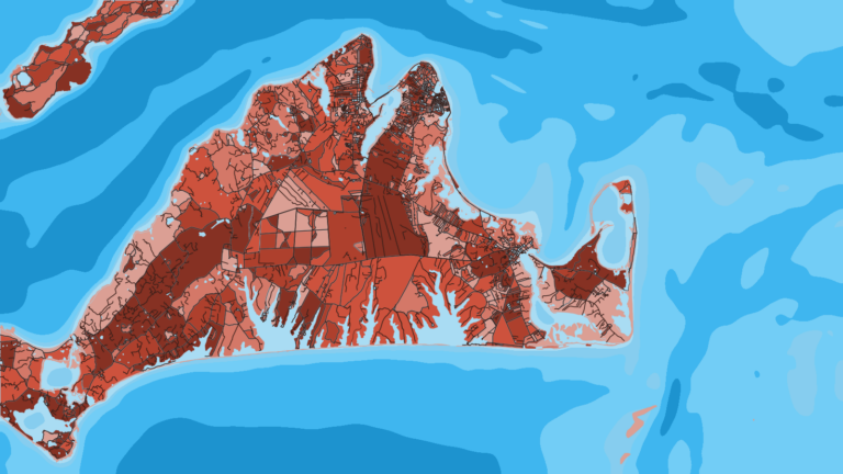
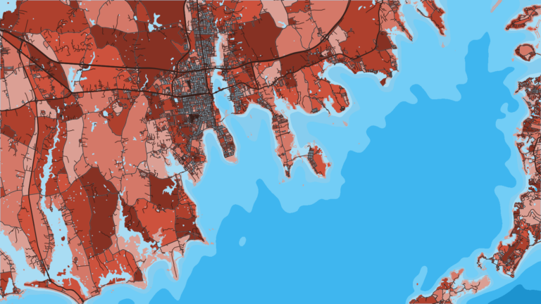
The rips and the shoals can be viewed in the OBS SST and Chlorophyll layers in the Breakpoint app. The chart layers are not for navigation.
Winter
The season runs spring through autumn. Fog, about 200 days a year, and the strong currents over the shoals remain the main planning factors.
Spring
Striped bass arrive first, and bluefish follow them in.
Summer
Striped bass and bluefish stay on the rips, joined by Atlantic bonito, black sea bass and fluke. For regional striped bass patterns, see the Northeast guide. Check MassDMF before keeping fish.
Autumn
Striped bass, bluefish, bonito, fluke and black sea bass continue, and false albacore and bluefin tuna are added. NOAA’s Highly Migratory Species office manages bluefin federally, and MassDMF sets no separate state limit.