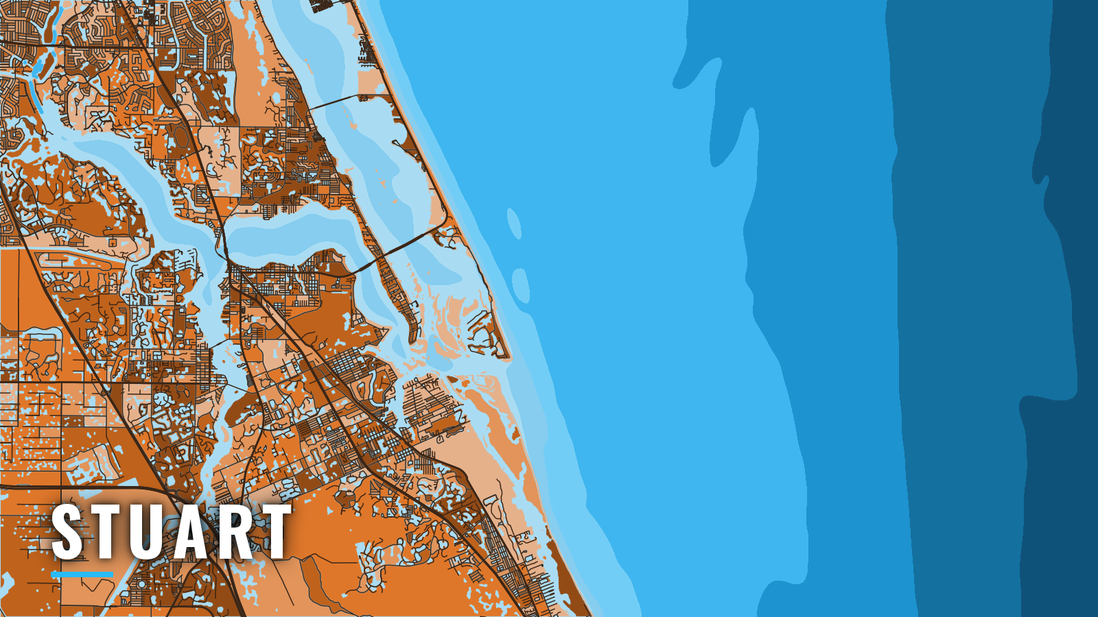

About Stuart
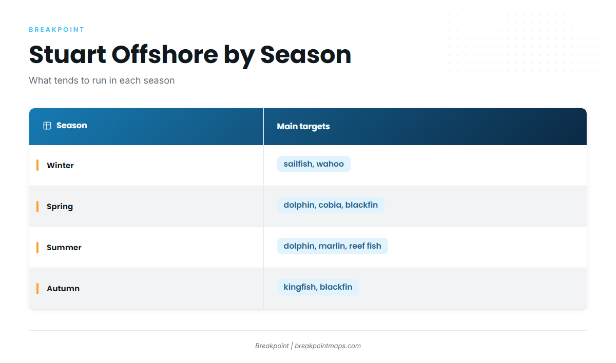
Stuart reaches the Atlantic through St. Lucie Inlet, which lies between Fort Pierce Inlet to the north and Jupiter Inlet to the south. Boats from Stuart and Port Salerno run out from Manatee Pocket and the St. Lucie River, and the Intracoastal Waterway meets the river near the inlet. Local sources put reefs and the Gulf Stream within several miles of the inlet, which fits the Atlantic southeast offshore pattern along Florida’s Atlantic coast. Stuart calls itself the Sailfish Capital of the World, and there is more on sailfish off the Atlantic southeast worth reading before you plan a run. The main targets are sailfish, dolphin, kingfish, wahoo, cobia and blackfin tuna, with reef fish on the named reefs. Winter is billfish season, spring and summer bring dolphin and the reef bite, and autumn brings kingfish and blackfin back.
Access and navigation
One public ramp and two marinas with fuel listed serve the inlet:
- Sandsprit Park boat rampMartin County public ramp in Port Salerno, on Manatee Pocket near the inlet, with no-wake water in the Pocket.
- Sailfish Marina of Stuartfuel listed, at the mouth of Manatee Pocket off the St. Lucie River.
- Pirate’s Cove Resort & Marinafuel listed.
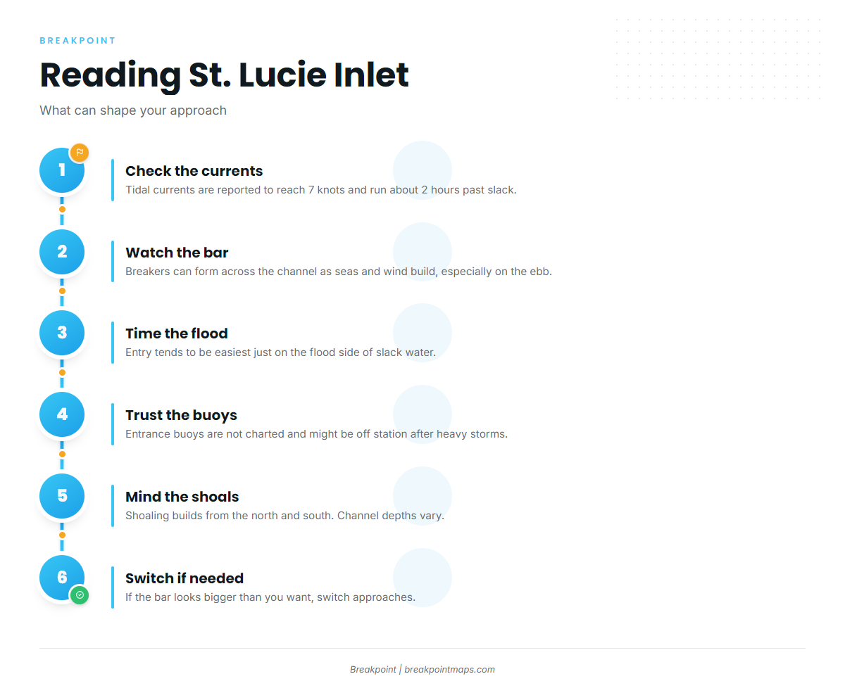
Coast Pilot 4, Chapter 10 reports tidal currents in St. Lucie Inlet reaching 7 knots and running about 2 hours past high and low water. Breakers can form throughout the channel as seas, ground swell and wind build, particularly on the ebb. Entry is usually easiest just on the flood side of slack water. The entrance buoys are not charted because they are moved to mark the best water, and they may be off station after heavy storms. Shoaling builds across the channel from both the north and the south, and extensive bars lie on the north side of the channel inside the north jetty. Channel depths vary. Chart layers, including ours, are not for navigation, and the buoys on the water take precedence over any chart. For a visual check before you commit, the St. Lucie Inlet bar camera is available, though it is a private camera and not a navigation aid.
Cross currents are reported where the St. Lucie River meets the Intracoastal Waterway, and a hard ledge lies on the north side of the channel. For the short turn off the waterway, the guidance is to stay about 100 yards south of a line between Light 4 and Daybeacon 6.
Fort Pierce Inlet, 20 miles north, is one alternative approach. It has a federal channel marked with lighted ranges and lighted buoys, strong currents are reported there, and the entrance can get steeper in southeasterly weather on an ebb. Jupiter Inlet, 14 miles south, is the other. Treat both as approaches only. When you arrive, look at the water on the bar and read the NWS marine forecast for the area. If conditions look bigger than you want, switch approaches.
Fishing conditions
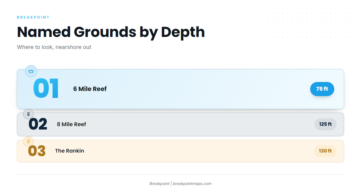
The named grounds off Stuart run from the Martin County artificial reef sites out to The Rankin in 130 ft. They are places to look, and fish are not guaranteed at any of them.
- 6 Mile Reef – 75 ft.
- 8 Mile Reef – 125 ft.
- The Rankin – 130 ft.
- Martin County artificial reefs: Edgar Ernst Reef, Bill Donaldson Reef, Sirotkin Reef Site and South County Reef Site. Coordinates are on the Martin County artificial reef sites page.
- King Fish Hole.
Winter
Sailfish lead the season, and how sailfish feed and move shapes where you set up. Wahoo show on the deeper edges; see wahoo on the deeper edges before you run. Swordfish, blue marlin and spanish mackerel round out the winter list.
Spring
Spring is the busiest season. Cobia show up, and cobia around structure and rays describes the pattern to watch. The dolphin run builds, covered in the dolphin run off the Atlantic coast. Blackfin tuna make their first appearance, and blackfin tuna in the Atlantic southeast explains where they sit. Kingfish, amberjack, wahoo, sailfish and tilefish are also on the spring list.
Summer
Dolphin work along weed lines, and blue marlin and wahoo run offshore. Grouper, amberjack and barracuda hold on the reefs, while kingfish and sailfish are still around.
Autumn
Kingfish return, and so do blackfin tuna; blackfin tuna tactics and range covers how to find them. Wahoo, swordfish and spanish mackerel complete the autumn list.
Regulations
Check FWC rules before you fish. Private-boat anglers 16 and older need the free State Reef Fish Angler designation to harvest or possess listed reef species, amberjack and grouper among them, and the FWC State Reef Fish Survey page has the details. The St. Lucie Hump MPA lies at 27°04′ to 27°08′ N, 79°58′ to 80°00′ W. Snapper-grouper fishing and possession are prohibited there, and transit with gear stowed is allowed, per the St. Lucie Hump MPA rule.