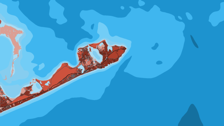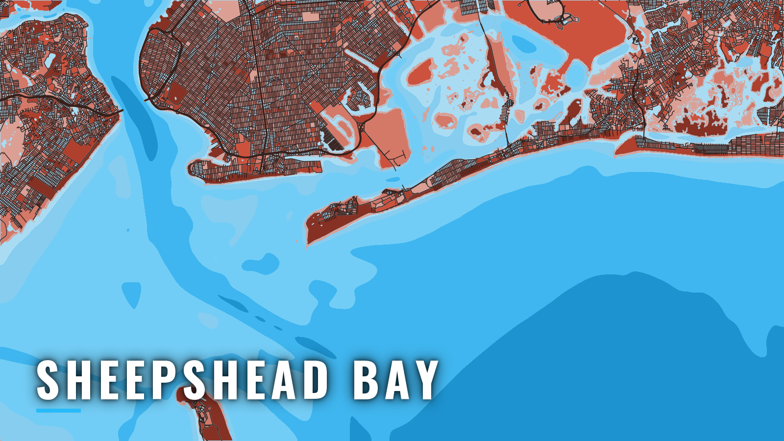

About Sheepshead Bay
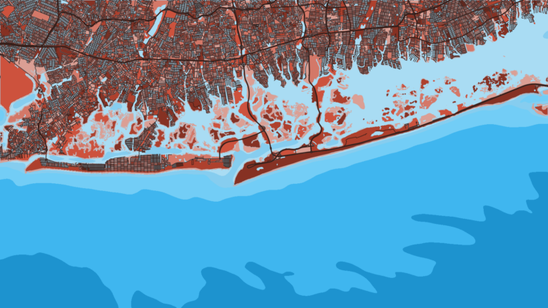
Sheepshead Bay is a Brooklyn harbor that opens through Rockaway Inlet to Lower New York Bay and the offshore water of the New York Bight. The fleet berths at nine concrete piers along Emmons Avenue. The water outside runs from the bay and the inlet to the reefs and banks off the Rockaway shore.
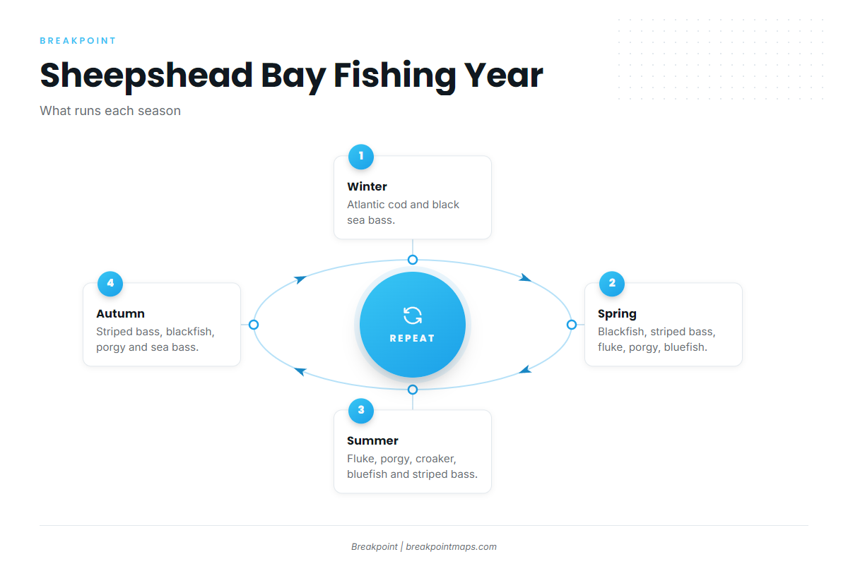
Offshore fishing out of Sheepshead Bay follows the seasons. Winter is cod and black sea bass. Spring adds blackfish, striped bass, fluke, porgy and bluefish. Summer brings fluke, porgy, croaker and bluefish, and autumn returns to striped bass, blackfish, porgy and sea bass. The rest of this page covers how to get out and back, and what each season offers on the water.
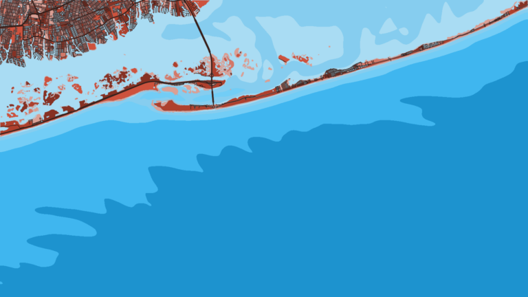
Boats on New York’s south-shore coast can also work from other ports along the same stretch of the Atlantic. More New York ports, such as Freeport, sit east along the Long Island shore.
Access and navigation
The Emmons Avenue piers hold the fleet. Sheepshead Bay Yacht Club moorings are rented short and long term to monohulls of 50 ft or less and multihulls of 45 ft or less. The club’s launch service answers on VHF 68. Launch hours vary through the season, so check with the club before planning around them.
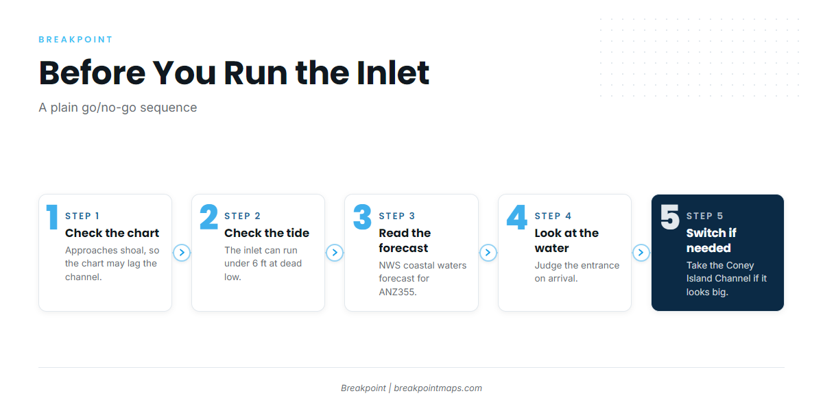
The inlet to Sheepshead Bay can run under 6 ft at dead low tide, according to the club, so check the chart and the tide before leaving. Approaches shoal continually and buoys may be moved to mark the best water, which means the chart may lag the channel.
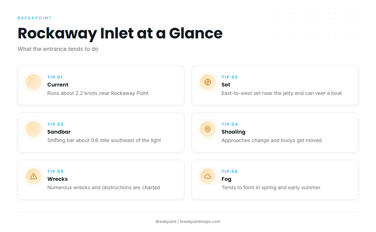
Rockaway Inlet is the part of the run that needs the most attention. According to NOAA Coast Pilot 2, Chapter 11, the entrance and its approaches tend to behave as follows:
- Current: the tidal current in the entrance channel near Rockaway Point runs about 2.2 knots. An opposing wind on that current can stand the entrance up.
- Set: a strong east-to-west set near the seaward end of the jetty can make a boat veer suddenly when entering or leaving.
- Sandbar: a shifting bar sits about 0.6 mile southeast of the breakwater light.
- Shoaling: the approaches change continually, and buoys are moved to follow the water.
- Wrecks: numerous wrecks and obstructions are charted.
- Fog: advection fog tends to form in spring and early summer on east-through-south winds. It tends to peak in the afternoon in the approaches and in the morning in the harbor.
From November 1 to April 30, vessels 65 ft or longer are limited to 10 knots in a right whale seasonal management area off the harbor.
The Coney Island Channel is the alternative approach to the Lower Bay. Look at the water on arrival and read the NWS coastal waters forecast ANZ355 for Sandy Hook NJ to Fire Island Inlet NY, out 20 NM, before committing to the inlet. If the inlet looks bigger than you want, switch to the Coney Island Channel.
Fishing conditions
The named grounds start close to the bay. Rockaway Reef is an artificial reef off Rockaway, and Jamaica Bay is the inshore water east of the bay. Atlantic Beach Reef sits farther east along the same shore and adds more artificial reef structure.
The state sets the rules in waters out to 3 miles, so read the NYSDEC recreational fishing regulations before fishing. Saltwater anglers also register with the New York Recreational Marine Fishing Registry.
Winter
Atlantic cod and black sea bass are the winter fish. Availability follows the open seasons, so check NYSDEC before planning a trip.
Spring
Spring brings cod, blackfish, striped bass, fluke, porgy and bluefish. Per NYSDEC, federal waters beyond 3 miles are closed to striped bass. The spring fog described above can shape when you run.
Summer
Summer fishing turns to striped bass, fluke, porgy, croaker and bluefish. For boats rigged for it, the long run toward Hudson Canyon can put bluefin and yellowfin tuna in play. Tuna requires a NOAA Highly Migratory Species permit on top of the state registry. For more on yellowfin in the Northeast, see the regional guide.
Autumn
Autumn puts striped bass, blackfish, porgy and black sea bass on the water. The regional fall run of striped bass is the main draw, and black sea bass fill in the structure fishing. Bluefin can still be a canyon-run option for boats equipped for the distance.
Before you run, look at where the water is setting up in the OBS SST, Chlorophyll and Chart Contours layers in Breakpoint. Chart layers are not for navigation.