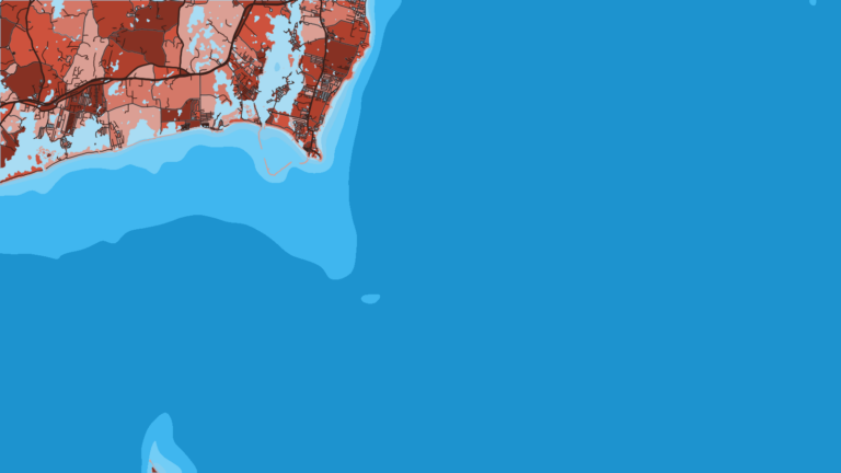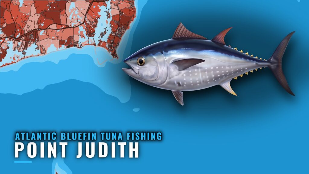
Atlantic bluefin tuna fishing out of Point Judith means a run past Block Island to the grounds south of it. This page covers when the fish are here, where boats run, the charted structure in the area, how bluefin are fished and who fishes for them from this port.
Life history and size biology are in our Atlantic bluefin tuna guide. This page stays on the port. The place to start looking is the contour at 170 to 200 ft.
When bluefin are off Point Judith
Bluefin show up off Point Judith in June and stay into fall. Soundings reports that tuna action usually starts in June, and a South of Block article also says bluefin show up first in June.
For the wider migration picture, see our page on bluefin in the Atlantic Northeast (see also the Atlantic Northeast fishing guide).
| Window | What the sources say |
|---|---|
| June | Tuna action usually starts (Soundings). Bluefin show up first (South of Block). |
| Into fall | The fishery carries on after the June start. |
Where Point Judith boats run for bluefin
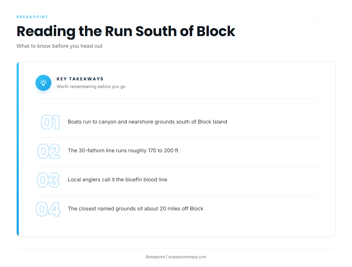
Point Judith boats run to the canyon and nearshore grounds south of Block Island. The closest named grounds sit about 20 miles off Block.
South of Block and the 30-fathom line
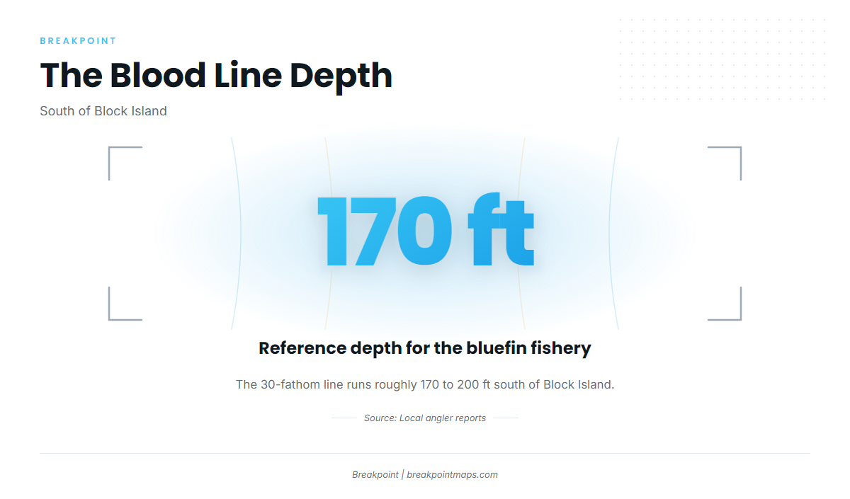
The 30-fathom line south of Block runs roughly 170 to 200 ft. Local anglers call it the bluefin "blood line," and about 170 ft is the depth reference for the fishery.
The named grounds are positioned relative to this contour, so it is the first line to find on the chart. Chart layers such as Chart Contours show where it runs, but chart layers are not for navigation.
The Dump, the Gully, the Inside Fingers, Coxes and Gordon’s Gully
These are the offshore grounds Point Judith boats run to for bluefin:
- The Dump
- The Gully
- The Inside Fingers
- Coxes
- Gordon’s Gully
The closest of them is about 20 miles off Block.
Point Judith tides
NOAA tide station 8455083 at Point Judith is the tide reference for the port. It reports tide only, not offshore conditions. For wind and seas on the run, check the official National Weather Service marine forecast.
Grounds and structure near Point Judith
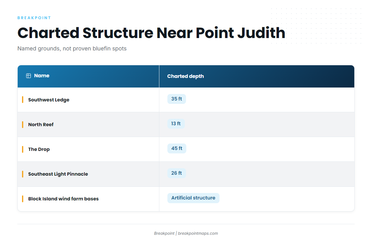
These are the charted, named grounds and structure between the harbor and the offshore water. They are structure in the area and not a list of proven bluefin spots.
| Name | Charted depth | Note |
|---|---|---|
| Southwest Ledge | 35 ft | |
| North Reef | 13 ft | |
| The Drop | 45 ft | |
| The Peanut | ||
| Southeast Light Pinnacle and humps | 26 ft | Pinnacle at about 41-07-25.8 N, 71-33-52.8 W |
| Block Island wind farm turbine bases | Artificial structure | |
| Coxes Ledge | ||
| The Gully |
Depths are charted values. Treat Breakpoint chart layers as reference, and keep your plotter and official charts for navigation.
How bluefin are fished out of Point Judith
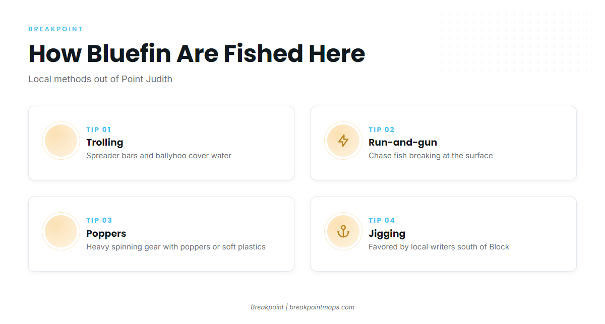
Bluefin fishing out of Point Judith runs in two modes: trolling to cover water, and run-and-gun on breaking fish. For rigging and tackle detail, see our tuna fishing guides.
Trolling spreader bars and ballyhoo
Trolled spreads cover water. Local boats run spreader bars and ballyhoo.
Run-and-gun on breaking fish
When fish break at the surface, boats run to them. The gear is heavy spinning rods with poppers or soft plastics.
Jigging and popping
Local writers favor jigging and popping for bluefin south of Block. Of the methods covered here, it is the only one tied to a specific place.
Who fishes for them from Point Judith
These local charters list Atlantic bluefin tuna:
- C-Devil II Sportfishing charters: Captain Kelly Smith and First Mate Gib Randall.
- Aerie Charters with Aerie One: Aerie One, skippered by Captain Howard "Buzz" Smart.
- The Fleet RI three-boat fleet: three boats, a 21 ft Sea Hunt, a 26 ft Edgewater and a 29 ft Albemarle.
FAQ about Atlantic bluefin tuna fishing out of Point Judith
When do bluefin show up off Point Judith?
June, and they stay into fall. Soundings says tuna action usually starts in June, and a South of Block article says bluefin show up first in June.
How far is the run to the bluefin grounds?
The closest named grounds are about 20 miles off Block Island. The named grounds are the Dump, the Gully, the Inside Fingers, Coxes and Gordon’s Gully.
What depth is the blood line south of Block?
The 30-fathom line runs roughly 170 to 200 ft, and about 170 ft is the reference depth. Chart layers are not for navigation.
Which Point Judith charters target bluefin?
C-Devil II Sportfishing, Aerie Charters and The Fleet RI. C-Devil II is run by Captain Kelly Smith, Aerie One by Captain Howard "Buzz" Smart, and The Fleet RI runs three boats.
Where do you check the tide at Point Judith?
NOAA tide station 8455083 at Point Judith. For wind and seas, use the official National Weather Service marine forecast, since a tide station does not report offshore conditions.