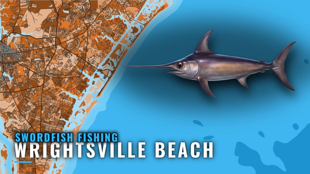
Daytime swordfish fishing out of Wrightsville Beach is a long day: Southern Run lists its trip at 14 hours, running up to 80 miles offshore from Masonboro Inlet. This page covers the reported months, the run, the structure off the inlet and the buoy to watch. For the inlet, ramps and everything else that fishes from Wrightsville Beach, use the port page, and for biology and technique see the swordfish guide.
When swordfish are reported off Wrightsville Beach
The reports here come from one operator, so they describe one fleet’s trips. Use them as a timing window for planning rather than a calendar of the fish.
Months in the reports
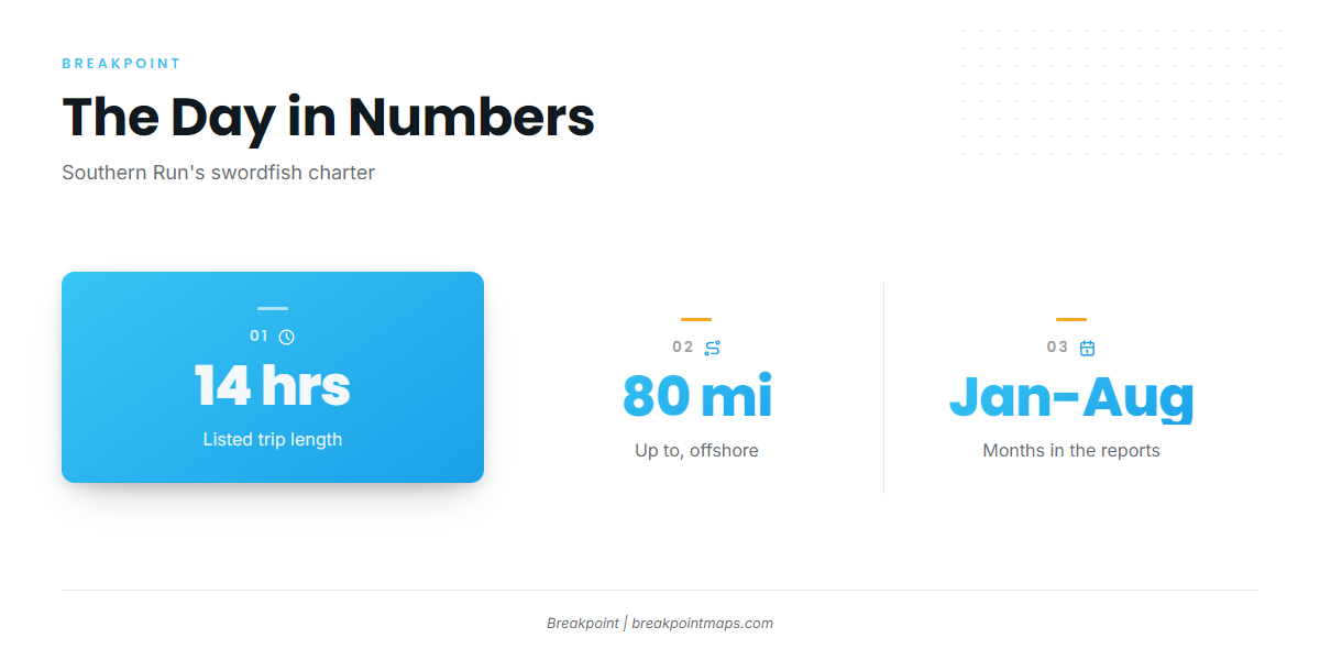
Reports span January through August from Southern Run’s trips.
Length of the day
Southern Run lists its swordfish charter as a 14-hour trip. Plan the boat, crew and daylight around that length.
How far boats run from Masonboro Inlet
Southern Run’s trip sets the range here, and one nearshore buoy covers the inlet end of it.
The 80-mile run
Southern Run’s 14-hour swordfish trip runs up to 80 miles offshore of Wrightsville Beach. For range planning and the general offshore picture, see the regional picture for the Southeast (see also the wider Atlantic Southeast guide).
Reading conditions at NDBC 41038
The nearest NOAA buoy is NDBC 41038:
- Station: NDBC 41038, Wrightsville Beach Nearshore (ILM2)
- Position: 34.141 N 77.715 W
- Water depth: 18 m
The station sits in 18 m of water near the beach, so it reads conditions at the inlet end of the run, not 80 miles out. For the offshore end, check the official NWS marine forecast and read wind, wave height and period.
Structure off Masonboro Inlet
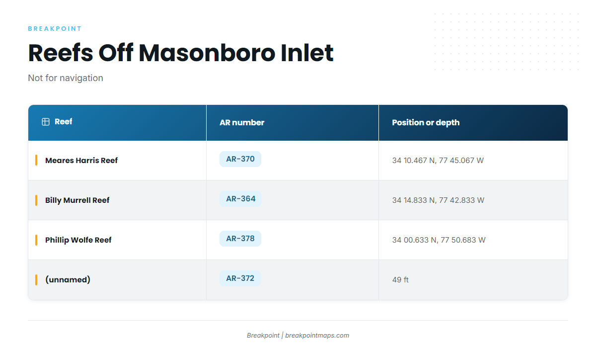
These named reefs and wrecks sit off the inlet and along the way out. They serve as reference points for the run; we make no claim that they hold swordfish.
Inlet jetties
The north and south jetties mark Masonboro Inlet. U.S. Coast Pilot 4 covers the approach.
Artificial reefs with coordinates
North Carolina numbers its reefs in the state artificial reef guide. Four sit off the inlet:
| Reef | AR number | Position or depth |
|---|---|---|
| Meares Harris Reef | AR-370 | 34 10.467 N, 77 45.067 W |
| Billy Murrell Reef | AR-364 | 34 14.833 N, 77 42.833 W |
| Phillip Wolfe Reef | AR-378 | 34 00.633 N, 77 50.683 W |
| (unnamed) | AR-372 | 49 ft |
Coordinates and chart layers are not for navigation.
Other named grounds
Three more names come up around the port:
- Schoolhouse
- Dredge Wreck Reef
- 10-Mile Boxcars
How swordfish are fished out of Wrightsville Beach
Locally, swordfishing means a daytime trip, and one charter lists it.
Daytime on a 14-hour trip
The method listed locally is daytime swordfishing on a 14-hour trip with Southern Run. The same run reaches other billfish ground offshore.
Who runs swordfish trips here
Southern Run Fishing Charters, with Captain Ben Morris, lists swordfish on its charter menu.
FAQ: swordfish fishing out of Wrightsville Beach
How far offshore do boats run for swordfish from Wrightsville Beach?
Up to 80 miles offshore, on Southern Run’s 14-hour swordfish trip.
What months are swordfish reported off Wrightsville Beach?
Reports span January through August from Southern Run’s trips.
How long is a swordfish trip out of Wrightsville Beach?
14 hours. Southern Run lists its daytime swordfish charter at that length.
Is there a swordfish charter in Wrightsville Beach?
Yes. Southern Run Fishing Charters, with Captain Ben Morris, lists swordfish trips.
Which buoy should I check before running out of Masonboro Inlet?
NDBC 41038 (ILM2), at 34.141 N 77.715 W in 18 m of water. It reads nearshore conditions, so pair it with the NWS marine forecast for the offshore end.