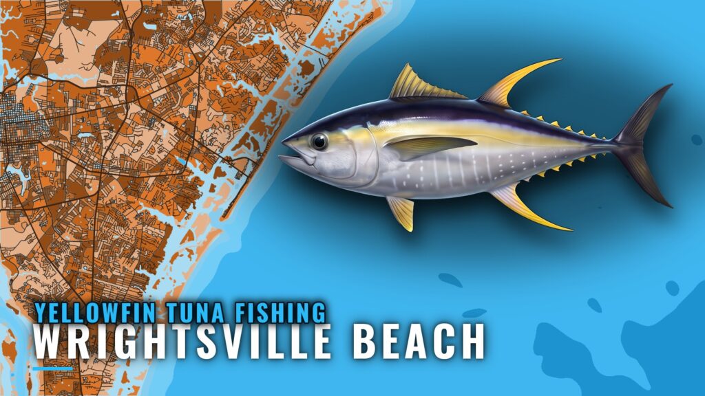
Yellowfin tuna fishing out of Wrightsville Beach means a run to the Gulf Stream, up to 60 miles from Masonboro Inlet. This page covers the season, the run, the named structure with coordinates, the nearest buoy, the local method and the boats that fish for yellowfin from this port. It helps you decide when to go and where to look, and it does not promise fish. Ramps, marinas and inlet notes are on the Wrightsville Beach port page. For the species itself, see our yellowfin tuna fishing guide.
When Yellowfin Are Around Wrightsville Beach
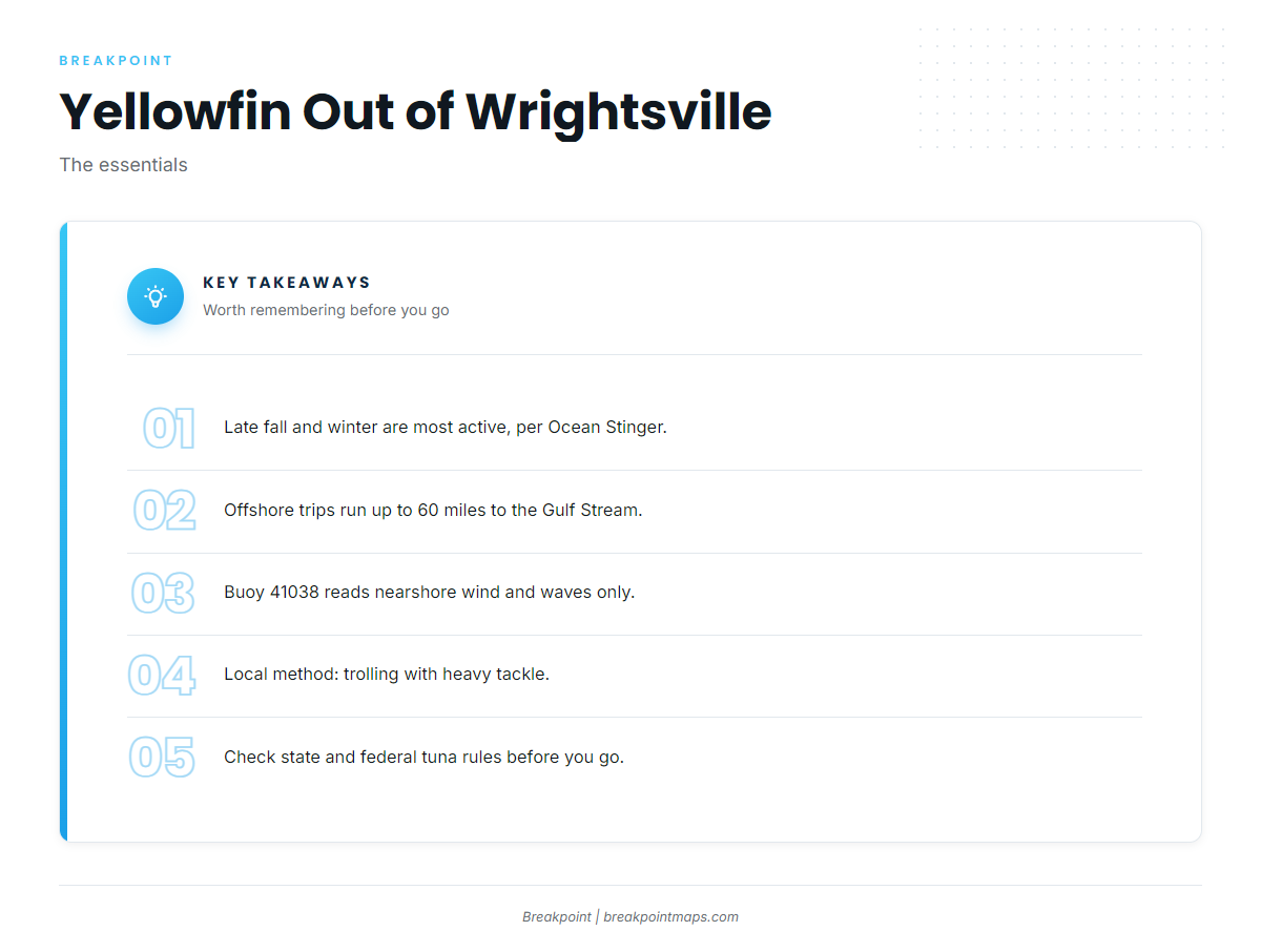
Late fall and winter are the most active period for yellowfin out of this port, and an occasional fish shows up on long trolling trips. Both points come from two local operators.
- Most active: late fall and winter, per Ocean Stinger Charters offshore trips
- Occasional: yellowfin on 12-hour trolling trips, per Southern Run
- Where: the Gulf Stream, not the nearshore reefs
The same Gulf Stream fishery runs up and down the coast. For the wider view, see the Atlantic Southeast picture (see also the wider Atlantic Southeast guide).
Late Fall and Winter
Ocean Stinger describes late fall and winter as the most active period for yellowfin here. If yellowfin is the goal of the trip, plan around that window.
Occasional Fish on 12-Hour Trips
Southern Run catches yellowfin occasionally on its 12-hour trolling trips. A yellowfin on one of those trips is a possible bonus, and you shouldn’t count on it.
The Run to the Gulf Stream
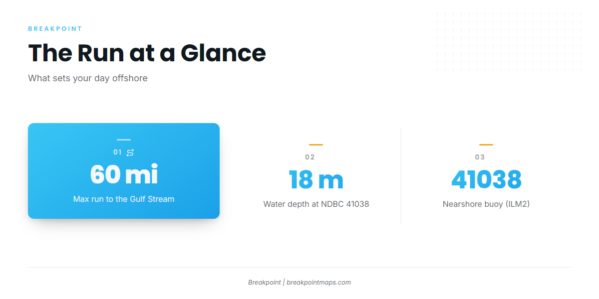
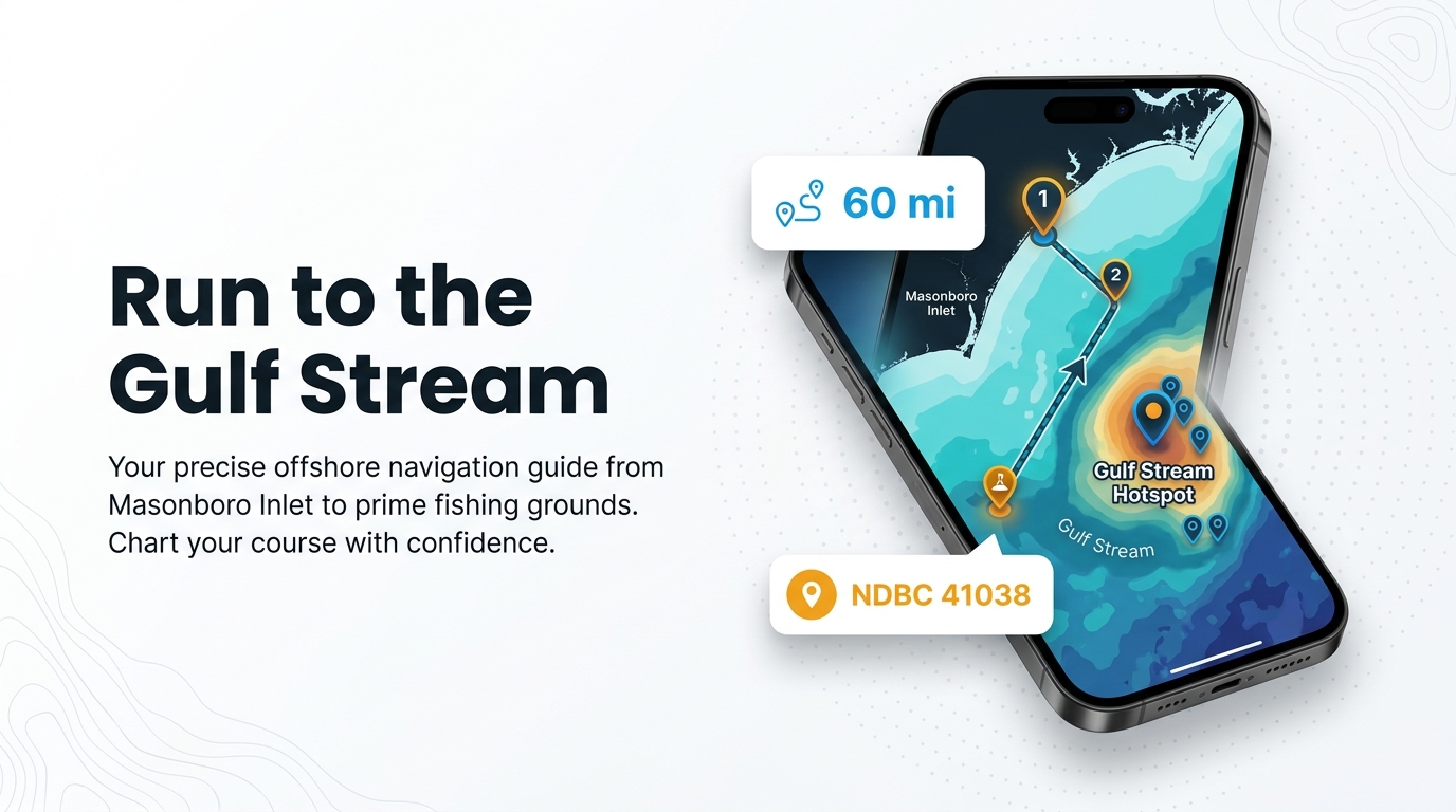
Every run starts at Masonboro Inlet and ends at the Gulf Stream. The distance sets your fuel plan and your weather window for the whole day, so settle it first.
Up to 60 Miles
Ocean Stinger’s offshore trips run up to 60 miles out to the Gulf Stream. Plan the fuel, the departure and the return around that number, and check the official marine forecast for the offshore leg before you commit.
Reading NDBC 41038
The nearest NOAA buoy is listed below.
| Item | Detail |
|---|---|
| Station | NDBC 41038, Wrightsville Beach Nearshore (ILM2) |
| Position | 34.141 N 77.715 W |
| Water depth | 18 m (about 59 ft) |
It reports wind, wave height and period near the beach. It cannot show conditions at the Stream, 60 miles out. For the offshore leg, use the official NWS marine forecast and read the numbers yourself.
Grounds and Structure Off Masonboro Inlet
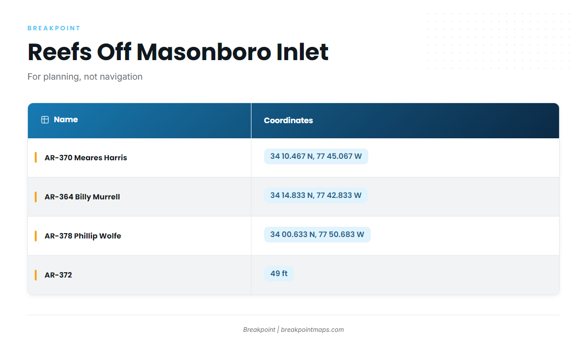
These are the named grounds near Wrightsville Beach. Coordinates and chart layers are for planning and should not be used for navigation; use your official charts for the run.
The Jetties
The north and south jetties sit at Masonboro Inlet.
AR Reefs
The artificial reefs below are named structure near the port. Coordinates are printed as listed.
| Name | Type | Depth or Coordinates |
|---|---|---|
| AR-370 Meares Harris Reef | artificial reef | 34 10.467 N, 77 45.067 W |
| AR-364 Billy Murrell Reef | artificial reef | 34 14.833 N, 77 42.833 W |
| AR-378 Phillip Wolfe Reef | artificial reef | 34 00.633 N, 77 50.683 W |
| AR-372 | artificial reef | 49 ft |
| Masonboro Inlet north and south jetties | jetties | At Masonboro Inlet |
Other Named Grounds
Three more names are on the local list: Schoolhouse, Dredge Wreck Reef and 10-Mile Boxcars.
How Yellowfin Are Fished Here
The local method is a heavy-tackle troll on Gulf Stream trips.
- Method: trolling
- Gear class: heavy tackle
- Where: the Gulf Stream, on full-day trips
Trolling With Heavy Tackle
Locals troll with heavy tackle on Gulf Stream trips. For rigging detail beyond local practice, see our tuna fishing guides.
Who Fishes for Them From This Port
Two operators fish for yellowfin from this port, and they work in different ways.
Ocean Stinger Charters
Ocean Stinger Charters is run by Captain Jesse Gawlik. It lists yellowfin tuna, and its offshore trips run up to 60 miles.
Southern Run
Southern Run runs 12-hour trolling trips and catches yellowfin occasionally on them.
FAQ: Yellowfin Tuna Fishing Out of Wrightsville Beach
When is the most active season for yellowfin off Wrightsville Beach?
Ocean Stinger describes late fall and winter as the most active period. Southern Run catches yellowfin occasionally on its 12-hour trolling trips.
How far do boats run for yellowfin?
Boats run to the Gulf Stream. Ocean Stinger’s offshore trips go up to 60 miles out.
Which buoy should I watch?
NDBC 41038 (ILM2), at 34.141 N 77.715 W in 18 m of water. It reads nearshore wind, wave height and period. Check the official forecast for offshore conditions.
What method do local boats use?
Trolling with heavy tackle on Gulf Stream trips.
Who runs yellowfin charters from this port?
Ocean Stinger Charters, with Captain Jesse Gawlik, and Southern Run, with its 12-hour trolling trips.